Entrenamiento de Caminata de Montaña El Toquito II [ESP/ENG]
Greetings friends of Hive and @fulldeportes, today again I'm going to share with you my mountain hiking training on the route of El Toquito II hill, in the community of Villa de Cura, Aragua state, Venezuela.
Esta semana planifique con un amigo, explorar una nueva ruta que no conocía, en el cerro del Toquito, por eso el del día de hoy, nos levantamos bien temprano y estaba haciendo un poco de frio, salimos a la 5:49 am, pero parecía de noche, active la aplicación Strava para registrar el entrenamiento, caminamos los primeros 3 K, llegamos al estadio de la comunidad del Toquito, en la parte de arriba está la montaña, por eso subimos por un camino que se encuentra detrás, pero no pudimos avanzar más ya que los arbustos estaban muy alto, me manifestó mi amigo que tenía bastante tiempo sin subir por aquí. Entonces debido a esto, nos regresamos para subir el cerro del Toquito II.
This week I planned with a friend, explore a new route that he didn't know, on the Toquito hill, that's why today, we got up very early and it was a little cold, we left at 5:49 am, but It seemed like night, activate the Strava application to record the training, we walked the first 3 K, we arrived at the Toquito community stadium, at the top is the mountain, so we went up a path that is behind, but no . We were able to advance further since the bushes were very high, my friend told me that he had not climbed here for quite some time. So because of this, we returned to climb the Toquito II hill.
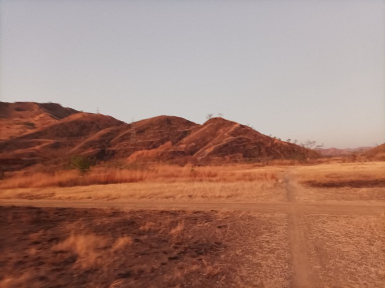
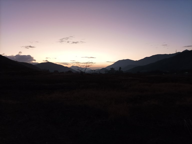
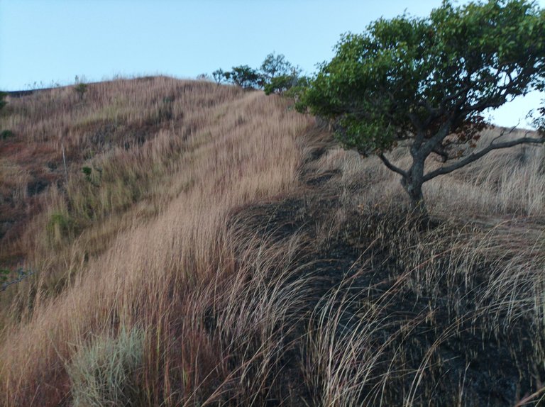
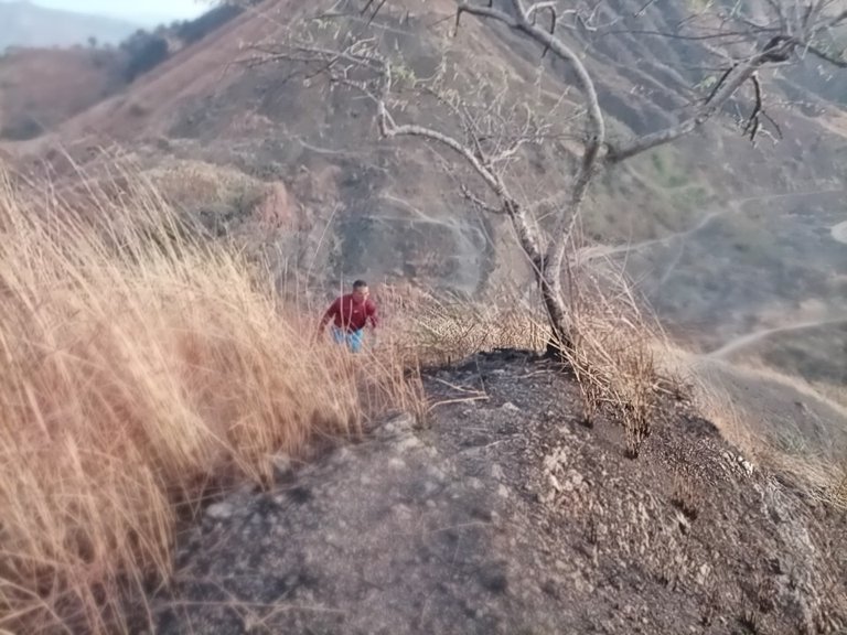
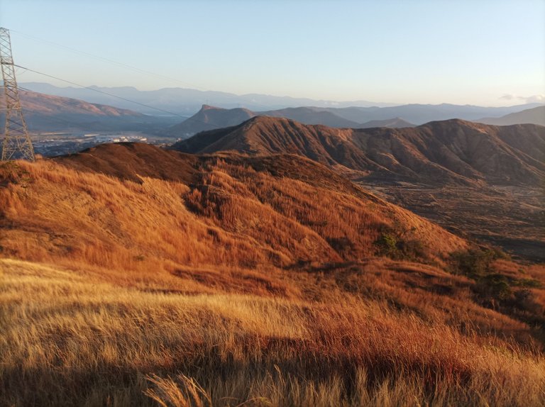
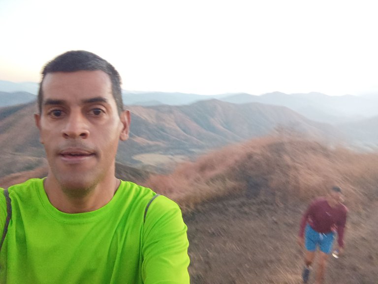
Cabe destacar que está montaña, se encuentra detrás de la pista, y al comenzar a subir, lo que podemos observar es que está el terreno muy árido, debido a la quema, en algunas partes los arbustos están caídos, y no hay visibilidad del camino, me iba guiando a medida que iba subiendo en dirección de la cima de esta parte, que es un poco inclinada. Por este lado de la mañana se comunica con el sector de Mata de Café, en donde algunas personas caminan por esta parte para llegar más rápido a esta comunidad. Llegamos a la cima de la montaña con un tiempo de 58:11 minutos, y una distancia de 4,64K.
It should be noted that this mountain is located behind the track, and when we begin to climb, what we can see is that the terrain is very arid, due to the burning, in some parts the bushes are fallen, and there is no visibility of the road. , was guiding me as I climbed towards the top of this part, which is a bit inclined. On this side in the morning it communicates with the Mata de Café sector, where some people walk through this part to get to this community faster. We reached the top of the mountain with a time of 58:11 minutes, and a distance of 4.64K.
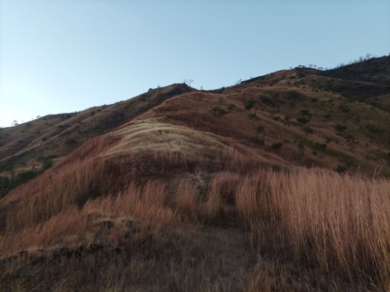
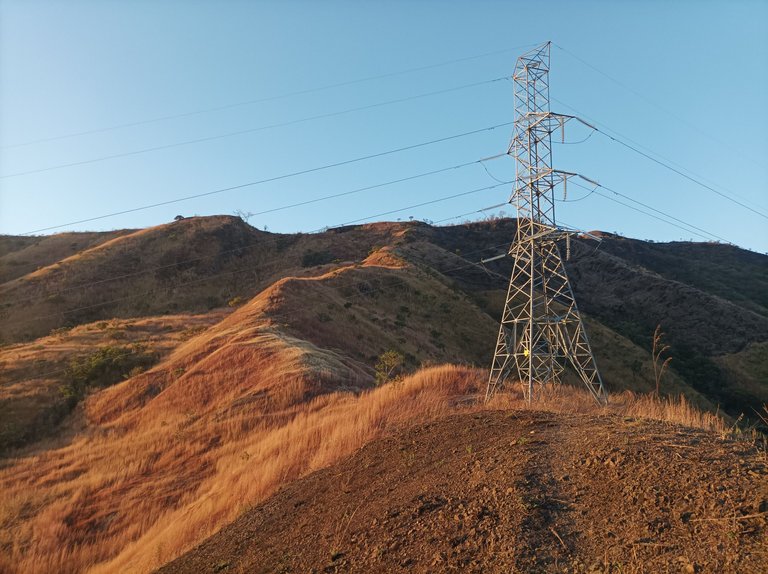
Después de hidratarnos un poco, intentamos continuar caminando hacia la izquierda, para bajar por ver si podíamos bajar por el estadio pero había unos arbustos con espinas que no impidió seguir, por lo cual no devolvimos, en una ocasión yo subir con mi perro y pudimos avanzar más pero esta vez a pesar de que se había quemado la montaña, no se podía. Al comenzar a bajar, se nos hizo más fácil, porque se podía ver el camino de regreso. Este entrenamiento es más exigente que subir el cerro del Toquito I, porque la subida son más pronunciada, al terminar de bajar llegamos a la pista, ya quedaba poco kilómetros para llegar a la comunidad de Villa de Cura.
After hydrating ourselves a little, we tried to continue walking to the left, to go down to see if we could go down through the stadium, but there were some bushes with thorns that did not prevent us from continuing, so we did not return, on one occasion I went up with my dog and we were able advance further but this time even though the mountain had burned, it was not possible. As we started to go down, it became easier for us, because we could see the way back. This training is more demanding than climbing the Toquito I hill, because the climb is steeper. When we finished going down we reached the track, there were only a few kilometers left to reach the community of Villa de Cura.
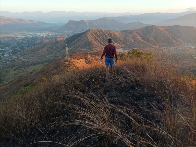
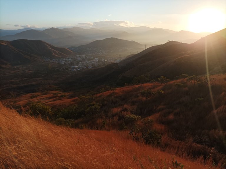
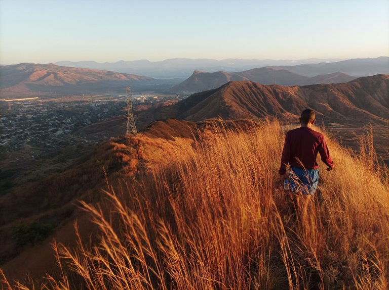
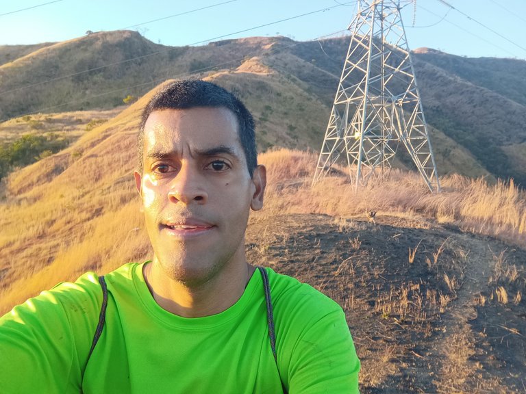
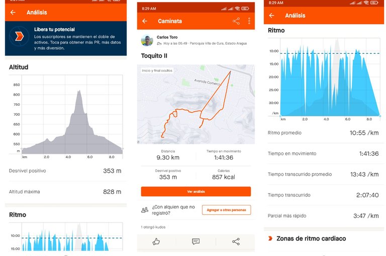
Así mismo pasamos por la comunidad del Toquito, y continuamos bajando para llegar al centro de la comunidad, luego llegamos al punto de salida con un tiempo final de 2 horas 7 minutos y 40 segundos, una altura de 828 metros, ritmo promedio de 10:55 por Km, y una distancia final de 9.30 K, desnivel positivo de 353 metros. Después que terminamos el entrenamiento me quedó la franela y las manos llena de carbón, debido a la quema de los arbustos, este fue un recorrido bastante accidentado. En una próxima oportunidad intentaré subir nuevamente para conocer esa parte de la montaña, pero tiene que ser un poco más tarde, para poder ver mejor por donde subir sin ningún inconveniente.
Likewise, we passed through the community of Toquito, and continued descending to reach the center of the community, then we arrived at the starting point with a final time of 2 hours 7 minutes and 40 seconds, a height of 828 meters, average pace of 10: 55 per km, and a final distance of 9.30 K, positive gradient of 353 meters. After we finished the training my flannel and hands were full of charcoal, due to the burning of the bushes, this was a quite rugged route. On the next opportunity I will try to go up again to see that part of the mountain, but it has to be a little later, so I can better see where to go up without any inconvenience.
Espero que les haya gustado este entrenamiento de caminata de montaña, nos vemos en el próximo.
I hope you liked this mountain walking training, see you in the next one.
Fotografías: Teléfono Redmi Note 10
Portada realizada en la APP GridArt
Logos utilizados de Hive y de fulldeportes
Traductor utilizado: Traductor de Google
Photos: Redmi Note 10 Phone
Cover made in the GridArt APP
Used logos of Hive and fulldeportes
Translator used: Translator used: Google Translate

Vote la-colmena for witness By @ylich

Hola @cetb2008,
Te he visto en varias ocasiones en el cerro, espero acompañarte pronto.
Saludos amigo, que bueno así, somos más, gracias por tu comentario.
https://reddit.com/r/blogs/comments/1adgsjn/entrenamiento_de_caminata_de_montaña_el_toquito_ii/
The rewards earned on this comment will go directly to the people( @cetb2008 ) sharing the post on Reddit as long as they are registered with @poshtoken. Sign up at https://hiveposh.com.
Amigo felicidades por aventurte a las montañas, yo he querido hace algún tiempo visitar las de mi localidad, pero no me quiero dar esa aventura sola, hay animales salvajes y uno no sabe que pueda pasar, quizás si consigo compañero, me decida de una.
Me encanta esa vista desde la montaña, es vida. Gracias por compartirla, saludos vamos por más recorridos
Hola amiga, que peligro subir esas montañas, por acá lo único que he conseguido es conejos, picure y vacas, gracias por tu comentario.
Así es amigo, mejor me quedo con las ganas, saludos
Grandioso y agotador este recorrido amigo.
Saludos amigo, si es fuerte, pero lo disfrute mucho, gracias por tu comentario.
Hola amigo, la verdad fue una buena caminata, el lugar en hermoso al igual que los fotos que nos compartes.
Un saludo para tí 👋🤗
Hola, que bueno te gusto las fotografías, saludos.
Saludos @cetb2008 primero que nada que paisajes el de los valles del estado Aragua, y eso que estamos en sequía, en invierno se deben ver espectaculares!!! Oye 9 km de montaña en menos de 2 horas uff eso es nivel, espero pronto poder hacer lo mismo, voy de poco a poco retomando actividad física.
Saludos amigo, bueno poco a poco, con los entrenamiento lo puedes lograr, agradecido por tu comentario.