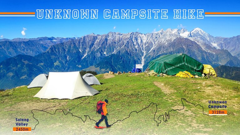
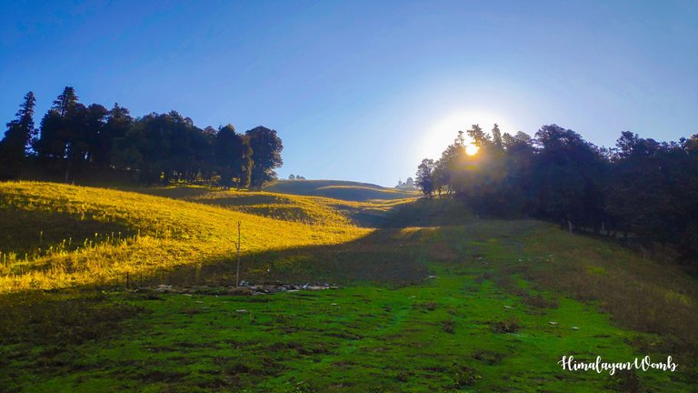
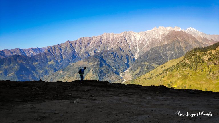
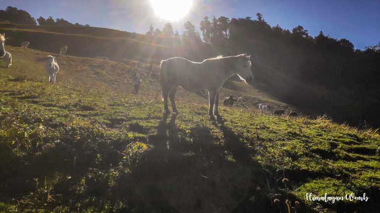
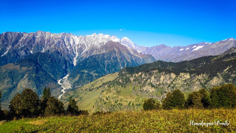
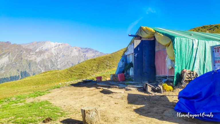
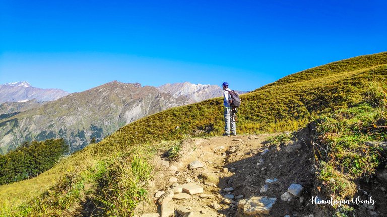
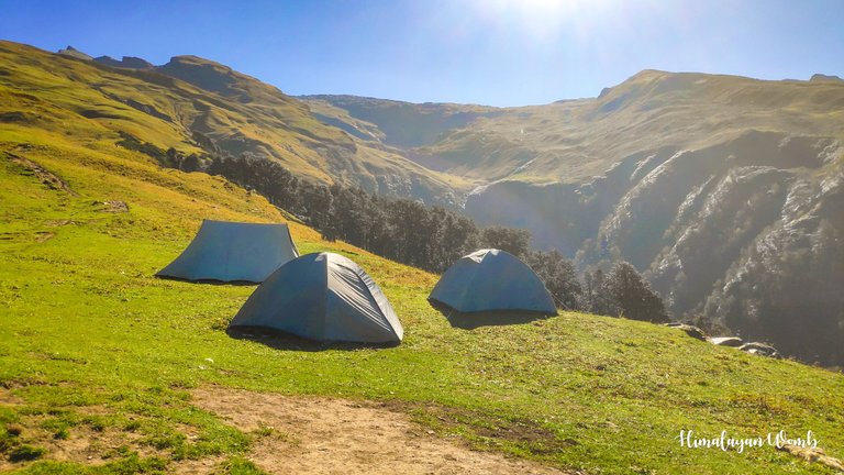
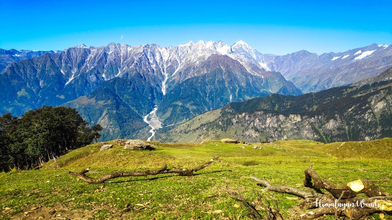
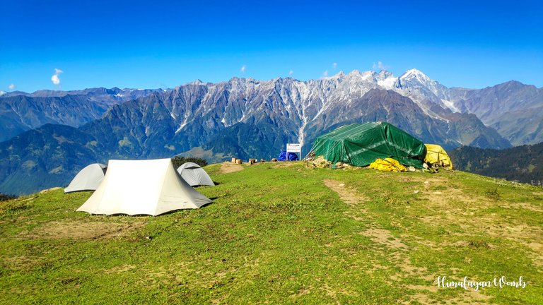
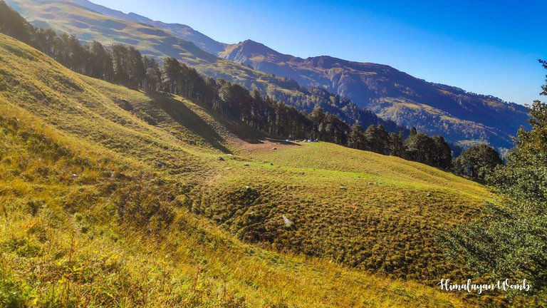
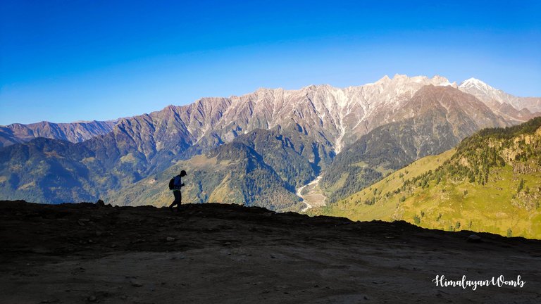
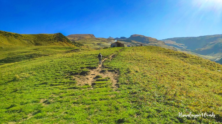
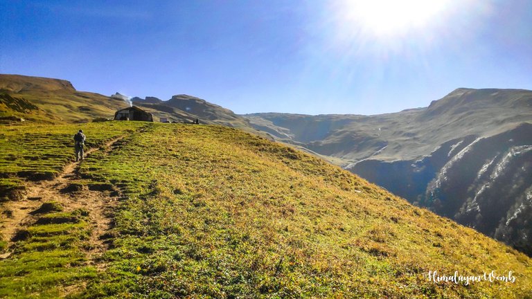
An unknown Himalayan camping site from where we saw 6069 meter high mountains
A new morning means going to a new place to explore. In the last few days I have visited Mount Patalsu Summit, Anjani Mahadev Temple, Vashishtha Temple, Death Climb, Mori Dug and British Bridge. In these days we did a recce of the route for the trail running event and marked the route for the runners. Today we are going to a new segment to see the route. Recce of the route is very important in the mountains because every year due to landslides the trail gets buried under debris on which we have to make or find a new trail.
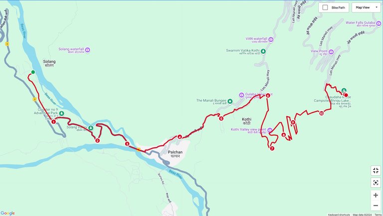
After having breakfast at 7 am and packing the necessary things for our day in a small bag, we leave Solang Valley by around 8 am. Our route for today will start from Solang Valley, moving ahead we will reach Kothi village from where we will reach 14 turns while walking in the forest. Beyond 14 turns the road goes to Rohtang Pass while if we keep climbing above 14 turns we will reach Bhrigu Lake. And today we will go to a campsite located before Bhrigu lake.
Walking in the mountains gives a unique pleasure and I set out to live this pleasure. I and my friend Ved have set out towards our destination today. Starting from Solang, we reach the Manali-Leh highway directly from where the travellers can cross Rohtang pass and go to Lahaul-Spiti and Leh-Ladakh. Walking a little fast, we leave the road at Kothi and come on the trail from where the entire route ahead is uphill.
We are walking on the British time trail from Kothi, pine and deodar forests have started and the chirping of the birds sitting on the trees is echoing in the ears like a sweet music. After the next 3 km, we cross a large landside zone and come on the '14 turn' road. The height of '14 Mod' is 3000 meters, from here Hanuman Tibba, Friendship, Khampri Tibba and Patalsu Peak are visible. Seeing this pleasant weather, I feel that everything is fine, only our speed is very slow.
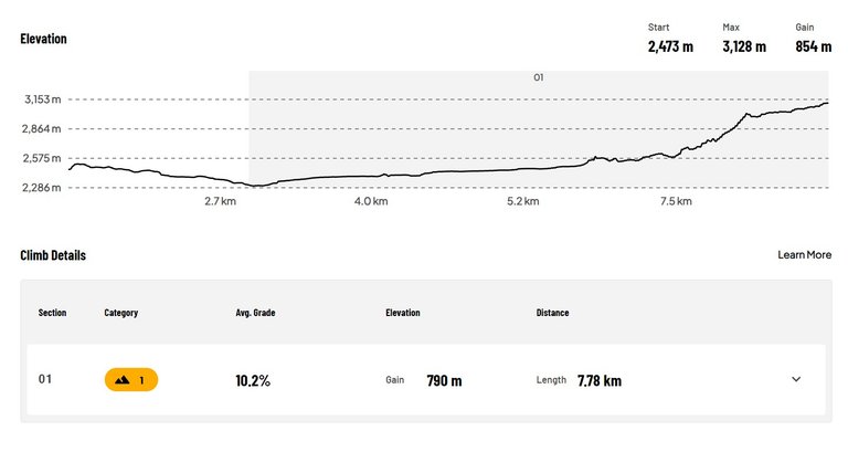
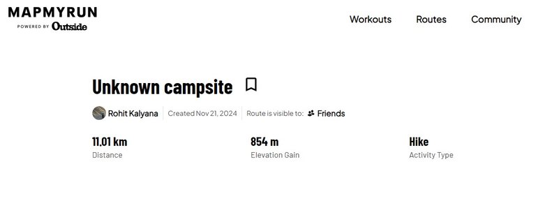
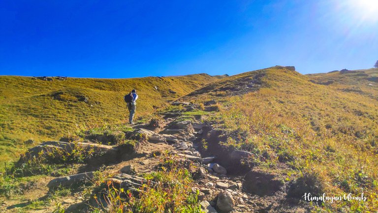
From '14 Mod' the trail leaves the road and now turns towards Bhrigu mountain, we have also started walking on this wall-like trail. Walking from here will take us to Bhrigu Lake located about 9 km away, where the height is 4250 meters. The target is very far and the speed of both of us is very slow. It has been 4 hours since we started walking and till now we have covered a distance of 9 km.
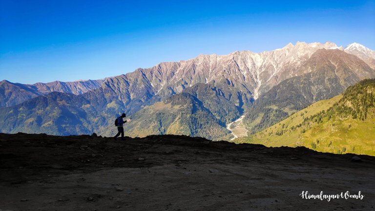
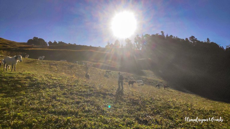
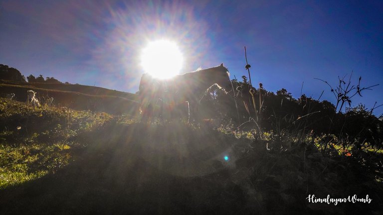
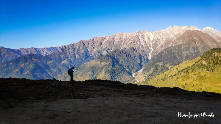
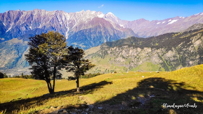
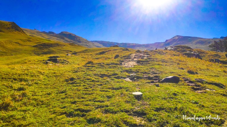
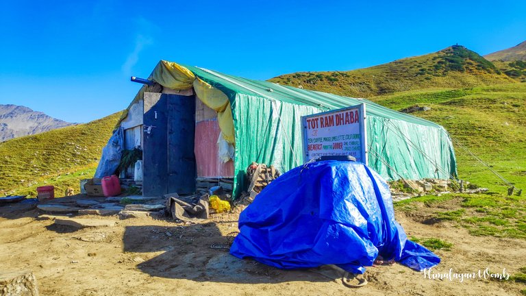
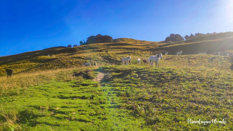
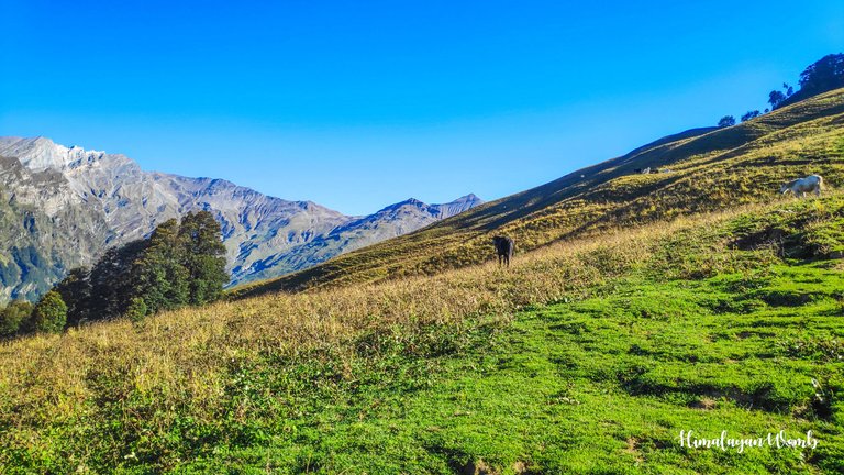
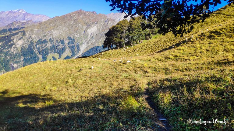
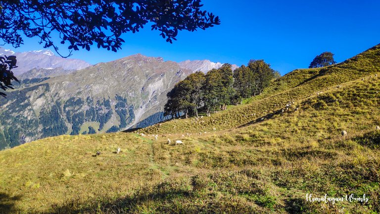
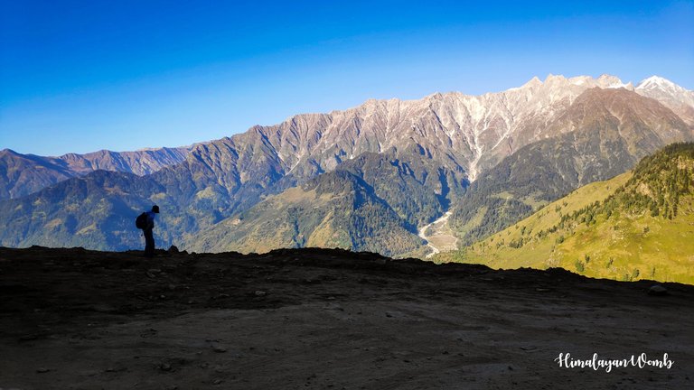
After the next two km, there is a tea stall in the grassland, the height here is 3128 meters. I do not know the name of this place but a very beautiful view is visible from here. 11 high mountain peaks are visible from here. The weather here is so pleasant that I can't even describe it. Where we stopped here only for tea break, the beauty of this place surrounded us in such a way that we kept sitting there.
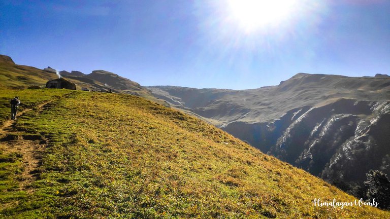
The name of this shop is "Tot Ram Dhaba" where hikers will get a camp to stay which also has sleeping bags. Food, water and toilets are also available here. Meaning, it is a perfect location for camping from where the priceless view of mountains, sunset and sunrise can be seen.
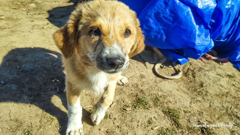
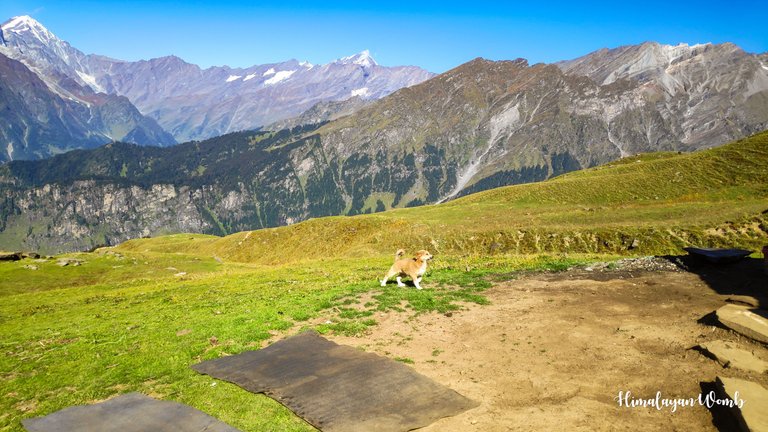
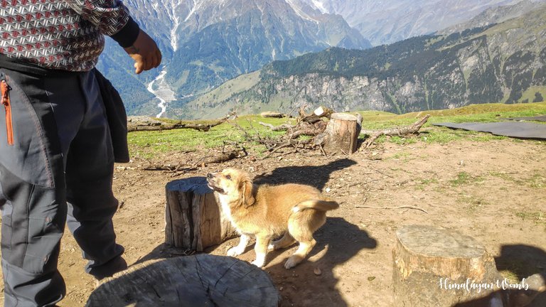
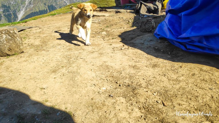
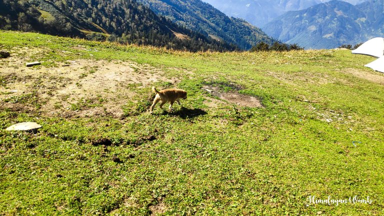
There is a small dog here whose name I have forgotten now, this dog is so naughty that it has won our heart. This nameless puppy is running here and there and wants us to love it, we love it by getting immersed in its cuteness. I don't know how many hours we spend here forgetting that we have to go on a long journey. Well, that's all for today, we will meet again in the next post where I will take you to the next stage of this journey.
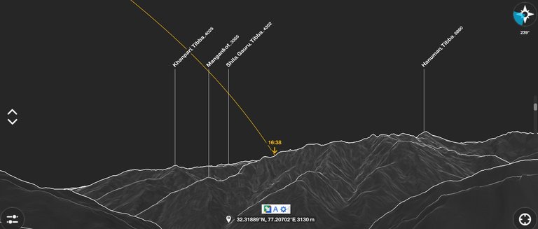
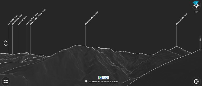
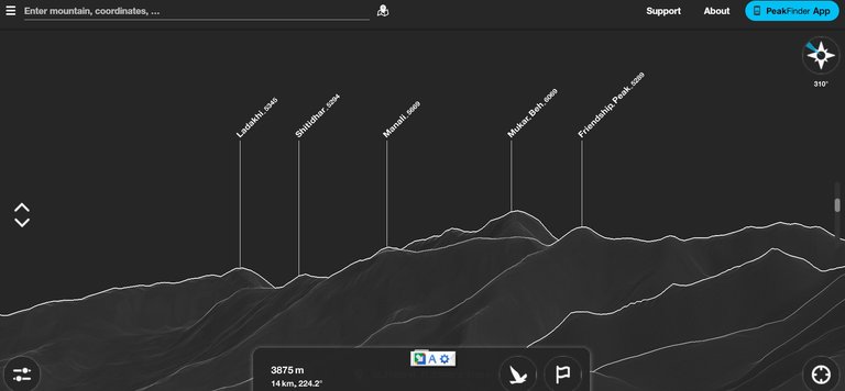
Disclaimer: This post is originally written in Hindi and I have used Google Translator to translate the Hindi text in English. All the photos have been clicked by me from POCO F1 android smartphone and edited in deskstop software adobe lightroom. Thumbnail created in dekstop photoshop app.route screenshop taken from route map and peakfinder.com
You can check out this post and your own profile on the map. Be part of the Worldmappin Community and join our Discord Channel to get in touch with other travelers, ask questions or just be updated on our latest features.
काफी समय से घूमने का नहीं बन पाया आपकी फोटो देख कर दिल खुश हो गया याद आ गई अपनी सफर की😍😍
This post has been manually curated by @steemflow from Indiaunited community. Join us on our Discord Server.
Do you know that you can earn a passive income by delegating to @indiaunited. We share more than 100 % of the curation rewards with the delegators in the form of IUC tokens. HP delegators and IUC token holders also get upto 20% additional vote weight.
Here are some handy links for delegations: 100HP, 250HP, 500HP, 1000HP.
100% of the rewards from this comment goes to the curator for their manual curation efforts. Please encourage the curator @steemflow by upvoting this comment and support the community by voting the posts made by @indiaunited.
Wow! Such wonderful pictures
Hiya, @lauramica here, just swinging by to let you know that this post made it into our Honorable Mentions in Travel Digest #2386.
Your post has been manually curated by the @worldmappin team. If you like what we're doing, please drop by to check out all the rest of today's great posts and consider supporting other authors like yourself and us so we can keep the project going!
Become part of our travel community: