Mt. Talamitam - the beginner's hike
It was a D-I-Y hike. We hired a van to get us to the jump-off point, contacted a tour guide to get us safely to the summit, and then made a side trip to Tagaytay for lunch.
We met at 2 am in Makati on a Saturday. Then we left at 3 am bound for Nasugbu, Batangas. The initial plan was to have lomi for breakfast before we head off to the jump-off point. However, when we arrived, it was still a bit early. They only have sopas and pares to offer. It was good enough for us since it was cold when we got there. Something hot and filling to fuel us for the climb is our main goal. After we ate, our guide told us that the hike will start at 6 am. We were actually hoping to catch the sunrise. But then plans changed. We utilized the time to take a nap.
At exactly 6 am, our group of 22 members with 2 tour guides started our journey to the summit of Mt. Talamitam.
Mt. Talamitam is located in Nasugbu, Batangas. It has a height of 630 meters above sea level and offers a scenic view of the surrounding mountains and valleys.
The hike to the summit of Mt. Talamitam usually takes around 2-3 hours depending on the pace and fitness level of the hiker. The trail is generally easy to moderate with some steep and rocky sections.
Most of us are first-time hikers so it took us longer than the expected hiking hours to get to and from the summit.
Before the jump-off point, we passed by the registration area to list our names and paid P20.00. The way to the summit is privately owned thus the fee.
So off we go.
The first challenge for the group is passing through a bridge made of bamboo. Only one person can pass at a time due to the oldness of the bridge.
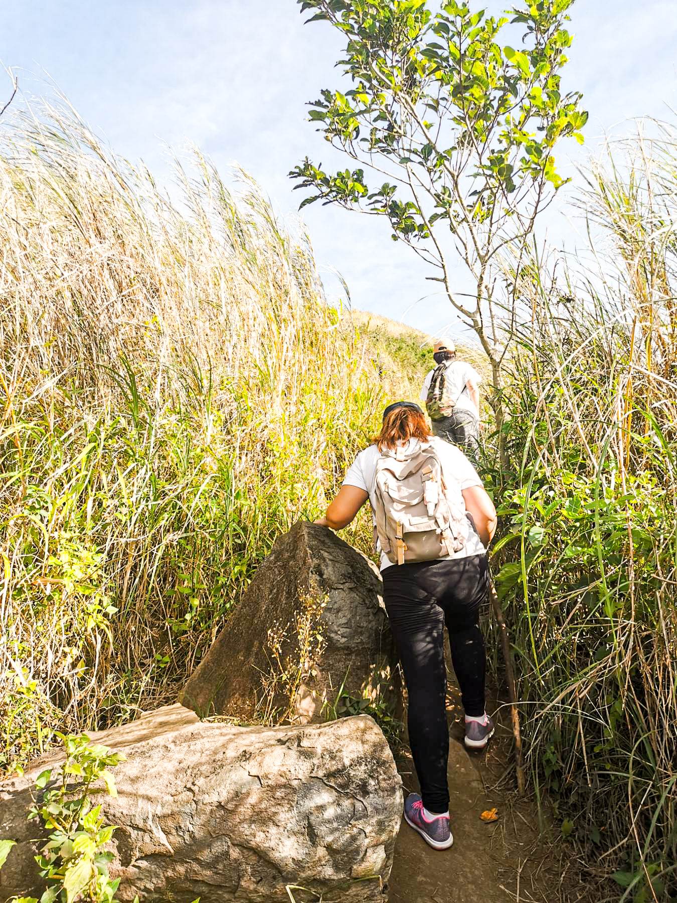
After that, we had to climb a rocky section. I heard some of the new hikers rants and questioning why did they ever join the hike. haha But after that, it was a fairly moderate route.
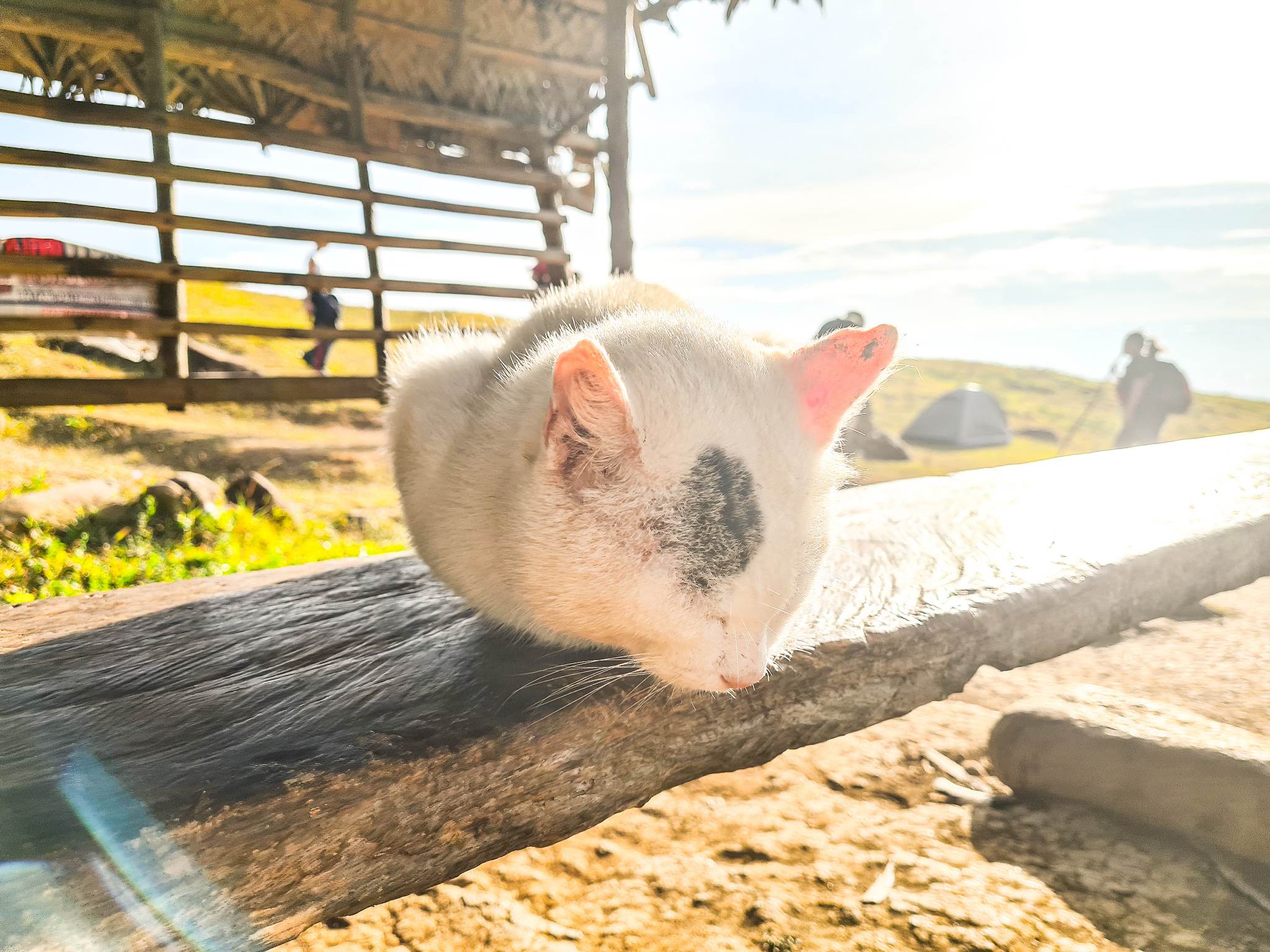
There are a lot of cats and dogs that we saw during the hike. And this cutie sleeping in the break area is such a mood so I took a photo of it. You can see in the background a tent. This is the area where hikers can pitch their tent and stay overnight. It would have been fun to stargaze at night.
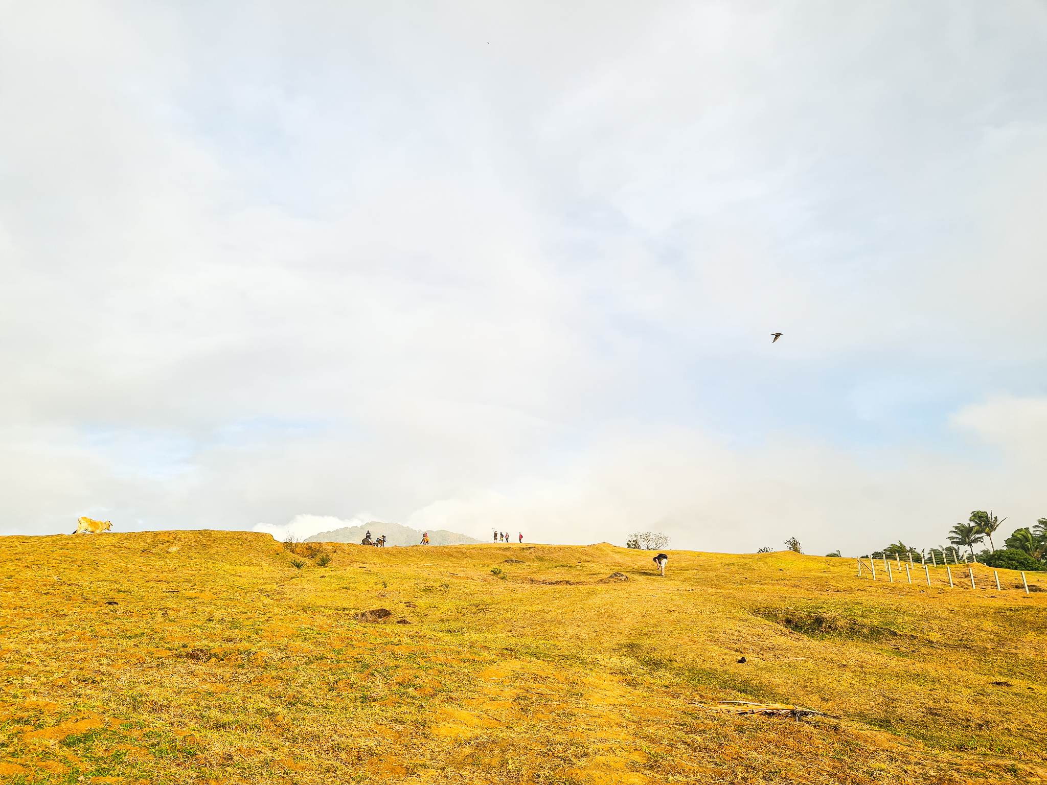
Below picture is a steep route to the summit. It was scorching hot when we started our ascent. But it was compensated with a stunning view of the valley and mountains nearby. We also saw wild berries along the way.
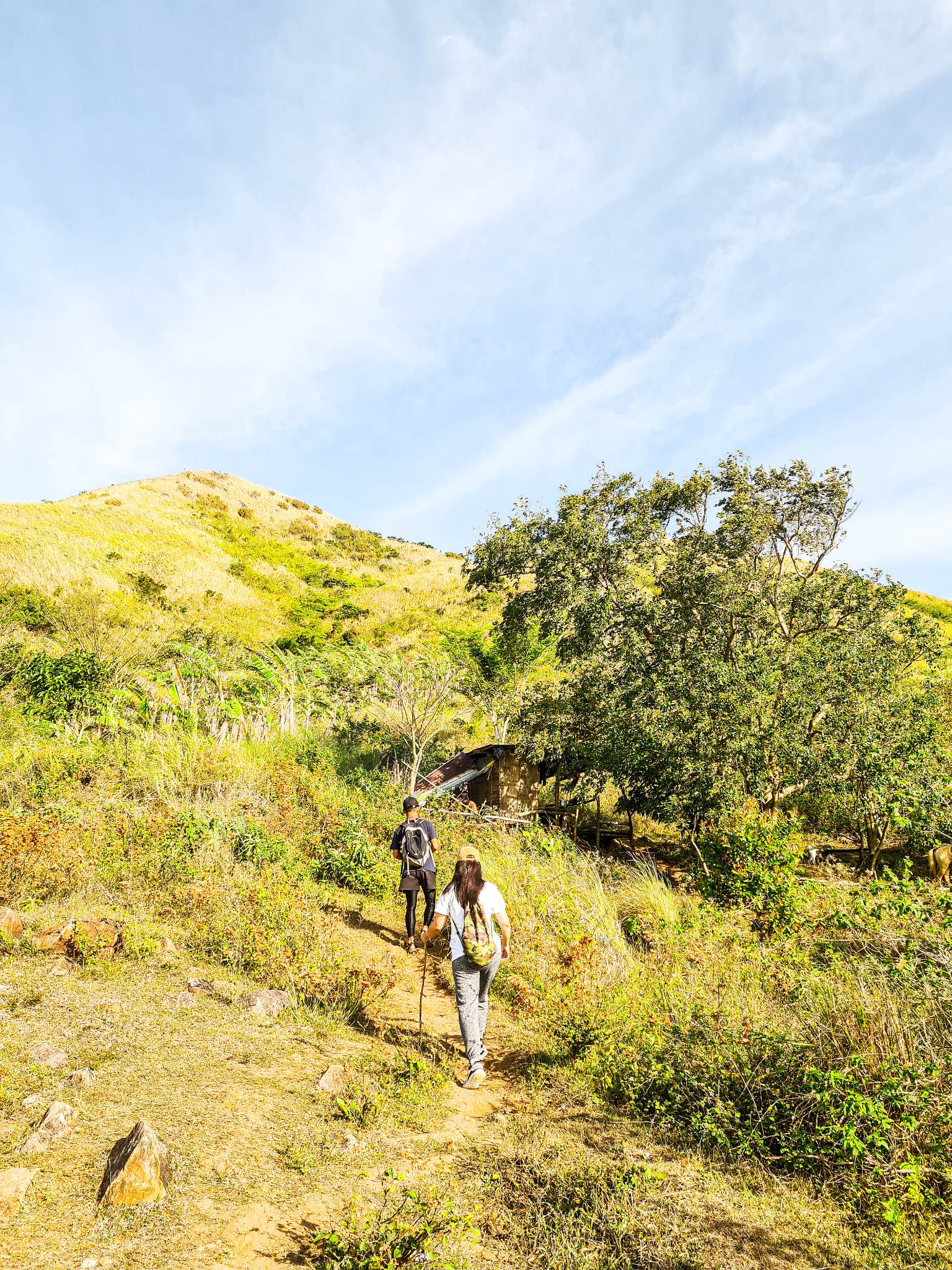
The man in black is one our tour guides. The other one is at the back, the sweeper. He is the one in charge of sweeping, or the one responsible in making sure that one gets left behind.
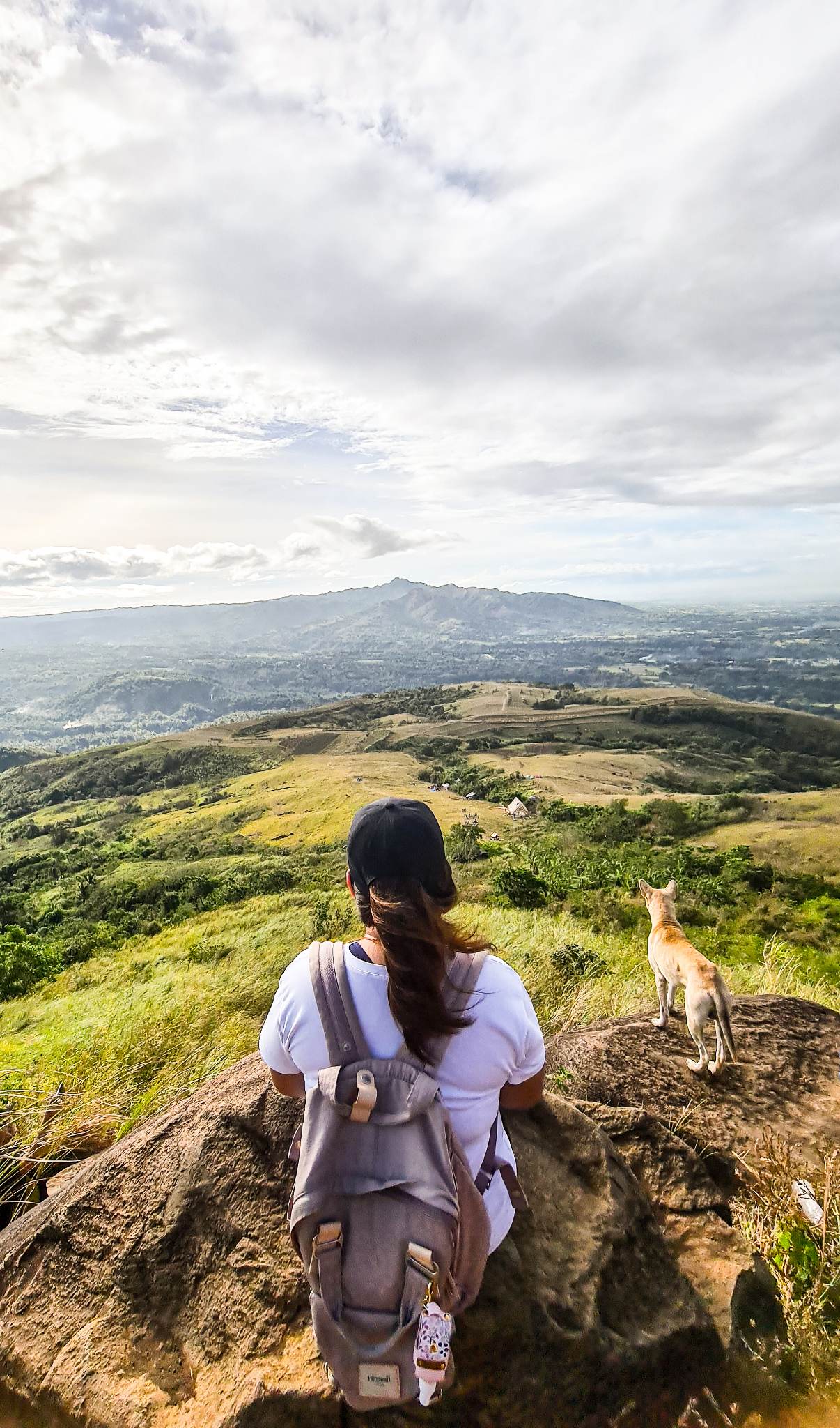
We stopped at this point to take a break before the last leg, which is the summit. The mountain in front is Mt. Batulao, another beginner's mountain hike in Nasugbu. We went there before pandemic. The dog beside me is the dog of our tour guide who joined us during our hike. His name is shadow. He is very sweet and a good guide as well.
A different view of Mt. Batulao. The sun has yet to rise.
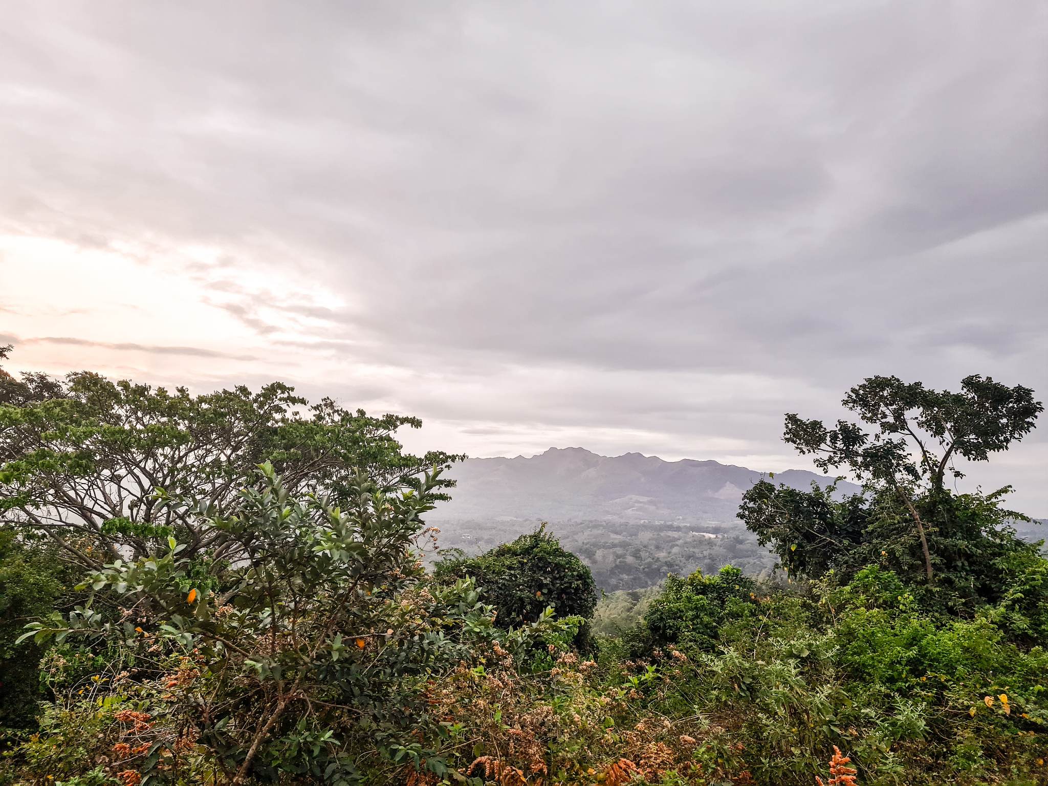
Photo take by our tour guide.
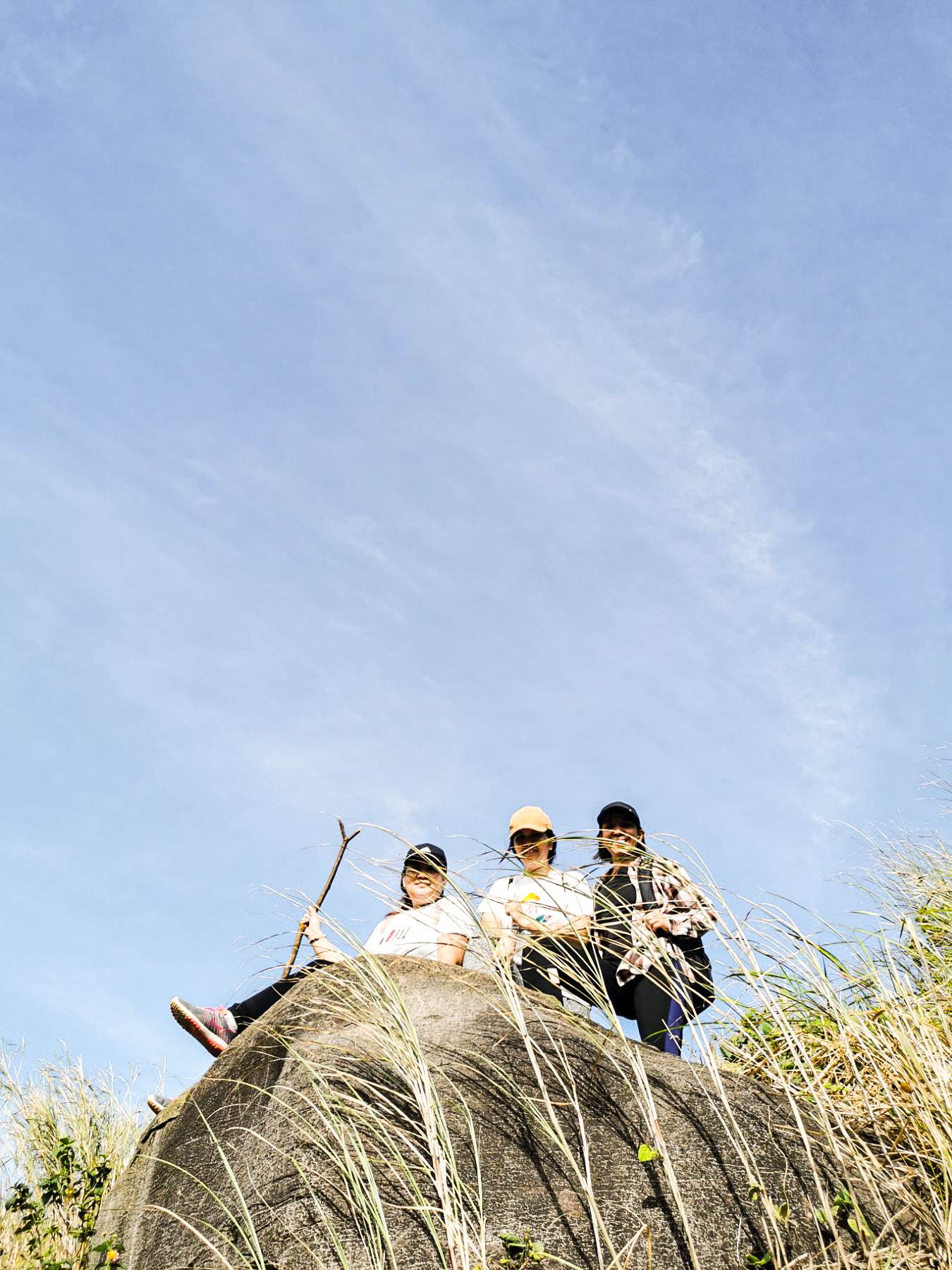
Yup! we took a lot of photo from this rock. And the view is stunning that we took time to enjoy and savor the fresh air.
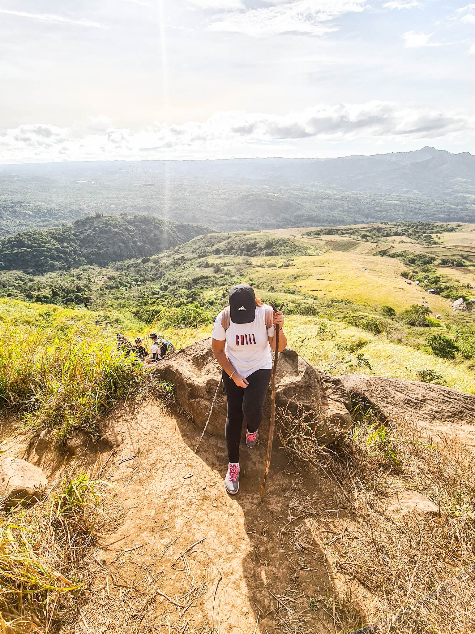
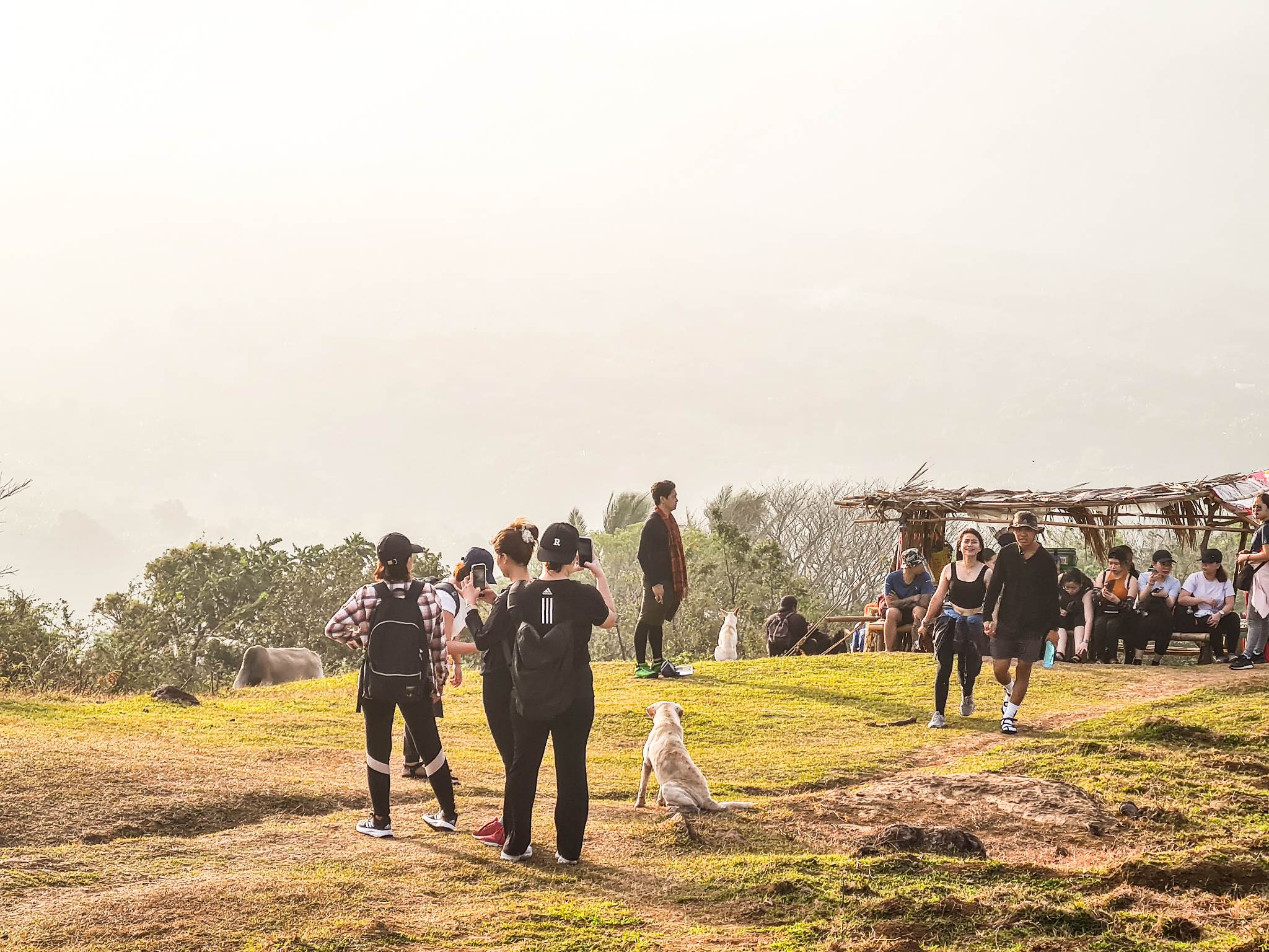
One of the resting point also. There were vendors who sell goods like barbecues, drinks, biscuits etc.
At this point, our tour guide pointed at the mountain above as the summit. I could not believe him at first because it was too far and too high. I thought that with our pace, we will only be able to reach it by noon or late in the afternoon.
Thankfully, we were able to reach the summit before lunch. The best thing about reaching the summit is there is a store that sell hao-halo, a Filipino dessert. It is a cold, sweet, and colorful treat that is usually made up of shaved ice, evaporated milk, and a variety of ingredients such as sweet beans, fruits, jellies etc.
After we took a few photos, we started our descent because it was really getting hot already.
The total experience was super worth it. I got to enjoy nature again. Most importantly, I got to recharge.
I would love to join them again in their next hiking adventure if time permits.
Congratulations, your post has been added to Pinmapple! 🎉🥳🍍
Did you know you have your own profile map?
And every post has their own map too!
Want to have your post on the map too?
Congratulations @wandersells! You have completed the following achievement on the Hive blockchain And have been rewarded with New badge(s)
Your next target is to reach 3750 upvotes.
You can view your badges on your board and compare yourself to others in the Ranking
If you no longer want to receive notifications, reply to this comment with the word
STOPCheck out our last posts:
Support the HiveBuzz project. Vote for our proposal!
Hiya, @LivingUKTaiwan here, just swinging by to let you know that this post made it into our Honorable Mentions in Daily Travel Digest #1822.
Your post has been manually curated by the @pinmapple team. If you like what we're doing, please drop by to check out all the rest of today's great posts and consider supporting other authors like yourself and us so we can keep the project going!
Become part of our travel community:
Buti at dami din iba hikers jan.
Mganda din ihike yung kabilang bundok hehe
Ang dami nung time na pumunta kami. May camping site din kasi sa baba ng summit kaya madami naakyat. 😊
Wow the place is so relaxing. Nature lover will surely love to explore to this place and go for a hike because of its amazing view.
Glad you enjoy the mountains here sa Batangas! Next naman Mt. Malarayat hahaha lapit lang sa amin 😊
Ahhh~ I miss hiking!! Beautiful view~
A sweet treat for climbing up to the summit! 😍
!PIZZA
Lovely place to hike. I don't think I could do that anymore since I am out of shape 😄