Hurricane Barrier walls
Hurricane Barrier walls
Good Morning everyone Have a great day
for those that follow me they will know one thing I am fascinated by since I moved here to New Bedford is the Hurricane Barrier walls and the walk ways they have added on top of them, the Harbor Walk and Cove walk, which I have walked on many times.
For this post that is what I will focus on some shots of the Hurricane barrier walls
Starting with this shot Looking at one end of the wall you may be able to make out a fence on the top of the wall which is part of the Harbor Walk walking trail
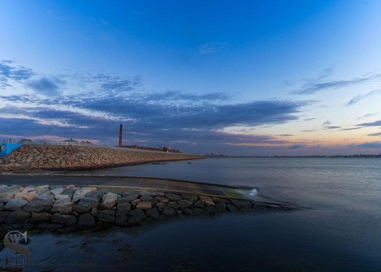
Sony A7iv 17mm F11 1/8 Sec ISO 100
Click here to view larger
The Harbor walk was Opened in 2015, and is 3,880 feet long and tops New Bedford’s hurricane barrier on the east side of the city’s southern peninsula.
The other walk is the cove walk which opened in 2017 and is 5,500 feet long, and is lit at night making walking there anytime quite pleasant.
The Hurricane barriers themselves are a lot older construction started in 1962 and were dedicated in 1966, from what I understand the hurricane barrier remains the largest manmade structure on the east coast of the United States and provides security for industries, the fishing fleet, and hundreds of homes in residential neighborhoods
It cost $1,000 a foot, is long enough to span the 3.5 mile width of New Bedford, is as high (and wider ) than The Great Wall of China, and has enough steel in it to build a Navy destroyer.
Its two huge steel navigational-sector gates weigh 400 tons apiece-each 35 tons heavier than the biggest locomotive ever built-and each as tall as a six-story house. When the gates swing shut at the touch of a button to lock out devastating storm tides, they create a pond inside the barrier which could cover 6,500 acres of land with a foot of water. They keep out much more of course.
At the other end of the Harbor walk you can look over as it heads out to Meet the wall that comes from the Fairhaven side.
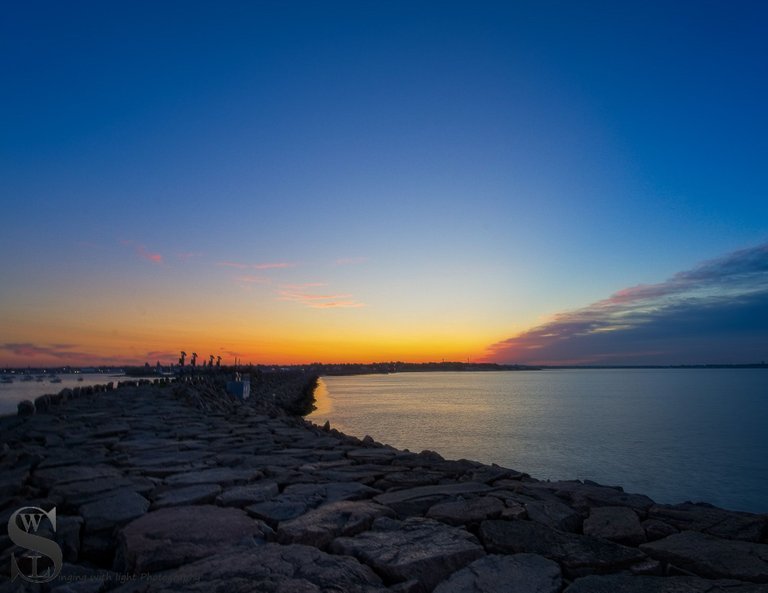
Sony A7iv 17mm F11 1/4 Sec ISO 100
Click here to view larger
And you can walk along the side of the wall on this path which takes one out to Palmers Island
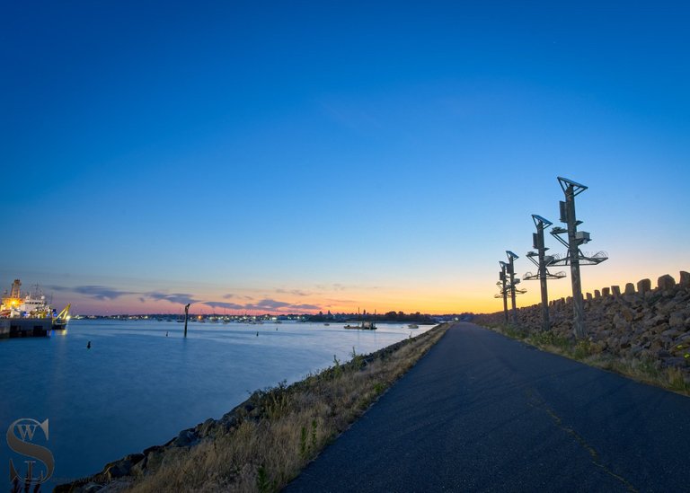
Sony A7iv 20mm F11 5 Sec ISO 100
Click here to view larger
and Since i mentioned the walking path I had to include on shot on it
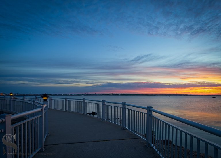
Sony A7iv 17mm F11 1/4 Sec ISO 100
Click here to view larger
and a Similar shot to the first one on a different day
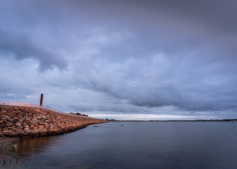
Sony A7iv 17mm F8 1/5 Sec ISO 100
Click here to view larger
And that’s all folks
unless stated otherwise all photos used in my posts are taken and owned by myself, if you wish to use any of my images please contact me.


TeamUSA is a Community for and supporting those from of in the United States, and now is in the process of rebuilding stronger than ever join us on Discord
!pinmapple 41.622616 lat -70.910227 long Hurricane Barrier New Bedford MA d3scr
Beautiful Coast !PIMP
You must be killin' it out here!
@biglove just slapped you with 30.000 PIMP, @tattoodjay.
You earned 30.000 PIMP for the strong hand.
They're getting a workout and slapped 5/5 possible people today.
Read about some PIMP Shit or Look for the PIMP District
thanks
have a good day
Is that a boat launch there in the first photo? It kind of looks like it, but I wasn't sure if maybe the water level was just up or something. These are pretty cool structures. Hard to believe that something so simple can make such a huge difference!
Well spotted yes that is a boat launch
Congratulations @tattoodjay! You have completed the following achievement on the Hive blockchain And have been rewarded with New badge(s)
Your next target is to reach 590000 upvotes.
You can view your badges on your board and compare yourself to others in the Ranking
If you no longer want to receive notifications, reply to this comment with the word
STOPCheck out our last posts:
nice pics
thanks
have a good day
Such a beautiful place captured beautifully.
thanks it is a real nice spot
Amigo gracias por compartir tan lindas gotografias de verdad muy hermosas,saludos desde Venezuela y feliz día💕🌹
Congratulations, your post has been added to Pinmapple! 🎉🥳🍍
Did you know you have your own profile map?
And every post has their own map too!
Want to have your post on the map too?
https://twitter.com/11714722/status/1633080317840969729
The rewards earned on this comment will go directly to the people( @tattoodjay ) sharing the post on Twitter as long as they are registered with @poshtoken. Sign up at https://hiveposh.com.
Stunning... you always seem to capture such "moodiness"... I love it!
Thanks 🙏
The hurricane barrier walls are fantastic!
When was the last time you were hit by a hurricane, @tattoodjay ?
It can be devastating.
!LUV
@tattoodjay, @silversaver888(2/10) sent you LUV. | tools | discord | community | HiveWiki |
  NFT | <>< daily
I think the last Hurricane I experienced was back when I lived in CT, but we have had some pass close by and they have closed up the walls
Ohh yeah they can be devastating, NZ got hit by a Cyclone ( same thing but in the southern hemisphere there called cyclones) just recently and the flooding and damage was incredible, my family inthe area were without power for a week, but lucky in that they did not get flooded
Pics great as usually and that walking path sounds like a great place to go run early in the morning, next to the ocean where air is more pure, although at times could be problematic running if its too windy
Being right by the water it is often windy but that doesnt stop runners I have often seen people running there
Great photos as always and some interesting facts on the wall especially the construction.
Thanks kindly your support is appreciated
Have a great day
It is like a fortress agains the ocean and storms it brings. It is great to add to this a leisure enhancing options when the weather is nice. Great to have an appreciation for the investment and work that went into such a monumental structure. Taller and wider than the Great Wall…man!
Thanks for sharing another walk!
It is such an impressive structure and no doubt has protected the city and the port many time sover the years