Field trip to the Ariguanabo basin area.//Jornada de campo de recorrido por la zona de la cuenca Ariguanabo. (ENG/ESP)
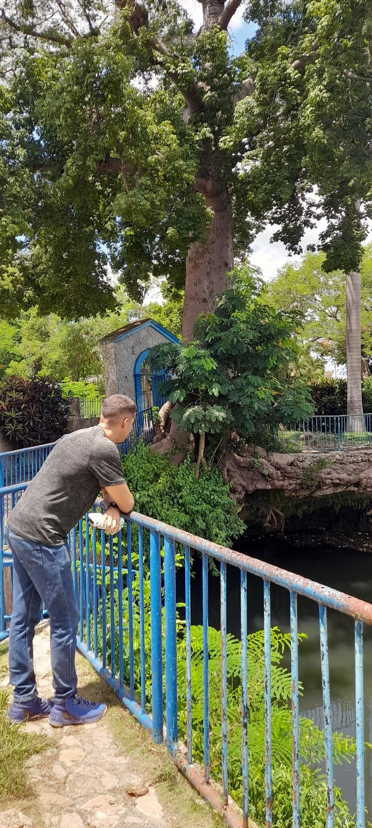
Greetings friends. Last week I had the good fortune to participate with some of my work colleagues in a general reconnaissance tour of areas of the Ariguanabo basin, of great importance as it is a major source of water supply for the province of Artemisa and western Havana, Cuba.
Saludos amigos. La semana pasada tuve la suerte de participar junto a algunos de mis colegas de trabajo en un recorrido general de reconocimiento por áreas de la cuenca Ariguanabo, de suma importancia al ser gran fuente de abasto de la provincia de Artemisa y el oeste de La Habana, en Cuba.
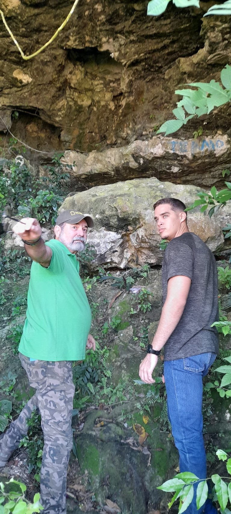
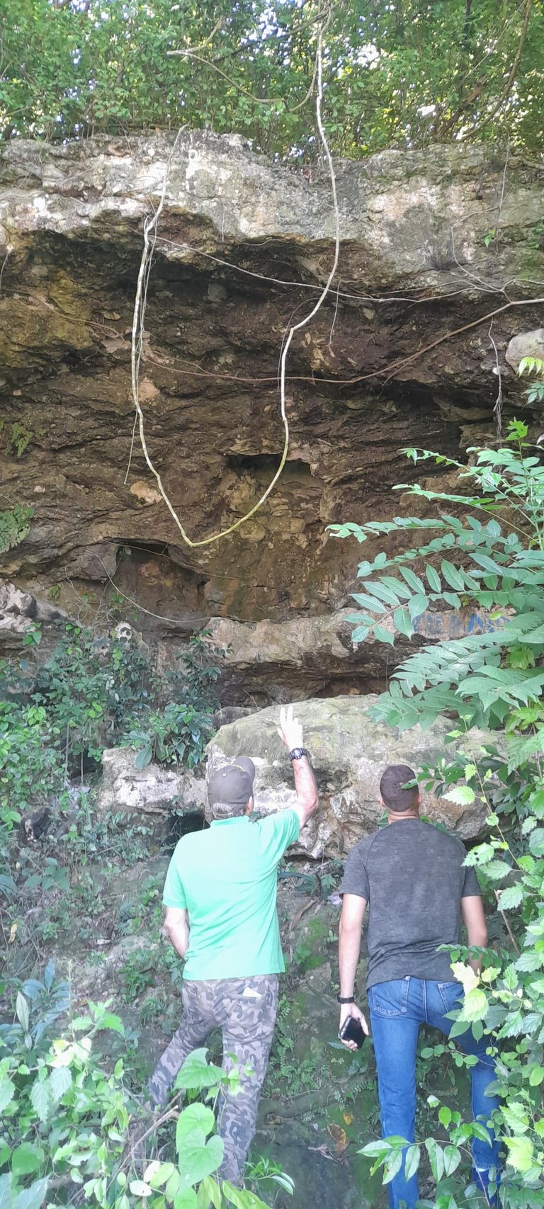
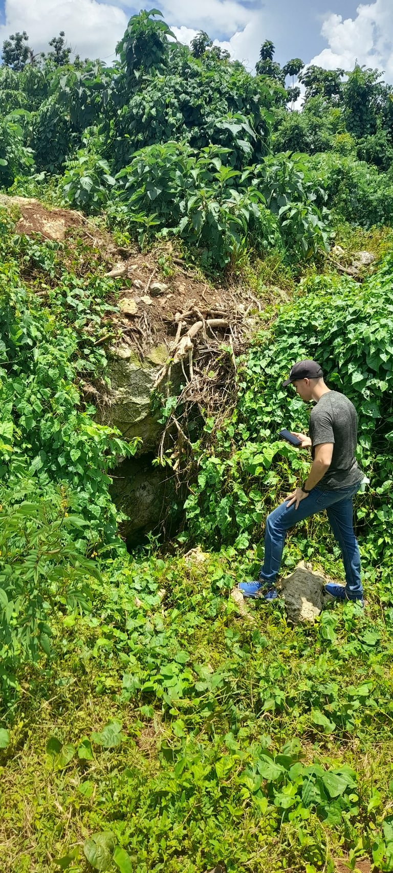
On the route from east to west we made stops to observe important elements within the basin area. The first of these was the Cueva del Farallón, an open cave whose drainage system and subterranean flow tributes to the area. In this cave we were able to observe some aspects related to its morphology and hydrodynamic characteristics, and we were also able to confirm that its roof (where a skylight, a cavity open to the surface, can be seen) is in critical danger of collapse.
En el recorrido hecho de este a oeste hicimos paradas para observación de elementos importantes dentro de la zona de la cuenca. El primero de ellos fue la Cueva del Farallón, una cueva abierta cuyo sistema de drenaje y flujo subterráneo tributa a la zona. En esta cueva pudimos observar algunos aspectos relacionados a su morfología y características hidrodinámicas, y pudimos constatar además de que su techo (en dónde se aprecia una claraboya, una oquedad abierta a la superficie) está en peligro crítico de desplome.
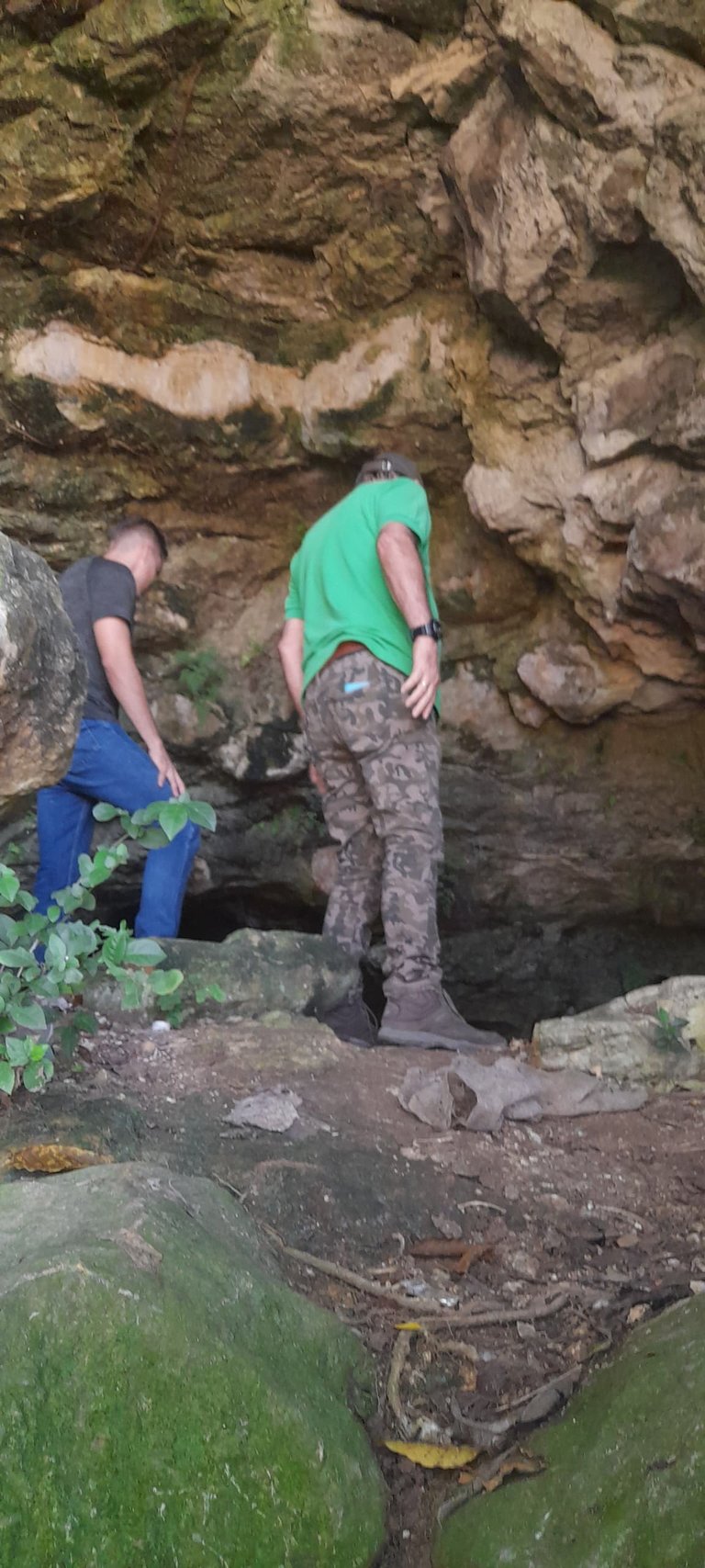
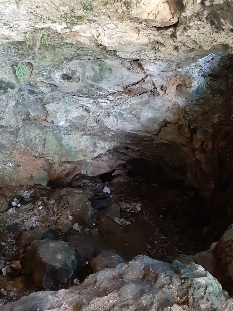
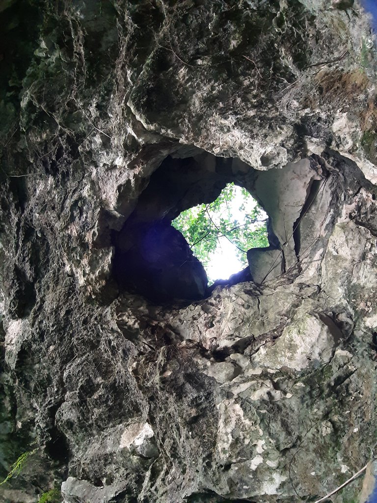
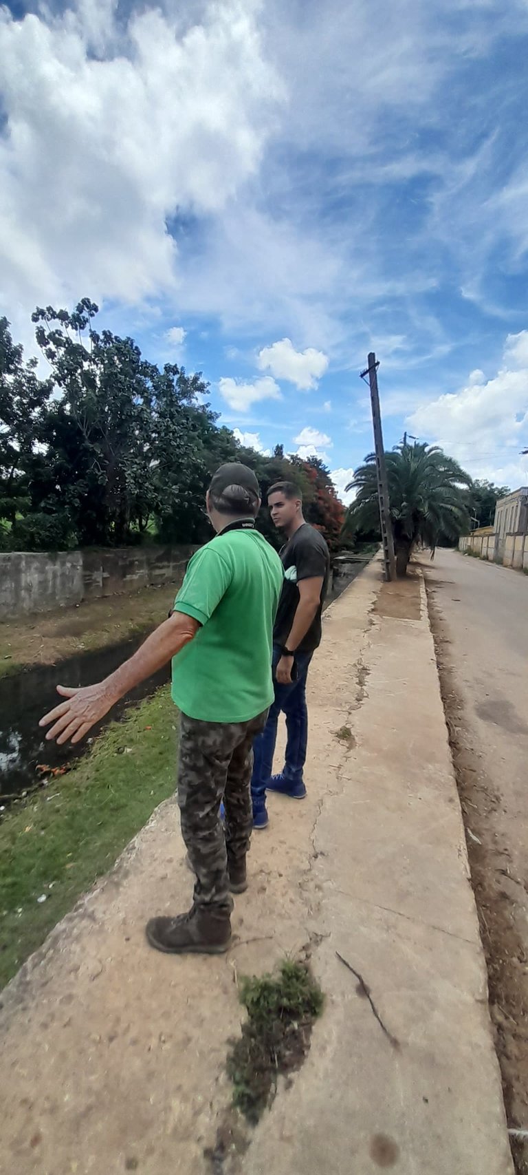
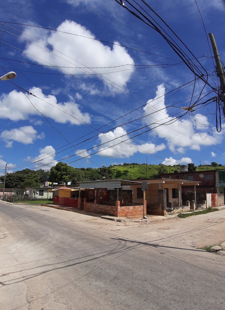
From there, we continued along the road bordering the Bejucal heights, tectonic elevations with extensive regional scarps, which form the eastern boundary of the basin. These elevations arose as a result of uplift due to the activity of major fractures in the terrain with resulting vertical movements.
Desde ahí proseguimos el camino bordeando las alturas de Bejucal, elevaciones tectónicas con escarpas extensas regionales, que conforman el límite oriental de la cuenca. Éstas elevaciones surgieron como resultado del levantamiento por la actividad de fracturas importantes en el terreno con movimientos de resultante vertical.
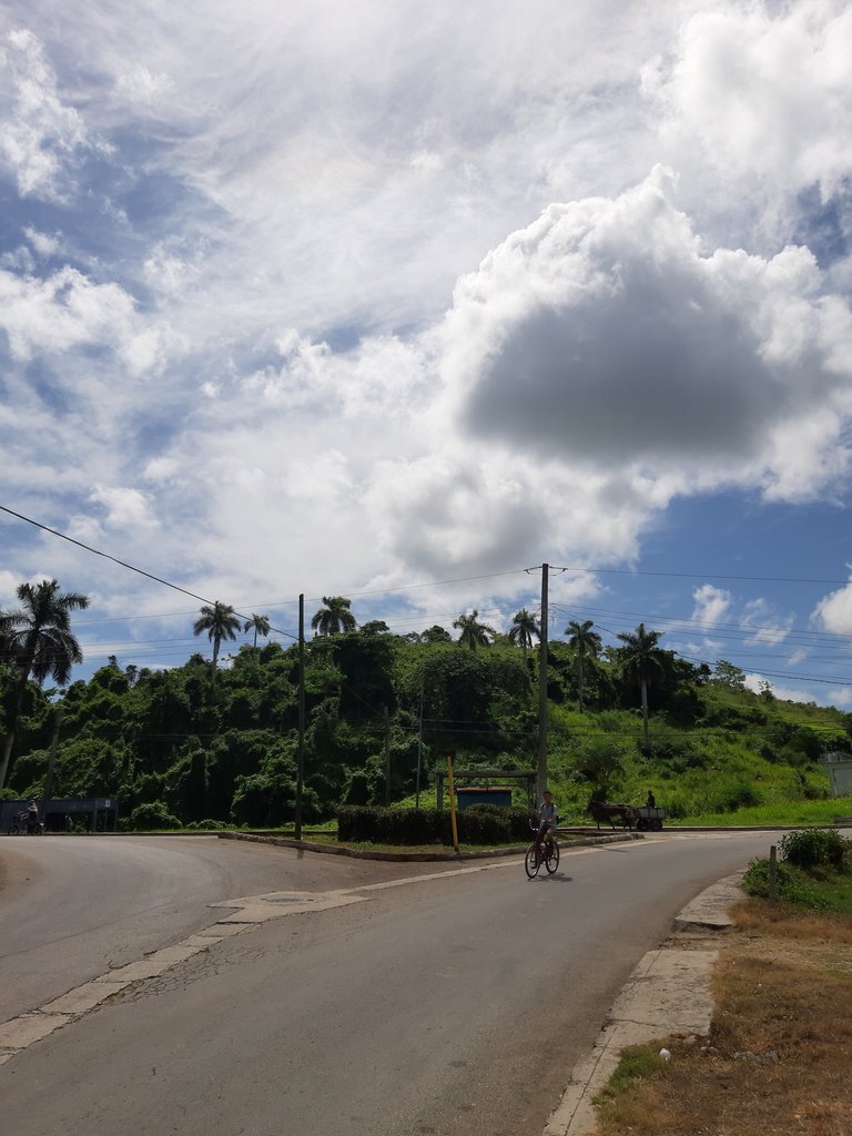
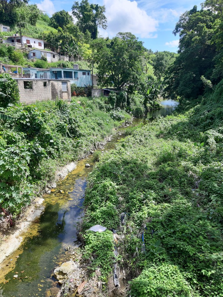
At this site we were also able to observe the course of the Govea River, one of the main rivers in this basin, which flows into the Ariguanabo River. The Govea River in this stretch is not very wide, shallow, and unfortunately it is polluted.
En este sitio además pudimos observar el curso del río Govea, uno de los ríos principales de esta cuenca y que tributa al río Ariguanabo. El río Govea es este tramo es poco ancho, de poca profundidad, y lamentablemente se encuentra contaminado.
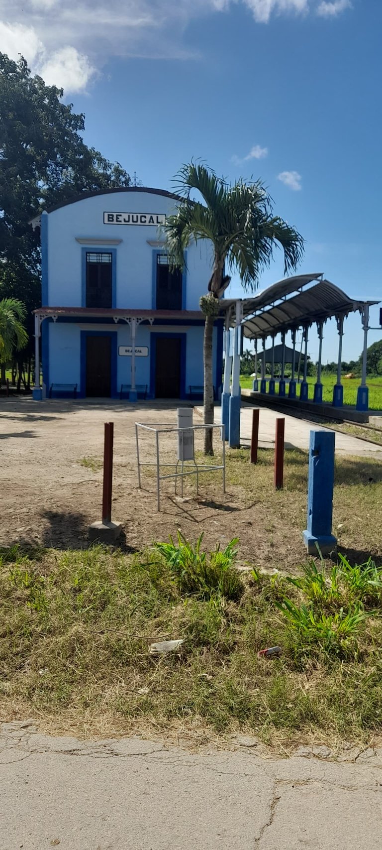
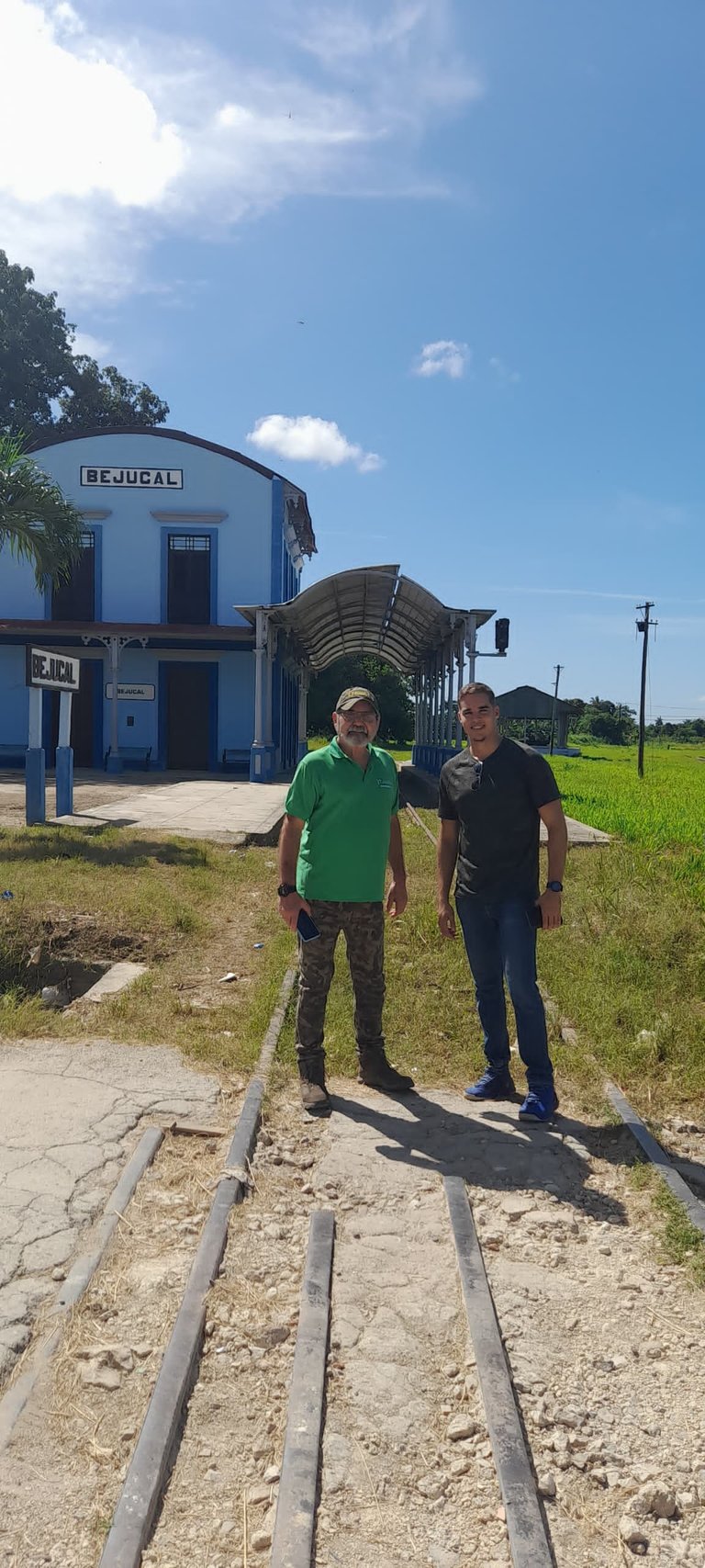
As a remarkable aspect to highlight, although not directly related to the objectives of the work, it is worth mentioning that in this area of Bejucal there are the vestiges of what was the first railroad station in all of Latin America, dating from the 19th century.
Como un aspecto notable a resaltar, aunque no relacionado directamente con los objetivos del trabajo, cabe decir que en esta zona de Bejucal se encuentran los vestigios de la que fue la primera Estación de Ferrocarril de toda América Latina, que data del siglo XIX.
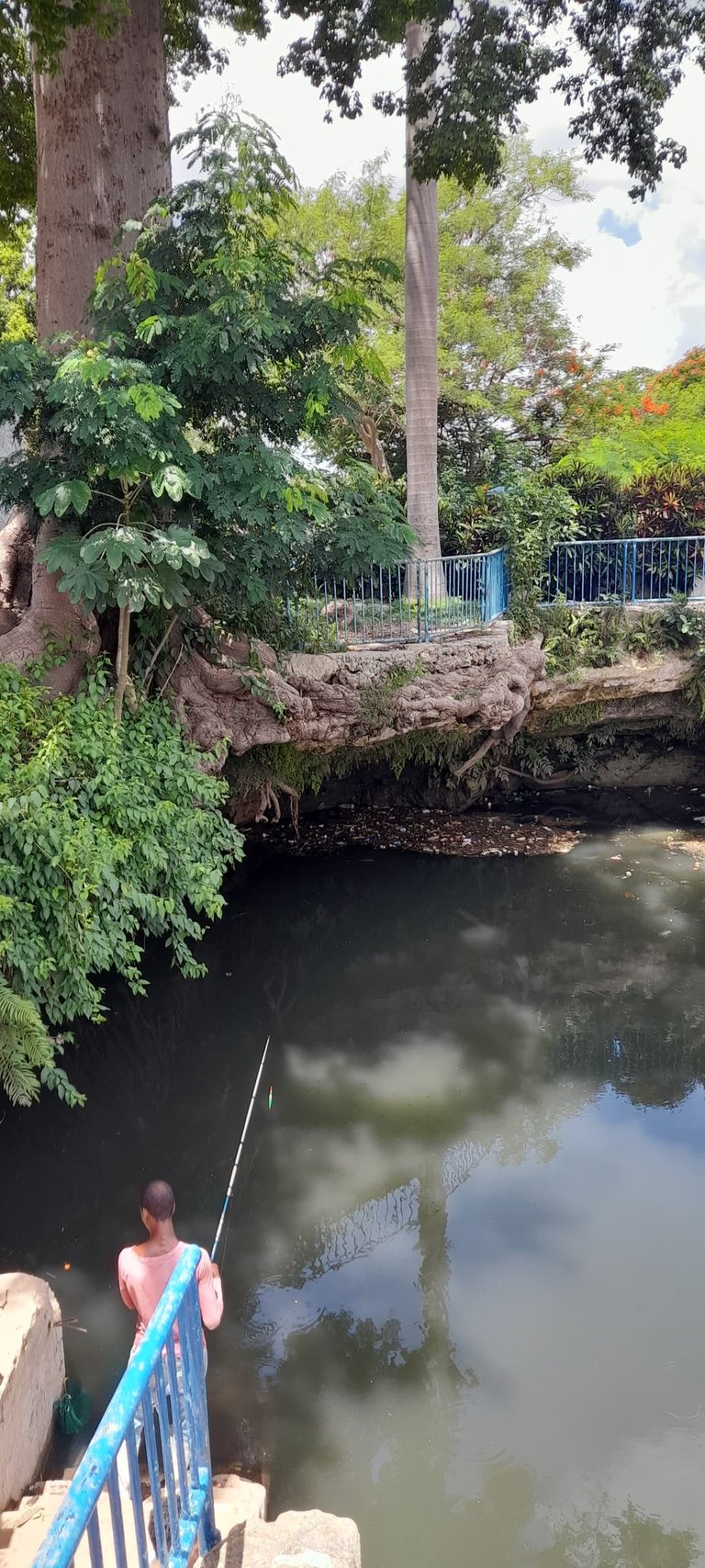
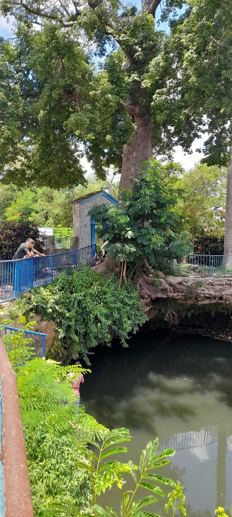
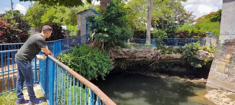
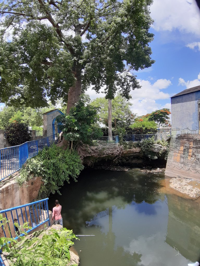
After this stop, we headed towards the town of San Antonio de los Baños, at the southern limit of the watershed. There, for the first time, I was able to observe with my own eyes the Ariguanabo or San Antonio River Sinkhole. This sinkhole is a natural subway cavity through which the river enters a subterranean route until it emerges after many kilometers to the South Basin. It is a very interesting natural formation, in which a superficial river becomes subway. Unfortunately, and very worryingly, the waters of the river are highly polluted, all of which seriously endangers the quality of the waters of the basin.
Luego de esta parada nos dirigimos en dirección al poblado de San Antonio de los Baños, en el límite sur de la cuenca hidrográfica. Ahí, por primera vez, pude observar con mis ojos el Sumidero del río Ariguanabo o San Antonio. Este sumidero es una cavidad natural subterránea por la que el río se introduce en un recorrido subterráneo hasta salir luego de muchos kilómetros a la Cuenca Sur. Es una formación natural muy interesante, en la que un río superficial se convierte en subterráneo. Por desgracia, y muy preocupantemente, las aguas del río se encuentran muy contaminadas, todo lo cual pone en serio peligro la calidad de las aguas de la cuenca.
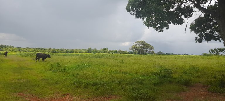
From there we made a last stop in a sector of the southern plain, in the South Basin, outside the limits of Ariguanabo, to observe some natural cavities in the terrain where subway flow systems may have communication with those of the aforementioned basin.
Desde allí hicimos una última parada en un sector de la llanura sur, en la Cuenca Sur, fuera de los límites de Ariguanabo, para observar algunas cavidades naturales en el terreno en las que los sistemas de flujo subterráneo pueden tener comunicación con los de la cuenca ya mencionada.
It was a profitable day in which, in addition to touring and observing the nature and various elements of the area, we were able to take ideas to carry out the necessary research to contribute to the remediation of the environmental problems of the waters of the basin.
Fue una jornada provechosa en la que además de recorrer y observar la naturaleza y diversos elementos de la zona, pudimos tomar ideas para llevar a cabo las investigaciones necesarias para contribuir a la remediación de los problemas ambientales de las aguas de la cuenca.


Congratulations, you received an ecency upvote through the curator @ahmedhayat. Keep spreading love through ecency
Thank you very much for your support!!