McKenzie Pass Summit - Central Oregon Cascades
The road over McKenzie Pass in the Central Oregon Cascades recently opened again after its winter closure. Since it was a beautiful clear day and I only live about 10 miles from the summit, I decided to take my first drive of the year up to the top and take a few photographs.
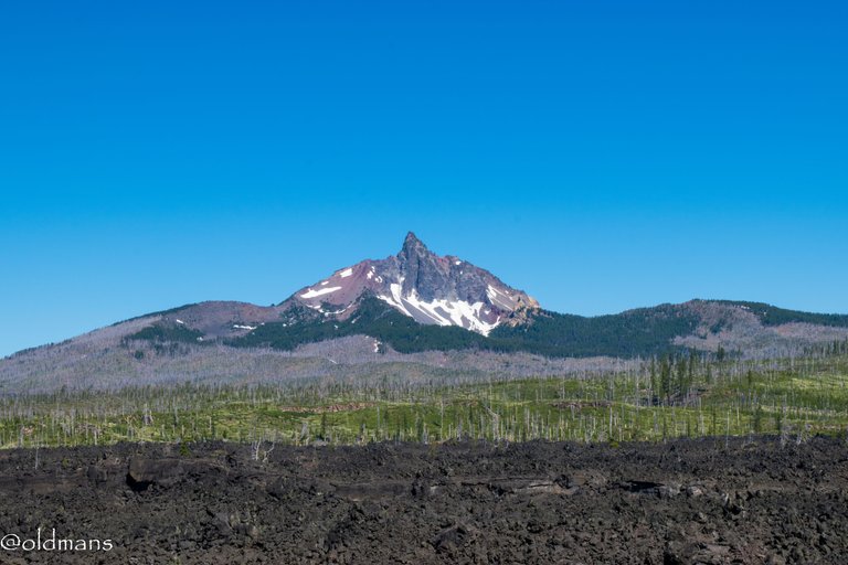
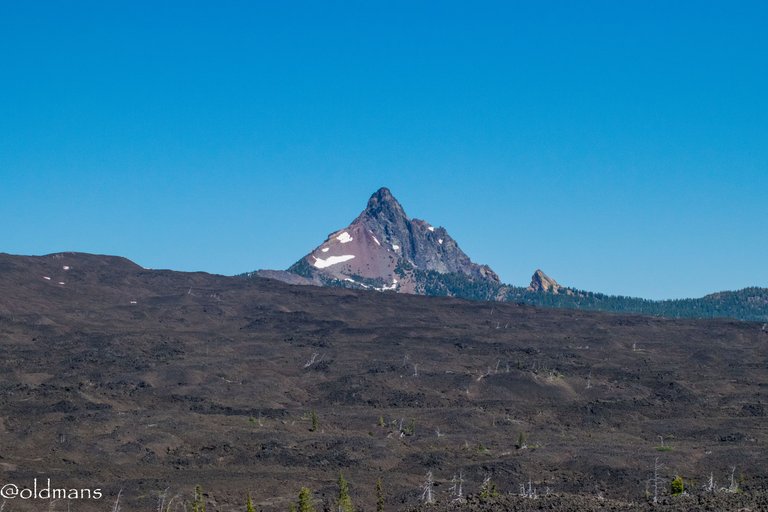
A few miles from the summit you get your first good look at some of the peaks in the Central Oregon Cascades from a roadside pullover. Mt Washington above, the tip of Three Fingered Jack and Mt Jefferson and Belknap Crater below.
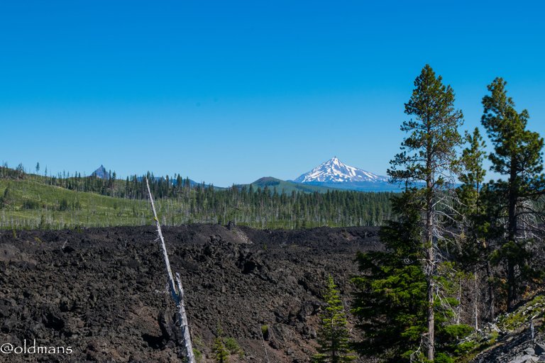
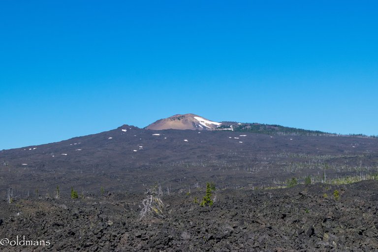
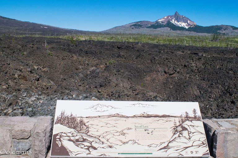
In geologic terms the lava fields here are very young. The most recent only about 1500 years old.
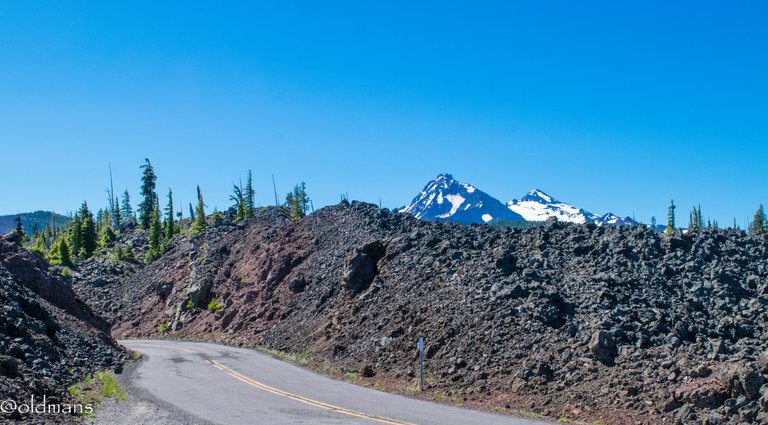
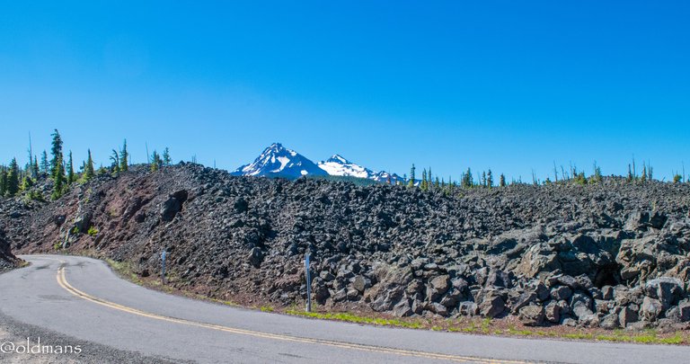
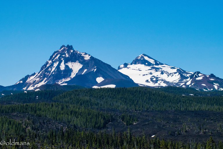
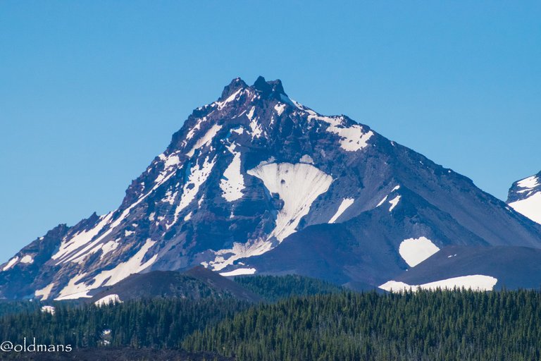
As I neared the summit, I took another quick stop and looked back at the road as I emerged from the canyon of lava that surrounded me. Two of the Three Sisters peaks can be seen here, North and Middle.
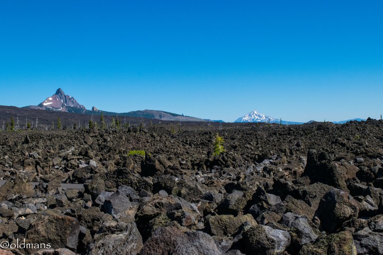
To the north Mt Washington and Mt Jefferson with just the very tip of Three Fingered Jack between them.
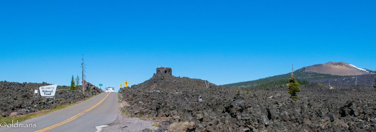
And finally my objective for the day, McKenzie pass summit and Dee Wright Observatory.
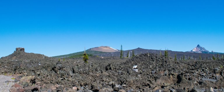
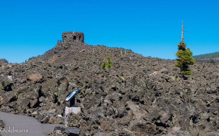
Dee Wright Observatory was built from the surrounding lava rock in the early 1930s by the Civillian Conservation Corps. On this day I decided to walk the path that goes out into the lava field. I'm sure my walk was much easier than what the old trade wagons had to endure crossing this pass in the 1860s.😀
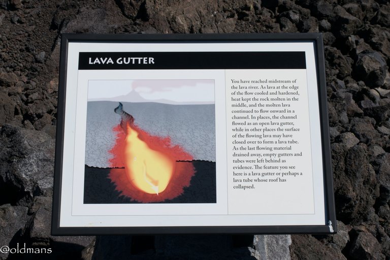
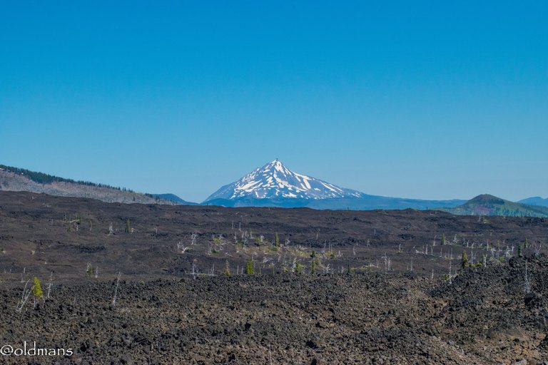
Imagine the view of hot lava flowing through the gutter below as it heads toward Mt Jefferson in the distance.
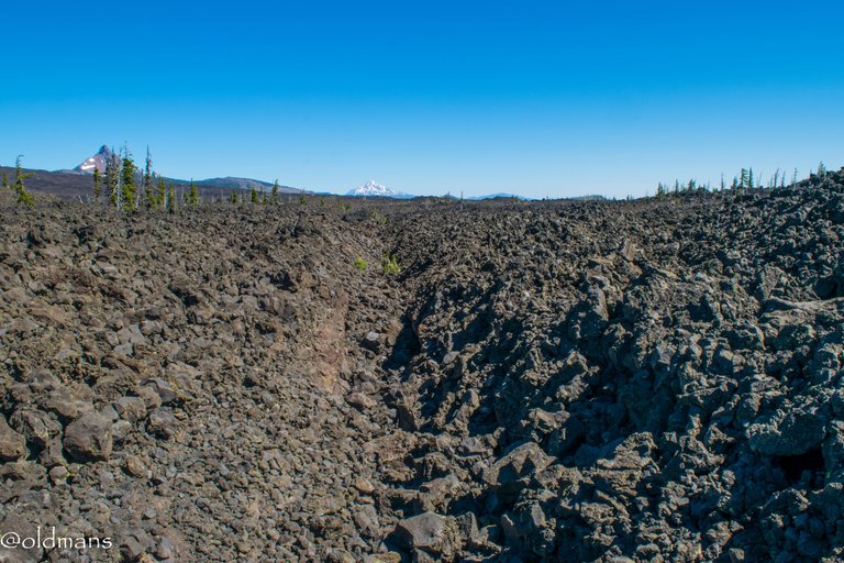
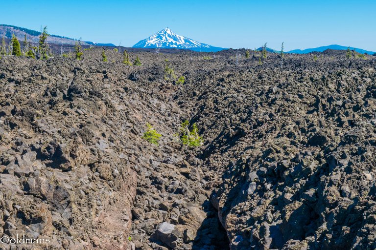
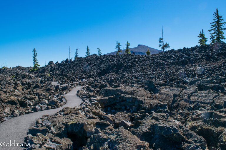
As I wind along the path and gain a little elevation...
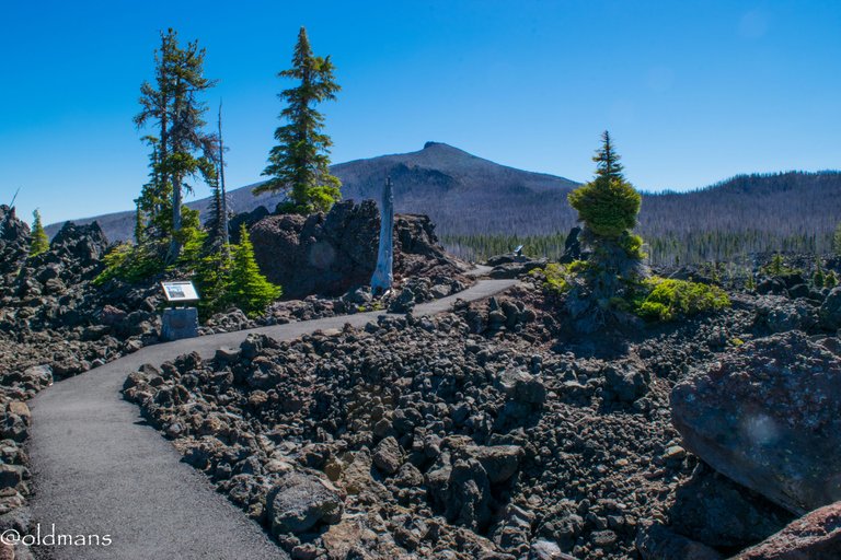
I come across a few oasis' of life in the barren rock landscape.
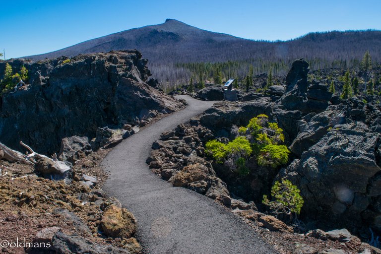
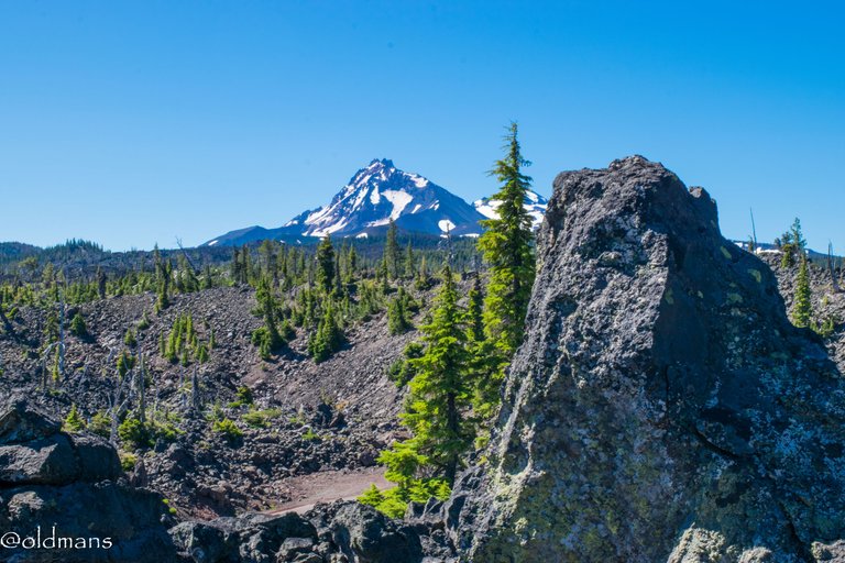
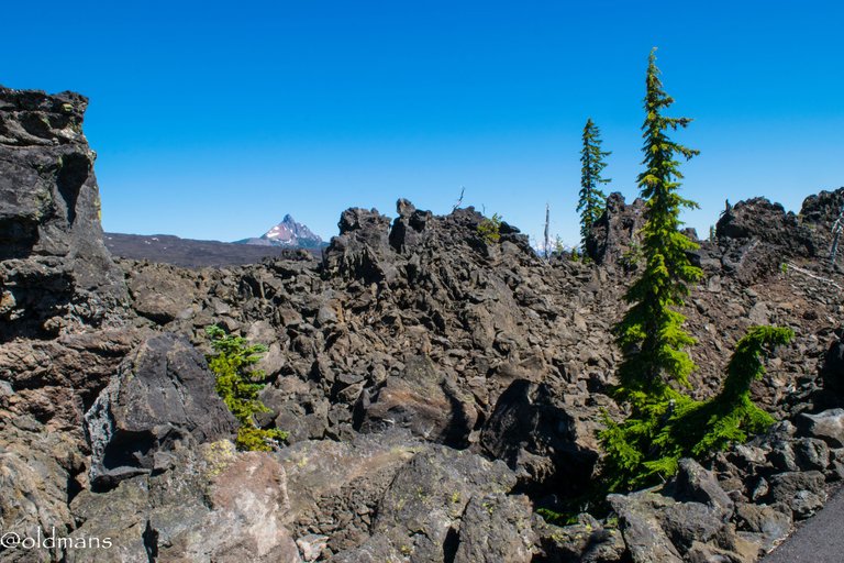
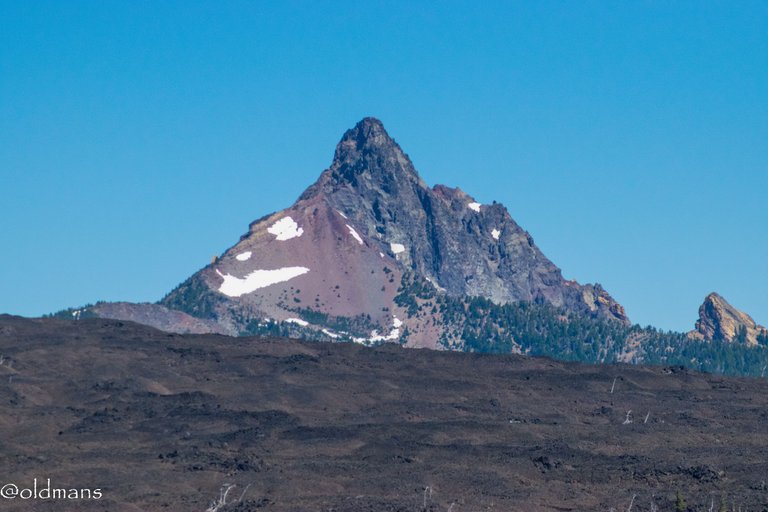
A couple more shots of the surrounding peaks as I continue my journey along the winding path.
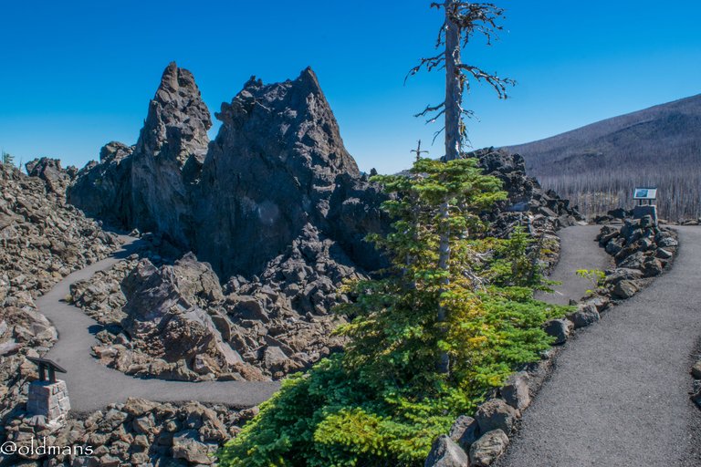
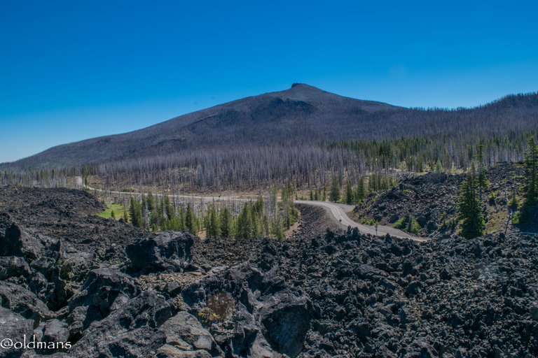
A view of Black Crater in the distance and the eastern edge of the lava flow. Below is the road I will soon travel to return home.
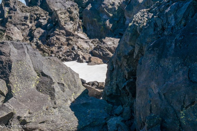
A remnant of the close to twenty feet of snow that was here during the winter. 😀
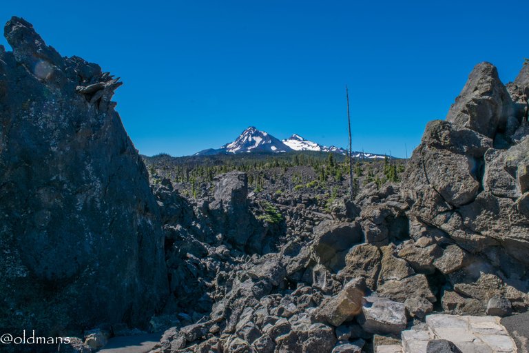
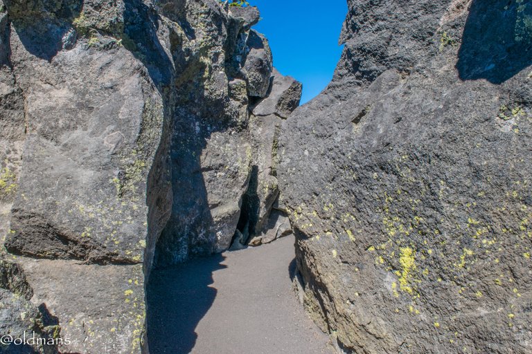
Through the slot...
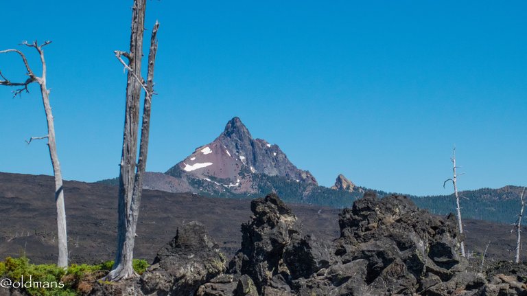
I'm greeted with this view of Mt Washington...
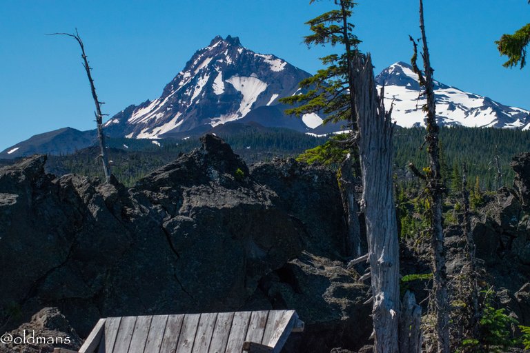
And a small bench to rest on with the Sisters behind me.

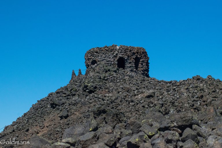
As the path leads me back to Dee Wright, I climb to the top and take a few more shots of the peaks before beginning my journey home.
Please feel free to make comments or ask me any questions about this post.
Photos taken by me, @oldmans, with a Nikon D3300 and some Lightroom post processing.
Please visit Pinmapple to see the locations of some of my other posts.
Thanks for looking and enjoy your day!

Congratulations, your post has been added to Pinmapple! 🎉🥳🍍
Did you know you have your own profile map?
And every post has their own map too!
Want to have your post on the map too?
I'd love to visit this side of America, not interested in NY city, I want the wild west 🤠
There is a lot to see out here. 😃
All the photos look amazing, good job! @oldmans 🙌
Thank you!
Hiya, @choogirl here, just swinging by to let you know that this post made it into our Honourable Mentions in Daily Travel Digest #1932.
Your post has been manually curated by the @pinmapple team. If you like what we're doing, please drop by to check out all the rest of today's great posts and consider supporting other authors like yourself and us so we can keep the project going!
Become part of our travel community:
Thank you!
It's a beautiful and dramatic part of the country, to be sure! We lived in Portland for a couple of years and took loks of cool day trips both east and west. Sounds like you're pretty close to where the October 14th total solar eclipse path falls... might be a cool photo op!
=^..^=
Posted using Proof of Brain
Yeah, there is a lot to see in the PNW and a lot of it is close by.
Thanks for the eclipse info. I didn't realize that was coming up. Looks like we are pretty close to path of totality or right on the edge. We were here for the total eclipse a few years ago. Was weird how much the temp dropped as the sun disappered. :)