Guache River, The Honey - Sarare [En-Es]

Lately in Barquisimeto, ambient temperatures have been above 34 centigrade (it is common, but it does not happen every day). The heat has been abysmal. Therefore, my brother, my uncle, one of my cousins, and I decided to go to the Guache River, located in the Sarare Municipality of Lara State.
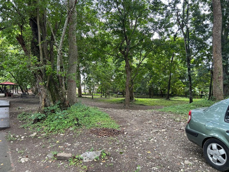
How did the idea of going there come about? Originally, we wanted to go to a refreshing place to spend the afternoon. Something that had water and was full of nature. I'll be honest, before going to this place, we went to the city of Acarigua to make a purchase of an appliance, and then we returned to The Honey. To get to this destination, it is approximately one to two hours by car from Barquisimeto.
The town called The Honey is a conurbation with the Guache River. Many people know this place as The Mayitas River, but this is a mistake because the park with this name is in a higher part of the river. That is to say, it is at another point with a higher proportion of altitude.
 |  |  |
 |  |  |
 | 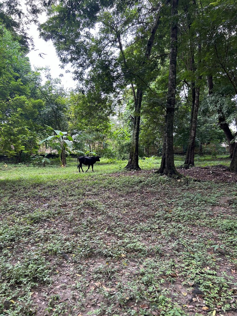 |  |
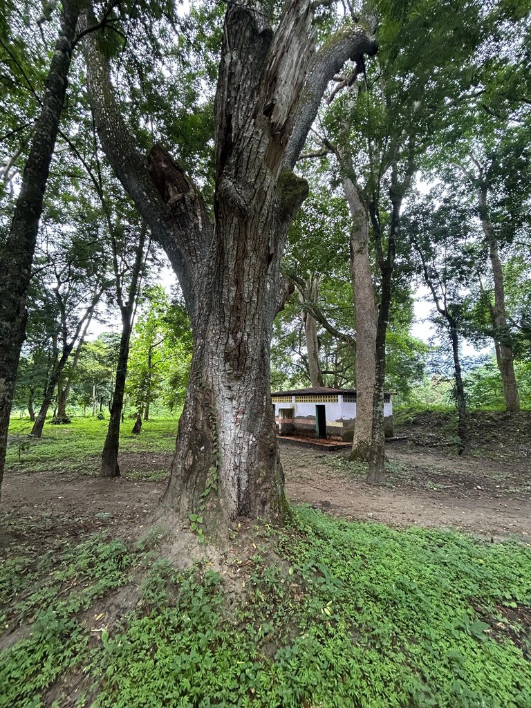
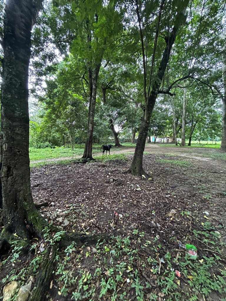
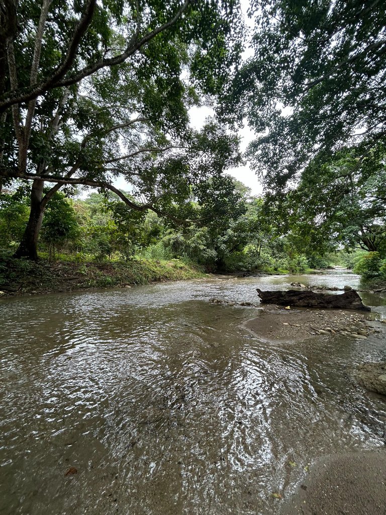
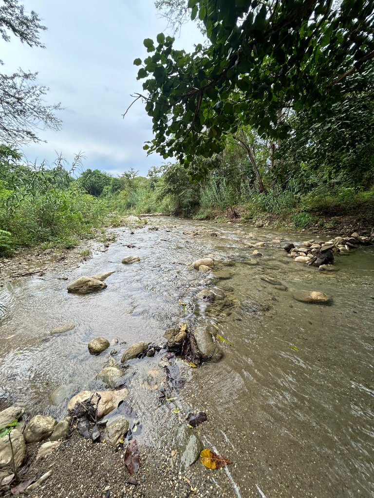
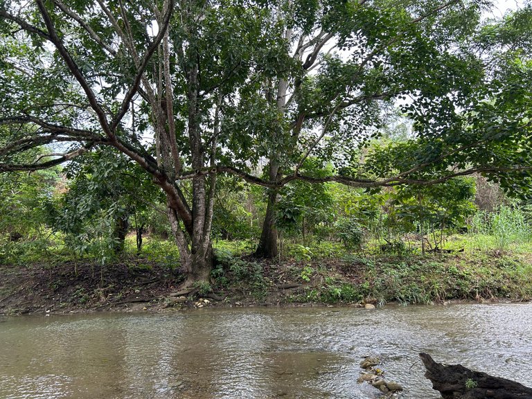
We arrived at the Guache River approximately after 2:00 p.m. The place is enchanting because of the immense presence of giant bushes. According to the people who live in the town of The Honey, they consider the Guache River to be a spa. As it was a weekday and in the afternoon, there was only a small group of people. A family of tourists, others who lived in the town of The Honey, and us who had just arrived.
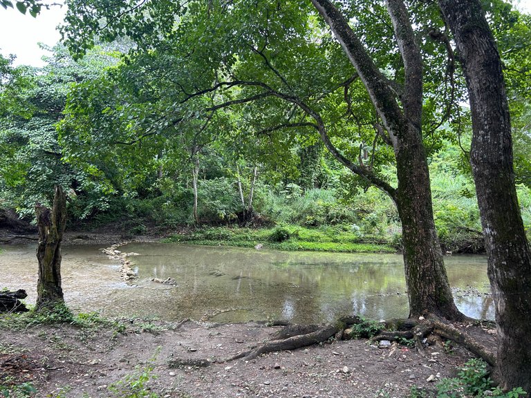
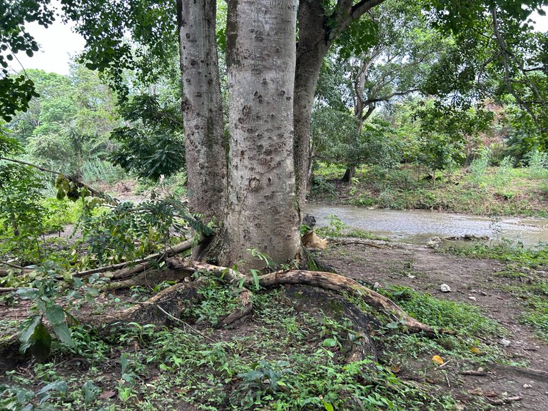
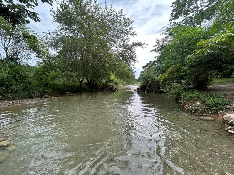
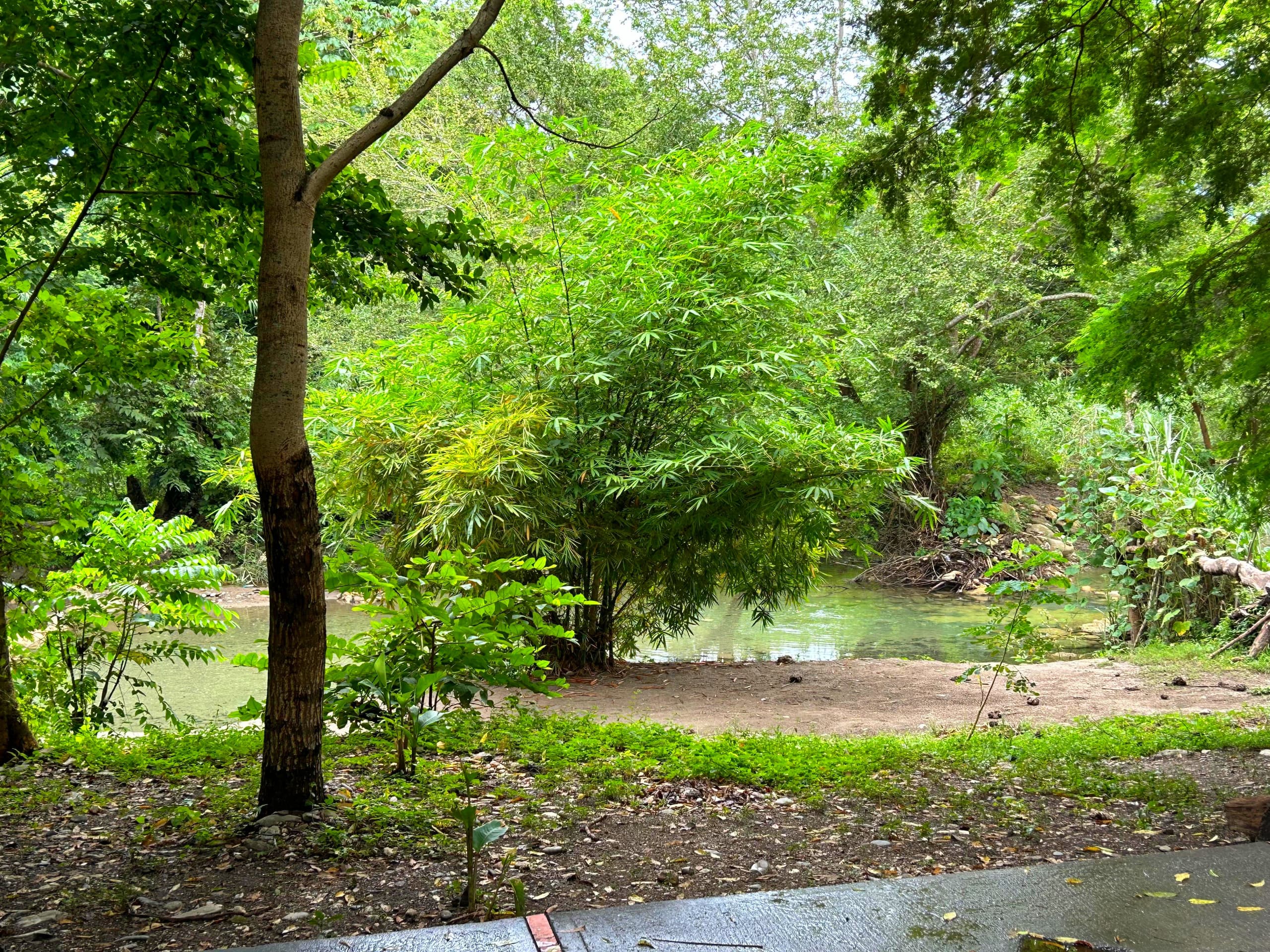
I quickly began to visualize the surroundings. I was very struck by the immense size of the bushes, as well as the green color and the smell of nature. The water in the Guache River was very flat and crystal clear. You could easily observe everything in it.
 |  |
 |  |
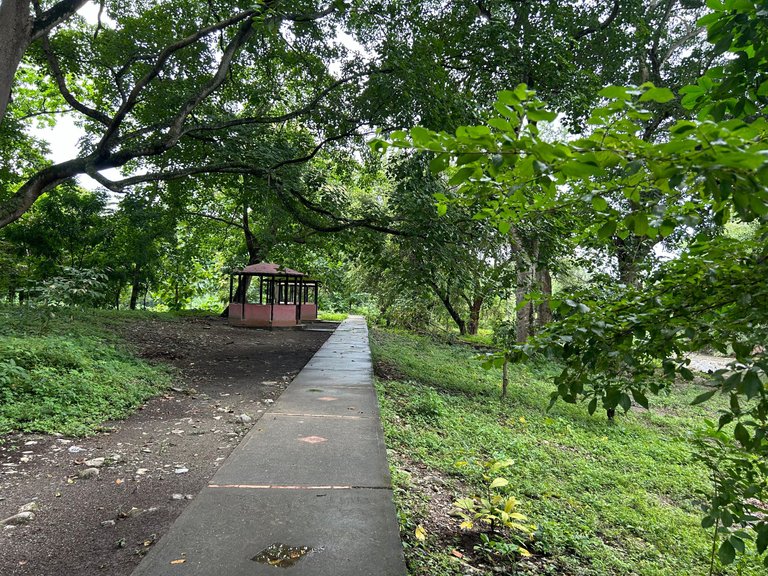 |  |
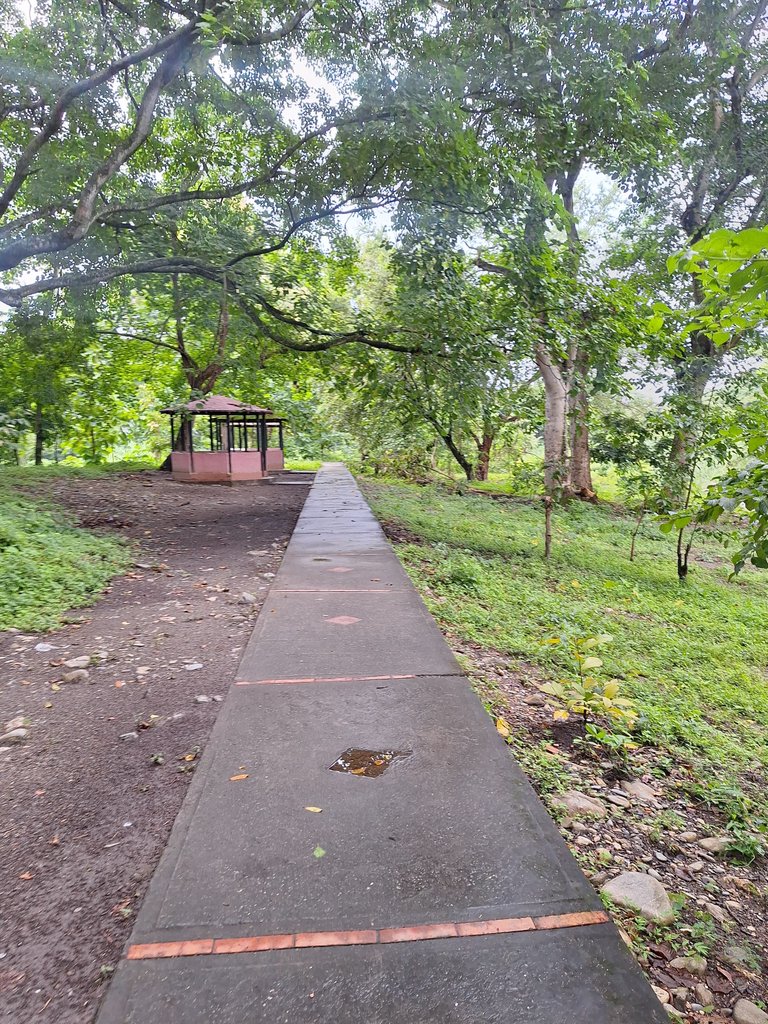
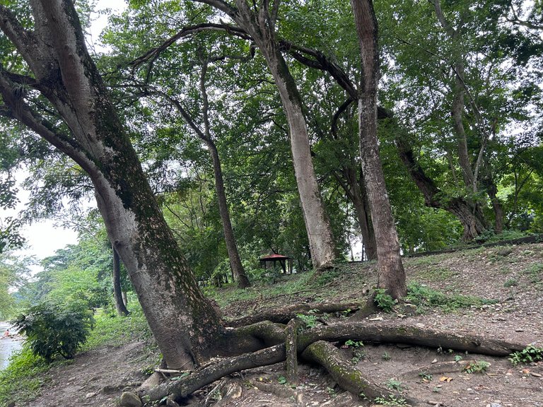
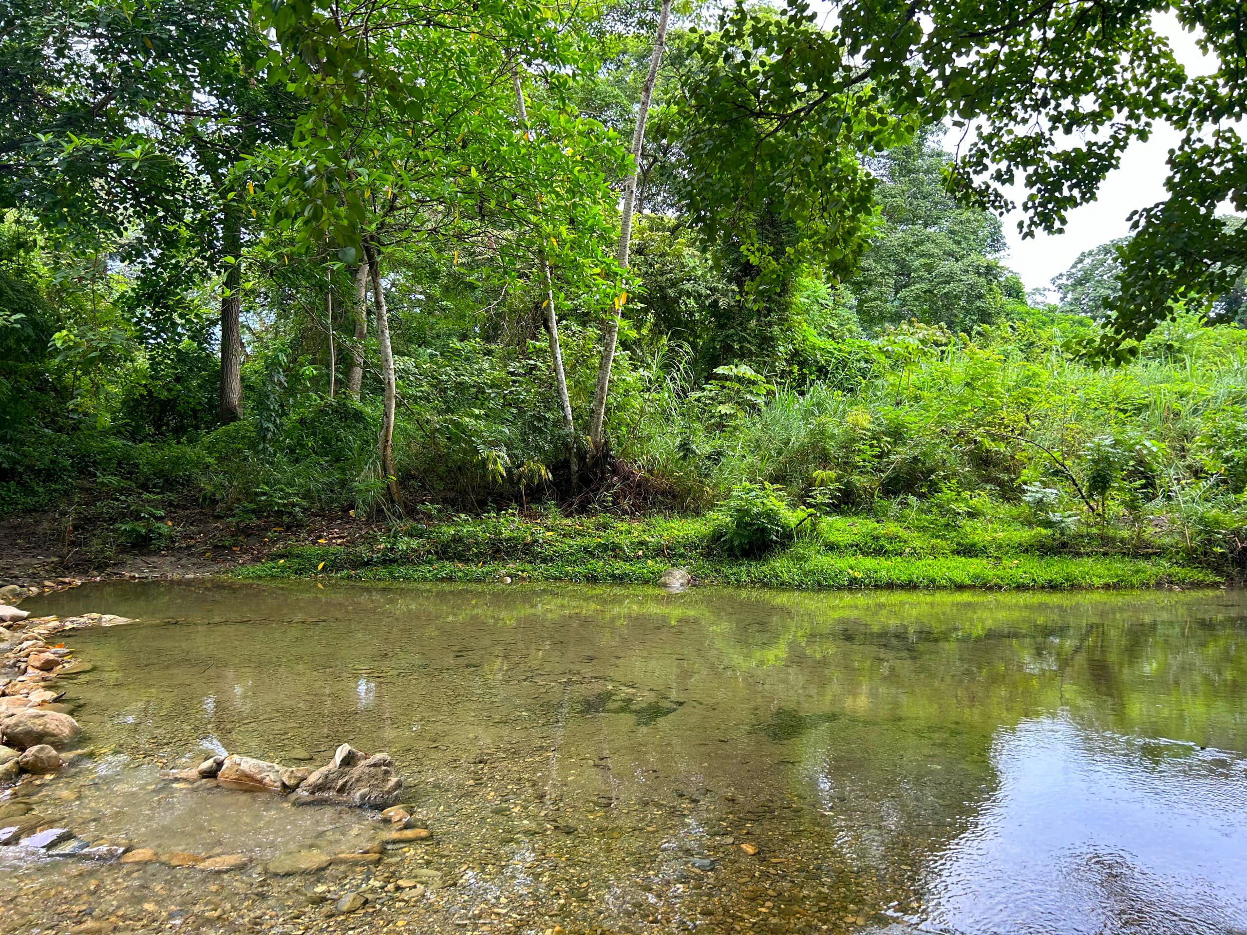
One advantage of this place is that there is a built-in path and some places where you can sit comfortably. Put things, drinks and food together. This is perfect if you decide to go with your family.
I talked to someone who lives near the river, and he indicated that it was very flat because that is its natural behavior, although when it rains, the circulation of water in the river usually increases.
 |  |
 |  |
 | |
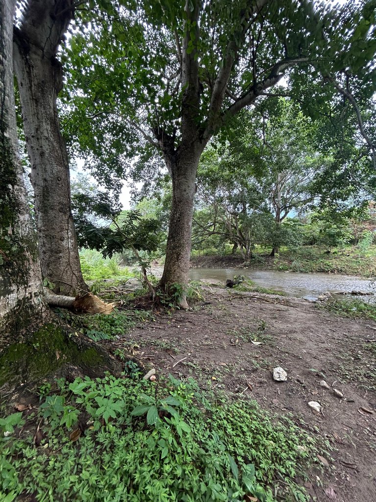
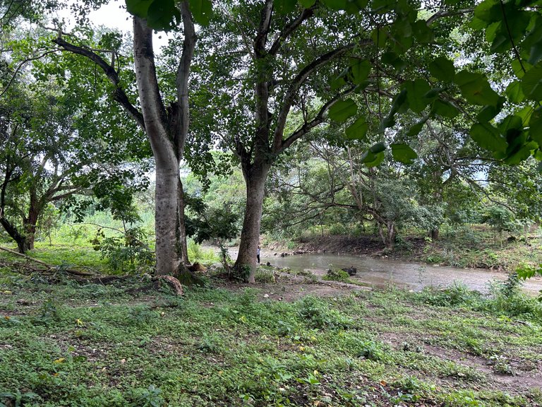
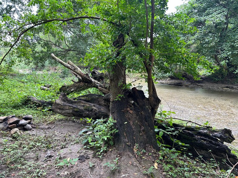
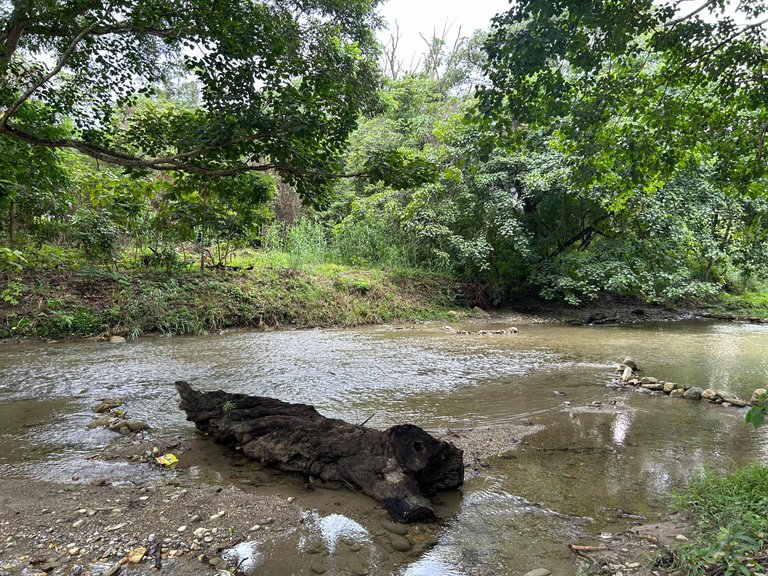
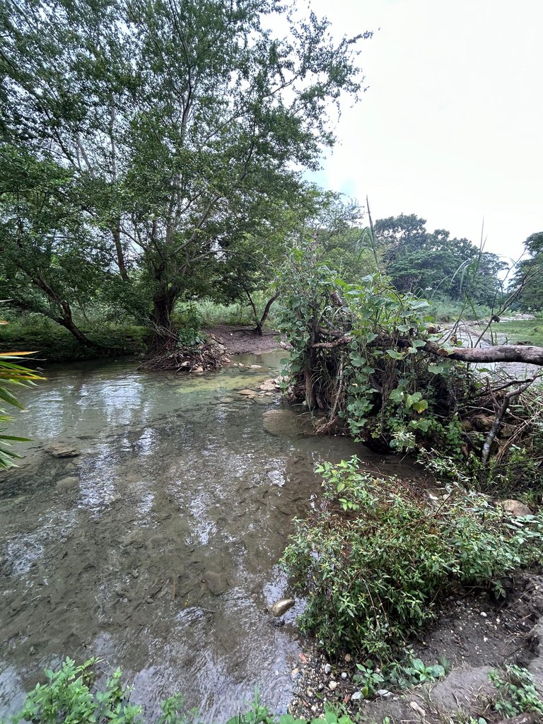
Something I found while walking around the place was a log in the middle of the river. I figured it was cut and placed there. It could also have been carried by the current of the water in the Guache River itself. Although the water in this spot may look very flat, in the curvature of the riverbed, it is somewhat deep.
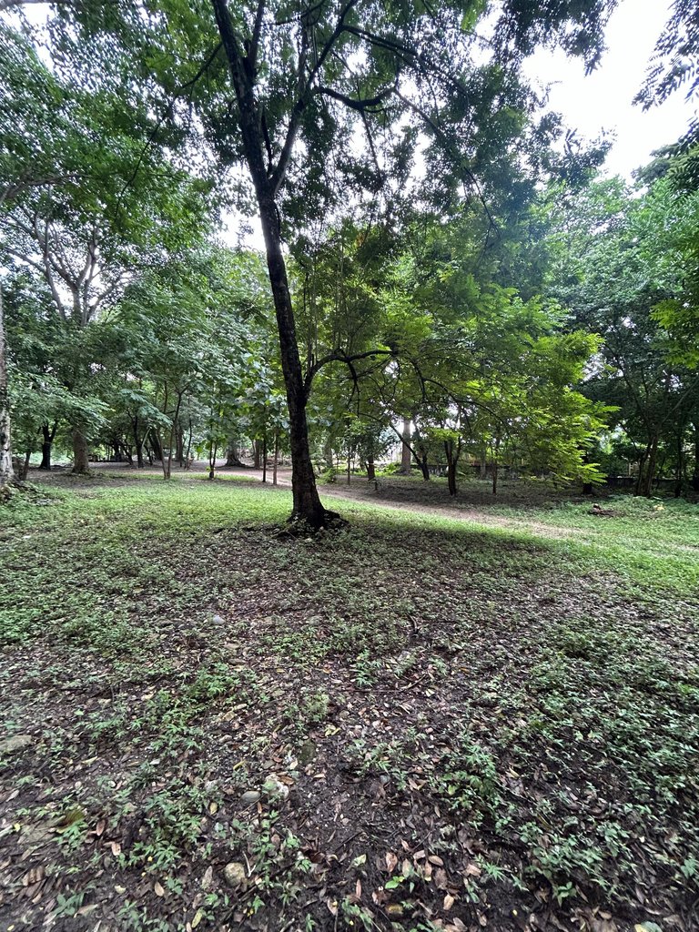
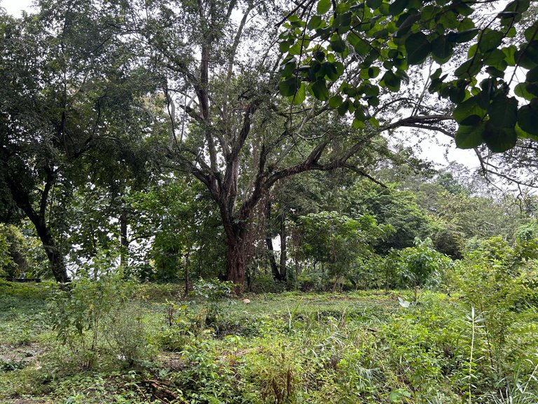
I would have liked to find the names of the trees, but the truth is that they are all incredible because of their size, diversity and color.
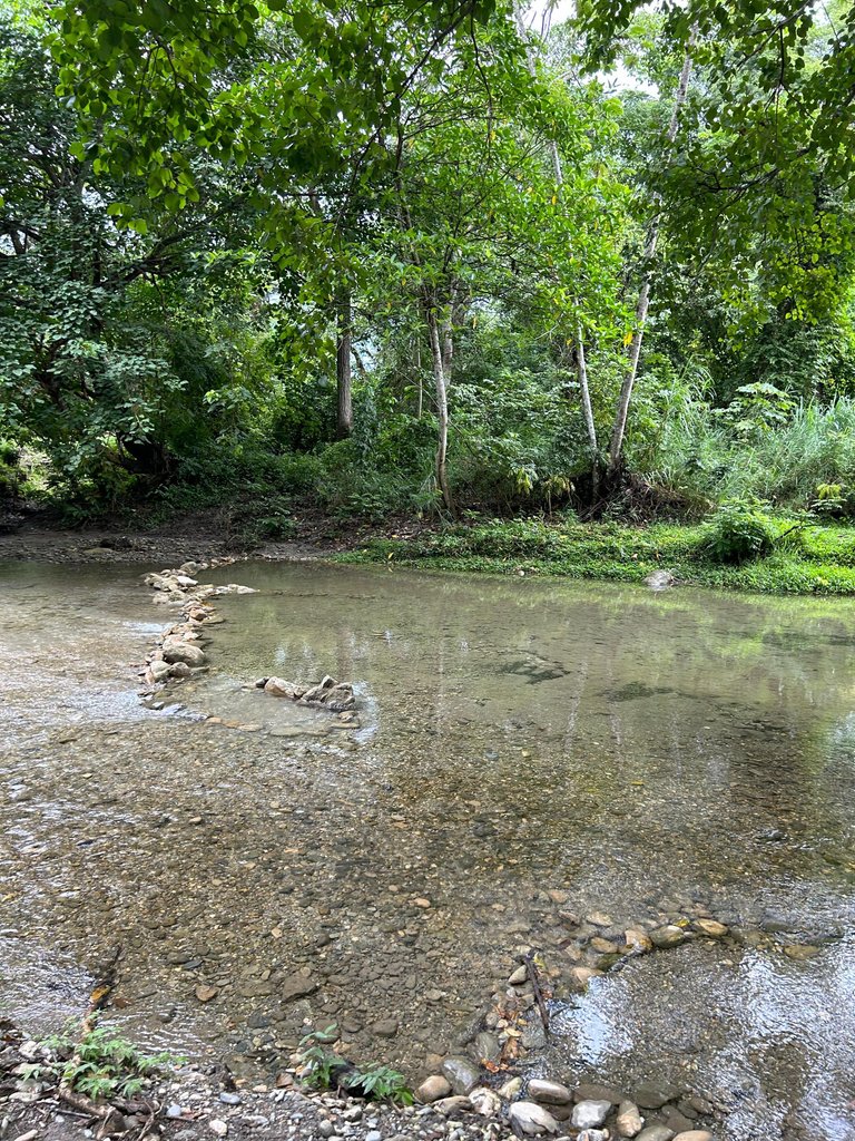
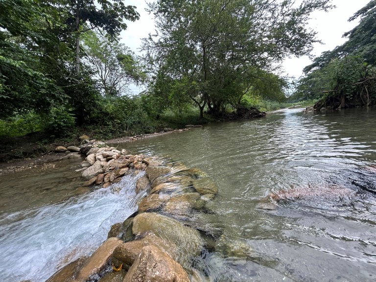
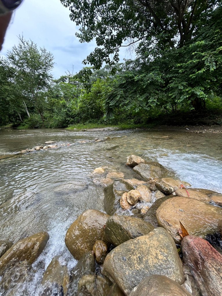
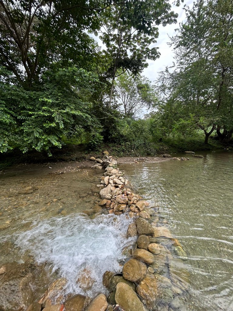
The best spot for swimming was a bit removed from where we initially parked the car, so we moved there. The place was perfect, there was a grouping of rocks, and it looked like the dams that beavers make. Of course, this one was made of stones. The water flowing at this point was incredible.
 |  |
 |  |
 |  |
The view from here was the best, plus it was deep enough to swim comfortably. The color of the water, the air and the river's own flow made everything perfect.
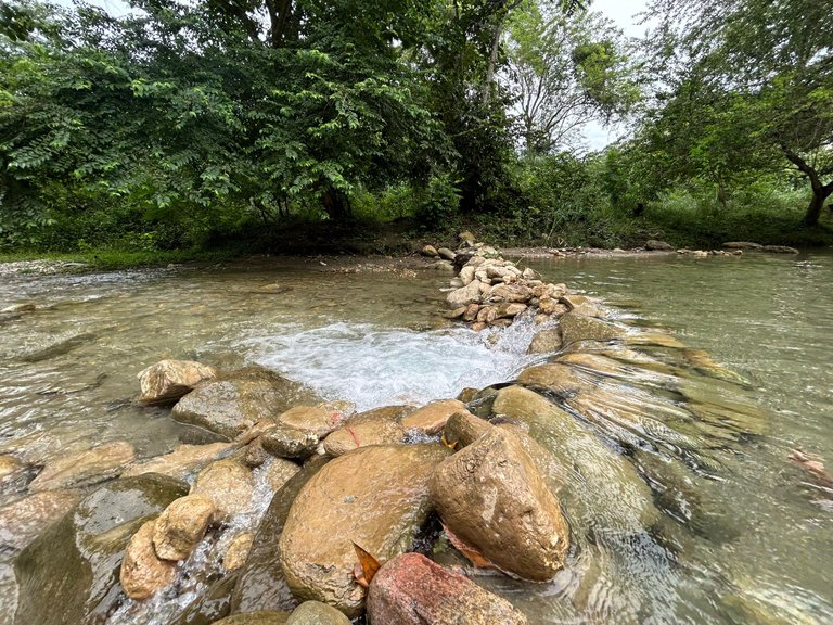
An important anecdote about the rocks that are in the river that I must point out is the following: The rocks that you see in the Guache River are sediments dragged from the Venezuelan coastal mountain range and the Andes mountain range. These rocks are dragged by different rivers as they are descending from the mountain range, they are hitting each other until they generate a circular shape.
 |  |
 | |
 |  |
 |  |
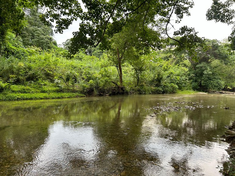
I decided to bathe at this point. The truth was the best decision, since the water was cold and it was delicious. I felt an incredible freshness in my body. Something characteristic of this river is that you can easily see what is at the bottom of the water, and depending on the position where you take a picture, the color of the shot will vary. Some photos may come out lighter, blue or greenish. It is something incredible.
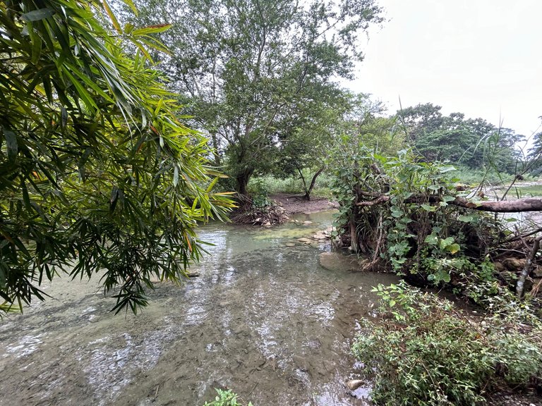
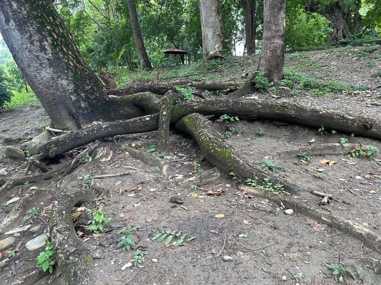
I can clearly say that the Guache River has a great vegetation lung around it. The bushes vary. All have a different size, there is a fairly comfortable infrastructure and although it is a river with a flat water flow, it is perfect for bathing depending on where you decide to do it.
 |  |
 |  |
 |  |
 |  |
Each place has its own beauty, for me the coolest thing was the water. It was crystal clear and clean. When I got out, after bathing in the Guache River, my skin felt soft. It was something incredible and something that in few places I have visited I have seen. Rivers like these are worth visiting to relax, have a good barbecue and drink some alcohol. Always sharing with nice people or people who are part of your life.

Although I like rivers with depth, the Guache River impressed me with its crystal clear water. It was a nice experience to be able to swim there and see a simple but beautiful part that also defines Venezuela.
Original content by @neruel. All rights reserved ©, 2024. Images: IPhone 15 - Samsung Galaxy A50. Translation: DeepL.
SPANISH VERSION (click here!)
En Barquisimeto, últimamente las temperaturas ambientales han estado por encima de los 34 centígrados (es algo común, pero no que ocurra todos los días). El calor ha sido abismal. Por ende, mi hermano junto a mi tío, uno de mis primos y yo decidimos ir al río Guache, ubicado en el Municipio Sarare del Estado Lara.
¿Cómo ocurrió la idea de ir a hasta allí? Originalmente, queríamos ir a un lugar refrescante y poder pasar la tarde. Algo que tuviera agua y estuviera lleno de naturaleza. Seré sincero, antes de ir a éste lugar fuimos a la ciudad de Acarigua a hacer una compra de un electrodoméstico y posteriormente regresamos a La Miel. Para llegar a éste destino son aproximadamente una a dos horas de carretera desde Barquisimeto.
El pueblo llamado La Miel es una conurbación con el río Guache. Mucha gente conoce éste lugar como río las Mayitas, pero esto es un error debido a que el parque con éste nombre está en una parte que es superior. Es decir, se encuentra en otro punto con mayor proporción de altura.
Llegamos al río Guache aproximadamente después de las 2:00 pm de la tarde. El lugar es encantador por la inmensa presencia de arbustos gigantes. Según la gente que habita en el pueblo de La Miel, consideran el río Guache como un balneario. Como era un día de semana y horas de la tarde, sólo había un pequeño grupo de personas. Una familia de turistas, otros que vivían en el pueblo La Miel y nosotros que recién llegábamos.
Yo rápidamente comencé a visualizar los alrededores. Me llamó mucho la atención el inmenso tamaño de los arbustos, además del color verde y el olor de la naturaleza. El agua en el río Guache era muy llana y cristalina. Se podía observar fácilmente todo en ella.
Algo ventajoso de éste lugar es que hay una caminería y algunos lugares donde uno puede sentarse cómodamente. Poner las cosas, las bebidas y la comida. Esto es perfecto si decides ir en familia.
Conversé con alguien que vive en las cercanías del río y me indicó que estaba muy llano porque ése es su comportamiento natural; aunque cuando llueve suele aumentar la circulación de agua en él.
Algo que encontré recorriendo el lugar fue un tronco en medio del río. Me imaginé que fue cortado y colocado allí. También pudo haber sido arrastrado por la corriente del agua del propio río Guache. Aunque el agua en éste lugar puede verse muy llana, en la curvatura del cauce del río es algo honda.
Me hubiera gustado encontrar los nombres de los árboles junto a ellos; pero la verdad es que todos son increíbles debido al tamaño, la diversidad y su color.
El mejor punto para poder bañarse estaba un poco retirado de donde estacionamos inicialmente el carro, así que nos movimos hasta él. El lugar era perfecto, había una agrupación de piedras, parecía a las presas que hacen los castores. Claro, esta era de piedras. El agua que circulaba en éste punto era increíble.
La vista de acá fue la mejor, además era lo suficiente hondo para bañarse cómodamente. La coloración del agua, el aire y la propia afluencia del río hacían todo perfecto.
Una anécdota importante con las rocas que están en el río y que debo resaltar es la siguiente: Las rocas que se ven en el río Guache son sedimentos arrastrados desde la cordillera de la costa venezolana y la cordillera de los Andes. Estas rocas arrastradas por diferentes ríos a medida que van descendiendo de la cordillera se van golpeando hasta generar una forma circular.
Yo decidí bañarme en éste punto. La verdad fue la mejor decisión, ya que el agua estaba fría y estaba riquísima. Se sentía una frescura en el cuerpo increíble. Algo característico de éste río es que fácilmente visualizas lo que está en el fondo del agua y dependiendo la posición en donde se tome una fotografía, variará el color de la toma. Algunas fotos pueden salir más claras, azules o verdosas. Es algo increíble.
Puedo decir con claridad que río Guache tiene a su alrededor un gran pulmón vegetal. Los arbustos varían. Todos poseen un tamaño distinto, hay una infraestructura medianamente cómoda y a pesar de que es un río con un caudal de agua llano, es perfecto para poder bañarse dependiendo en qué lugar decidas hacerlo.
Cada lugar tiene su propia belleza, para mí lo más genial fue el agua. Era cristalina y estaba limpia. Al salir, luego de bañarme en el río Guache, mi piel se sentía suave. Era algo increíble y que en pocos lugares que he visitado he visto. Los ríos como estos valen la pena visitarlos para relajarse, hacer un buen asado de carne y tomar algo de alcohol. Siempre compartiendo con personas agradables o que forman parte de tu vida.
A pesar de que me gustan los ríos con cauces de agua con profundidad, el río Guache me dejó impresionado por el agua cristalina que posee. Fue una experiencia agradable poder bañarse allí y ver una parte sencilla; pero hermosa que también define a Venezuela.
Contenido original de @neruel. Todos los derechos reservados ©, 2024. Imágenes: IPhone 15 - Samsung Galaxy A50. Traducción: DeepL.
Posted Using InLeo Alpha
Congratulations, your post has been added to WorldMapPin! 🎉
Did you know you have your own profile map?
And every post has their own map too!
Want to have your post on the map too?
Thanks so much for this, guys. :)
Hey @neruel you are welcome.
Thanks for using @worldmappin 😘
Hiya, @ybanezkim26 here, just swinging by to let you know that this post made it into our Honorable Mentions in Travel Digest #2325.
Your post has been manually curated by the @worldmappin team. If you like what we're doing, please drop by to check out all the rest of today's great posts and consider supporting other authors like yourself and us so we can keep the project going!
Become part of our travel community:
You are very welcome @neruel🐝🐝 Thanks for the flowers 😘
Very nice picture my friend I am very entertained with the picture you posted.
Glad you liked it @arieswilly.