Unplanned hike from Kothi Village to Anjani Mahadev Temple
Today is my fifth day in Solang Valley and so far I have trekked to places like Bakkarthach, Patalsu Peak, Kothi Village, Vashishtha Temple and Mori Dug. I have only one purpose of coming to Solang and that is to volunteer in the trail race organized here every year. In the event, I have to do recce, marking and photography of the route. I am tired after hiking 15 to 30 km continuously for the last 2-3 days, so I have taken rest today.
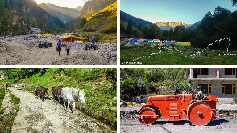
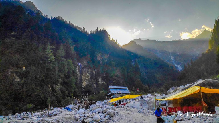
After taking rest, I want to do a small hike around in the day which I have named as recovery walk. Along with breakfast, I see the confluence of Dhauladhar and Pir Panjal mountain ranges from the hotel balcony, the first rays of the sun are spread on the forehead of the confluence in such a way as if crowning the mountains with gold. Seeing this scene with the sound of the Beas river overwhelms my soul.
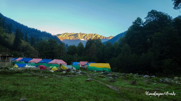
Today my friend @naveen.jogta is also with me and in the route we have planned, we will first go to Kothi village from where we will decide where to go. We leave the hotel at around 2 pm, by now the coldness of the weather has reduced a lot due to the sun. The dew drops that fell on the green grass at night are shining like pearls. We have started walking from Solang Valley towards Kothi village.
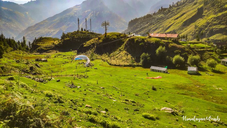
We have decided to go to Kothi because after the construction of Atal Tunnel, there is very little traffic on this road, so it will be easy to walk and we will not hear the noise of the engines and horns of the vehicles. Kothi village is about 6.5 km from Solang, we are enjoying walking and seeing the paragliders hovering above us, we are shouting and greeting “Have a good day”.
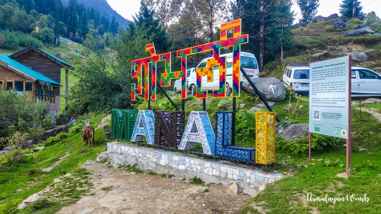
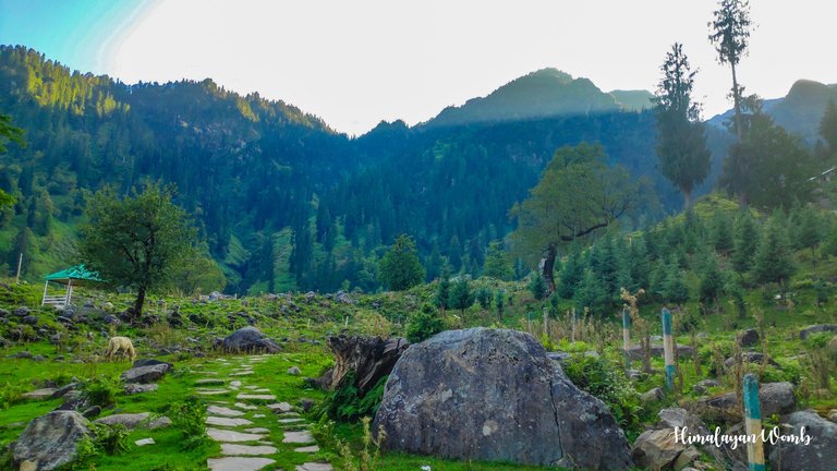
After reaching Kothi, we are admiring the view shown below, Manali is below, Goshal, Palchan and Barua village are visible. To our west, we can see the Anjani Mahadev hill where a famous Hindu temple named “Anjani Mahadev” is located. After looking at Anjani, we both decide to go to Anjani from here.
Anjani Mahadev temple is 8 km away from Kothi, the fatigue of the last few days is being felt a lot in this short walk. After about two and a half hours, we reach the footpath going to Anjani Mahadev. Anjani Mahadev is a Hindu temple dedicated to Lord Shiva and Goddess Anjana. According to history, Shri Shri Vishuddhanand ji had a dream about Anjani Mahadev, according to the dream, he had to go there and establish a temple of Lord Shiva and Anjana. Anjana, who was Hanuman’s mother, had performed penance of Lord Shiva here for a long time.
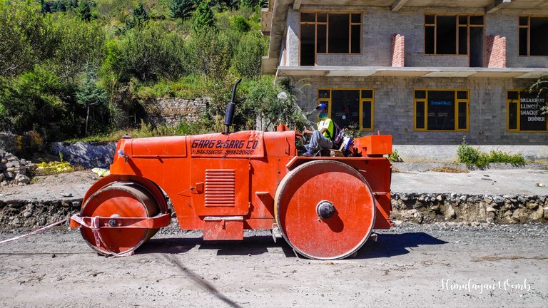
Due to its historical importance, lakhs of people visit the temple every year. Here, water falls on the Shivling from a height of 120 feet, which freezes in winter and becomes a big Shivling. Due to mythological reasons, this place has religious importance among Hindus. While coming back, we come across a road roller on which Naveen does not agree without sitting. Of course, we do not have its keys, so we just click a photo and go on our way.
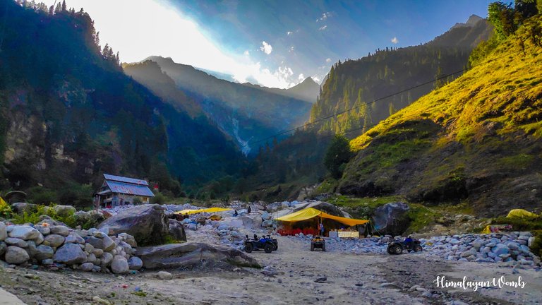
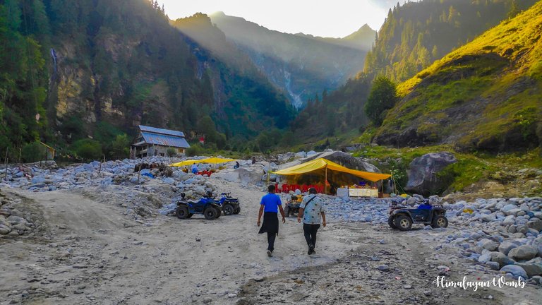
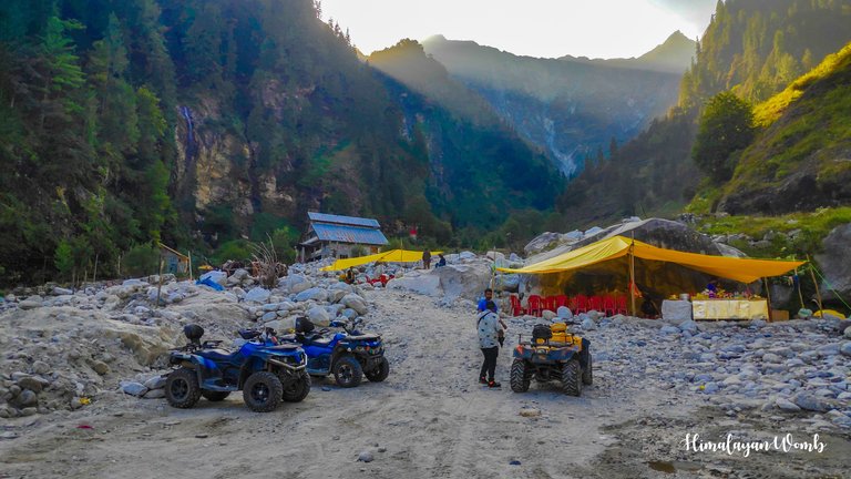
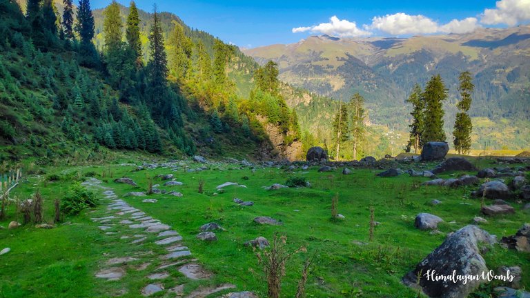
The sun sets early on this side of the mountain, so it is getting dark here now. The yellow light of the sun from behind the mountain wants to come towards this part of the valley, but due to the high height of the mountain, the light is not able to reach this side. After visiting the temple from a distance, we start descending back. While descending, we see the mountain of Bhrigu Lake, Patalsu mountain is visible and high mountains like Hanuman Tibba are shining on our left side.
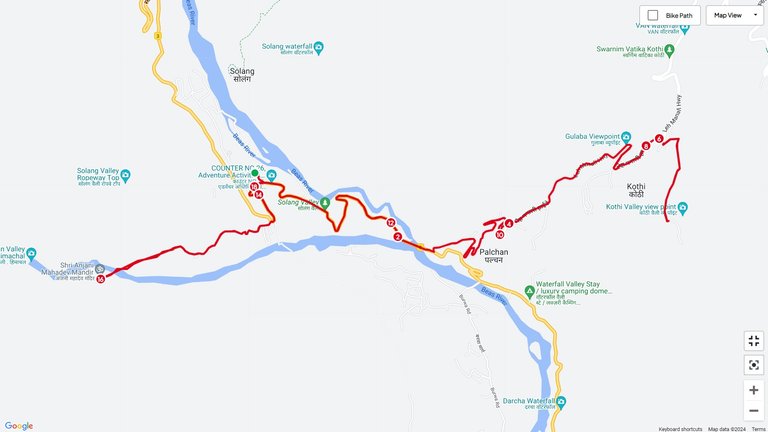
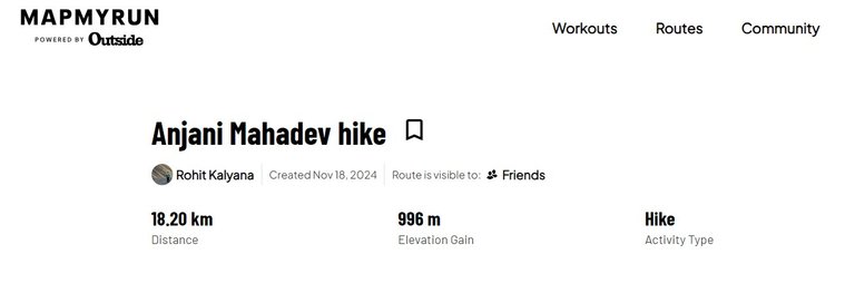
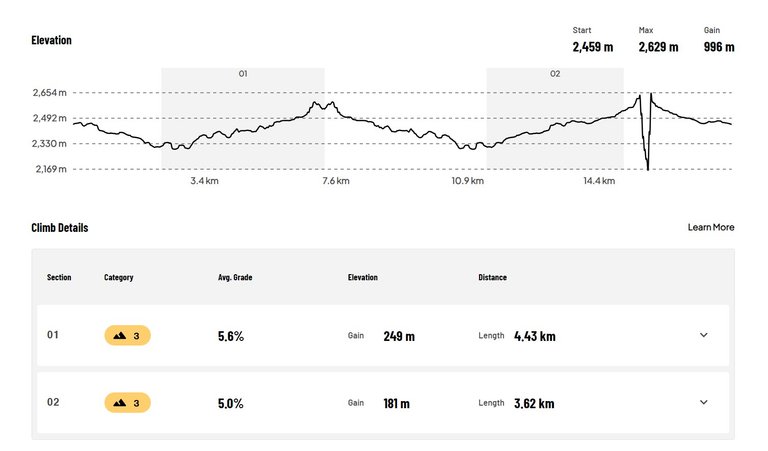
We have to reach our hotel before evening, so now it is time to go back to the hotel after taking God's blessings. After about two and a half km, we reach the hotel and end our day. Today, while walking, we have covered 18.20 km in which we gained 996 meters of elevation. So today's journey ends here, we will meet again tomorrow at some other hill station.
Disclaimer: This post is originally written in Hindi and I have used Google Translator to translate the Hindi text in English. All the photos have been clicked by me from POCO F1 android smartphone and edited in deskstop software adobe lightroom. Thumbnail created adobe photoshop.
You can check out this post and your own profile on the map. Be part of the Worldmappin Community and join our Discord Channel to get in touch with other travelers, ask questions or just be updated on our latest features.
wow, what a beautiful place.
Wow... paradise 😍
This post has been manually curated by @steemflow from Indiaunited community. Join us on our Discord Server.
Do you know that you can earn a passive income by delegating to @indiaunited. We share more than 100 % of the curation rewards with the delegators in the form of IUC tokens. HP delegators and IUC token holders also get upto 20% additional vote weight.
Here are some handy links for delegations: 100HP, 250HP, 500HP, 1000HP.
100% of the rewards from this comment goes to the curator for their manual curation efforts. Please encourage the curator @steemflow by upvoting this comment and support the community by voting the posts made by @indiaunited.
!discovery 30
This post was shared and voted inside the discord by the curators team of discovery-it
Join our Community and follow our Curation Trail
Discovery-it is also a Witness, vote for us here
Delegate to us for passive income. Check our 80% fee-back Program
बस लाइफ मे एक बार मनाली से लेह इसी रोड रोलर पर जाना है । 😀
Hiya, @lizanomadsoul here, just swinging by to let you know that this post made it into our Honorable Mentions in Travel Digest #2383.
Your post has been manually curated by the @worldmappin team. If you like what we're doing, please drop by to check out all the rest of today's great posts and consider supporting other authors like yourself and us so we can keep the project going!
Become part of our travel community: