A Volunteer's Journey: A Unique Hiking Experience in the Himalayas
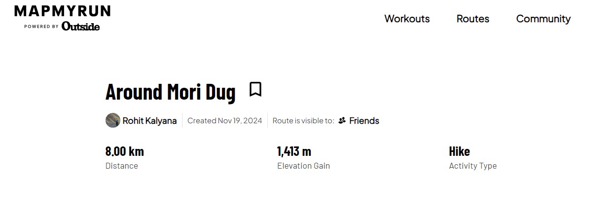
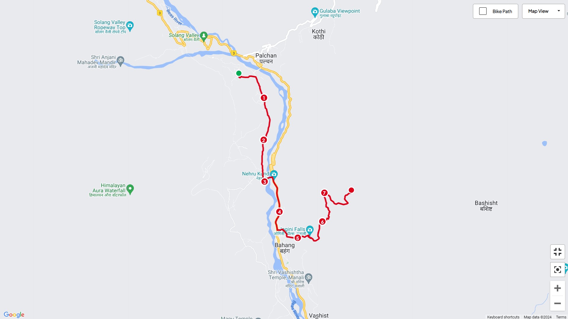
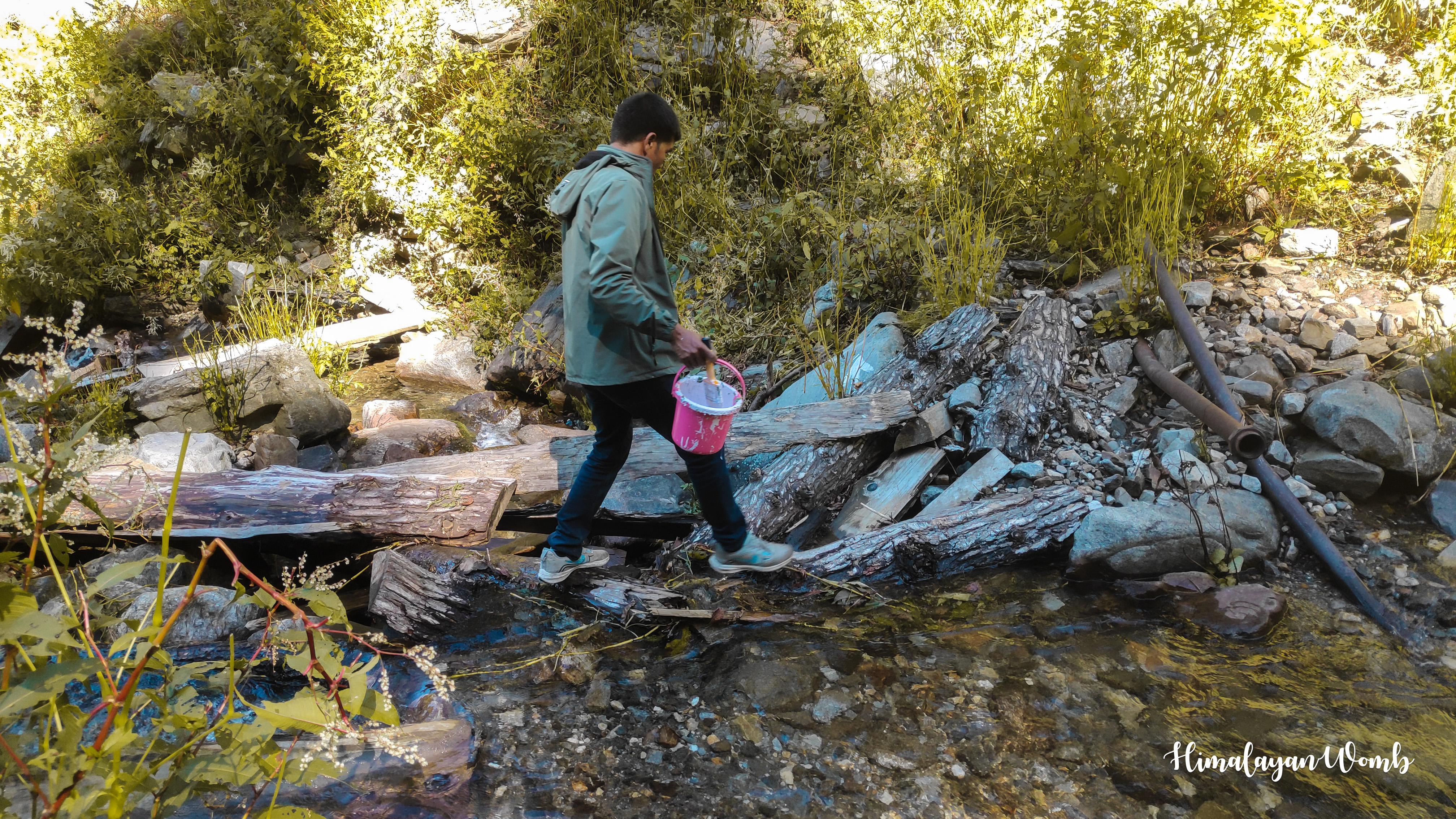
Even after resting yesterday, we did a hike of 18 km in which we visited Kothi village and Anjani Mahadev temple. Today's plan is that we have to mark a segment of the trail race to be held next week. Today's marking will start from Barua village and will reach Vashishtha temple via Nehru Kund, from where we will climb up to Mori Dug campsite after which we will start descending towards the British bridge situated above Kothi village.
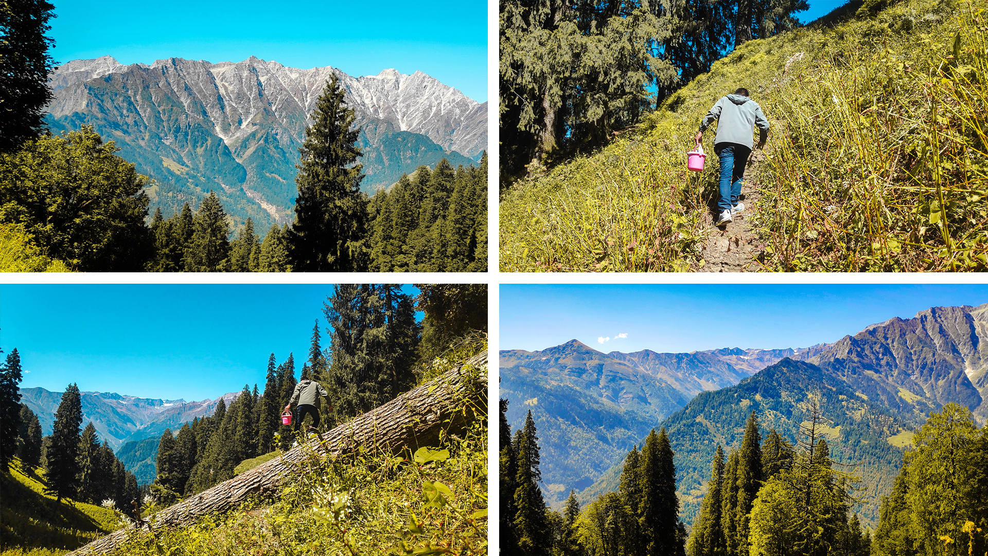
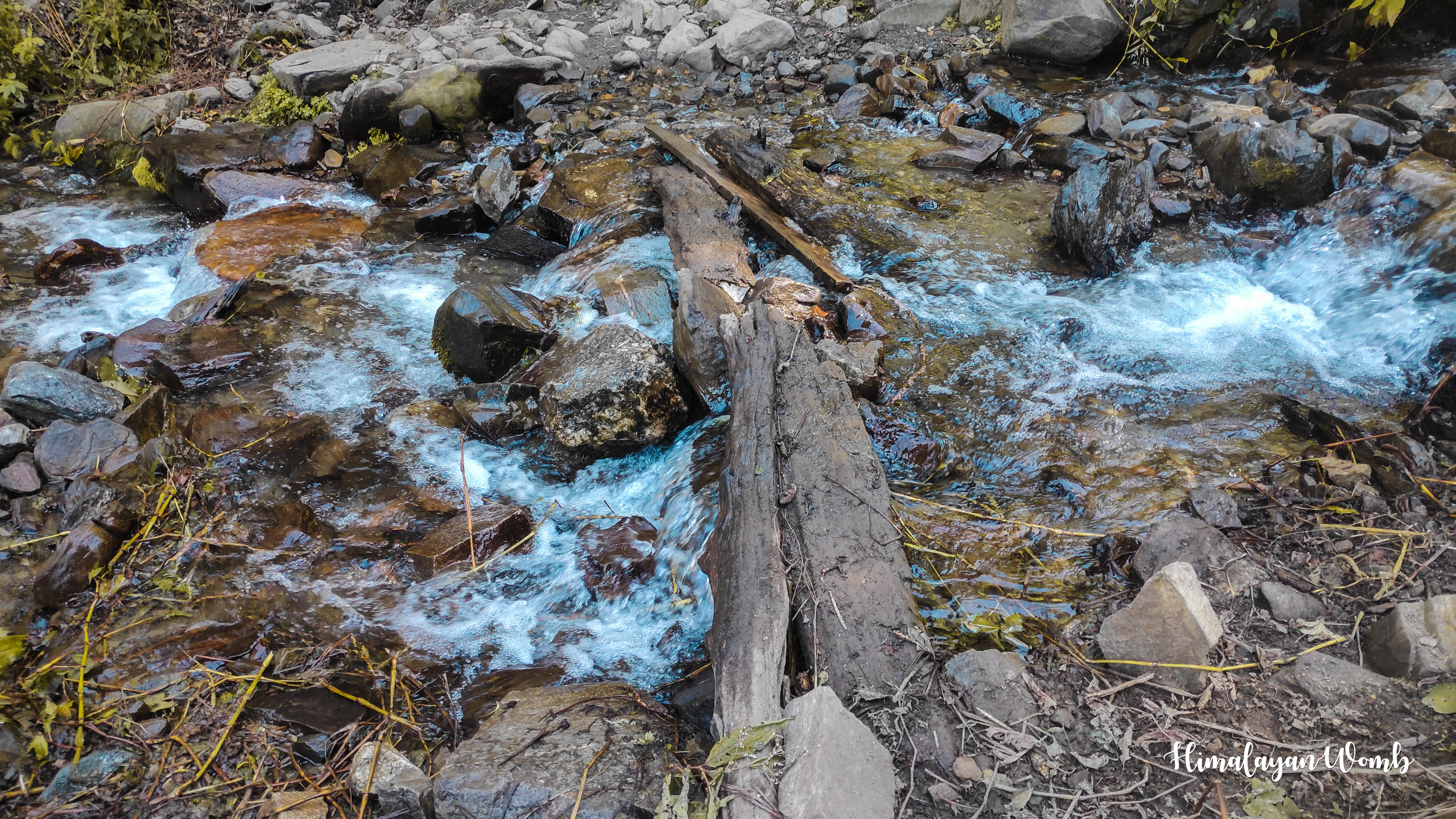
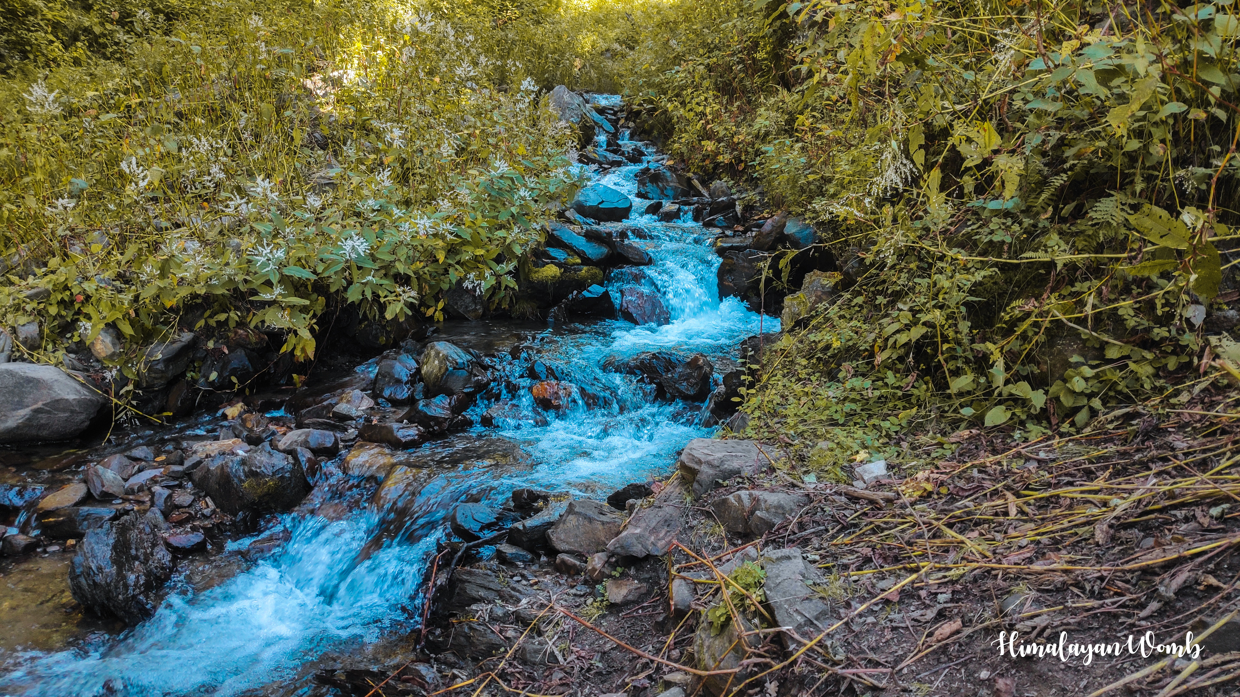
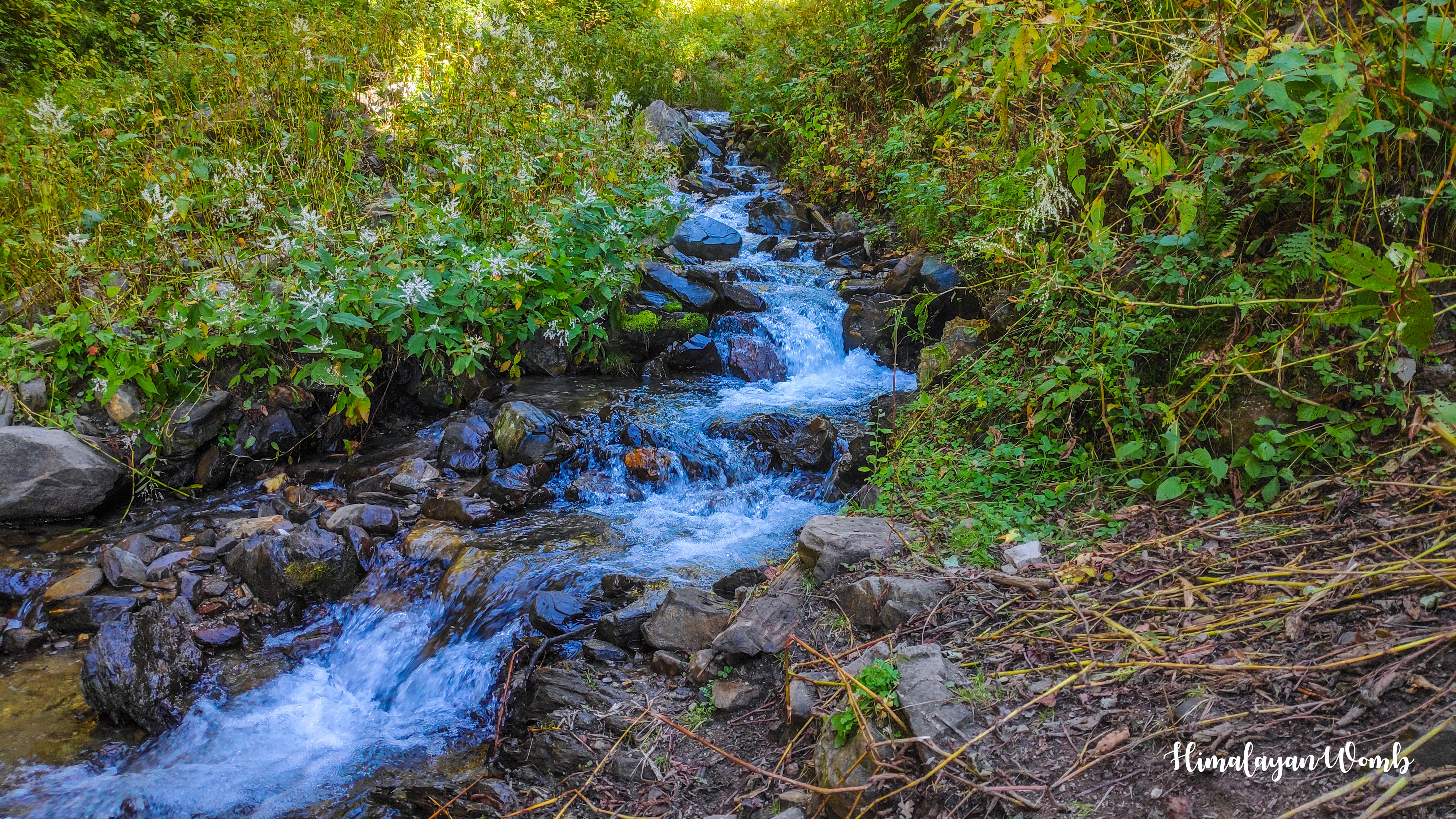
Barua village is the second last village of this Solang valley, the last village in this valley is Solang village which is situated at an altitude of 2450 meters. Barua village is situated on the banks of the stream coming from Anjani Mahadev, from where one can get beautiful views of Patalsu and Bhrigu Lake mountain. An ancient trail from Barua village also goes towards Hanuman Tibba which was used during the British time, now instead of this trail, the Tentu Pass trail is used.
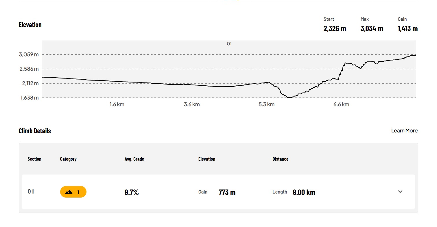
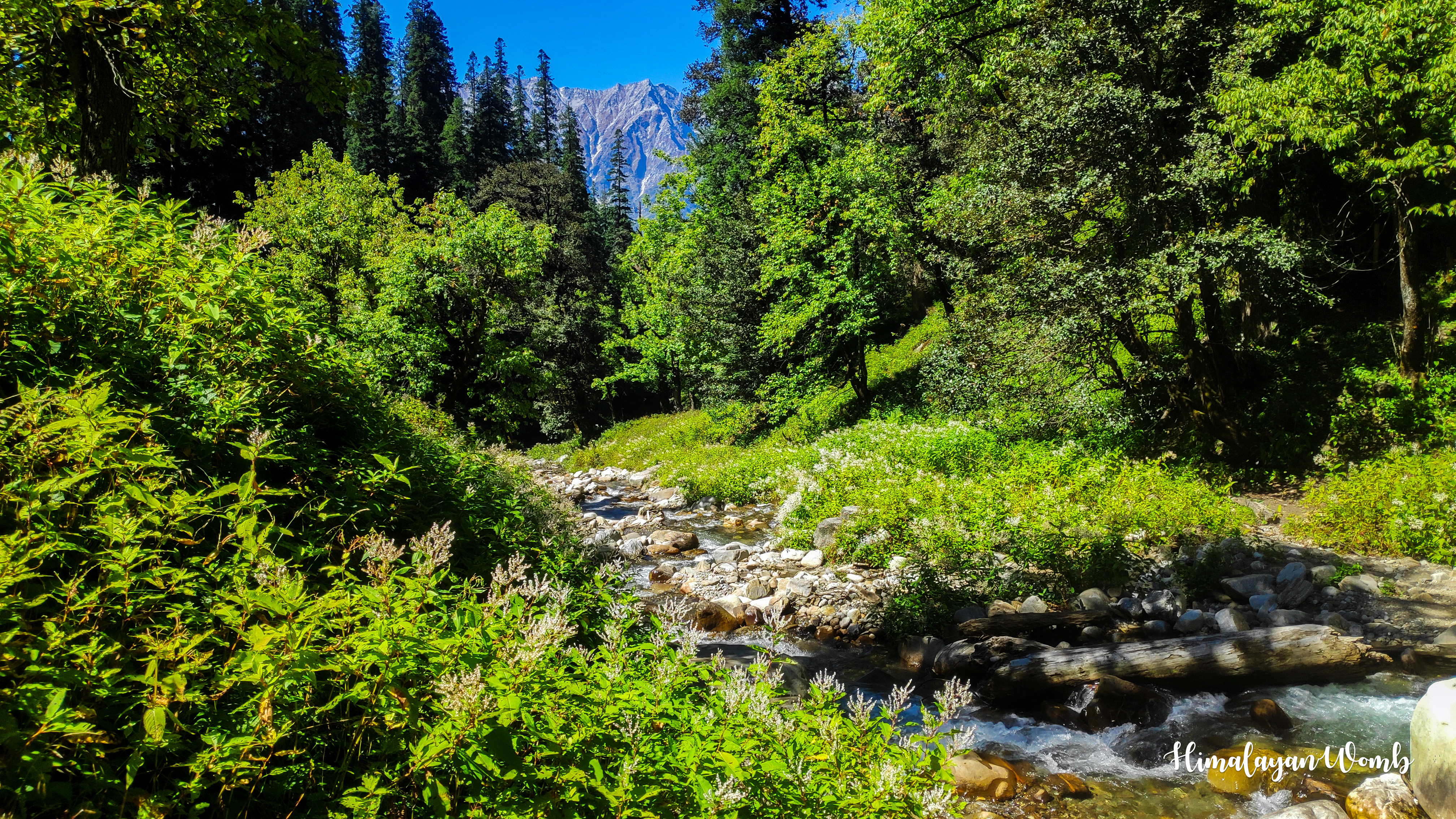
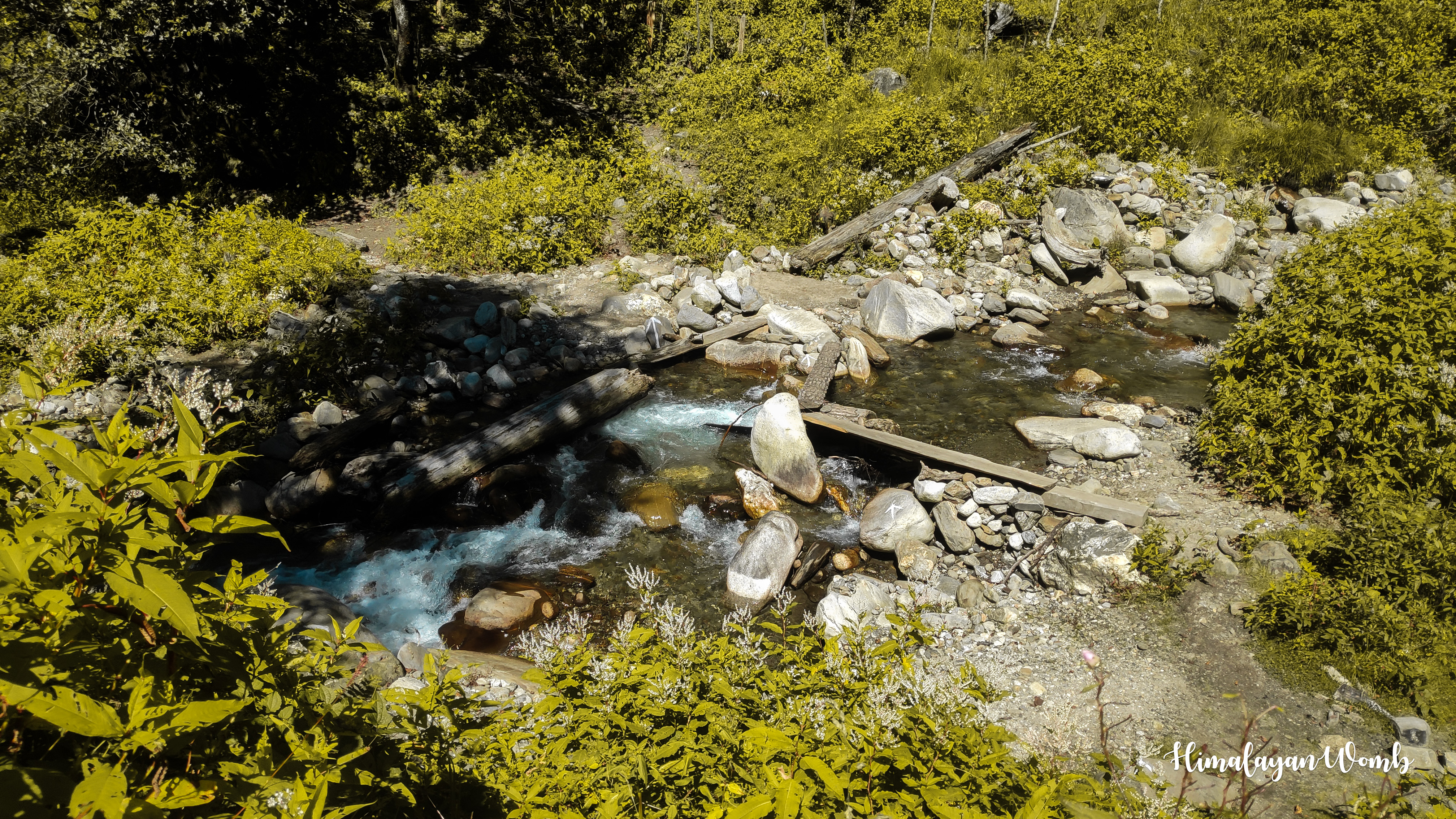
After crossing the school of Barua village, we soon cross the bridge over the Beas river and reach Nehru Kund. Moving ahead from Nehru Kund, we have to reach Vasishtha temple where we had done recce of the route two days ago. The distance till here is 5 km which we covered in 2 hours. Reaching Vasishtha temple is not as challenging as reaching Mori Dug. Now we have to climb the death climb which has an elevation gain of 969 meters in just 2.61 km.
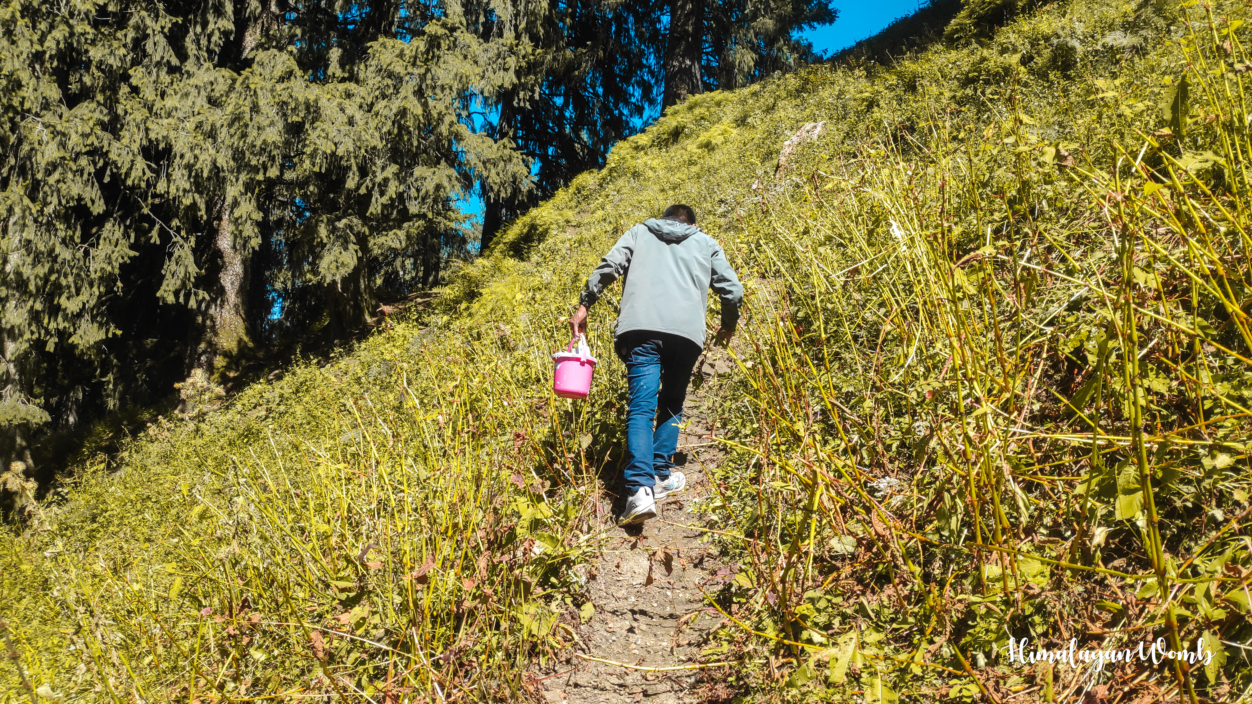
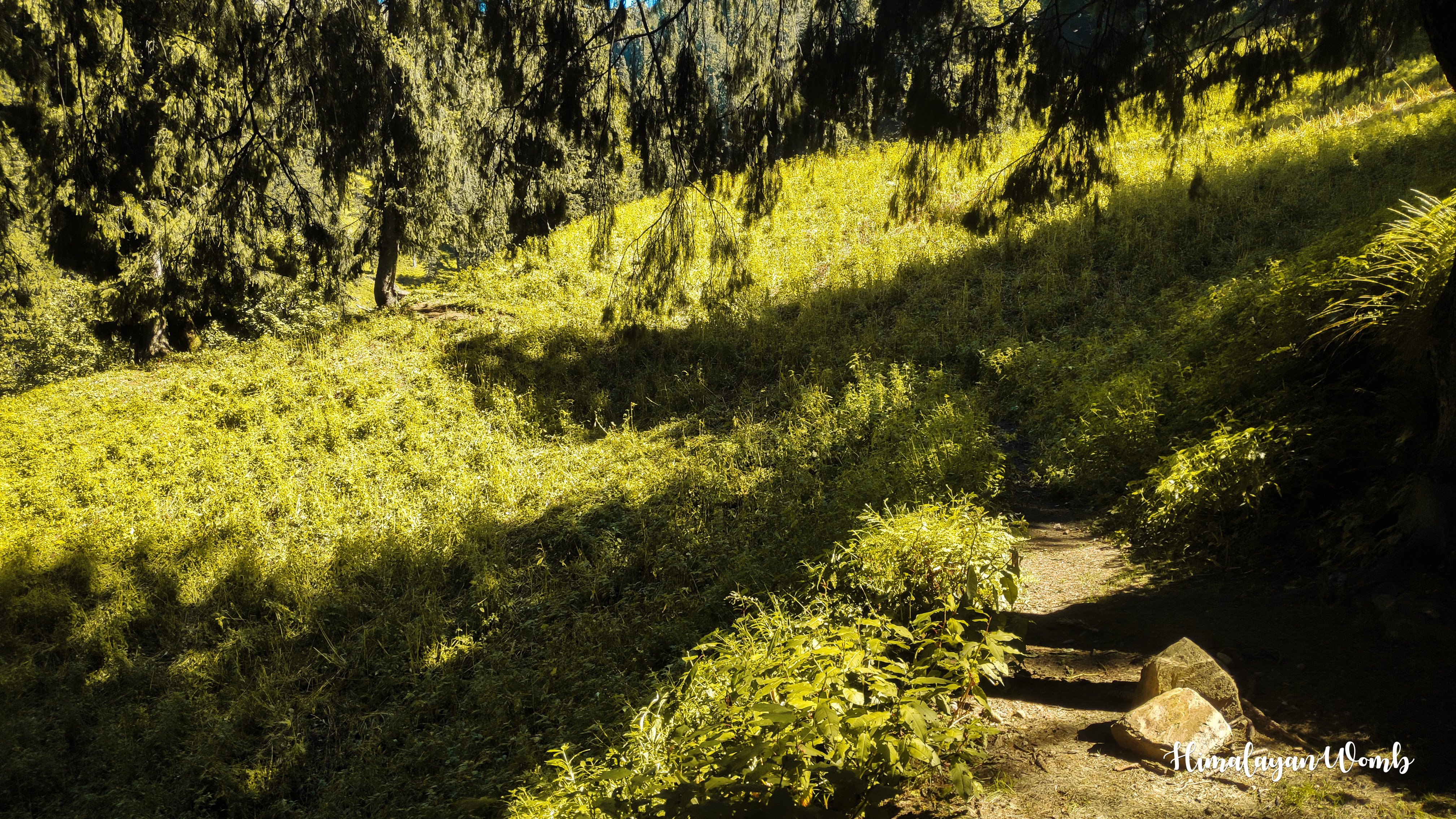
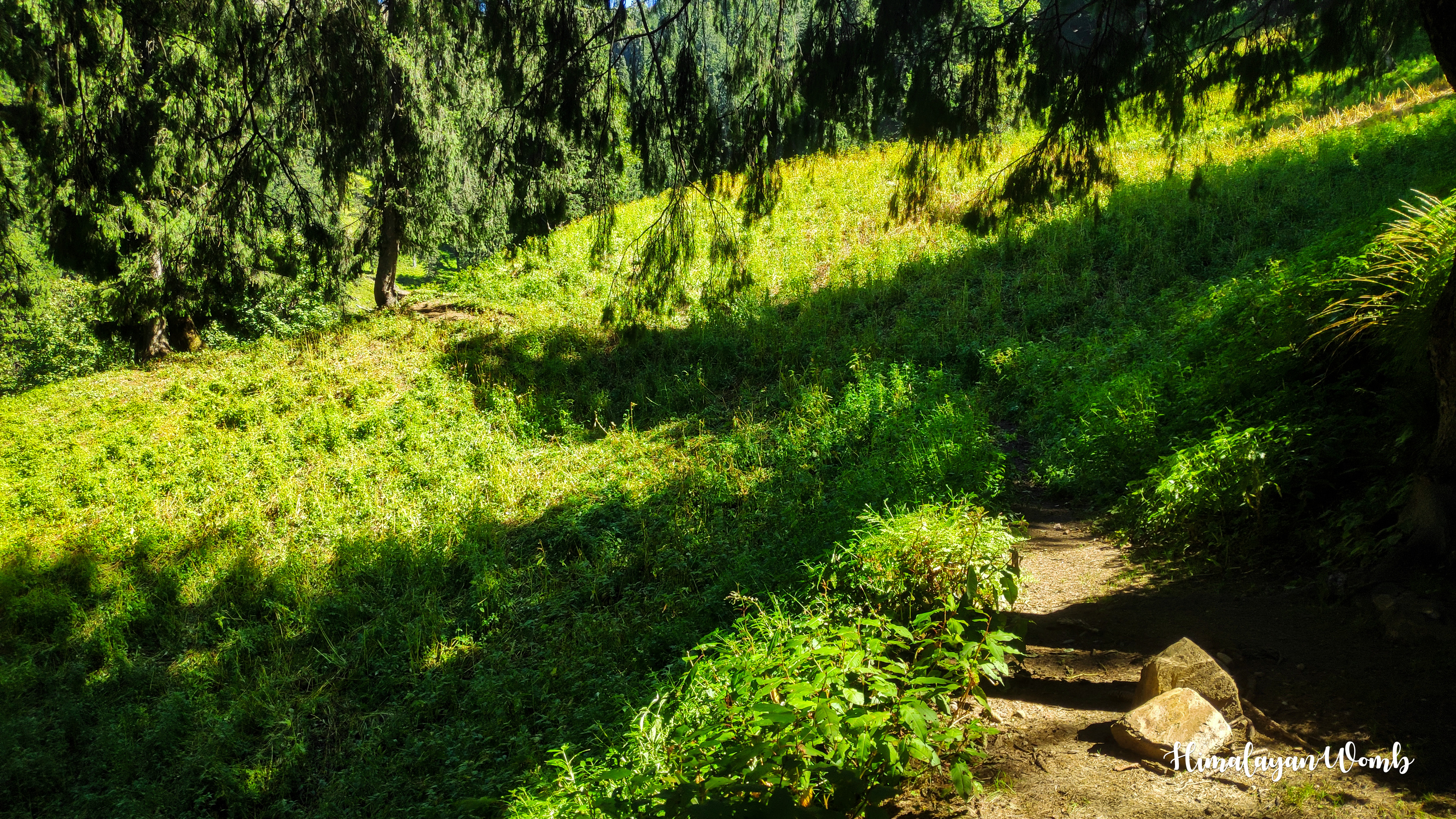
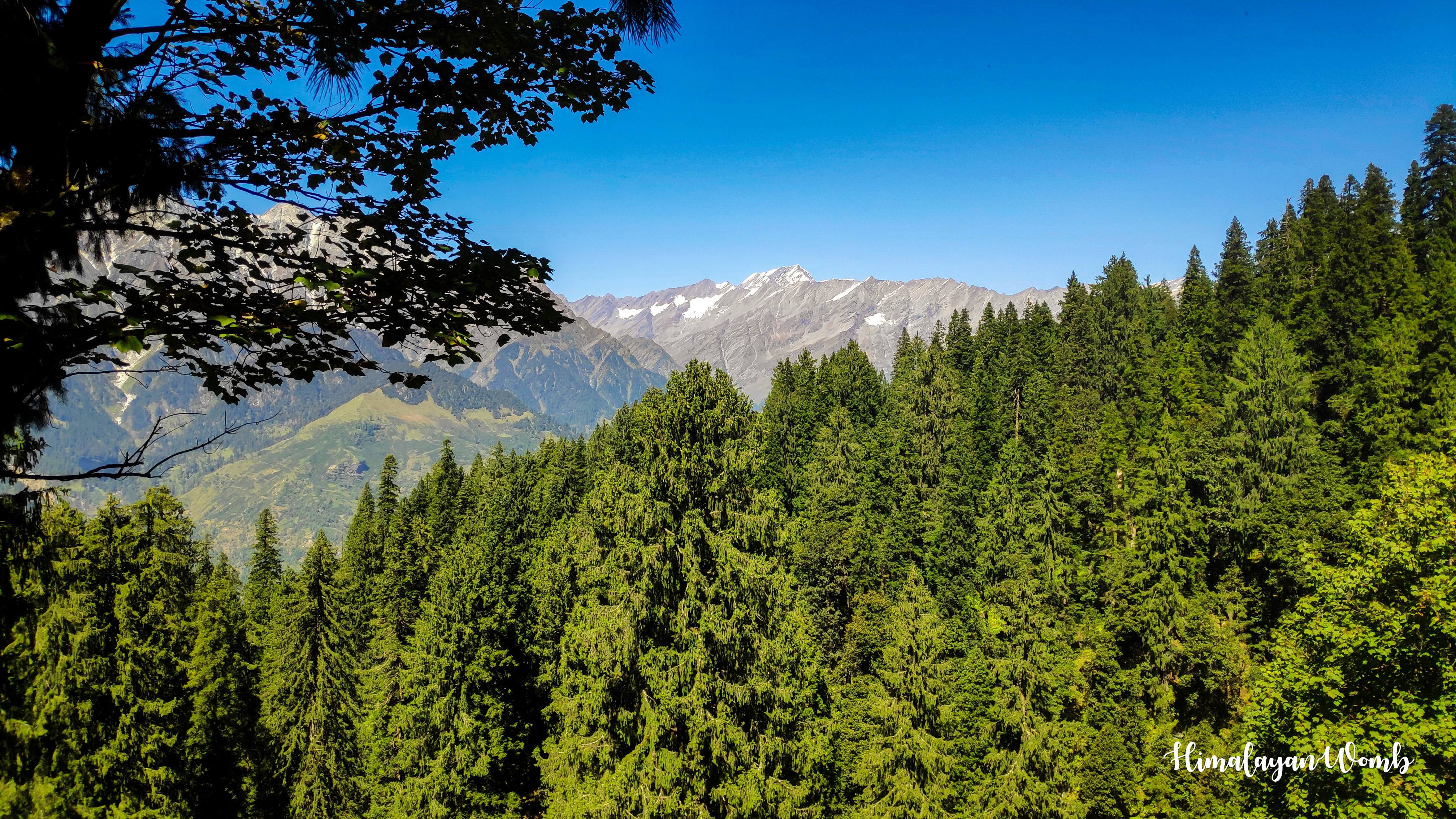
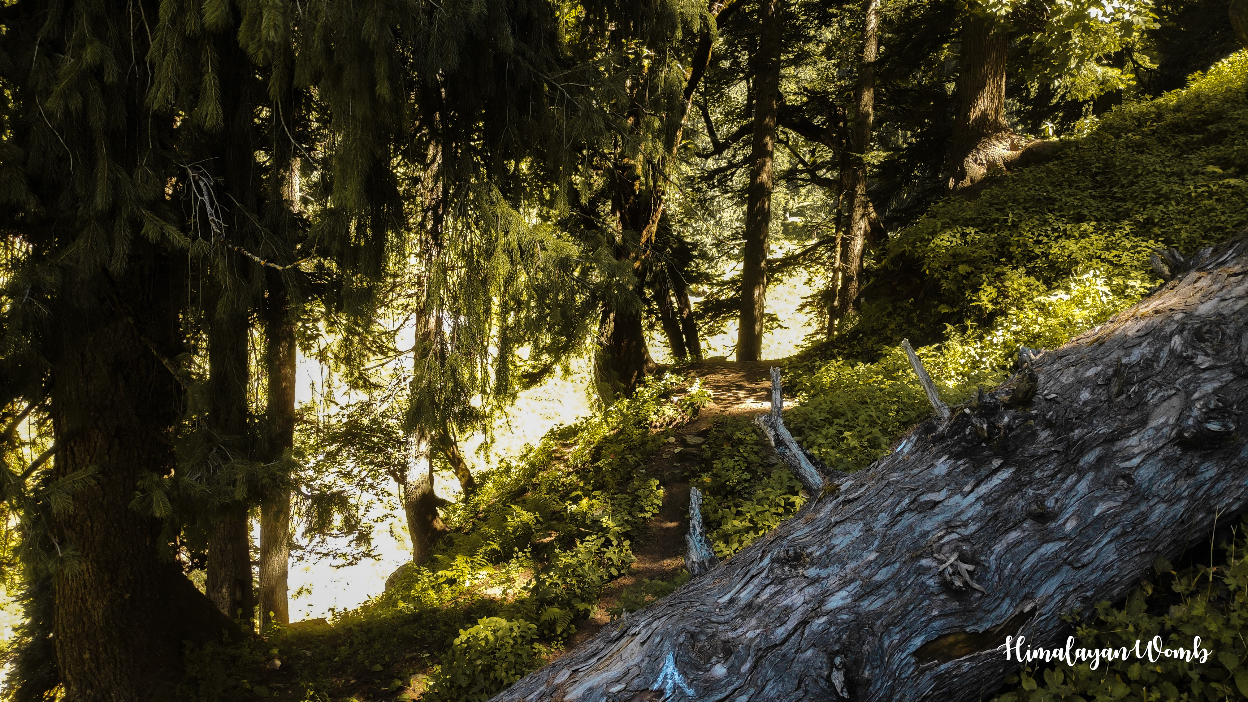
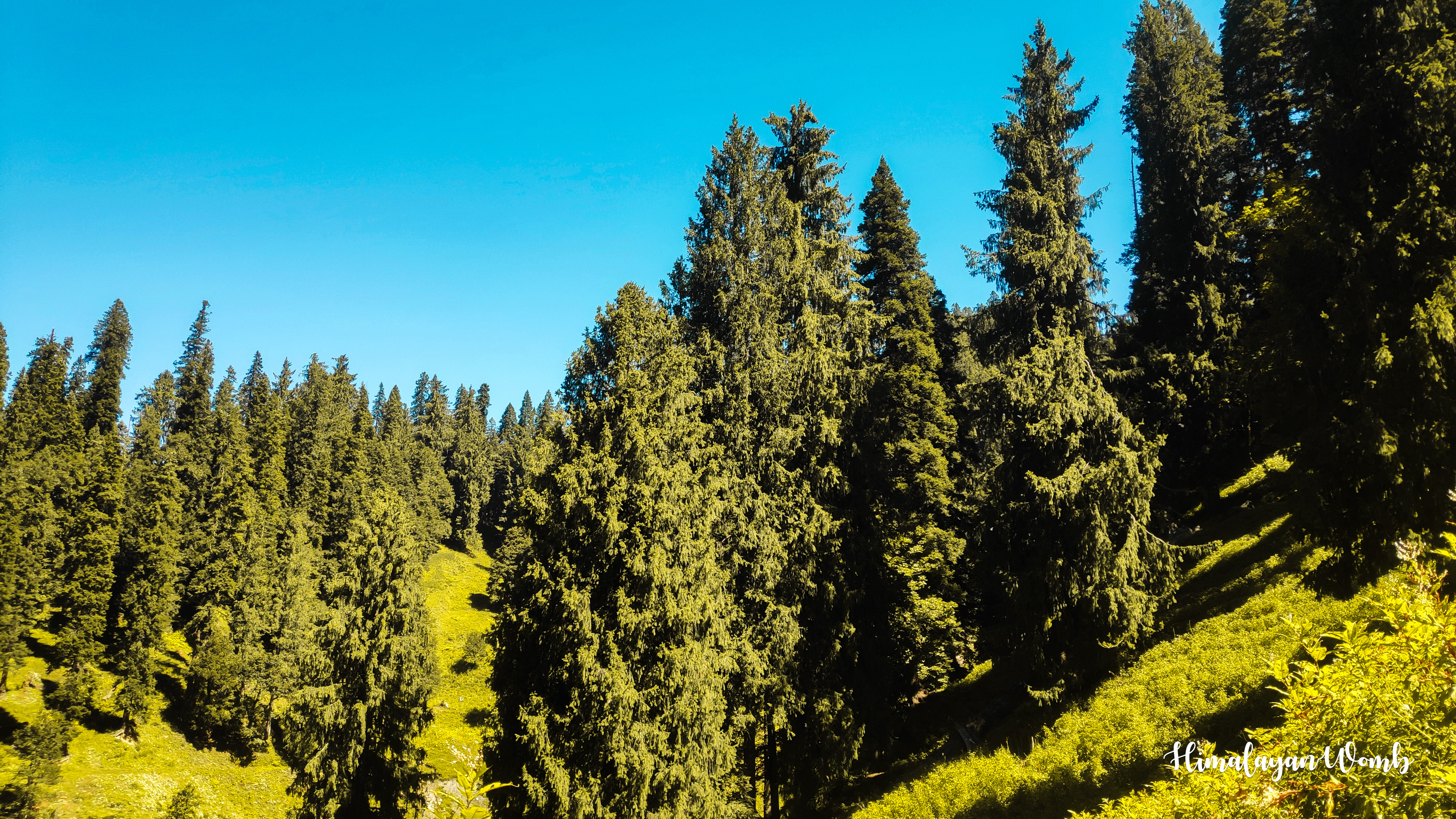
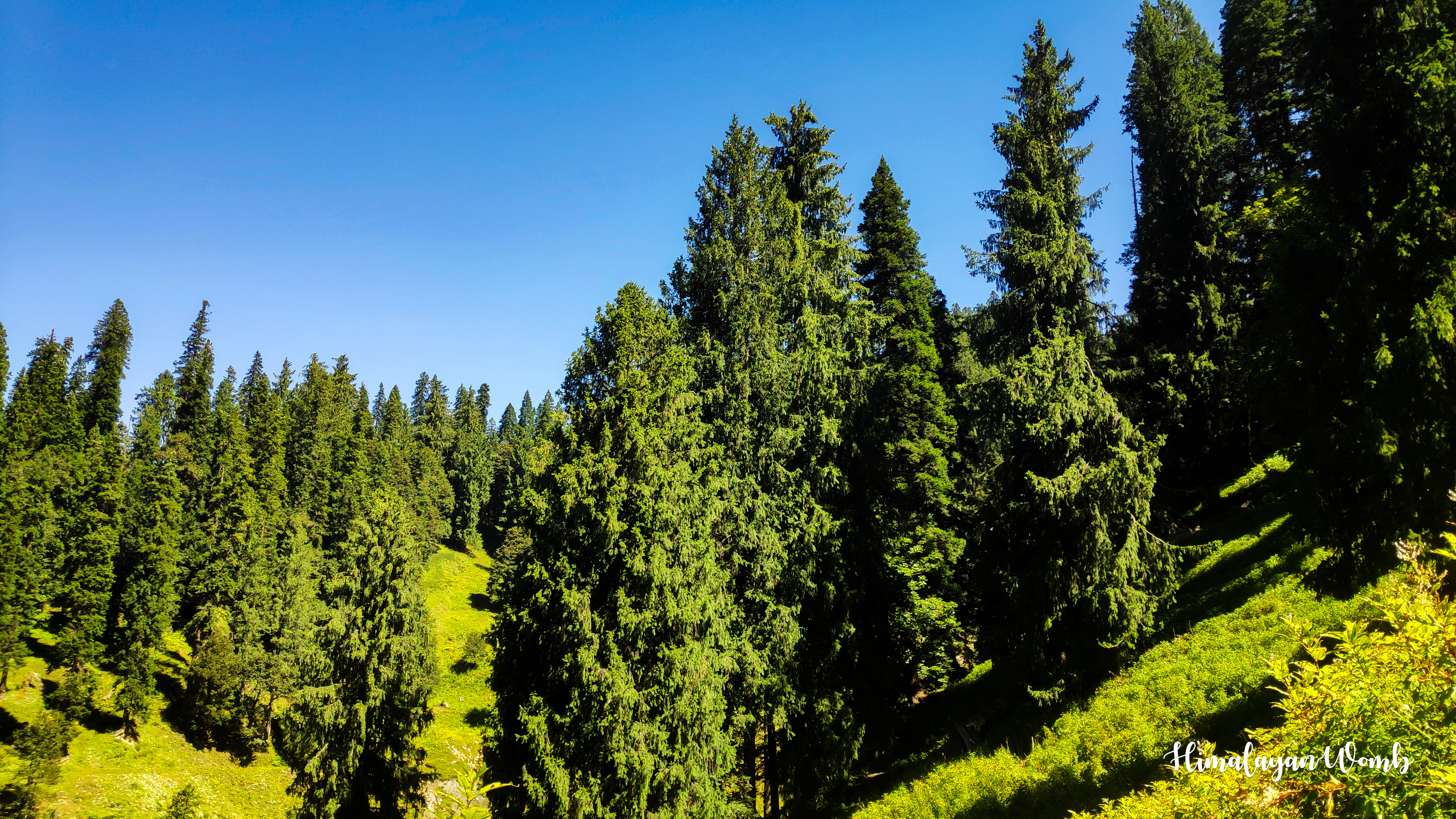
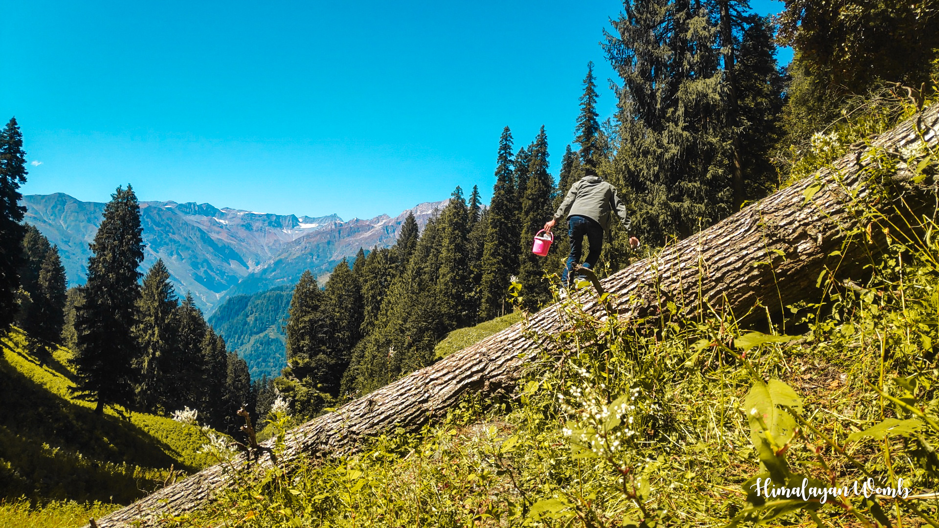
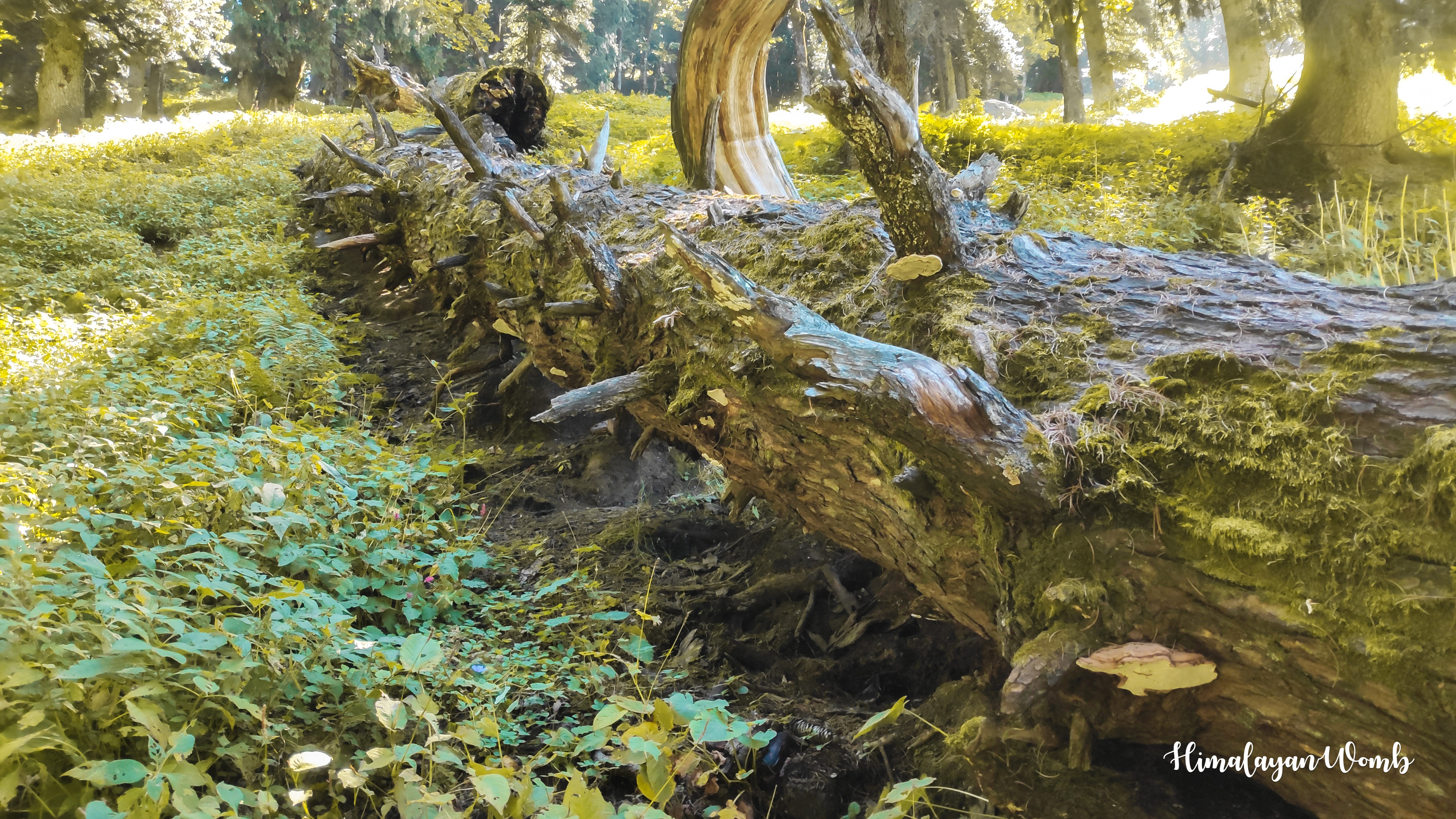
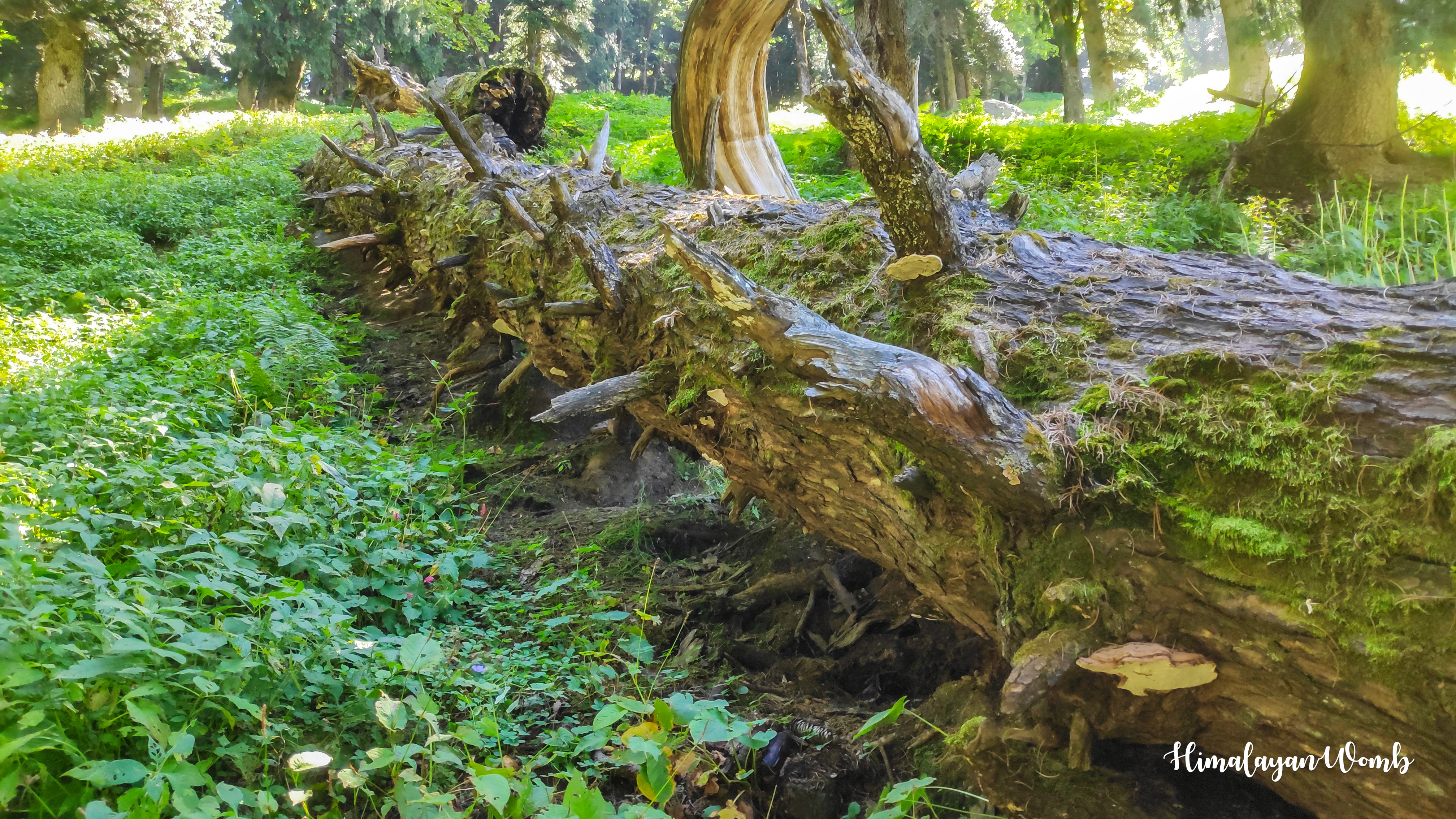
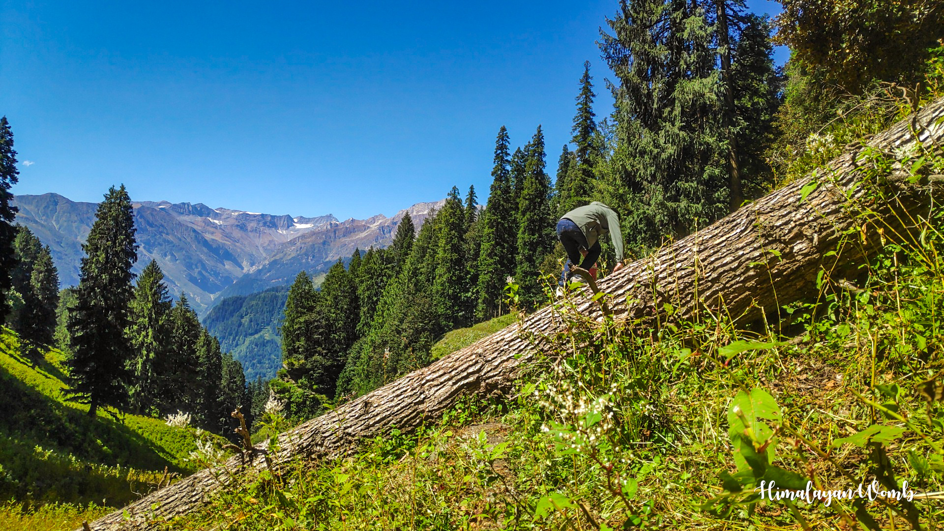
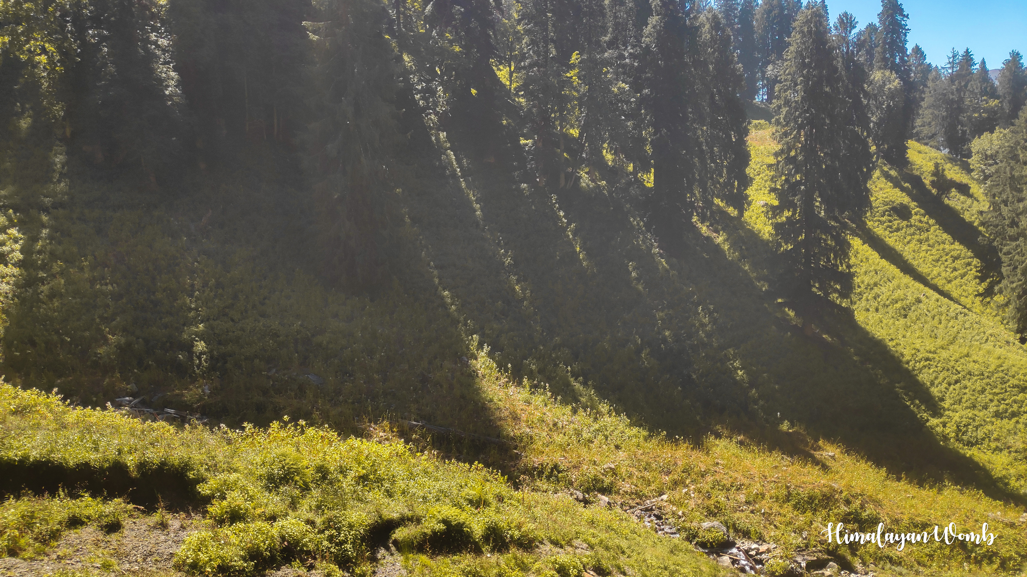
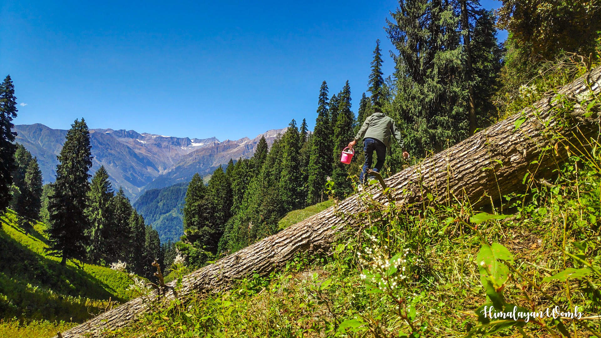
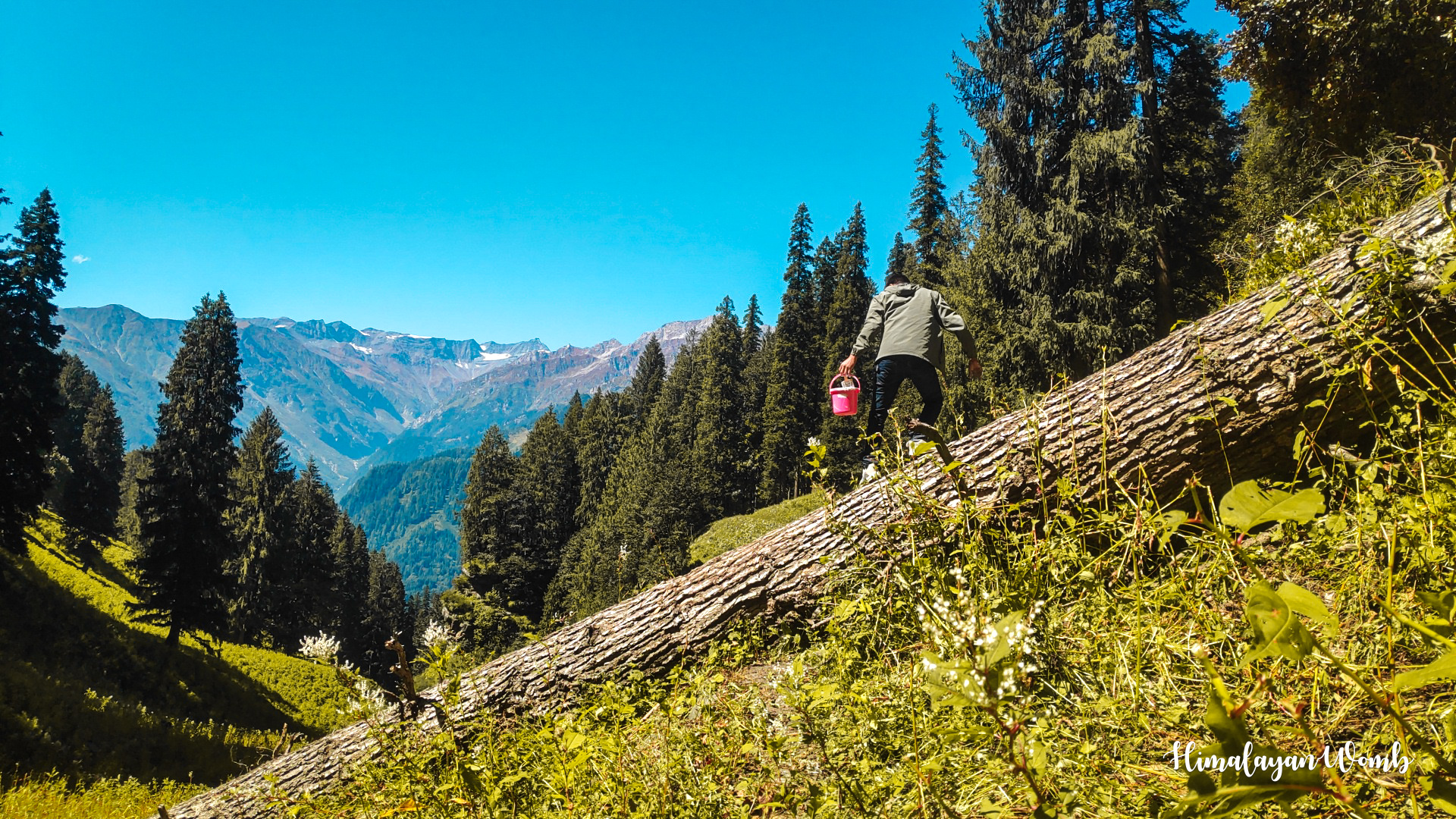
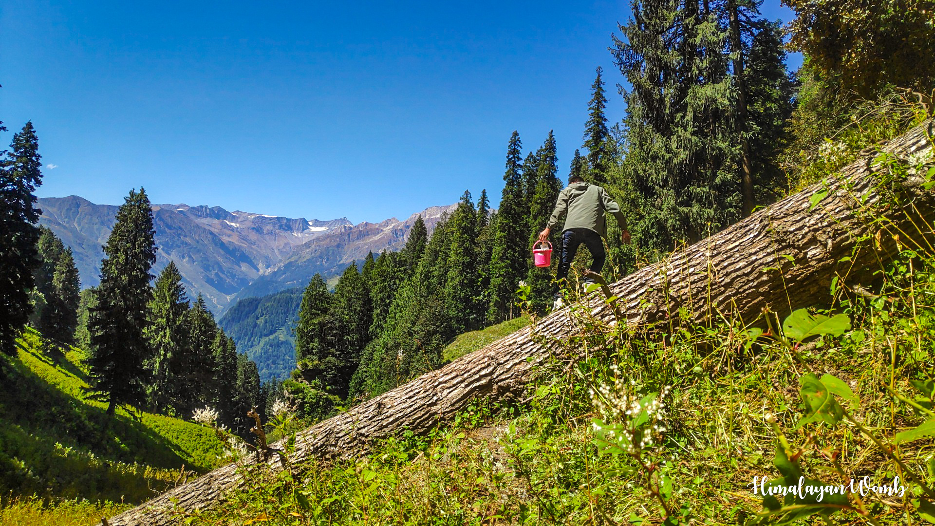
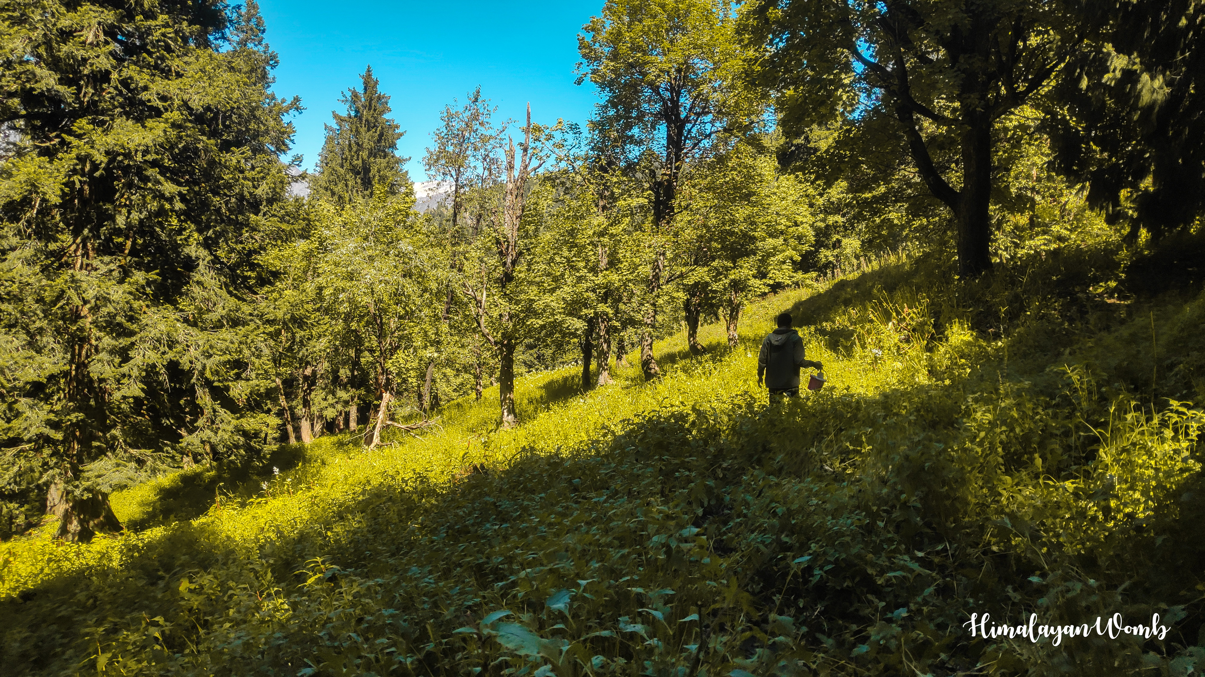
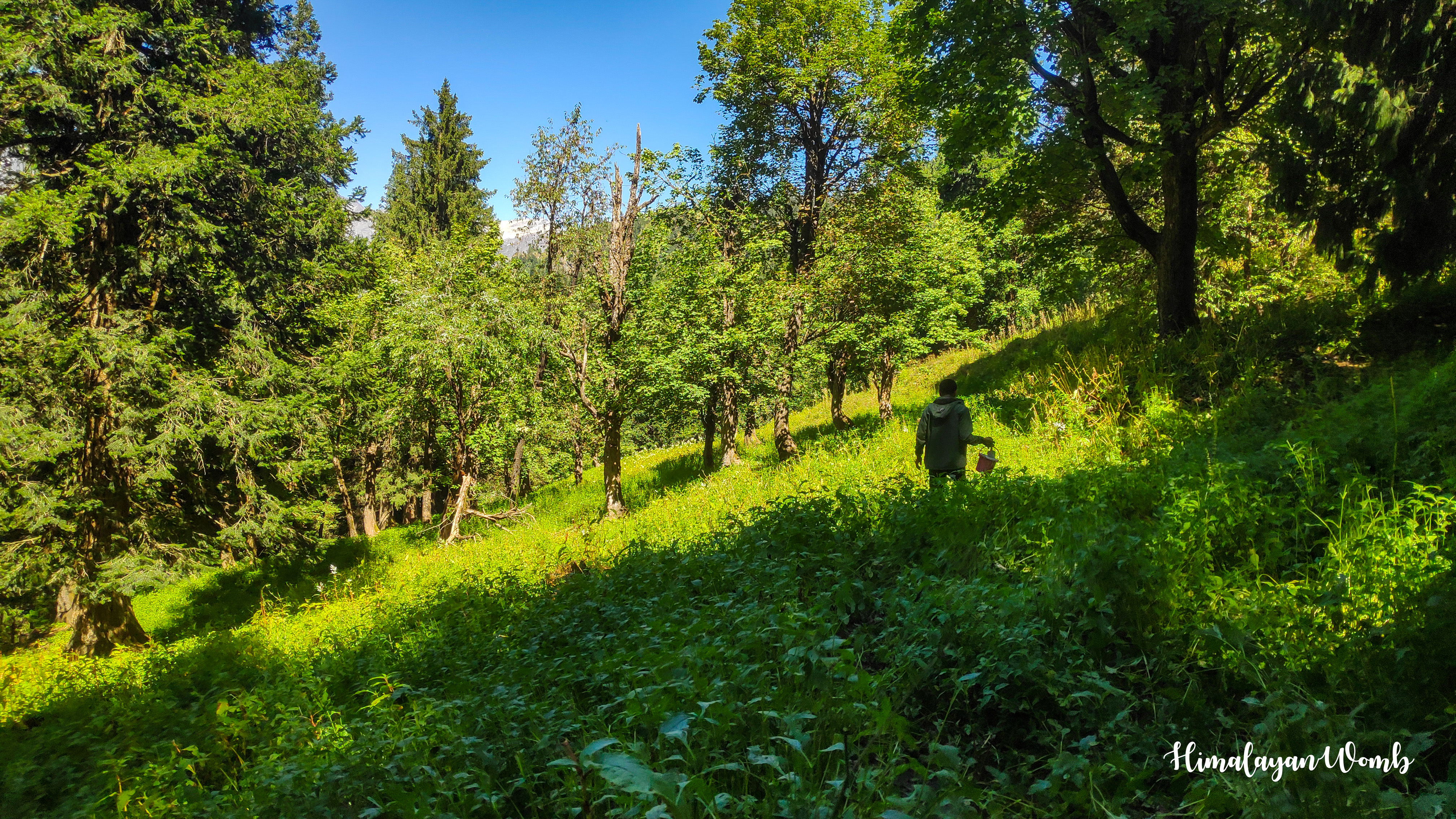
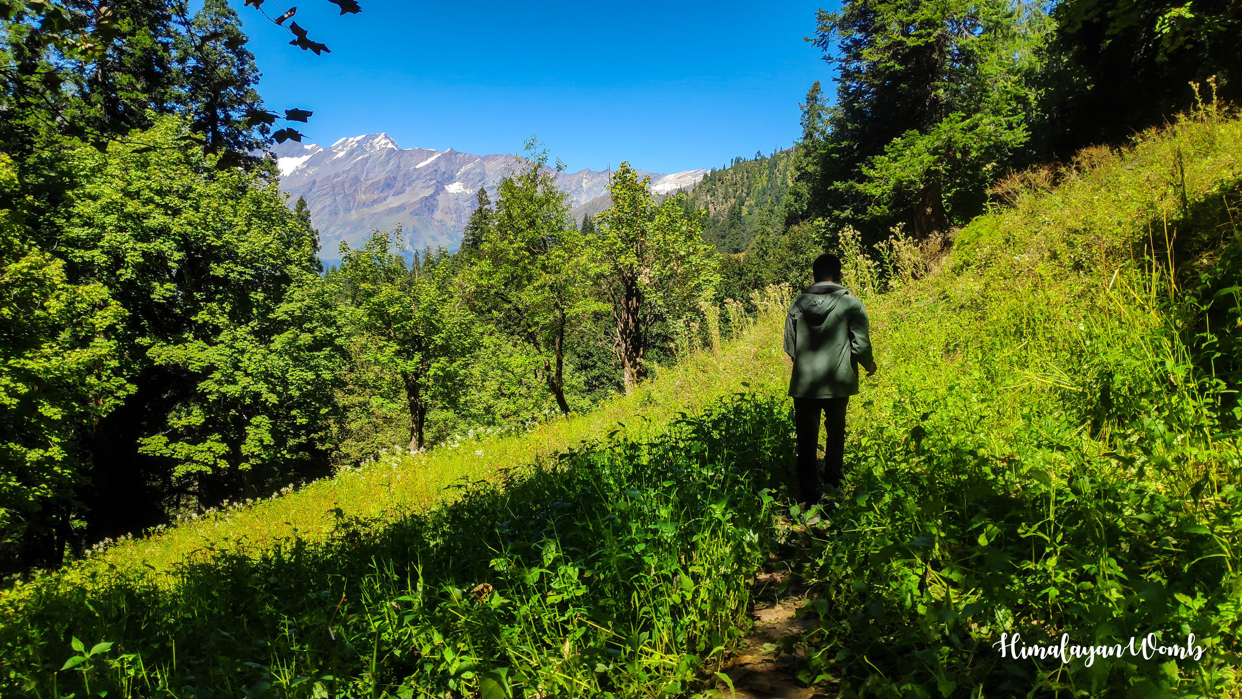
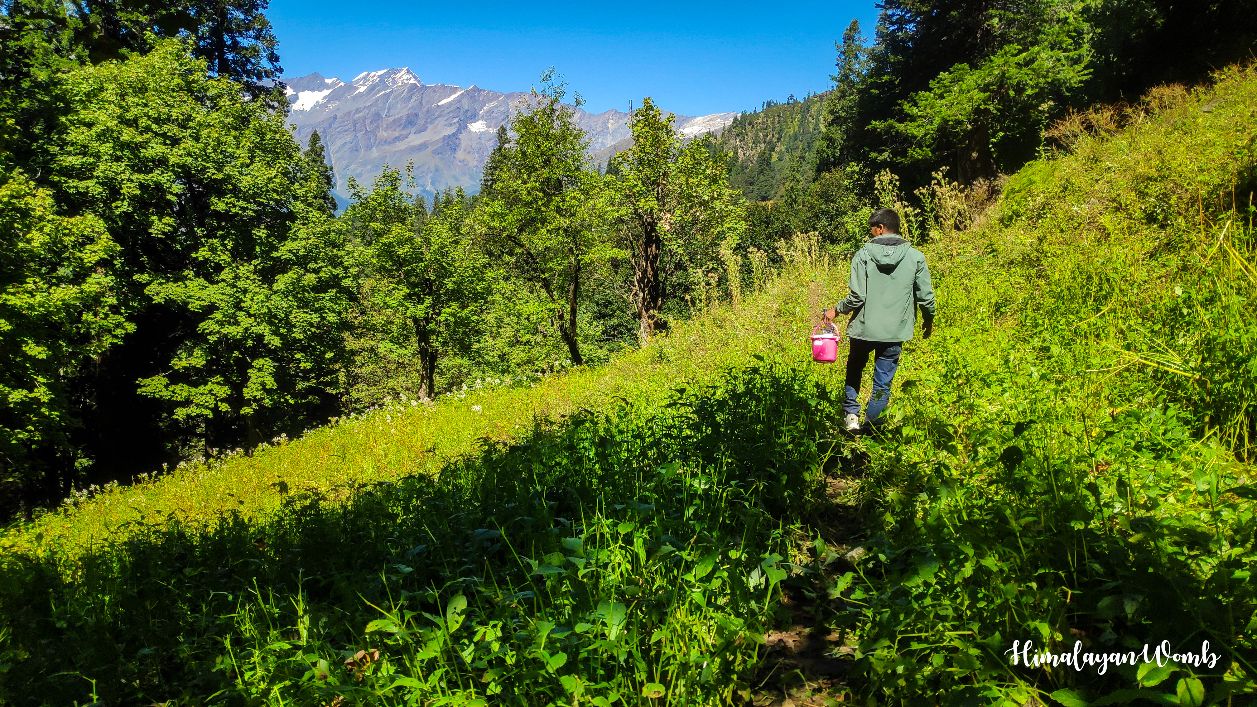
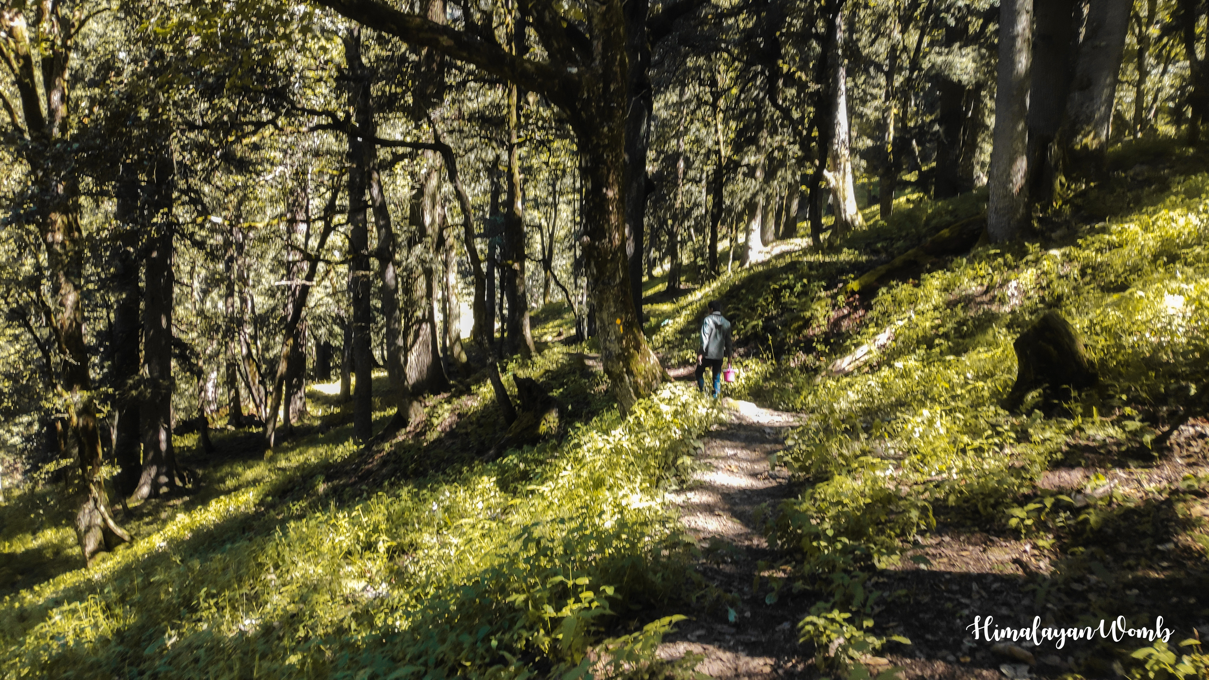
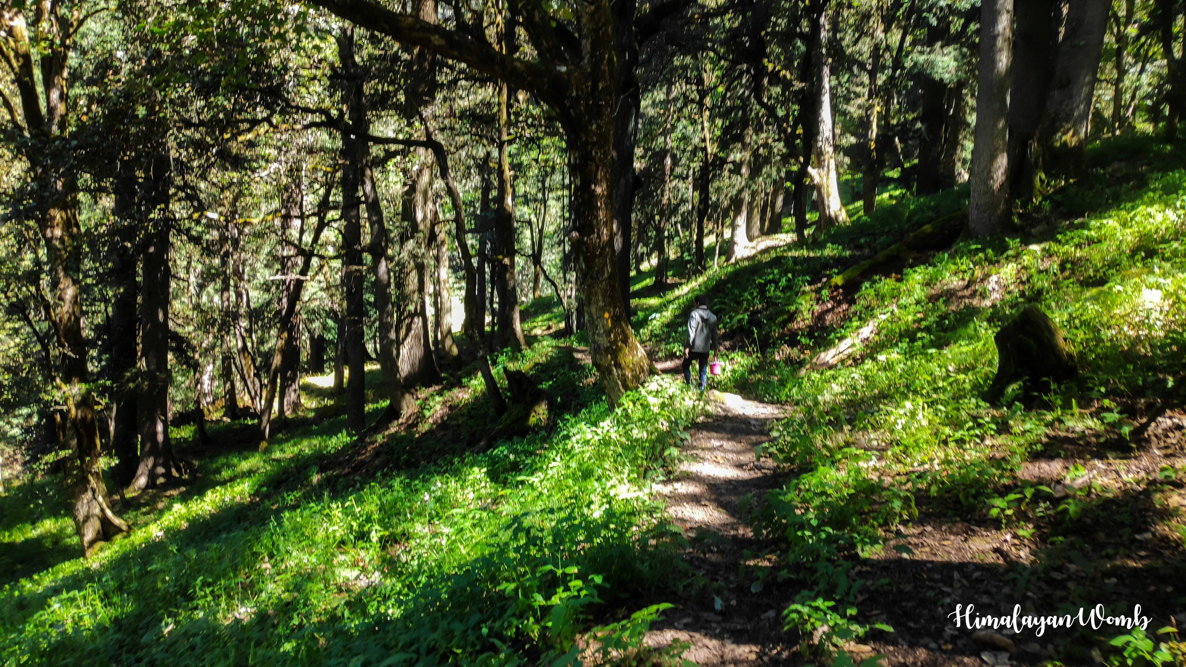
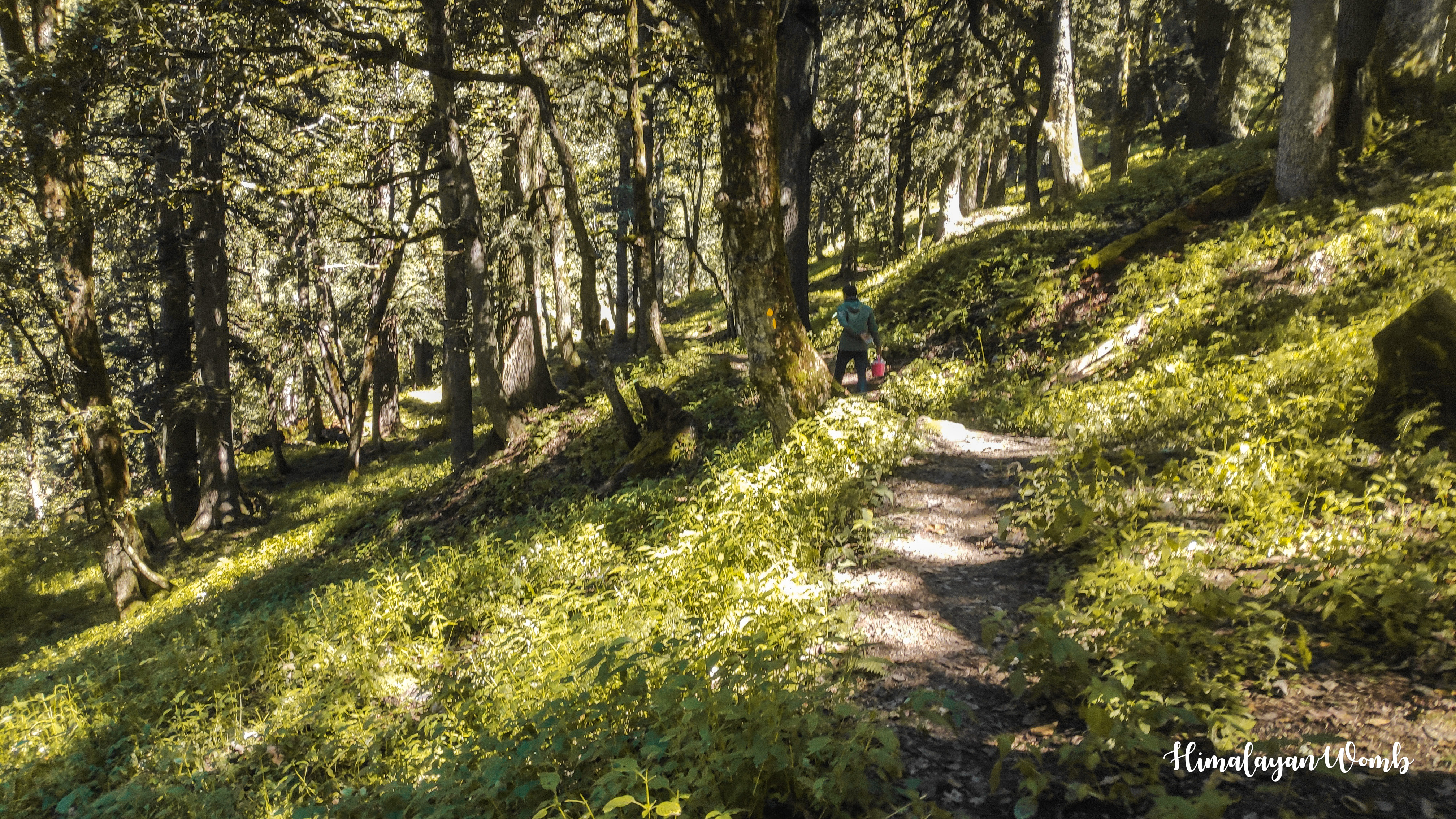
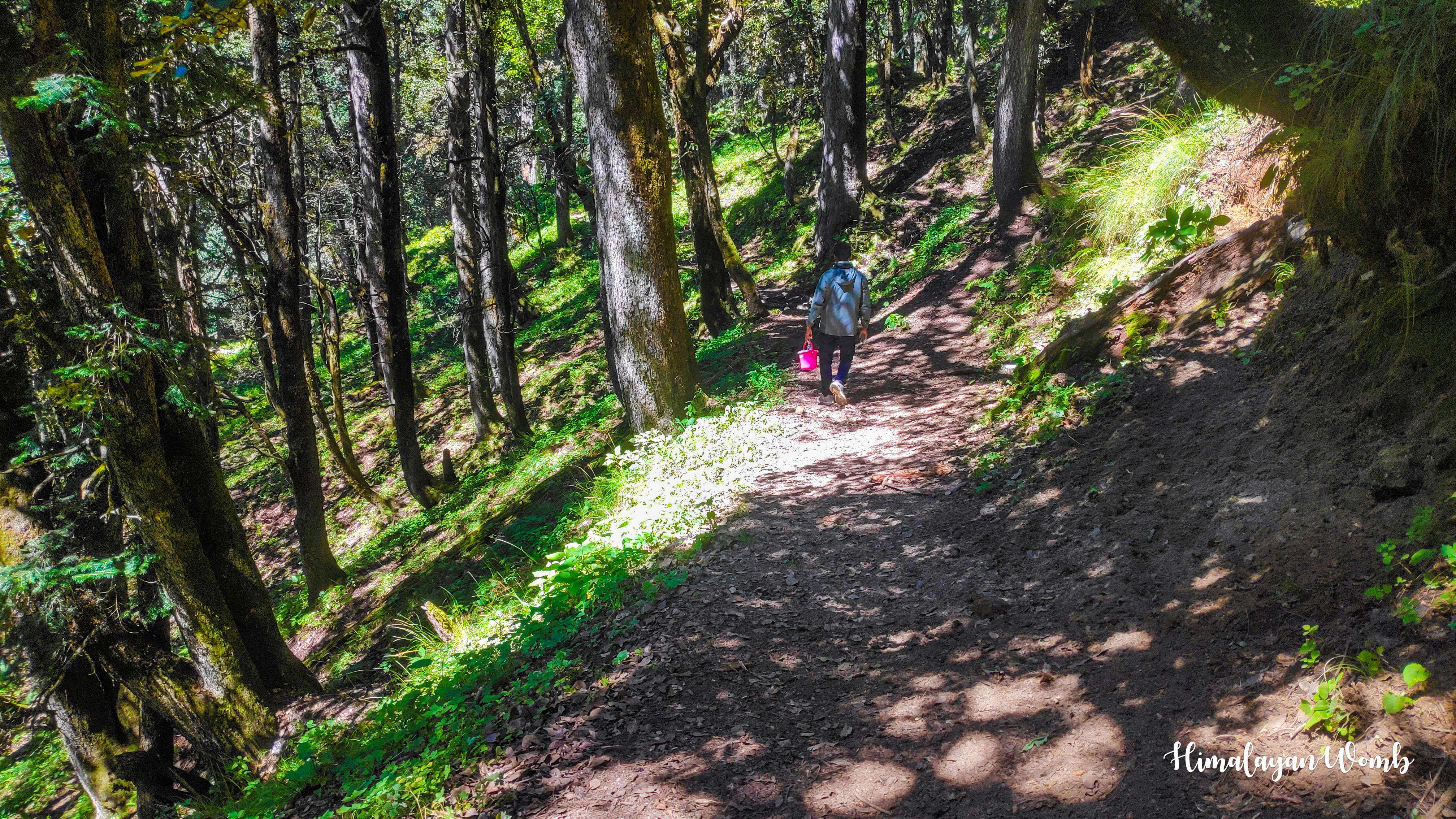
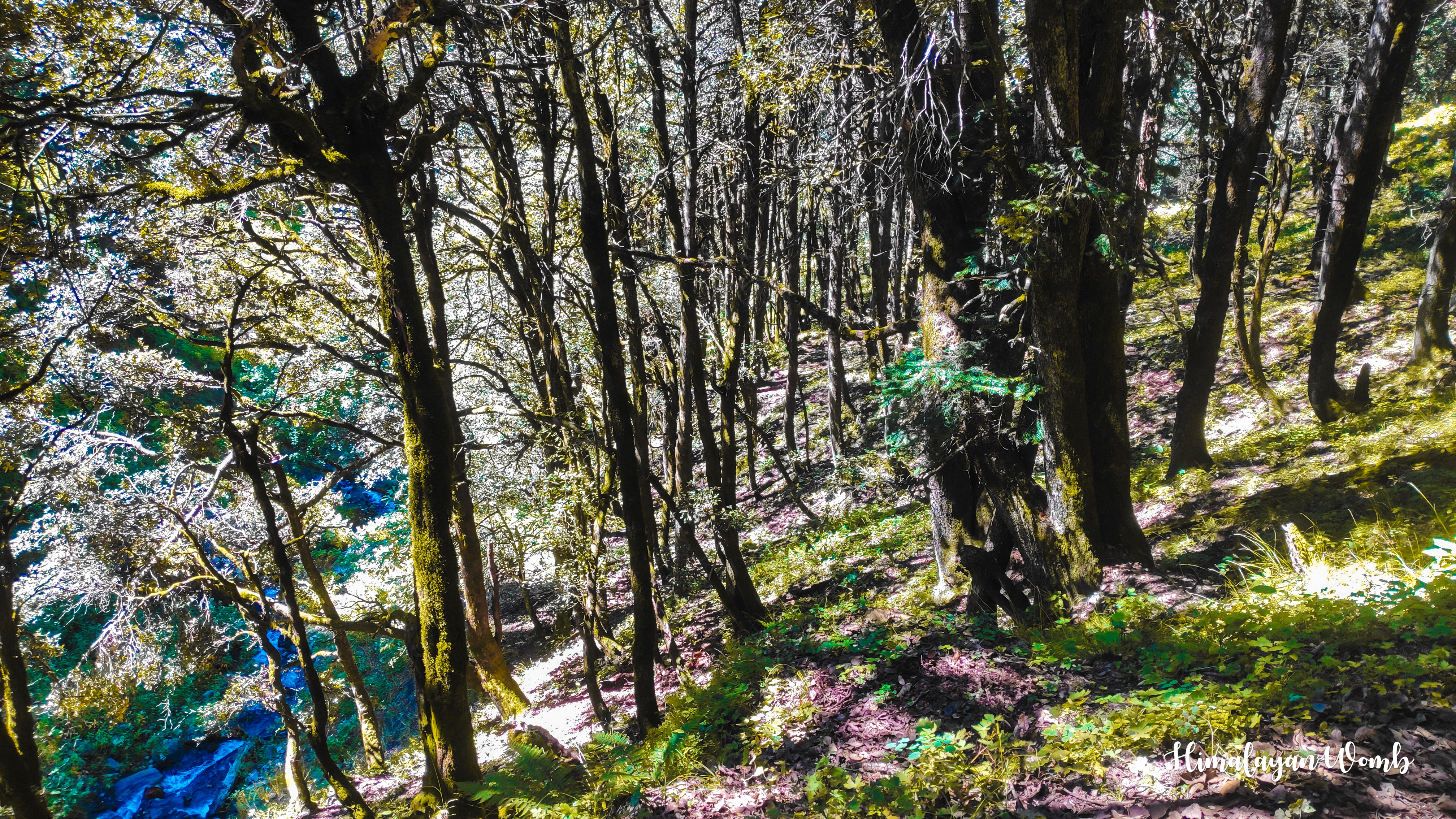
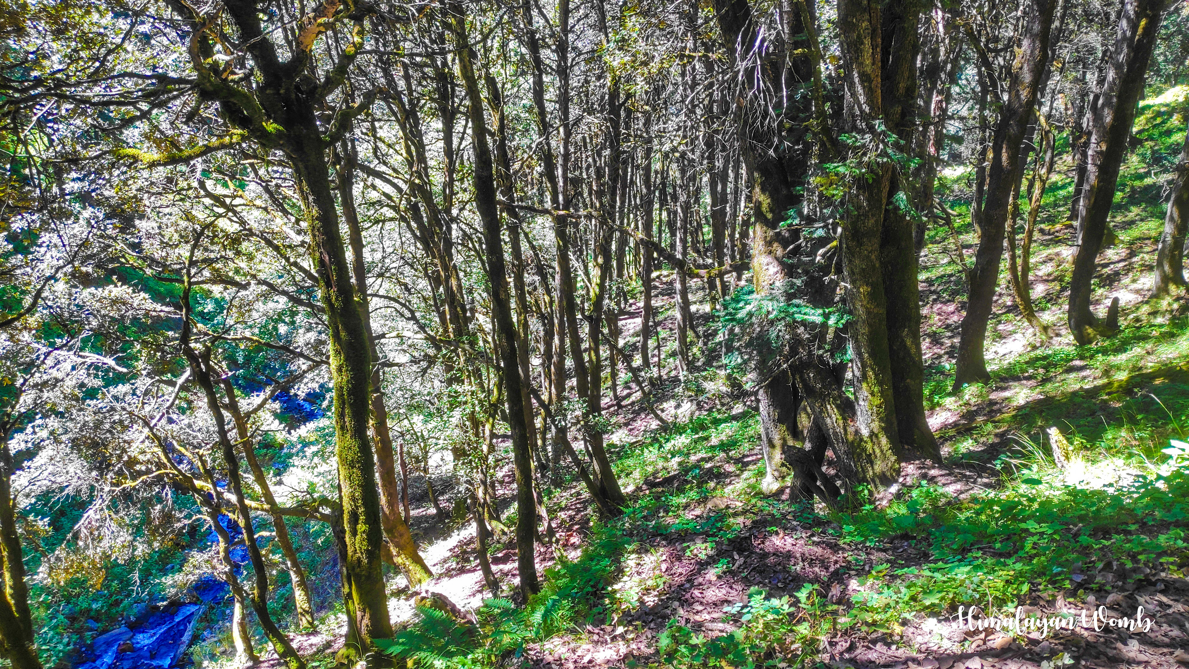
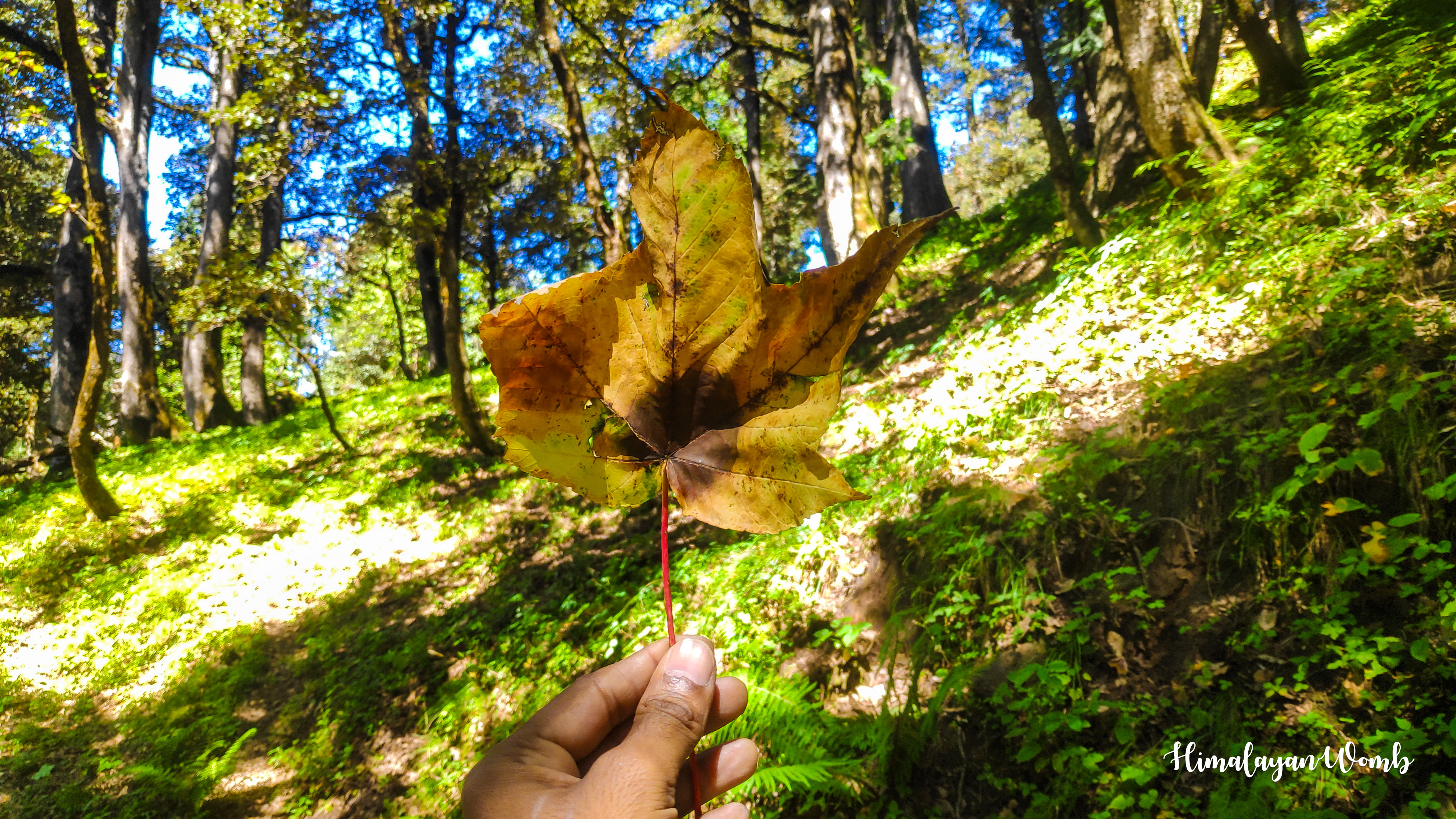
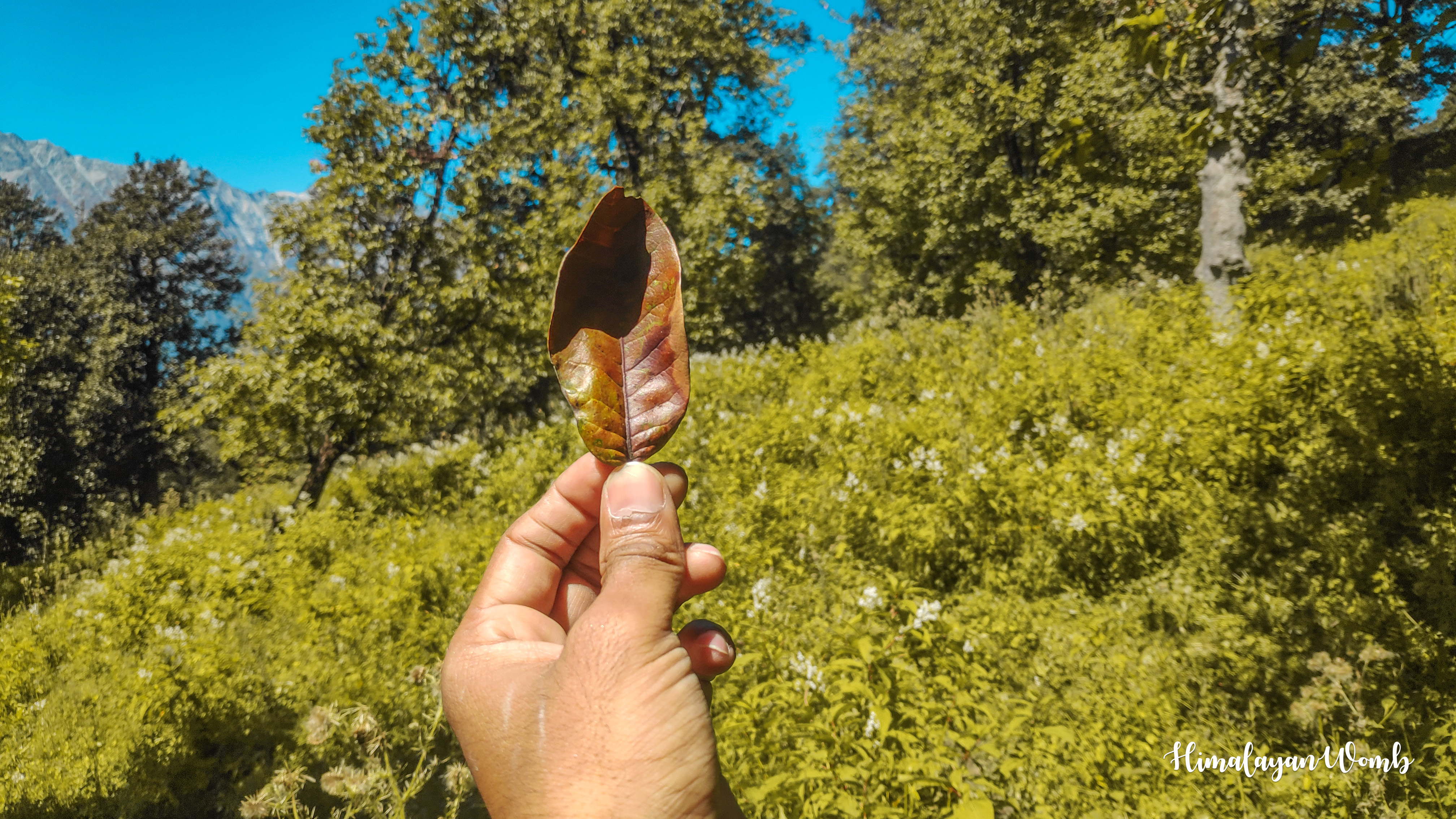
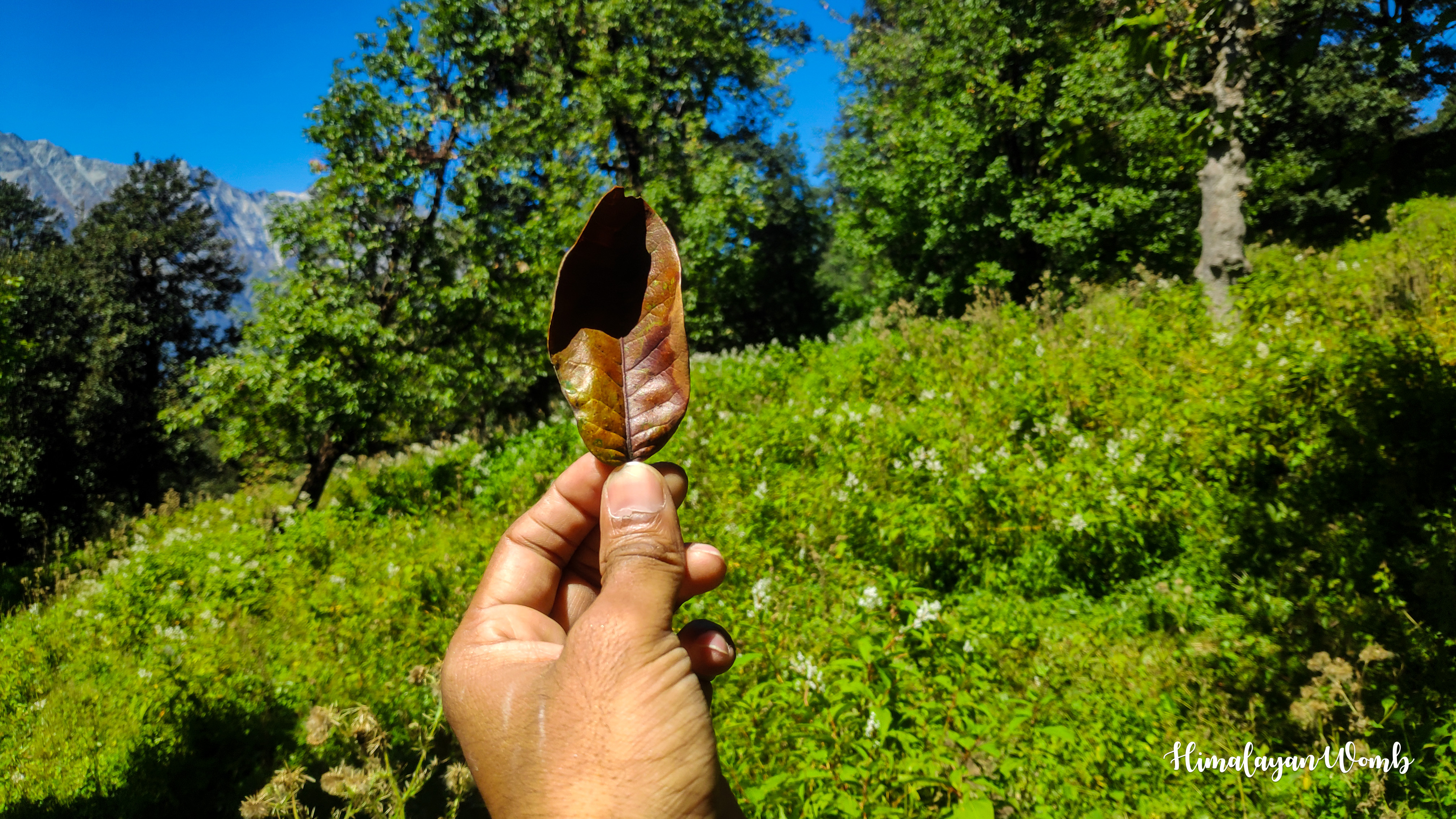
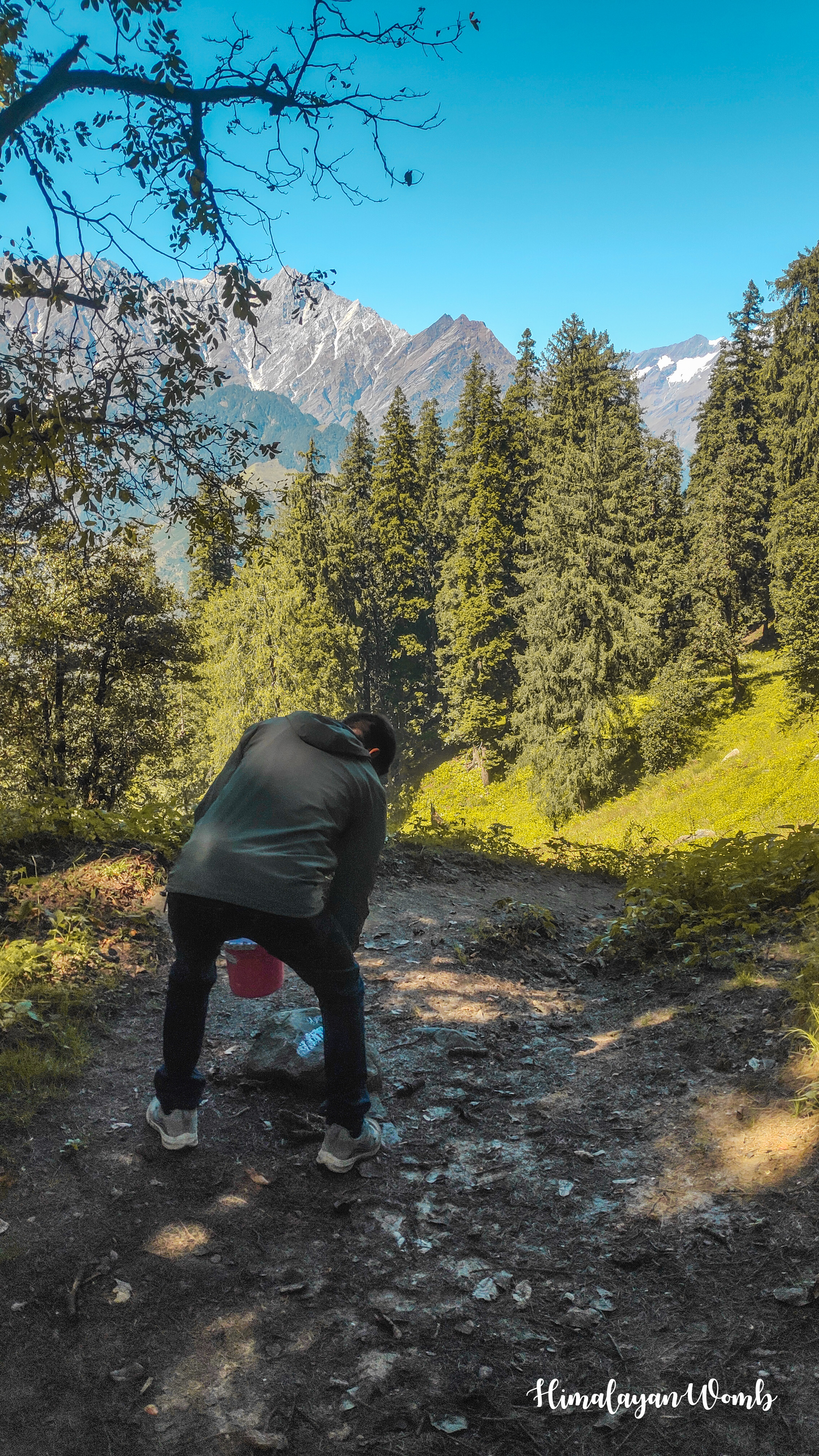
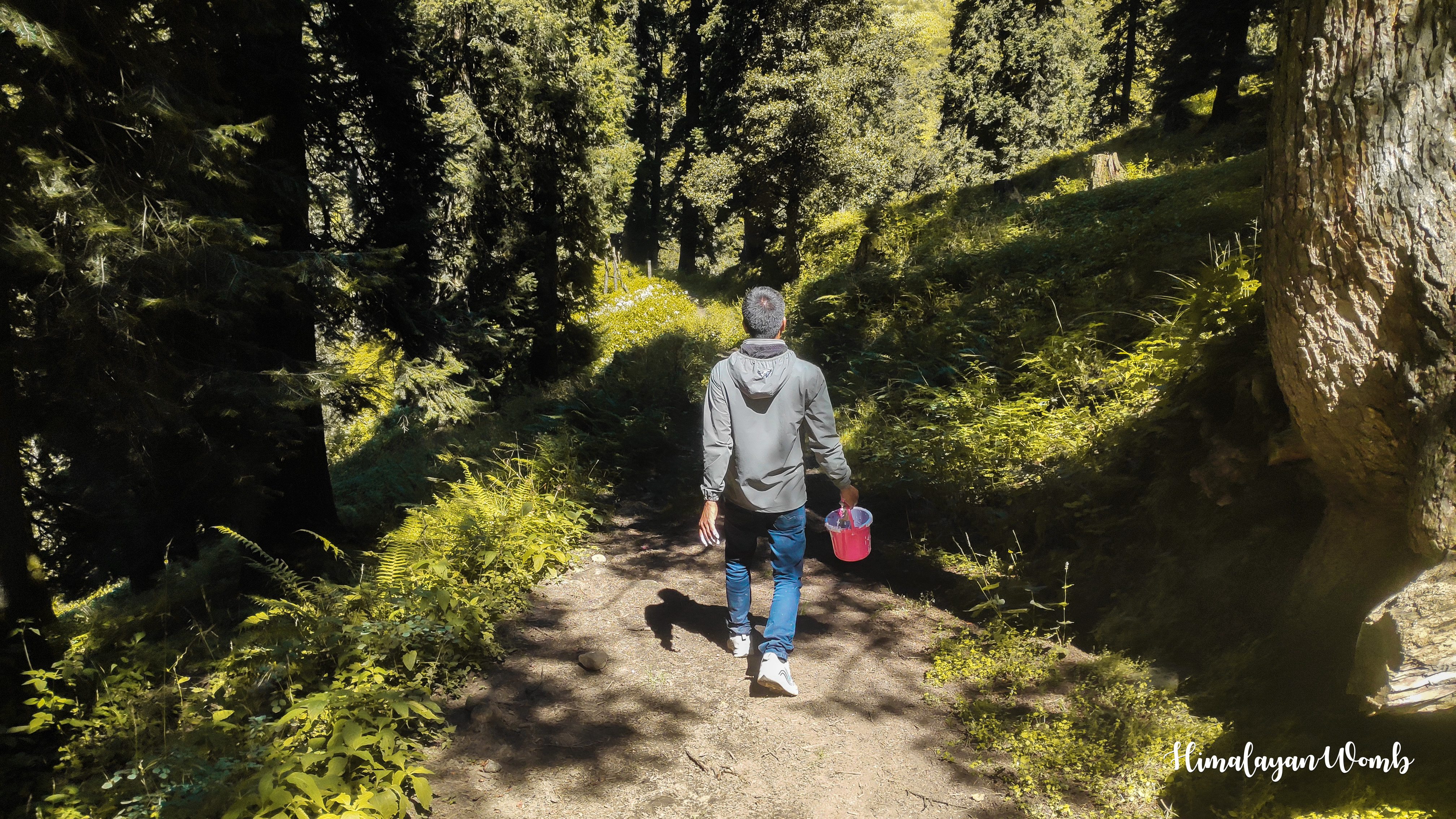
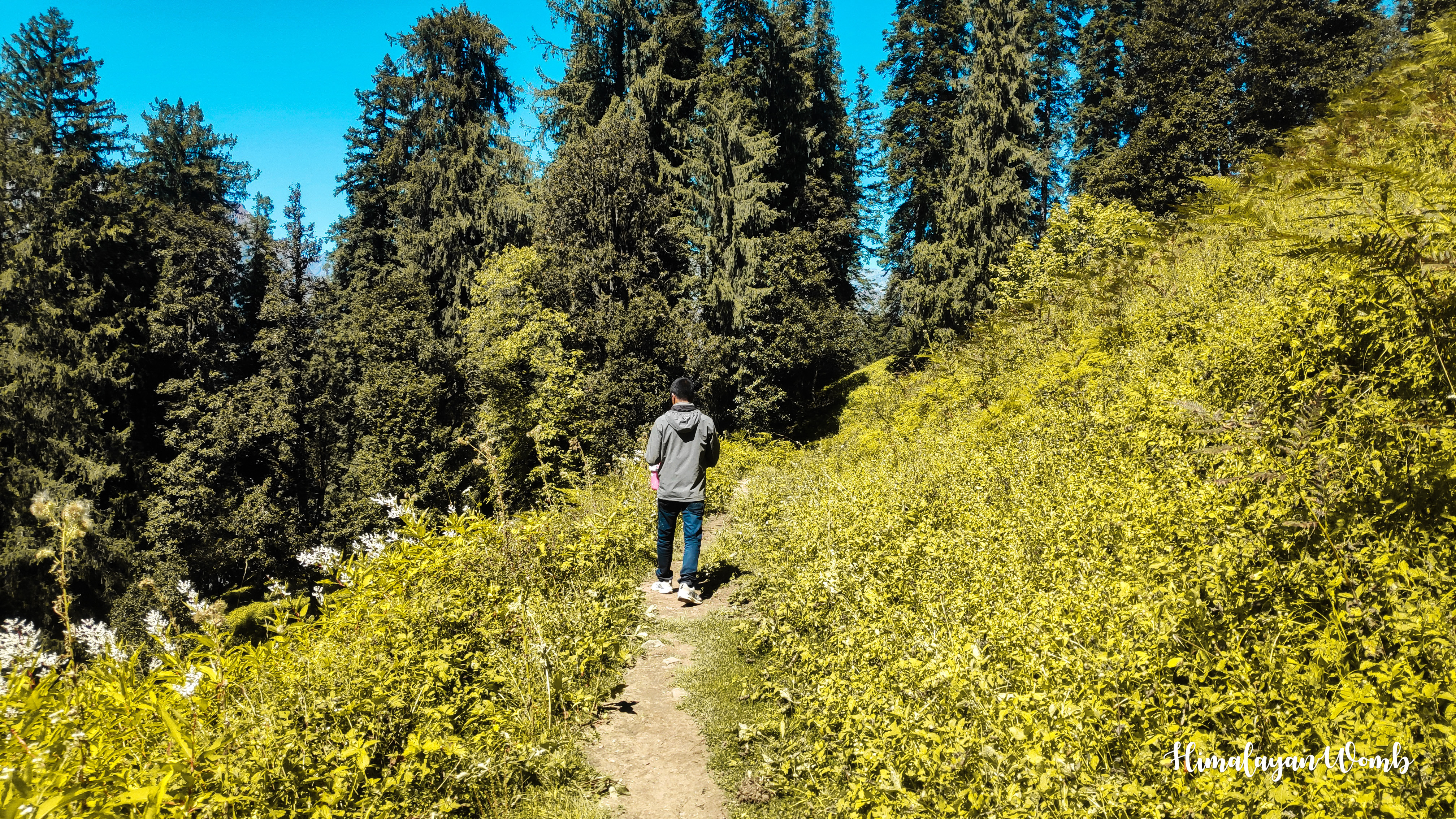
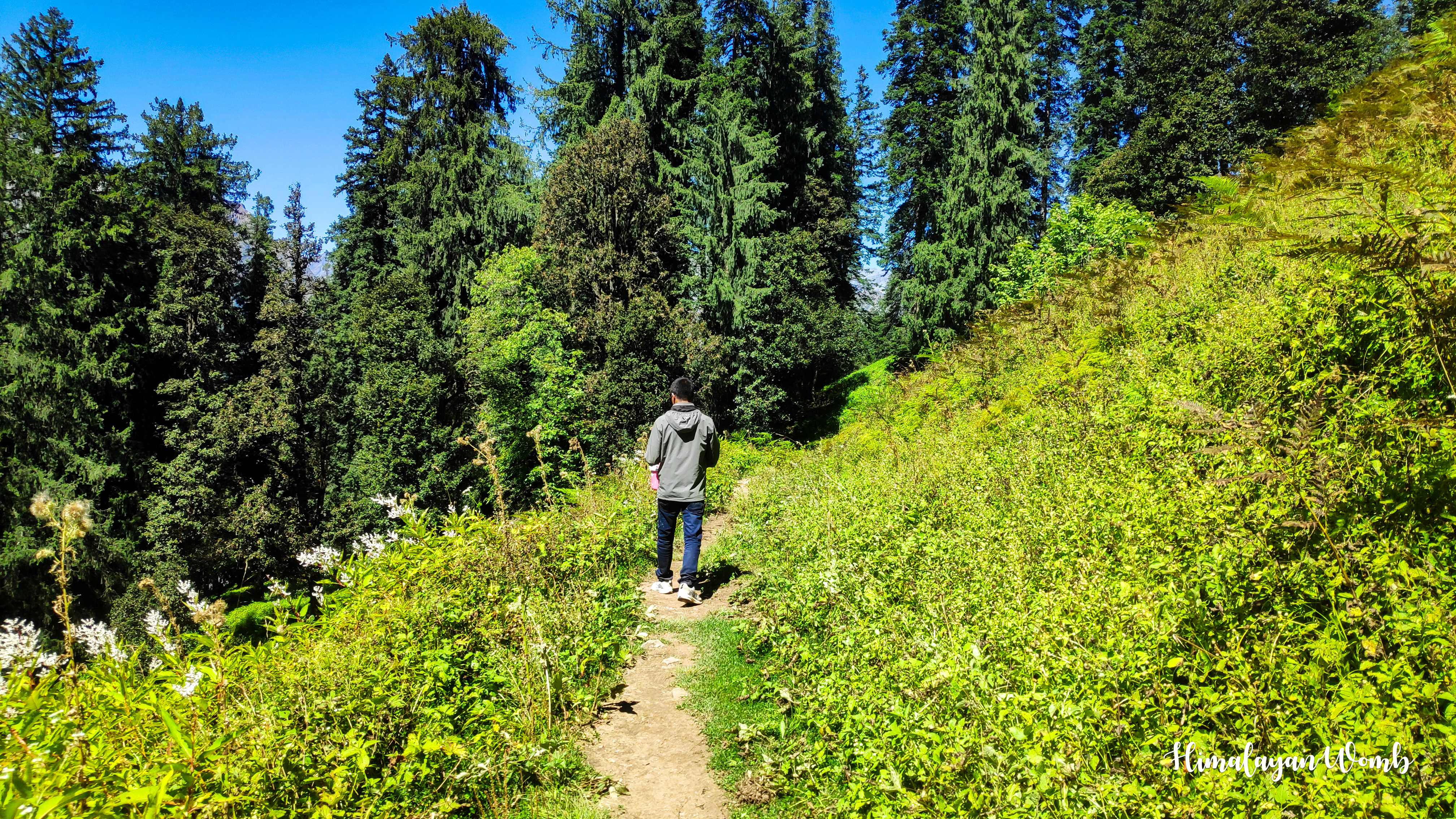
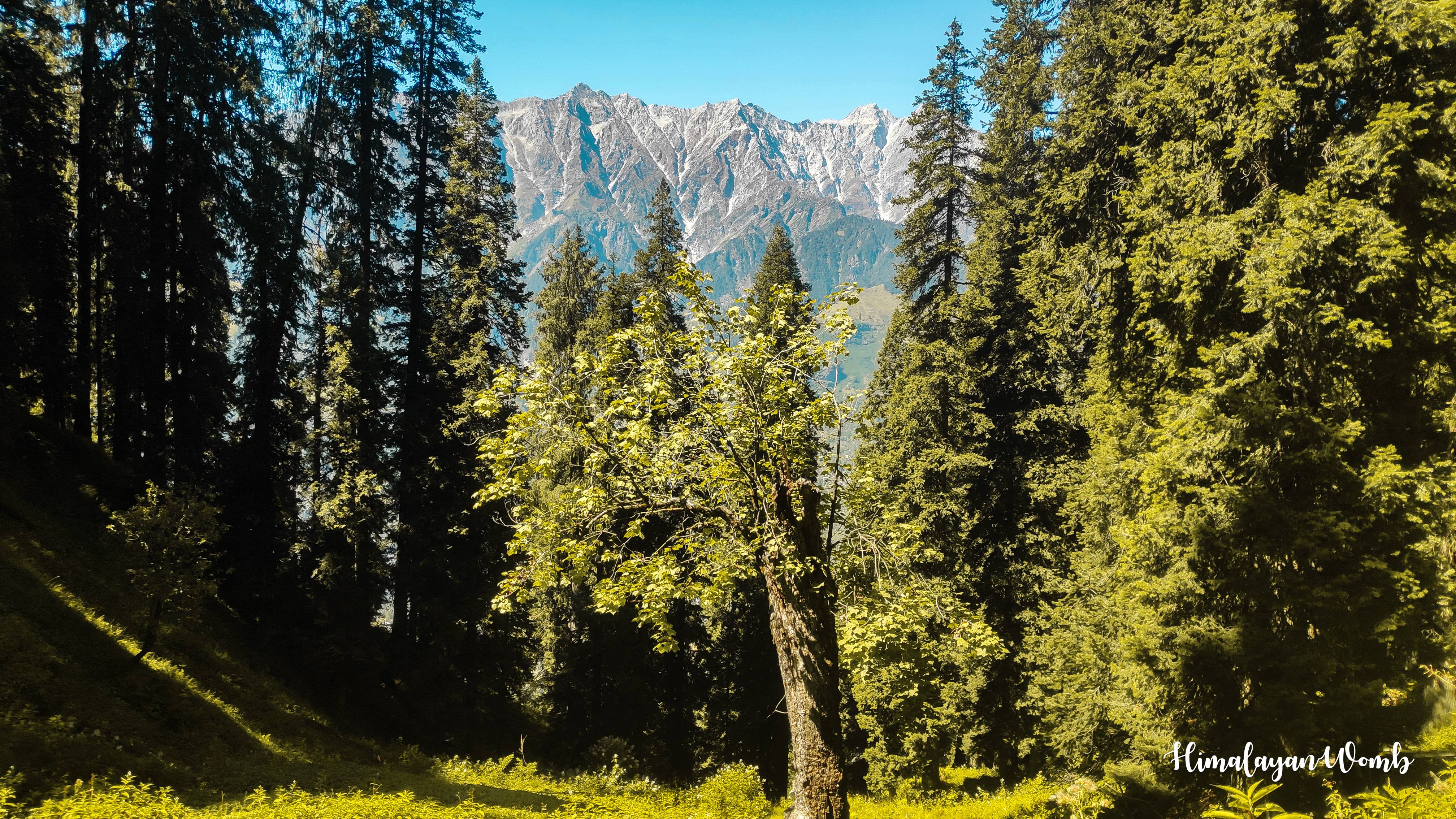
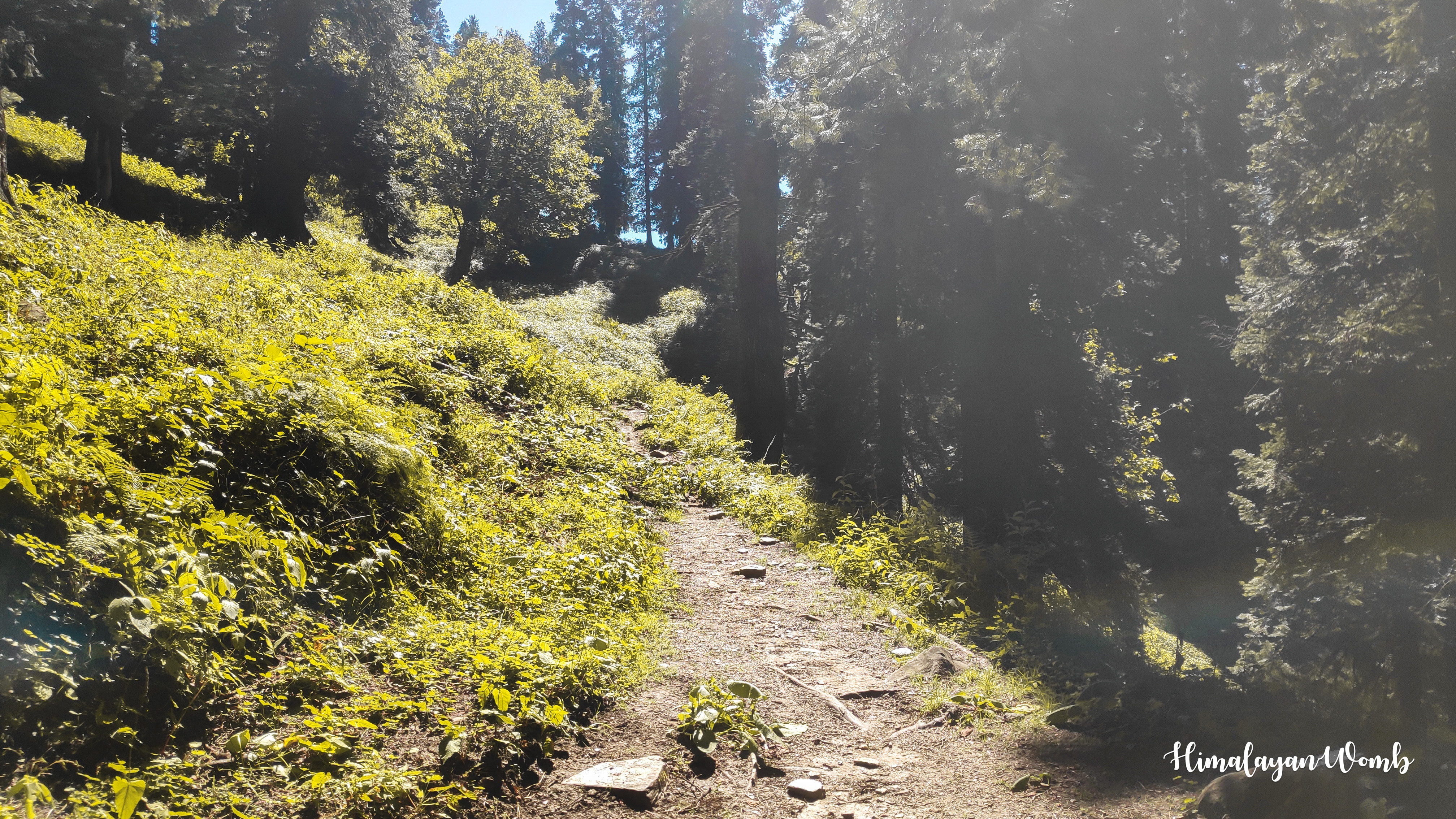
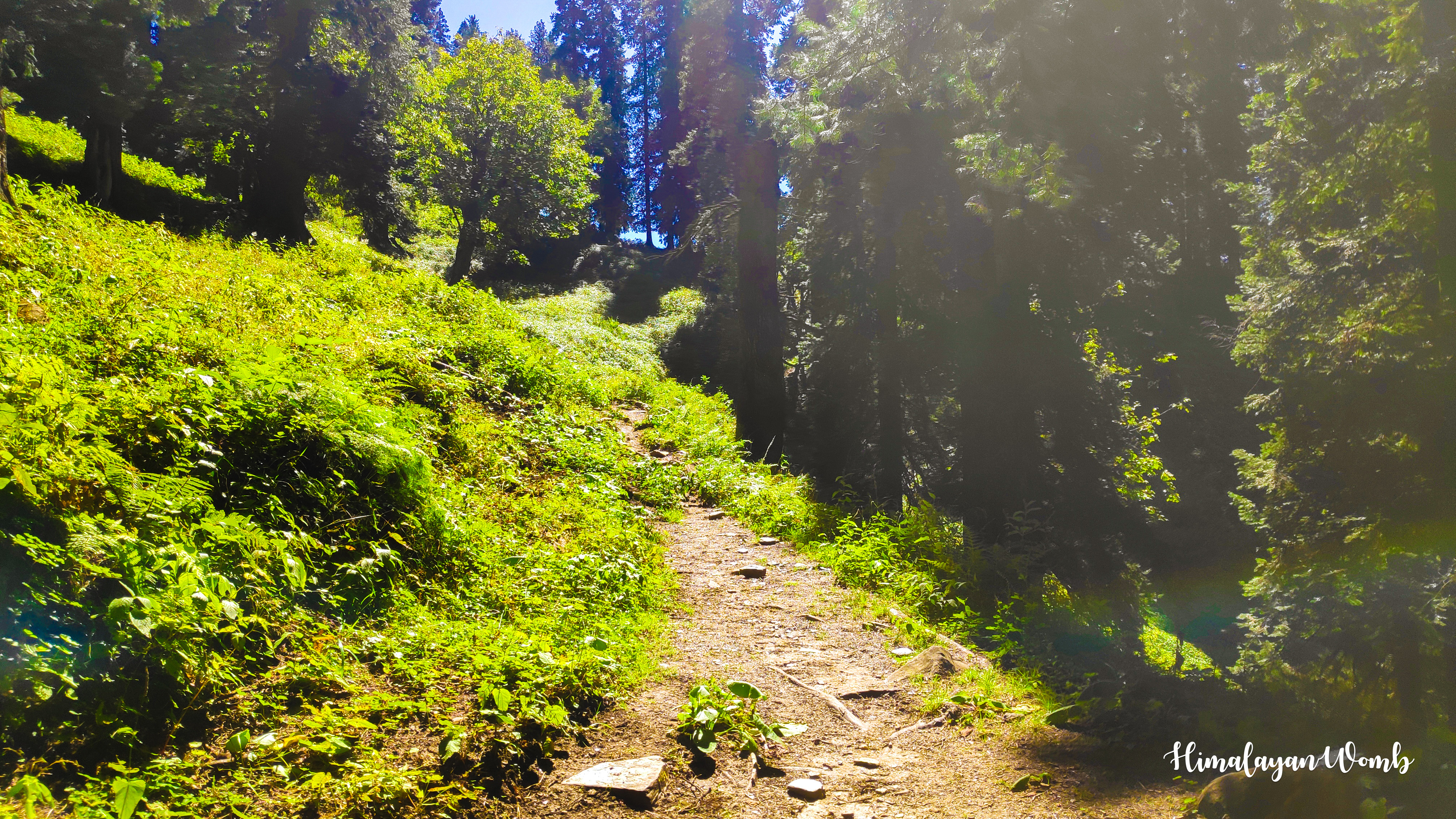
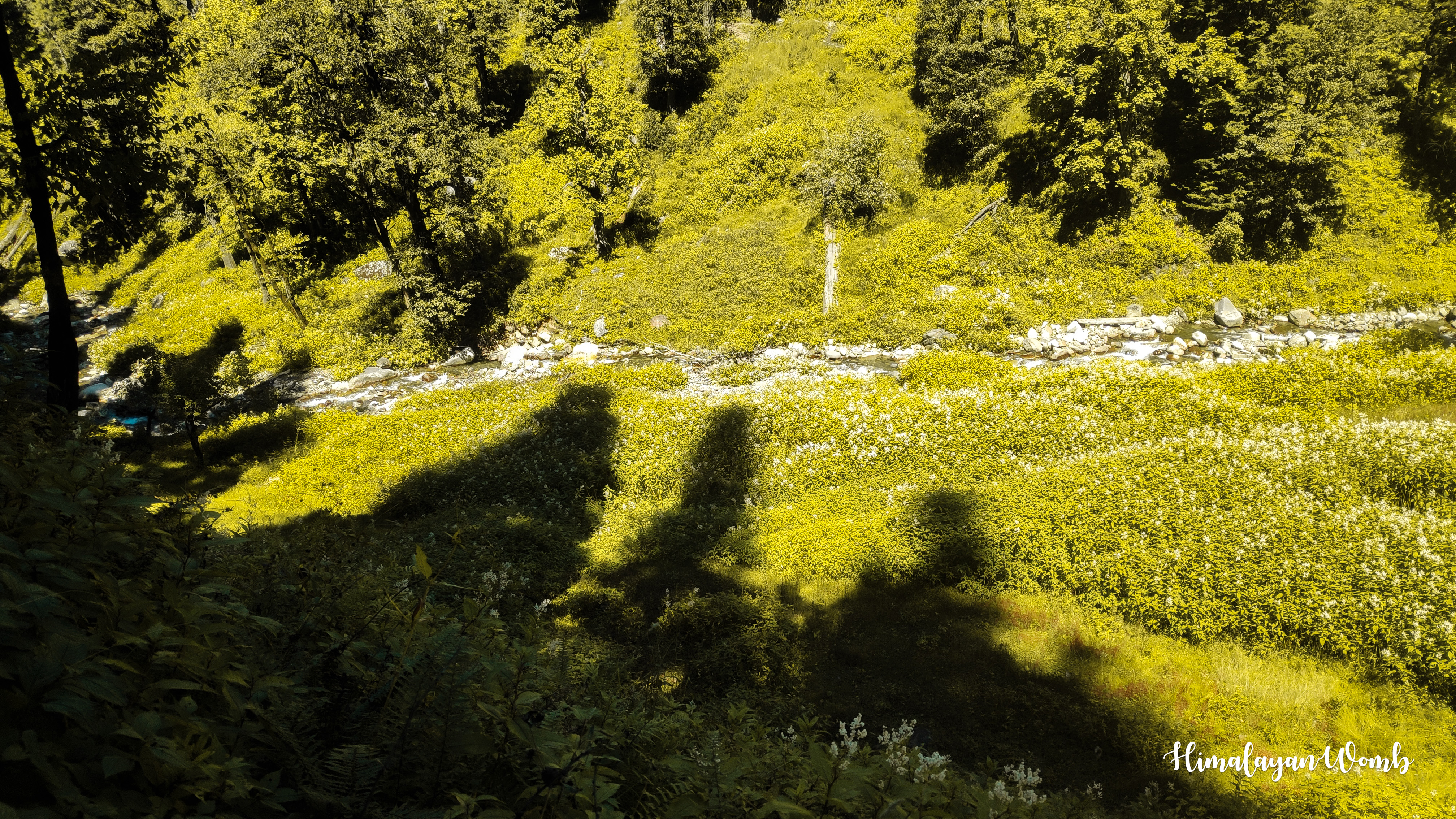
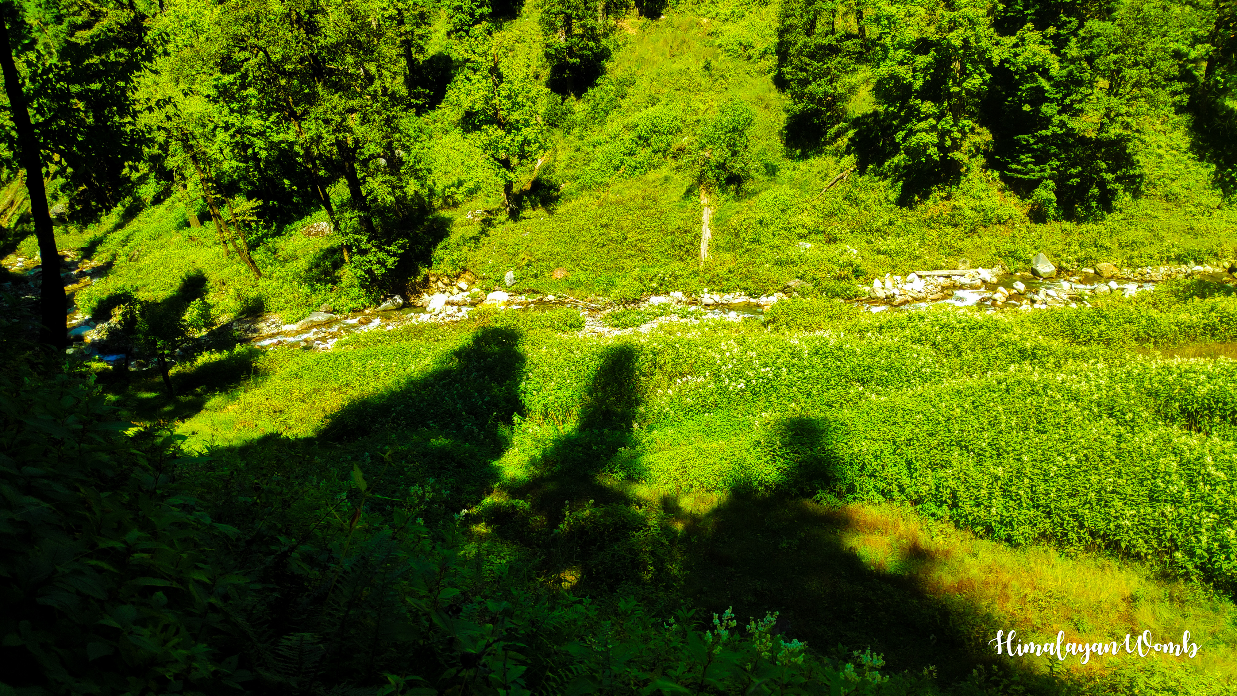
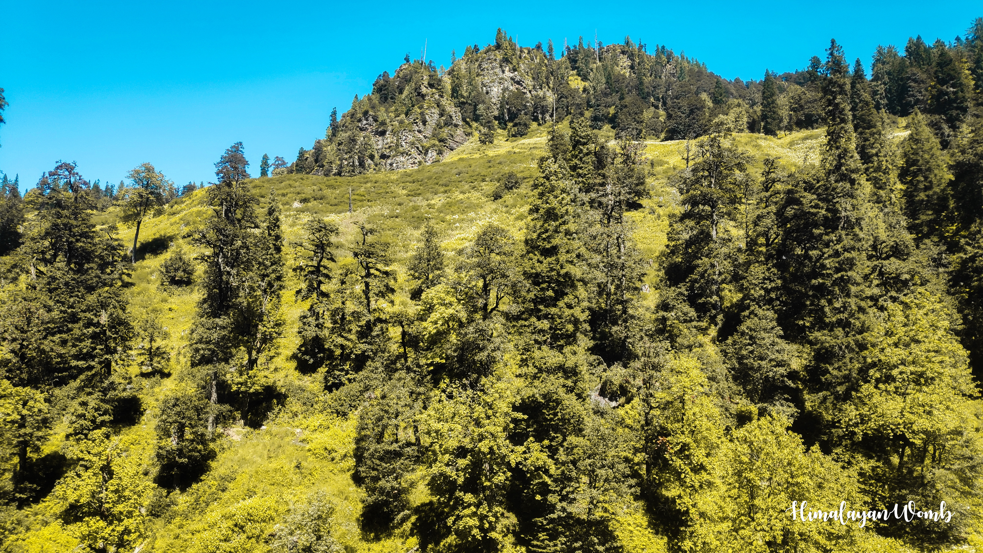
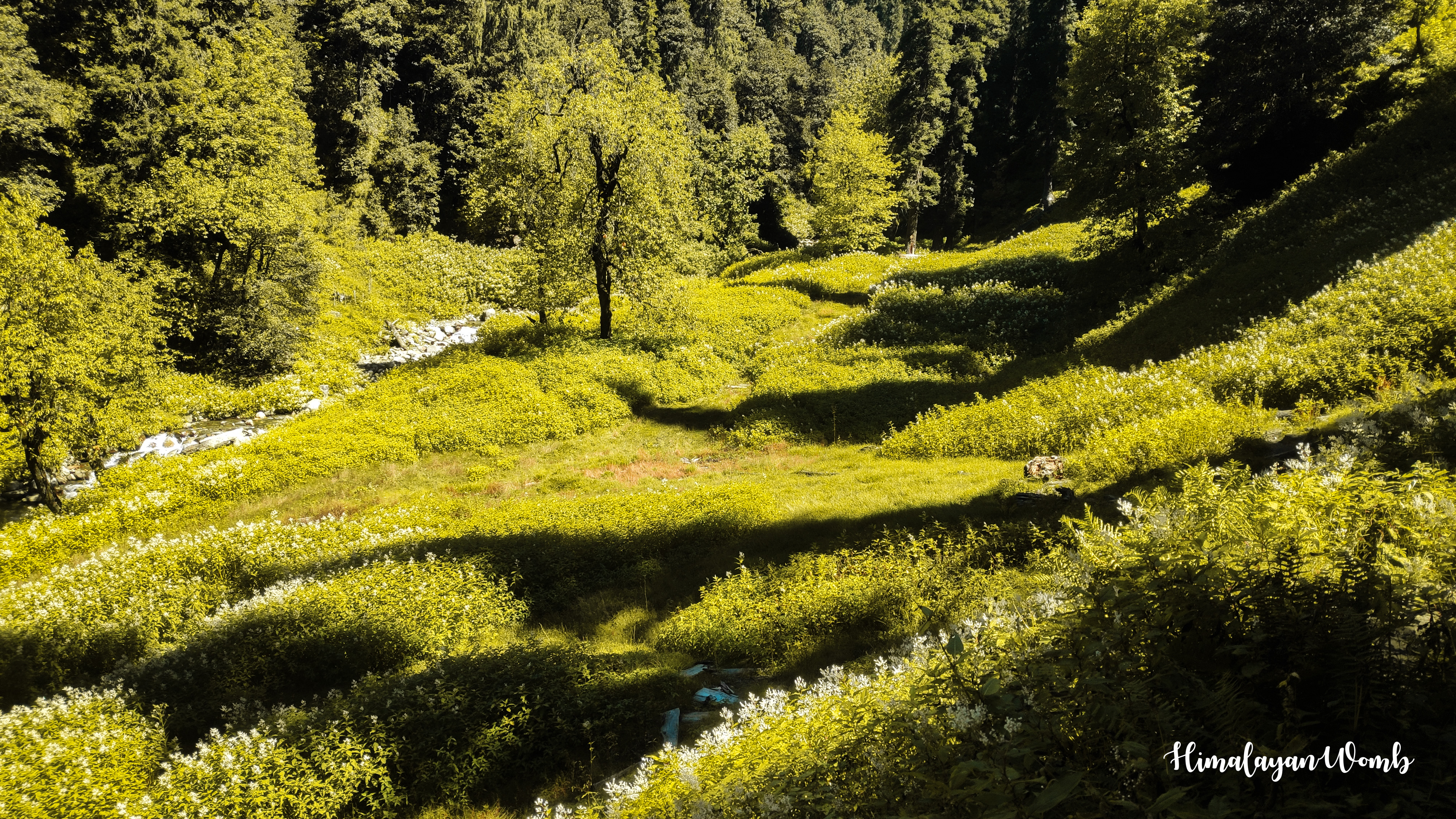
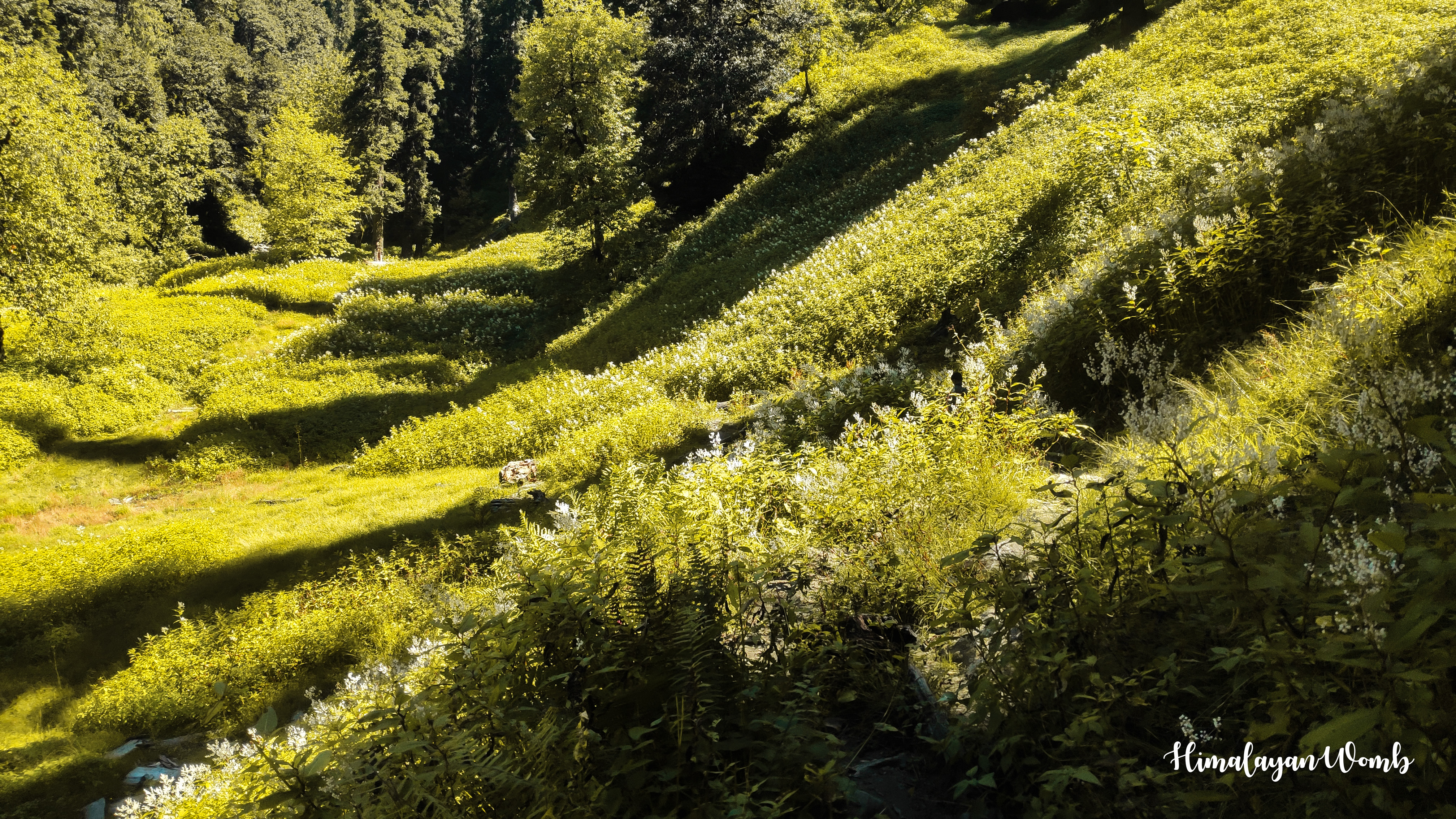
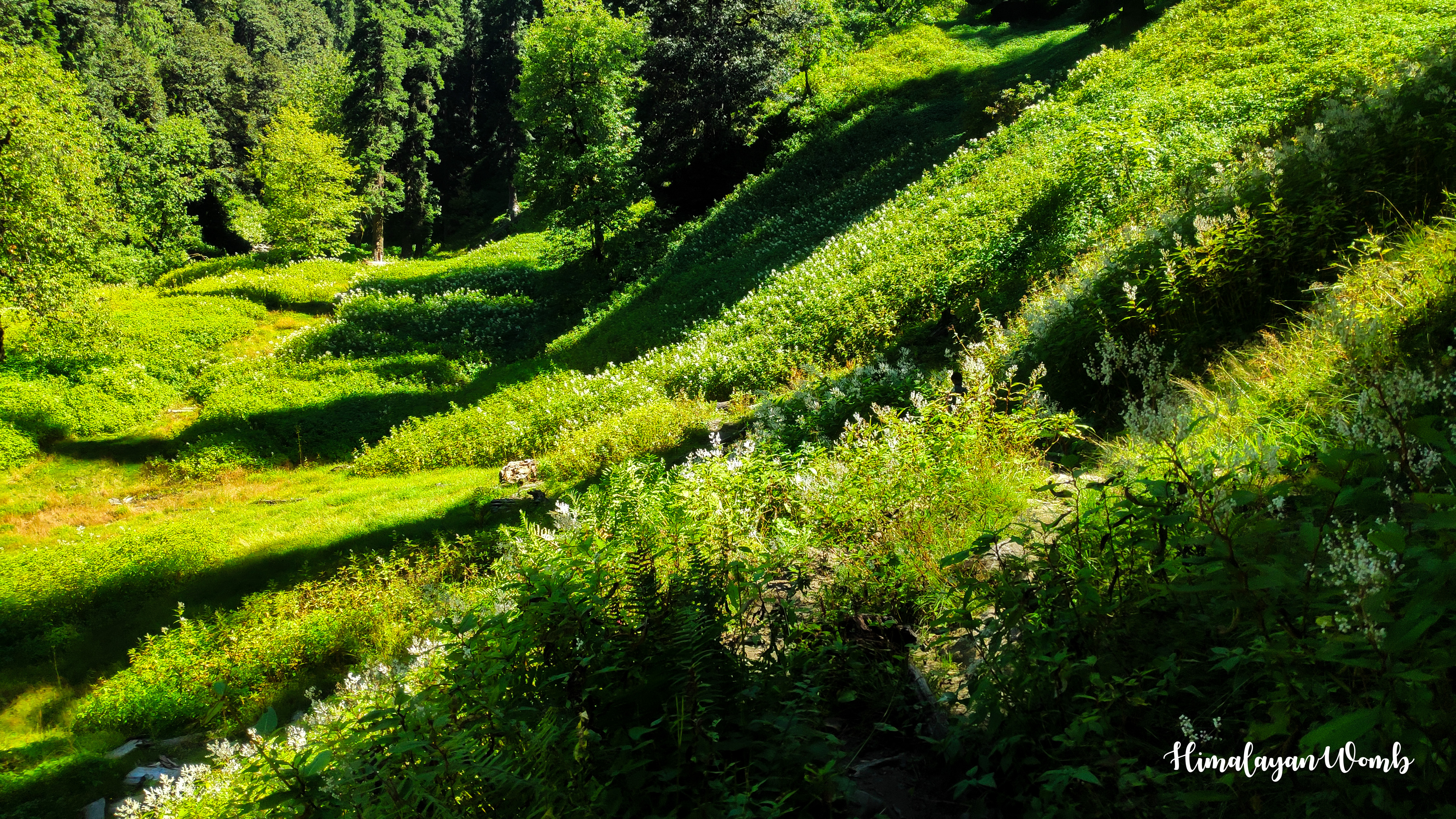
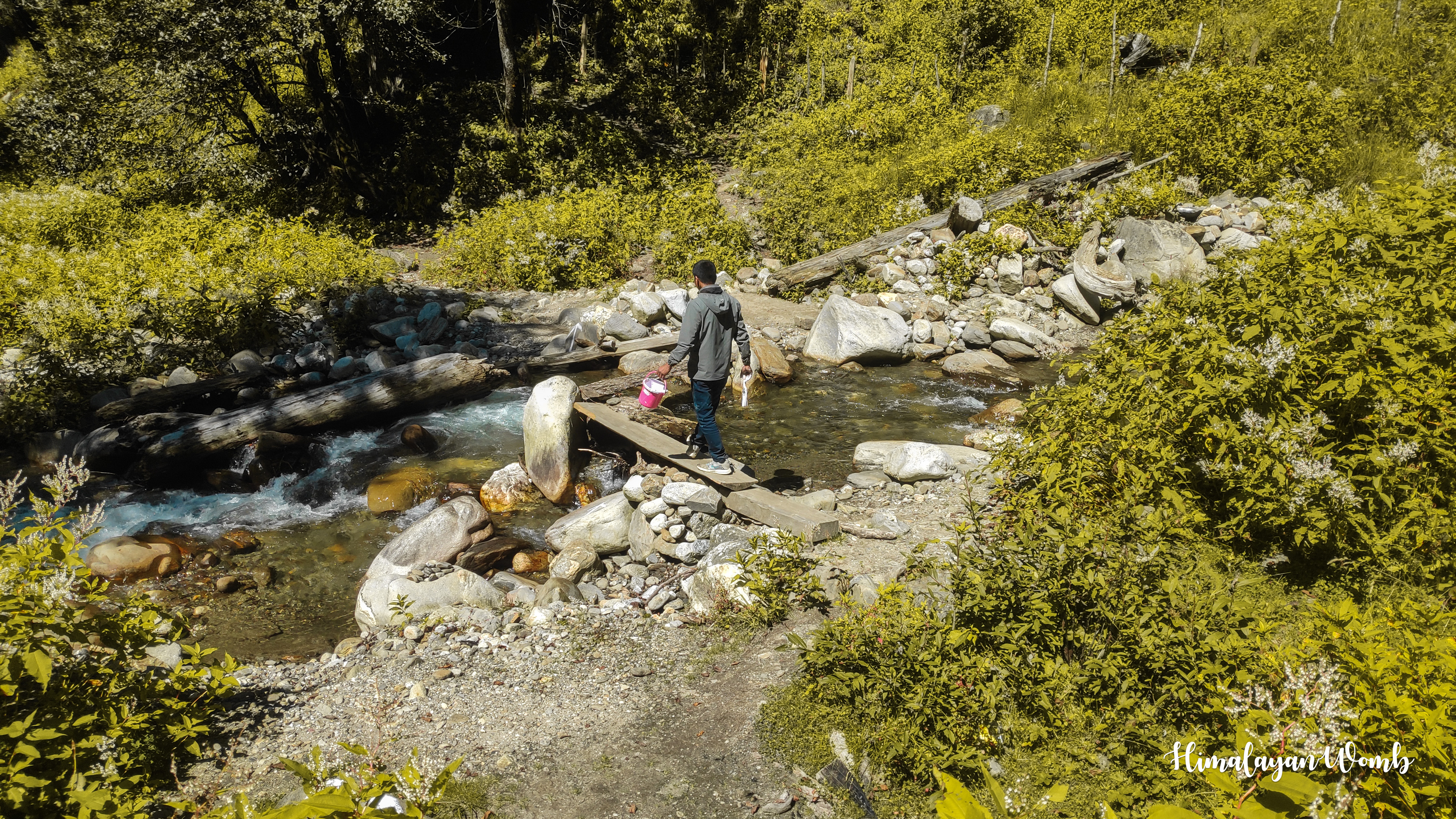
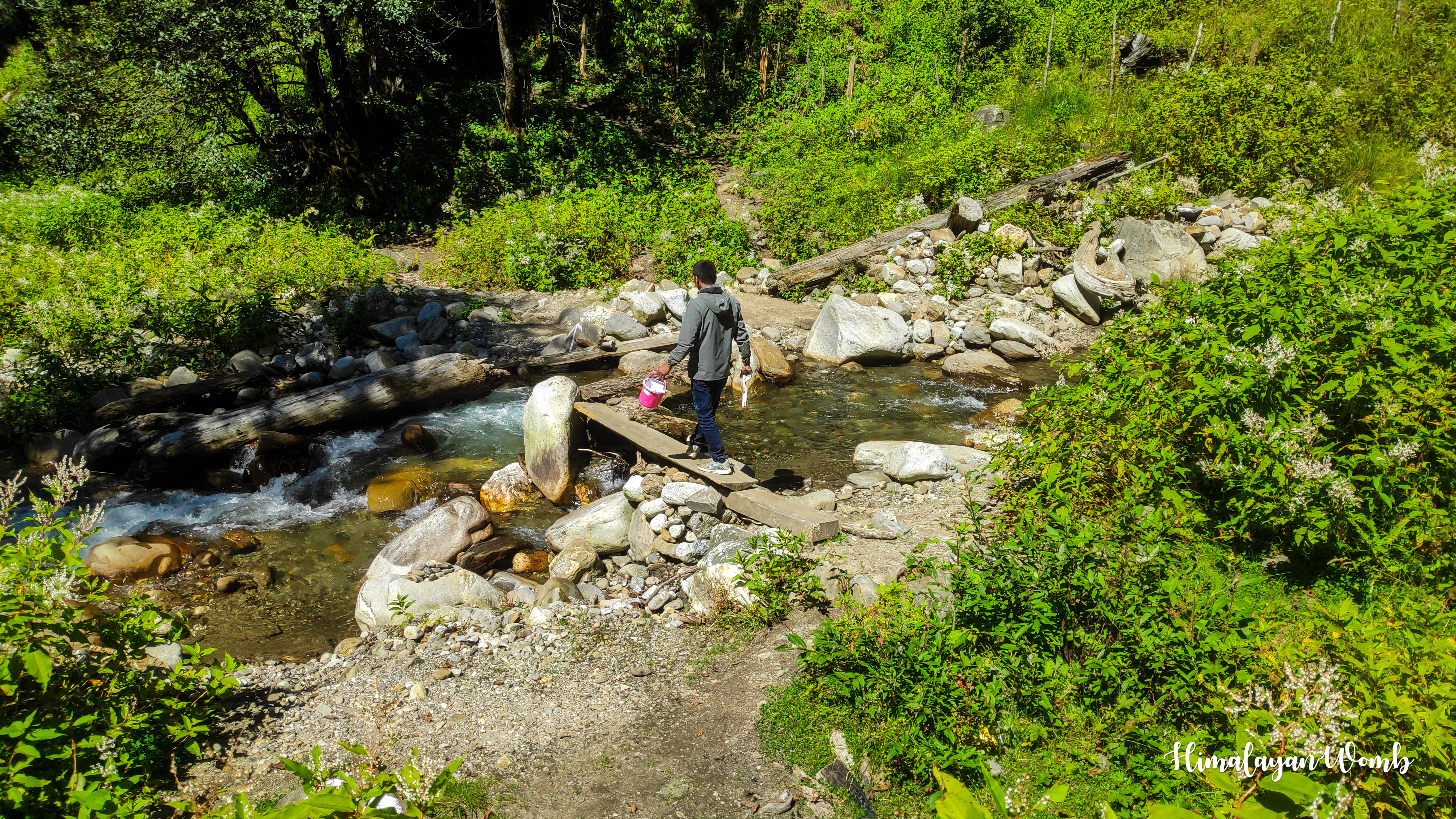
With folded hands in front of Vasishtha temple, my friend and I start climbing the Mori Dug climb. Crossing the apple orchards of the locals, we reach the deodar forest where at some places the sun is shining and at other places the sun is unable to caress the ground due to dense trees. After about 6 km, we sit down, drink water and eat some toffees that we had brought with us to give ourselves energy.
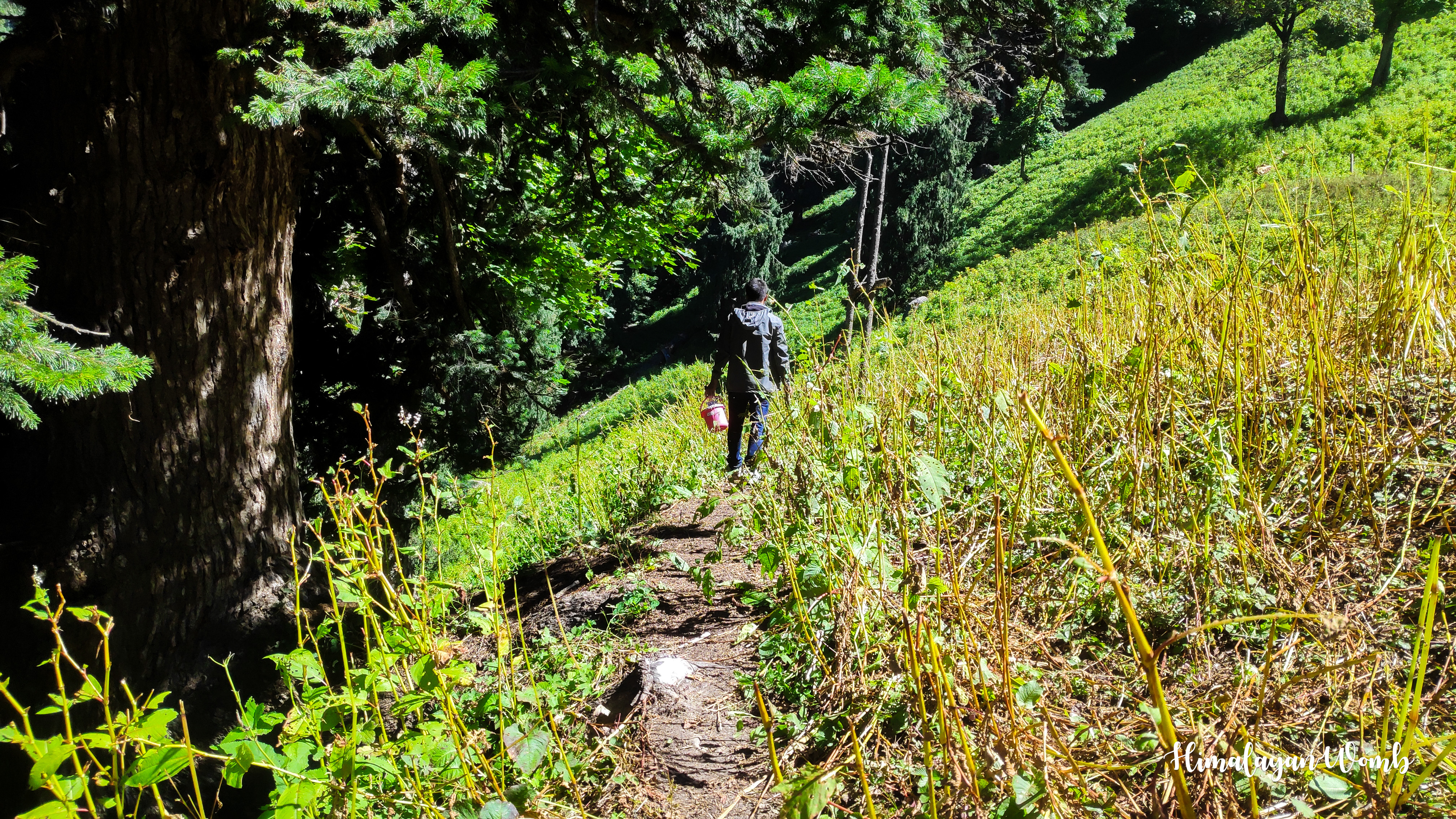
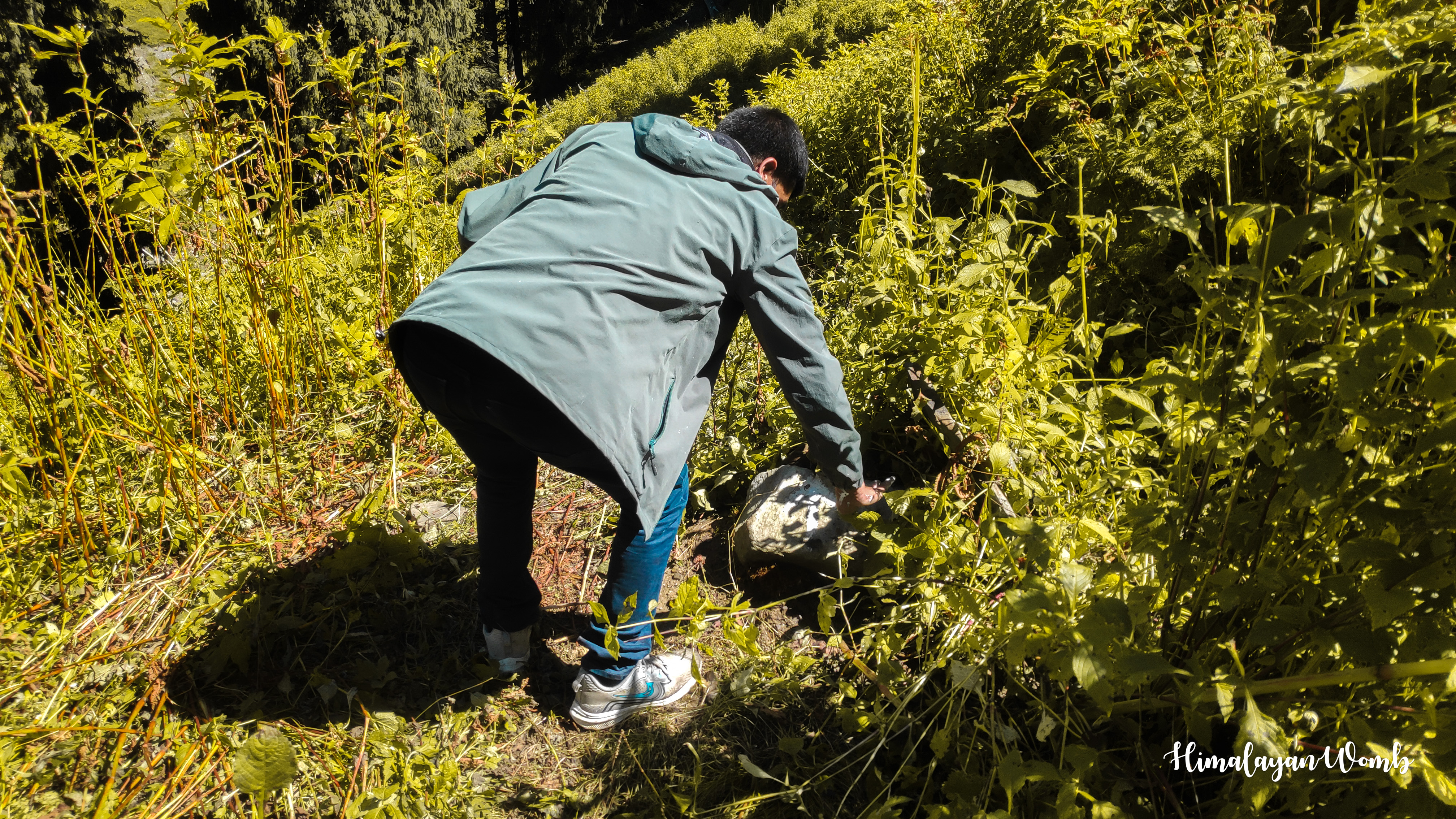
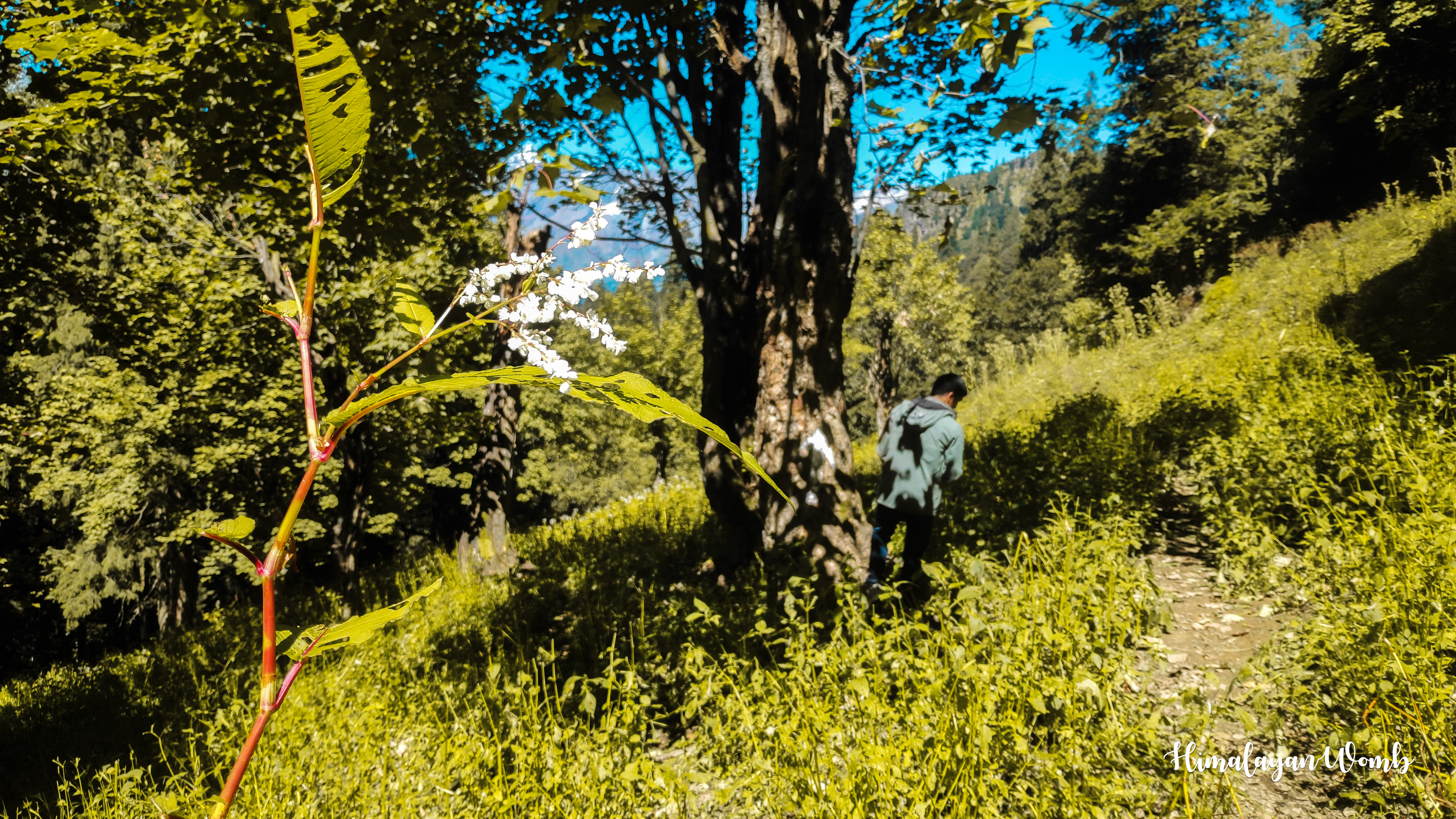
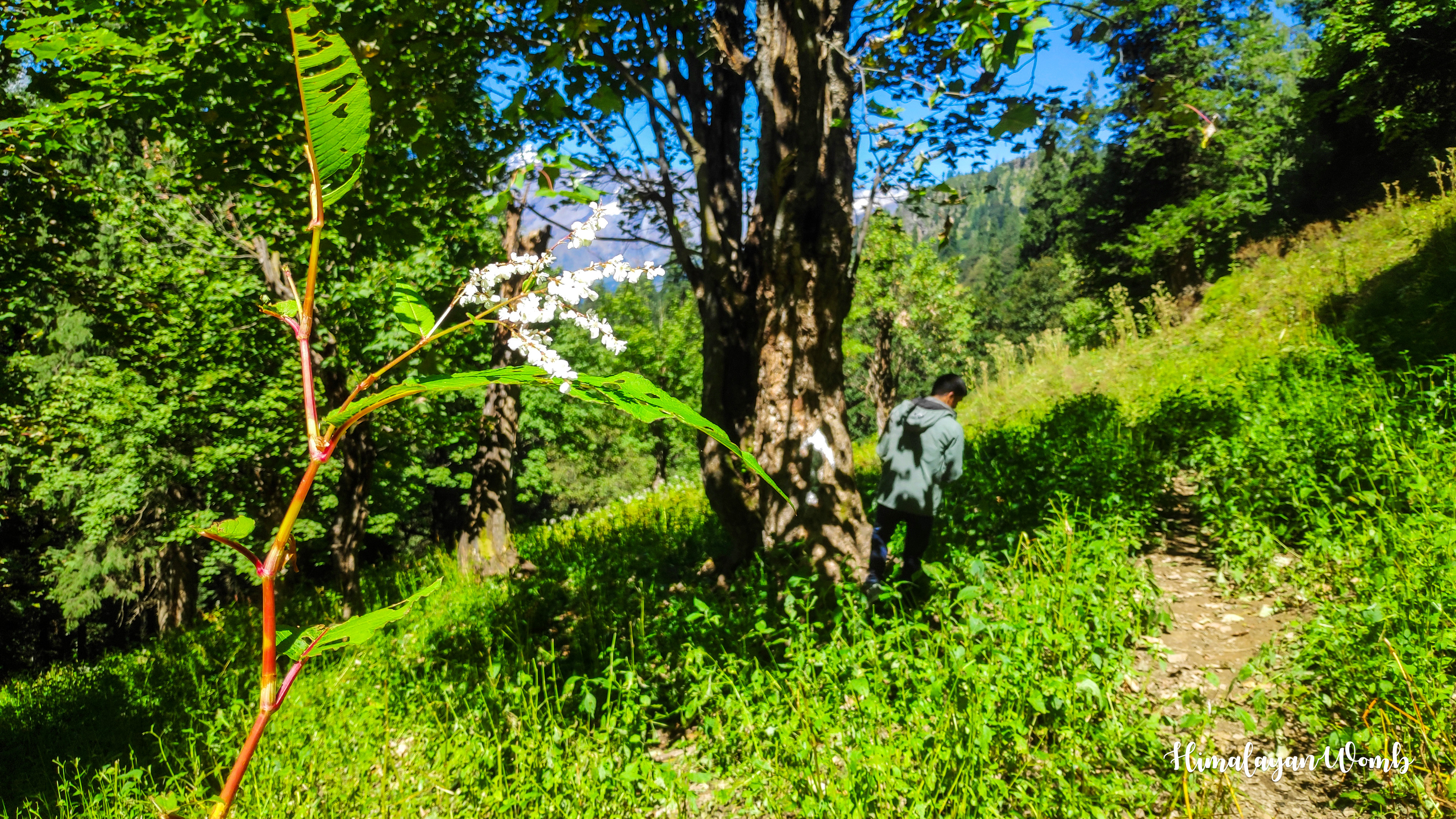
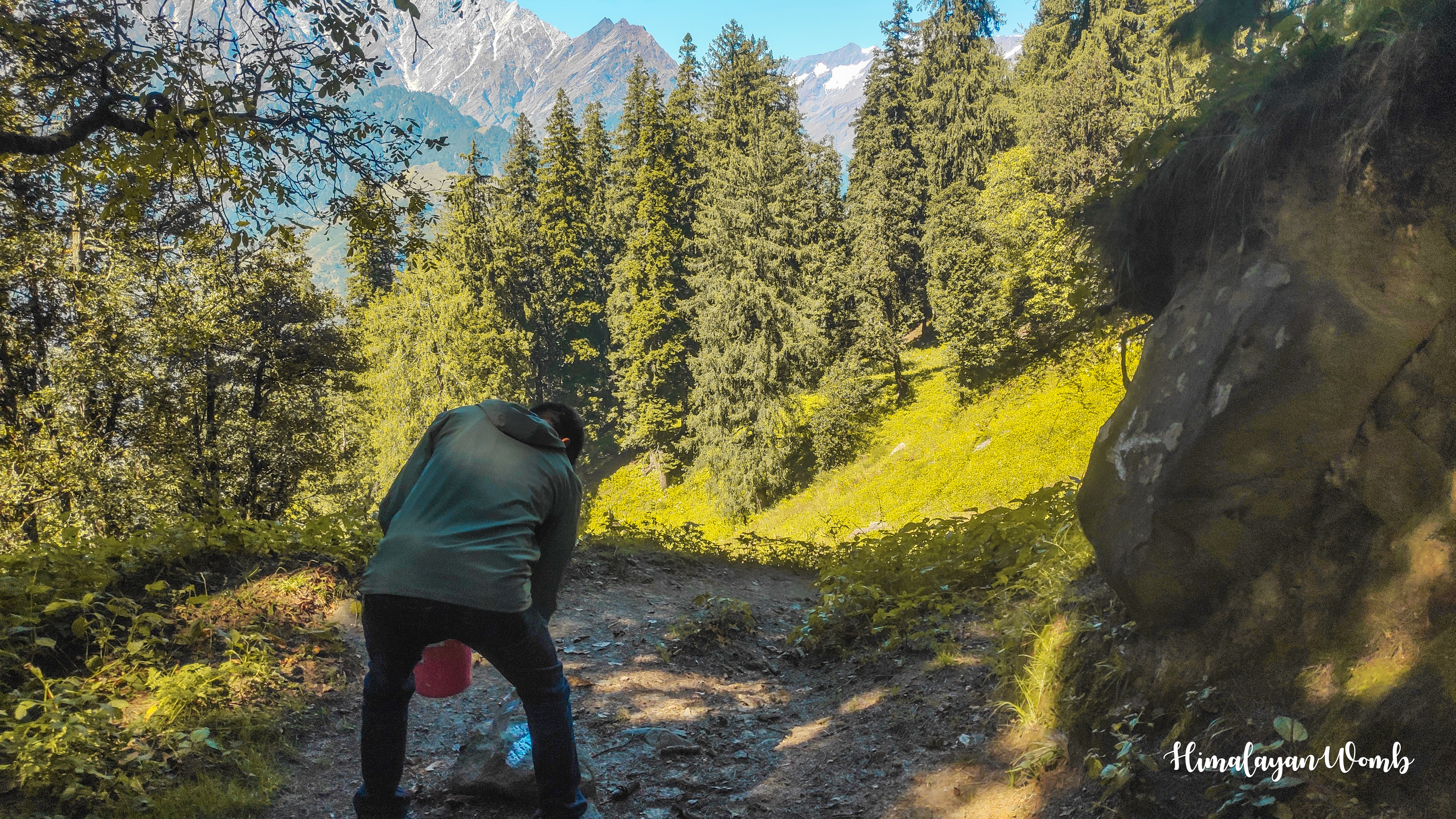
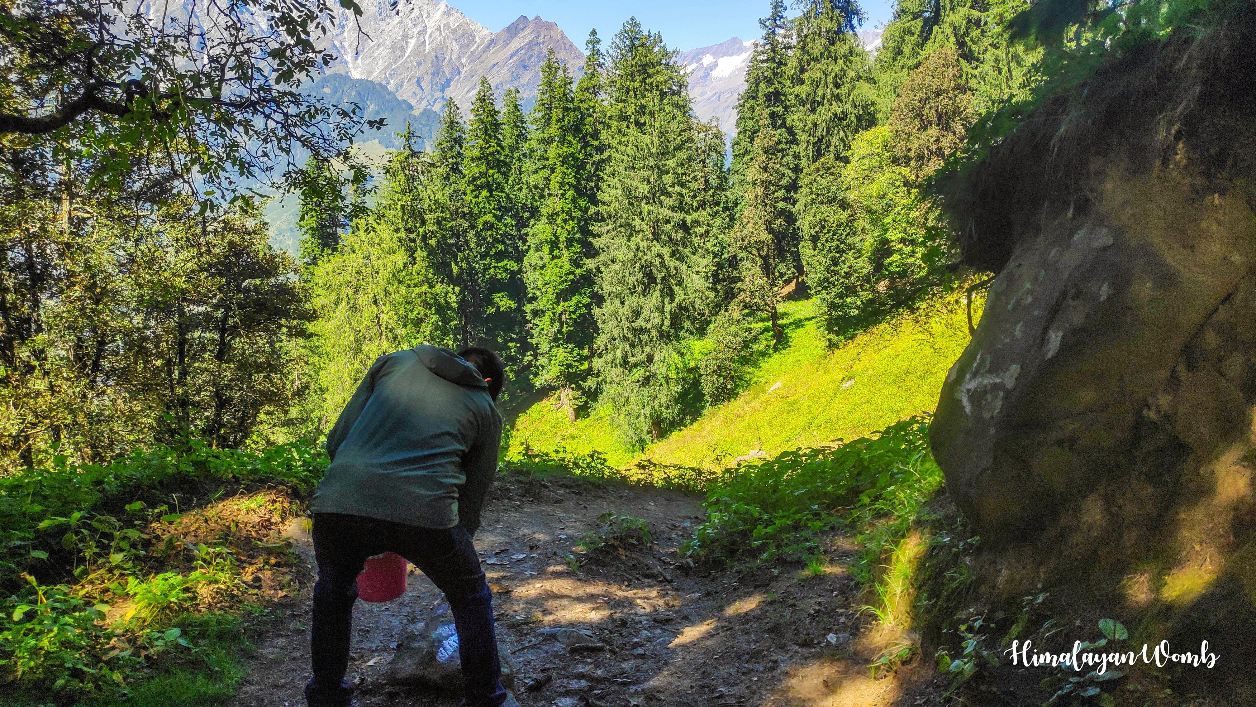
Our journey will end 2 km from here where there is campsite of Mori Dug. We are marking the trail. These marks are white in colour and runners have to follow this track, if a runner forgets or misses these marks then it can create trouble for him. Because this forest is very dense and big, if someone gets lost here then he will be left alone in the forest for many days or weeks and it will be very difficult to find him because there is network in some places and not at all in other places.
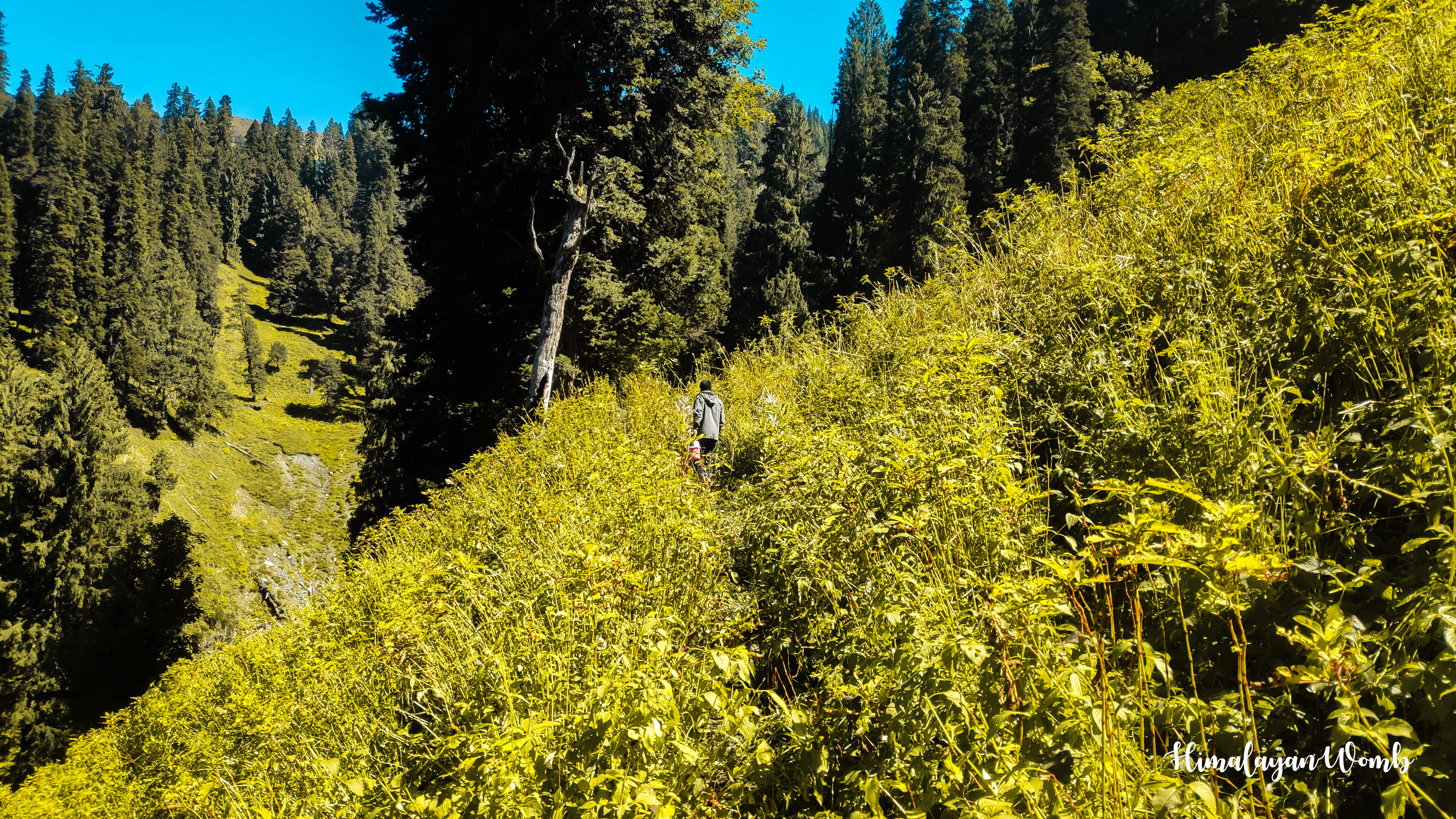
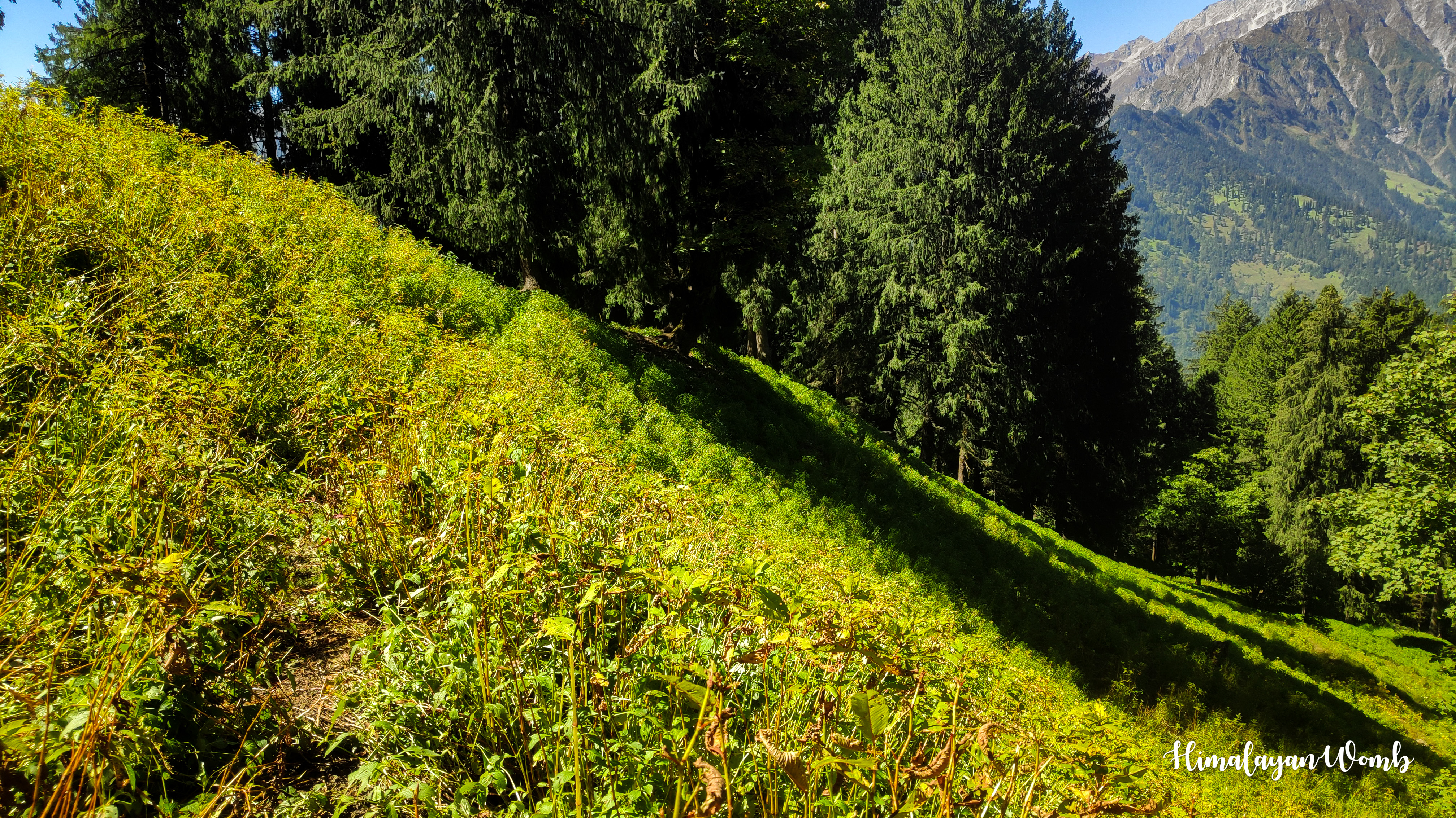
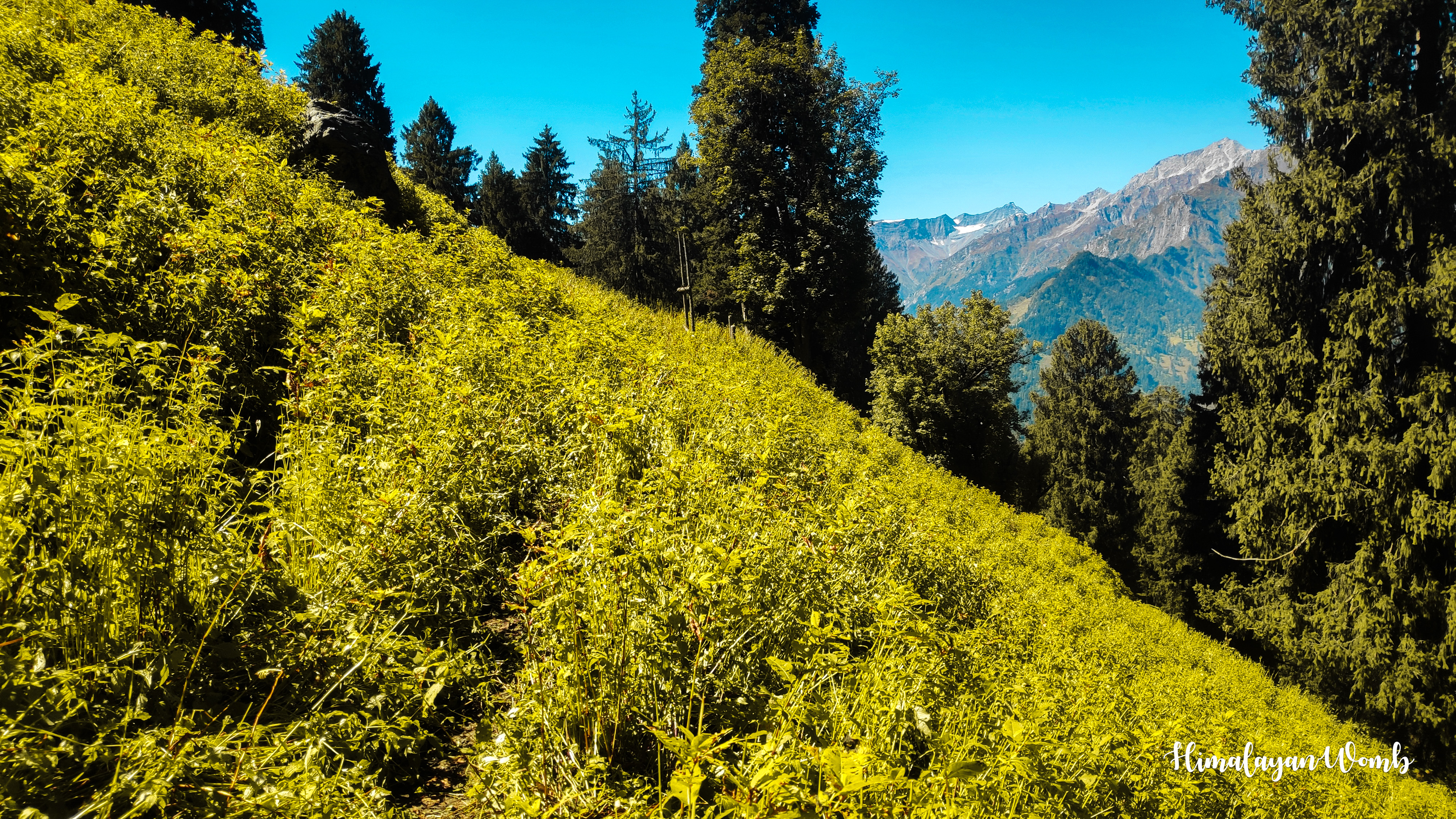
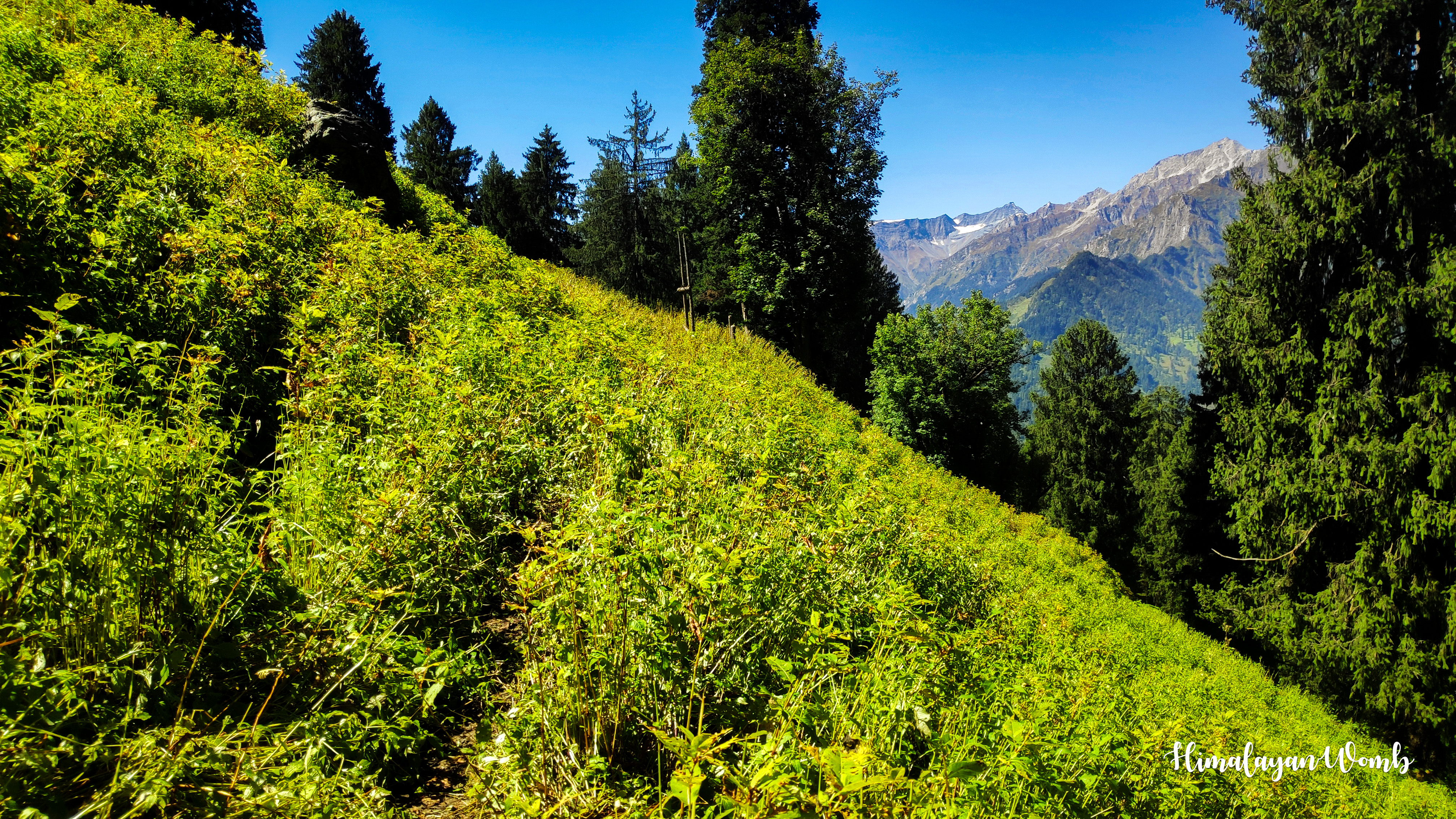
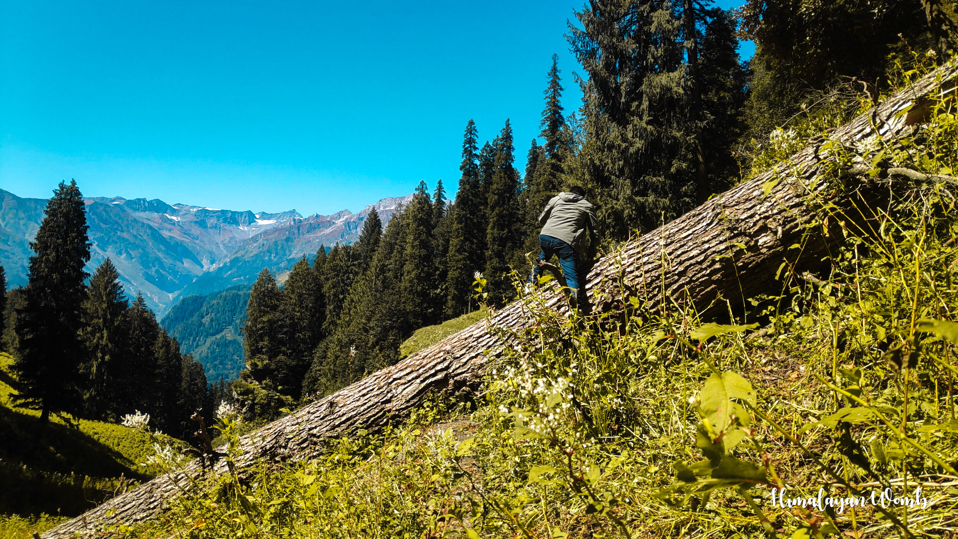
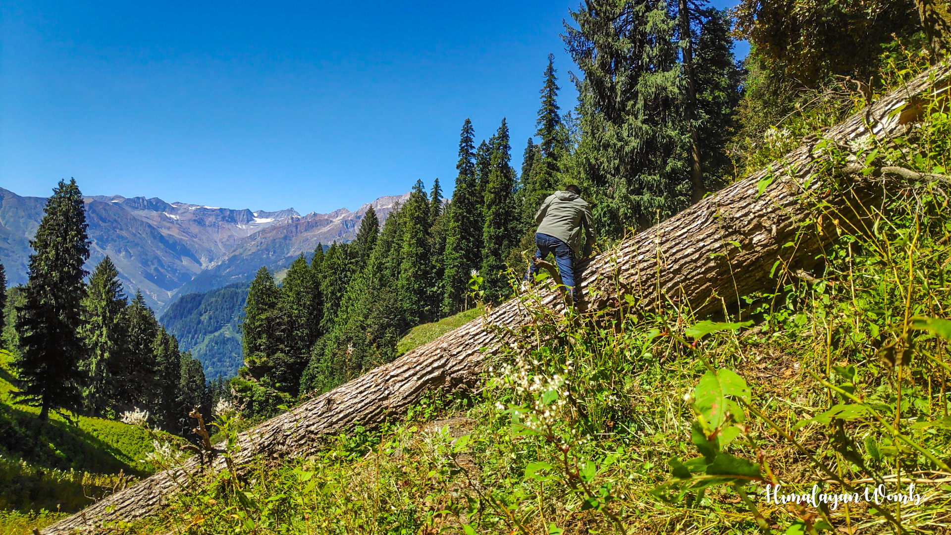
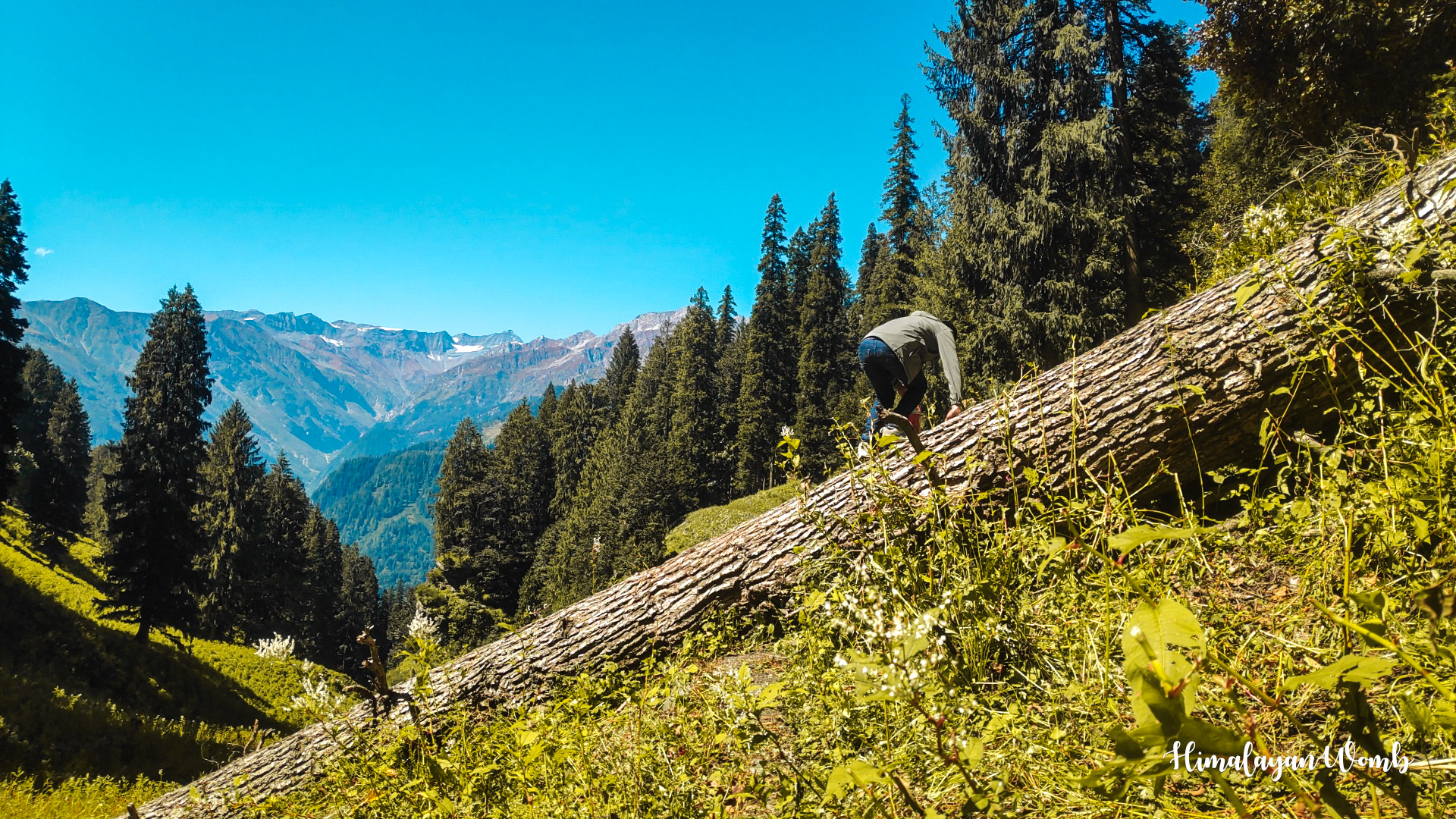
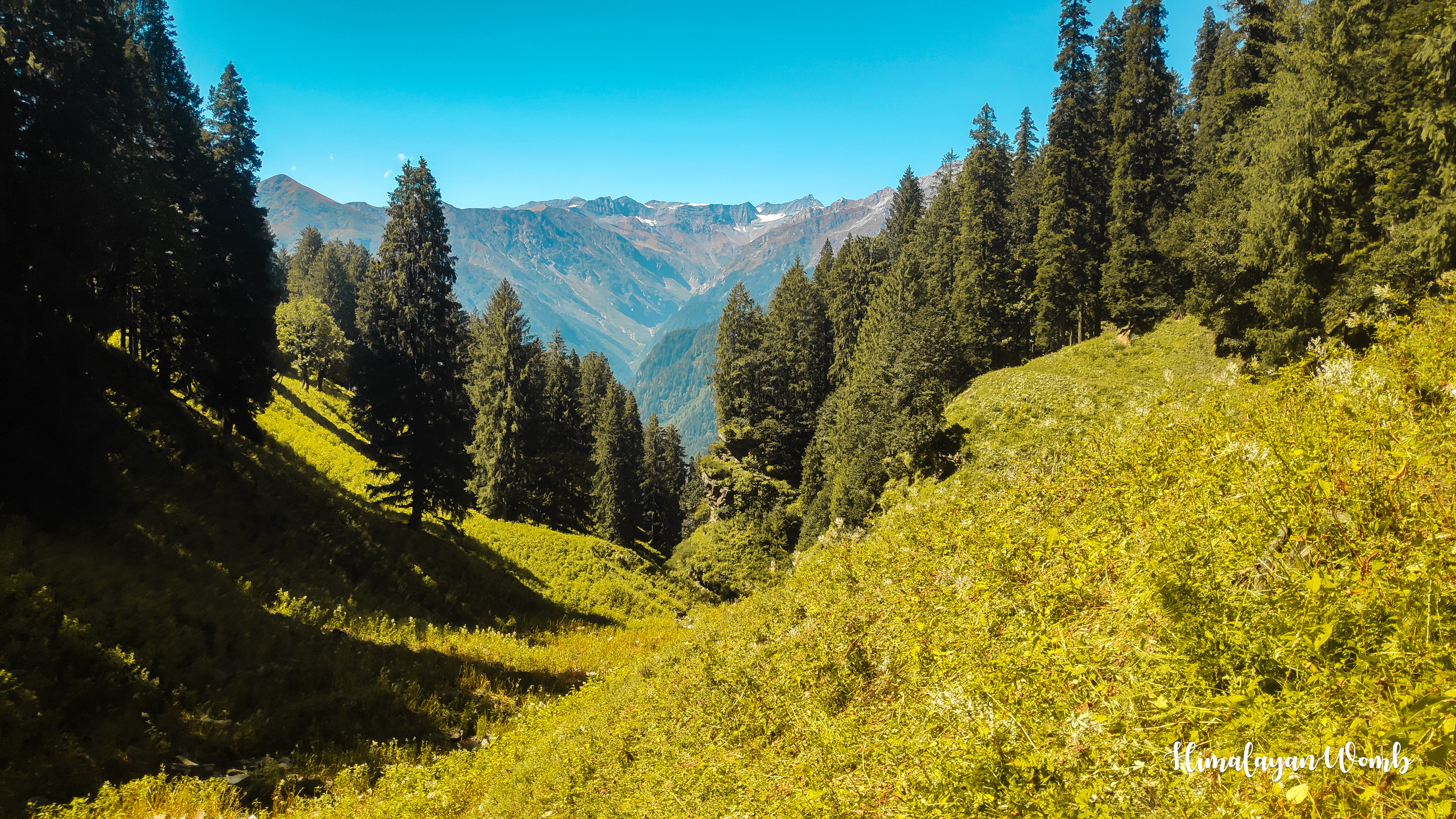
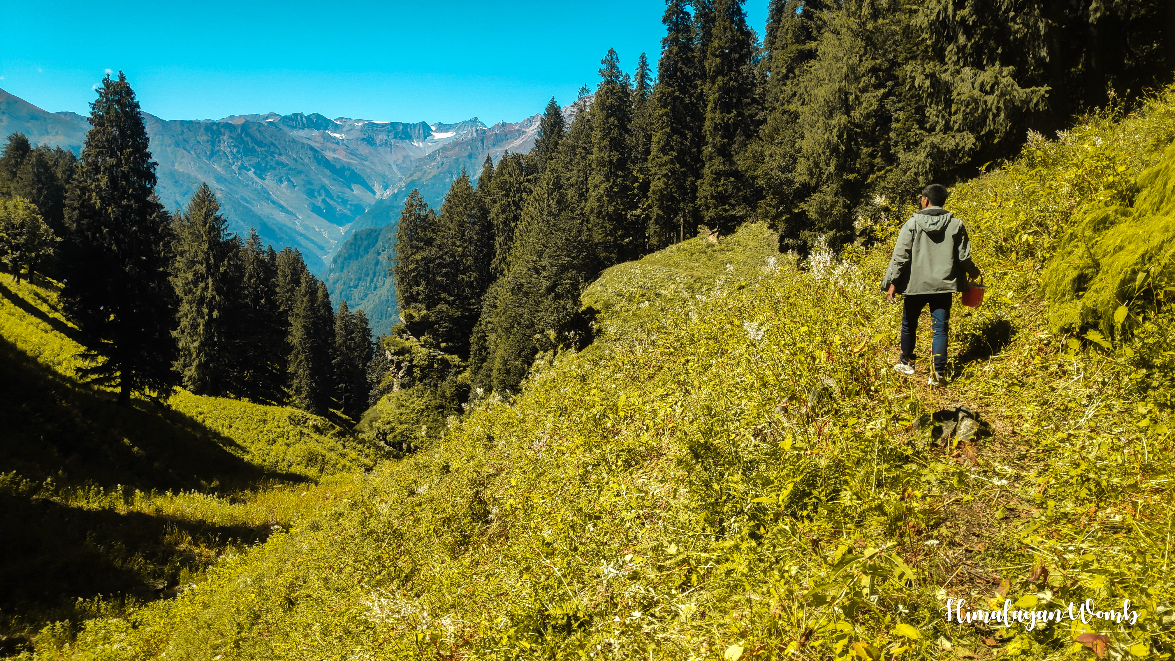
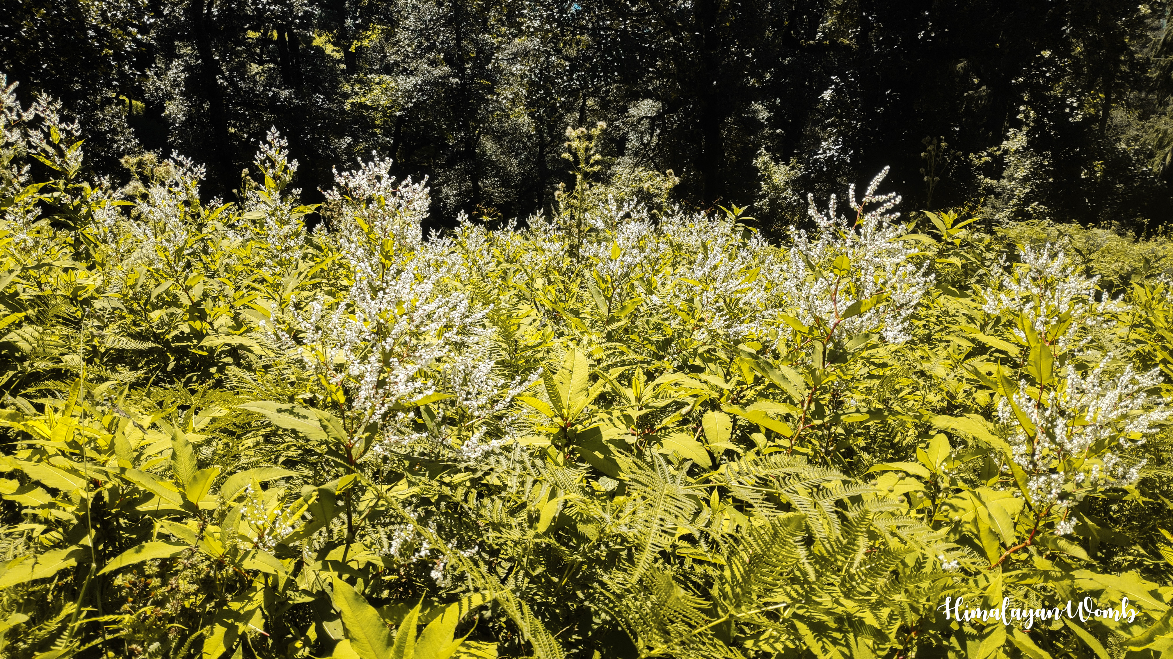
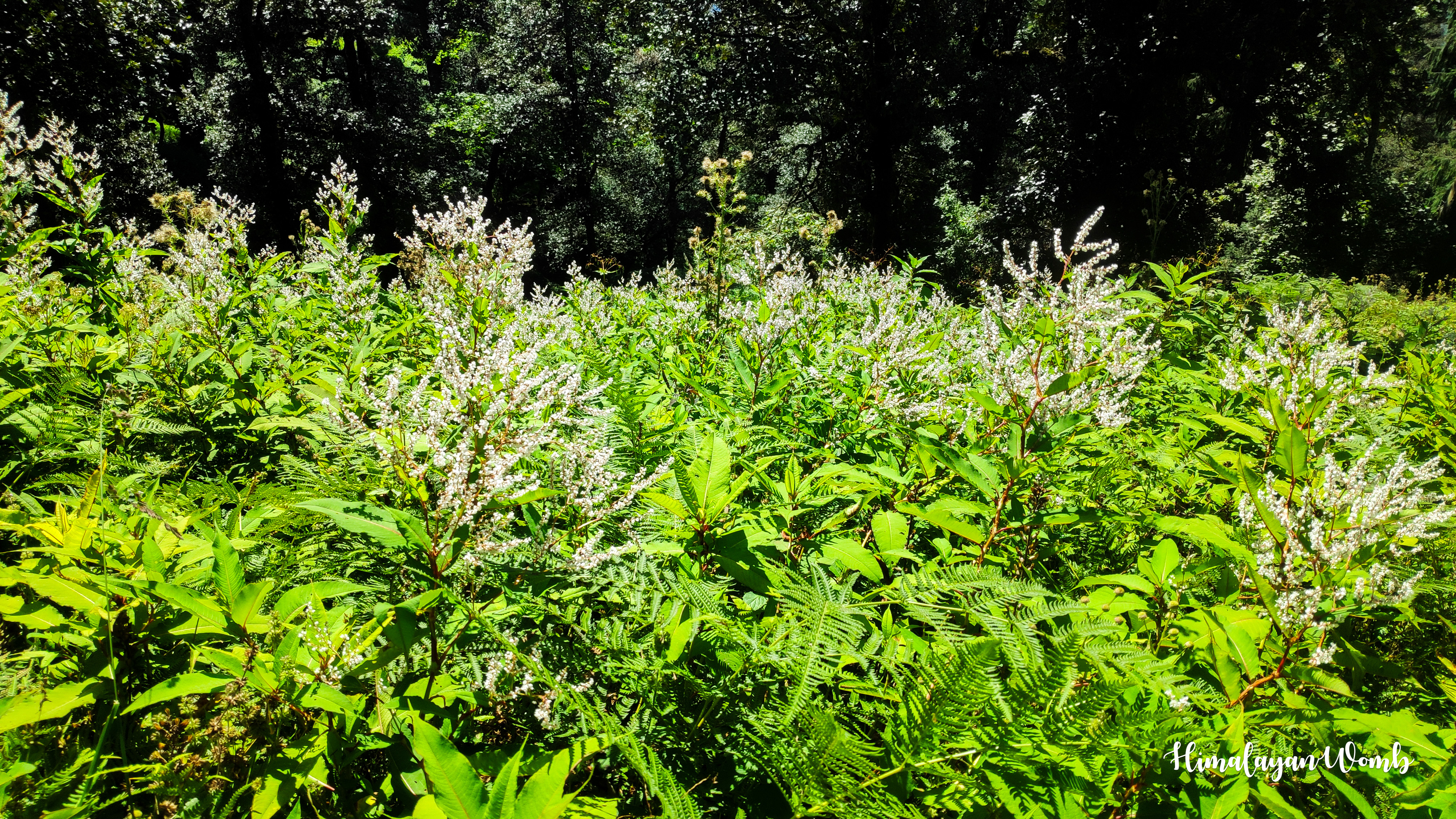
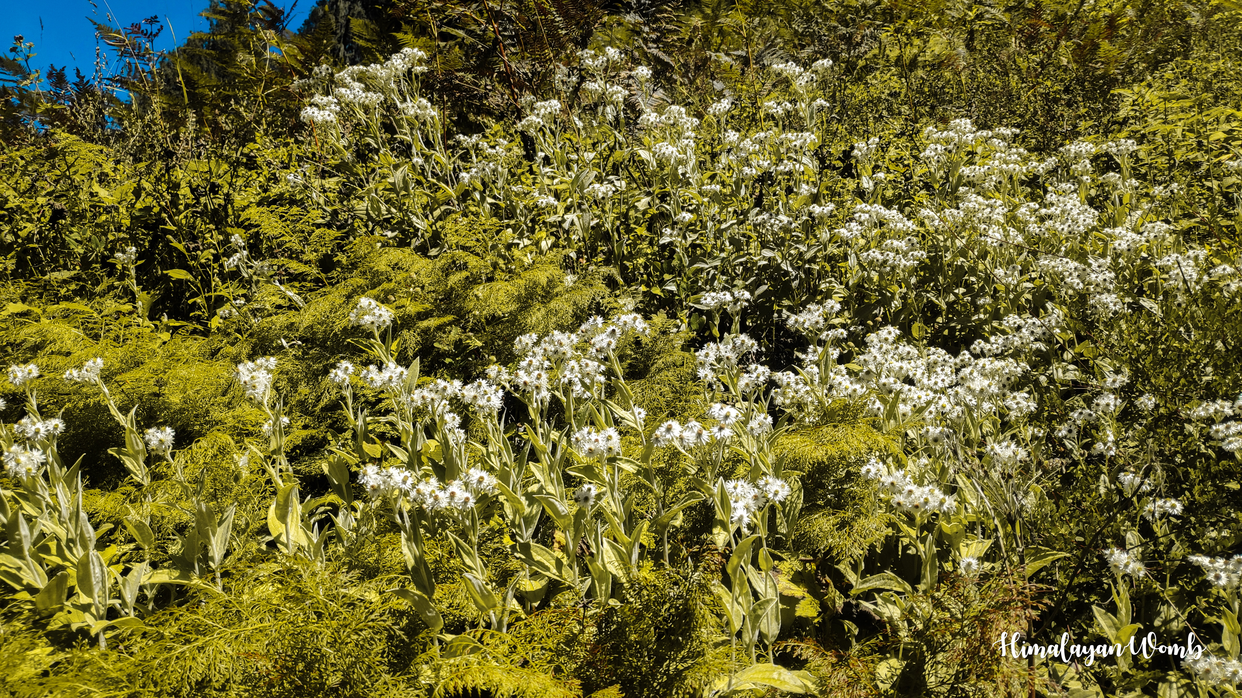
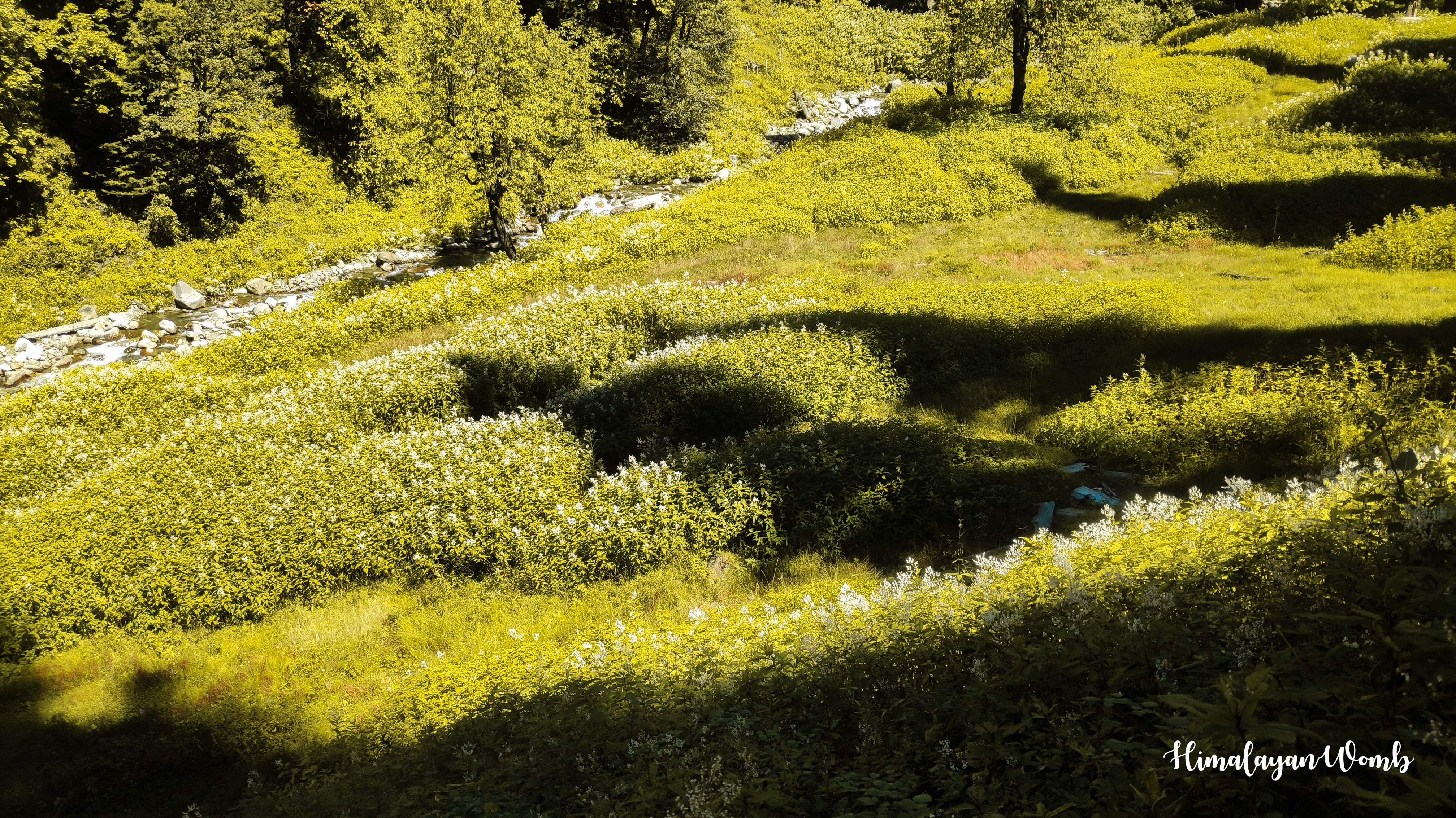
It is very fun to walk towards Hari Ghar, while the strong sunlight above the head is testing us and trying to slow down our speed. We are walking crossing long grass and finally after 8 km we reach Mori Dug. The height of Mori Dug is 3000 meters, it is a campsite from where one path descends to Kothi village, while following the other path we can reach Bhrigu lake which is situated at 4250 meters.
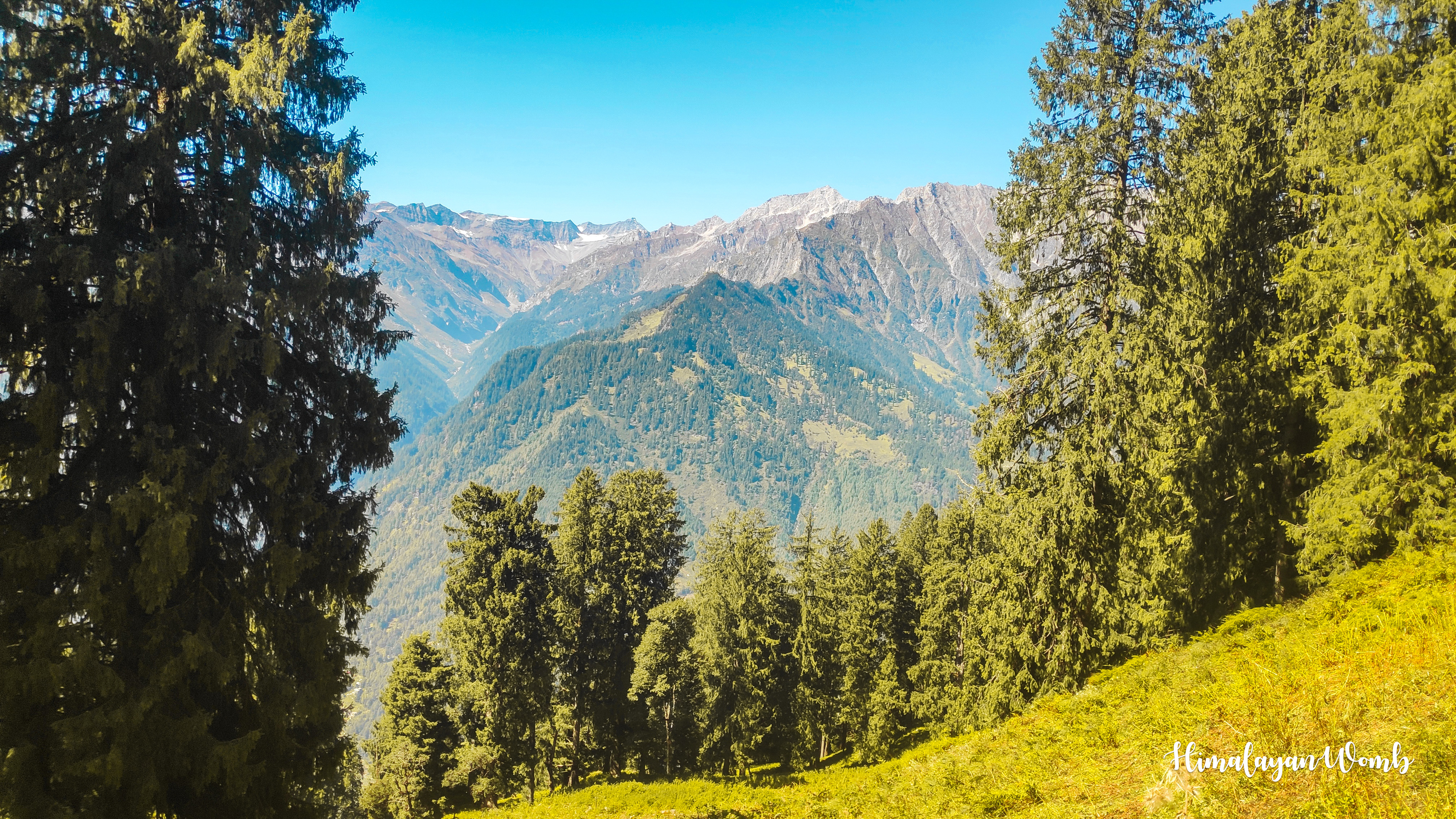
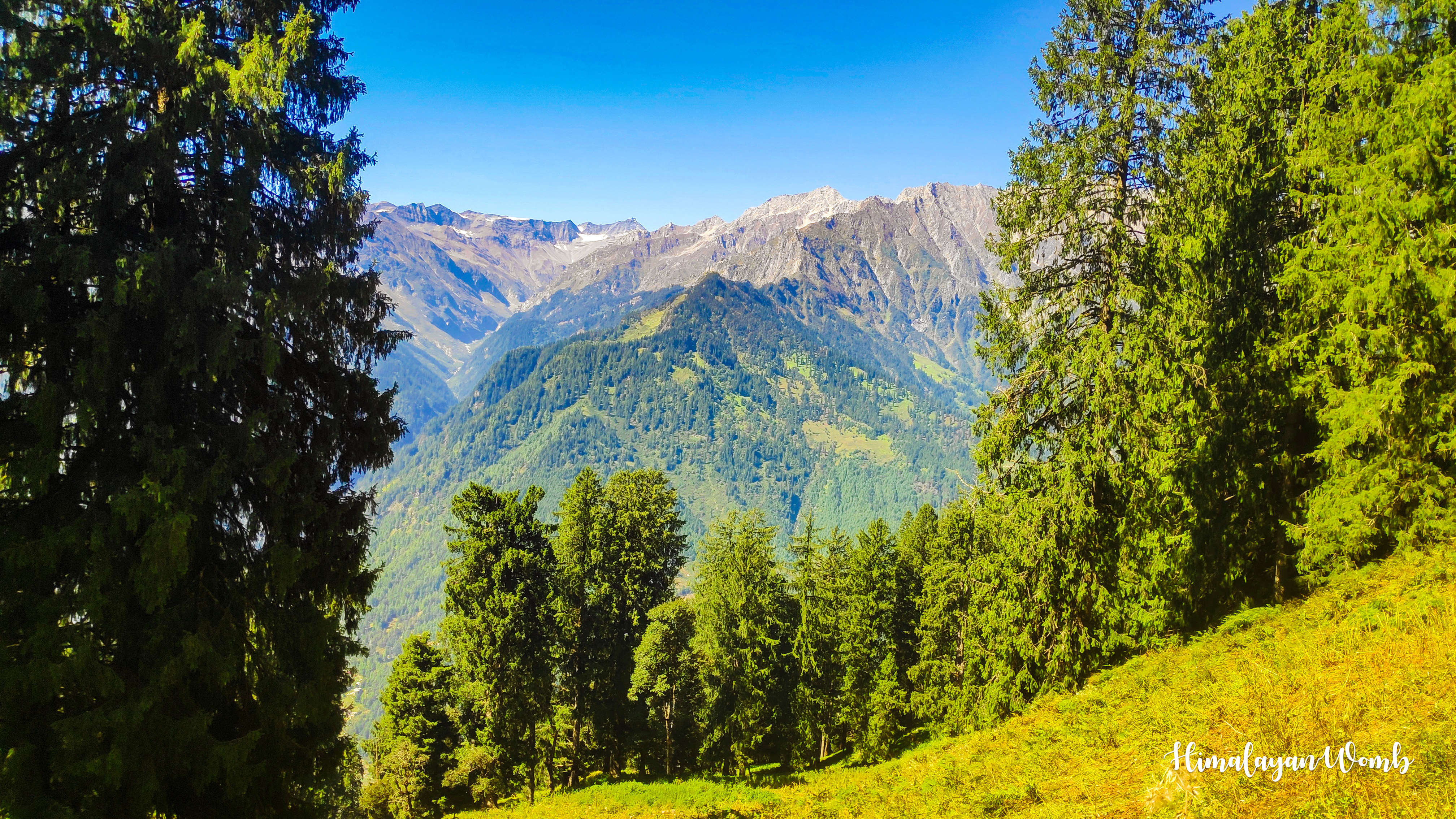
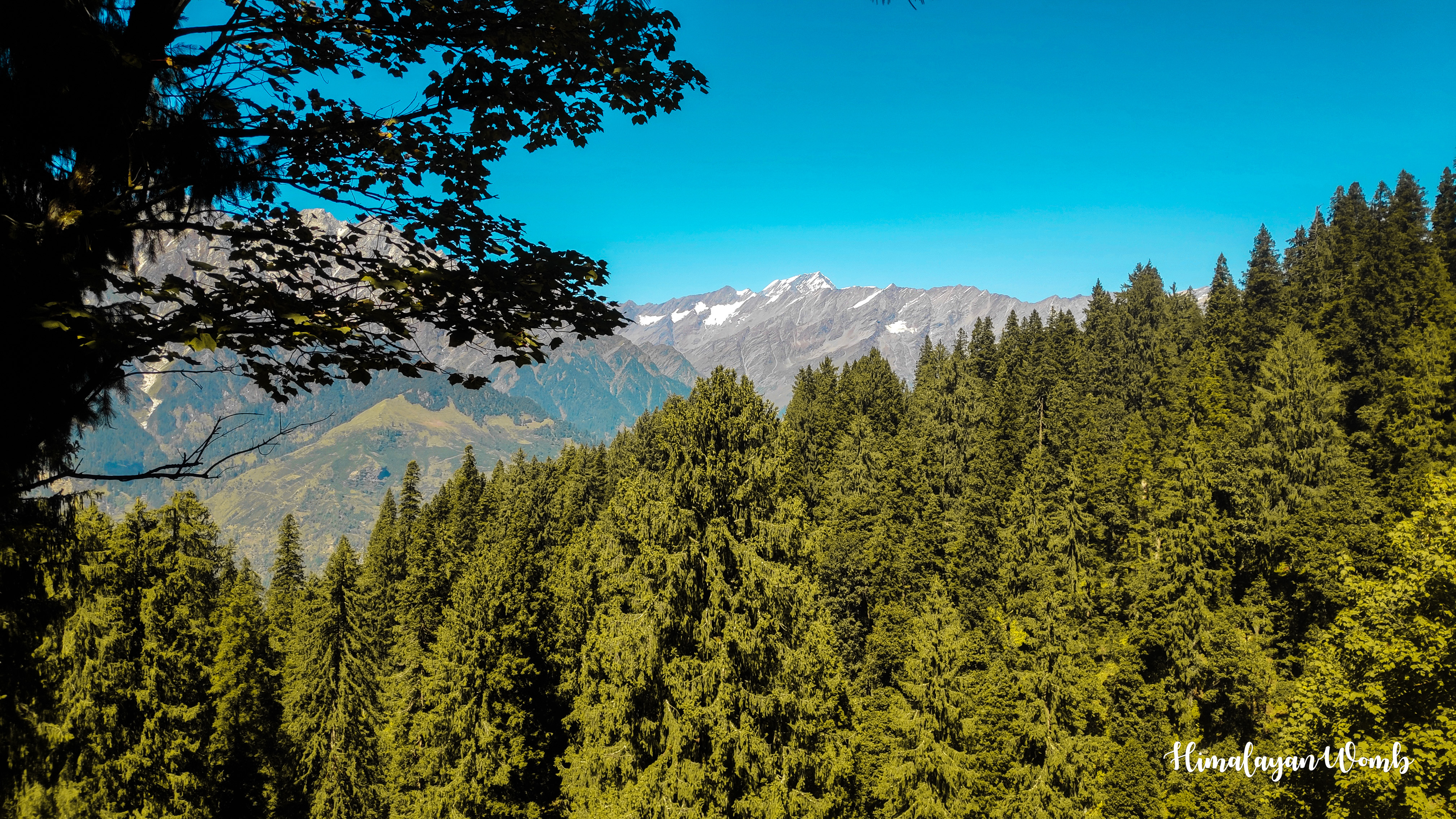
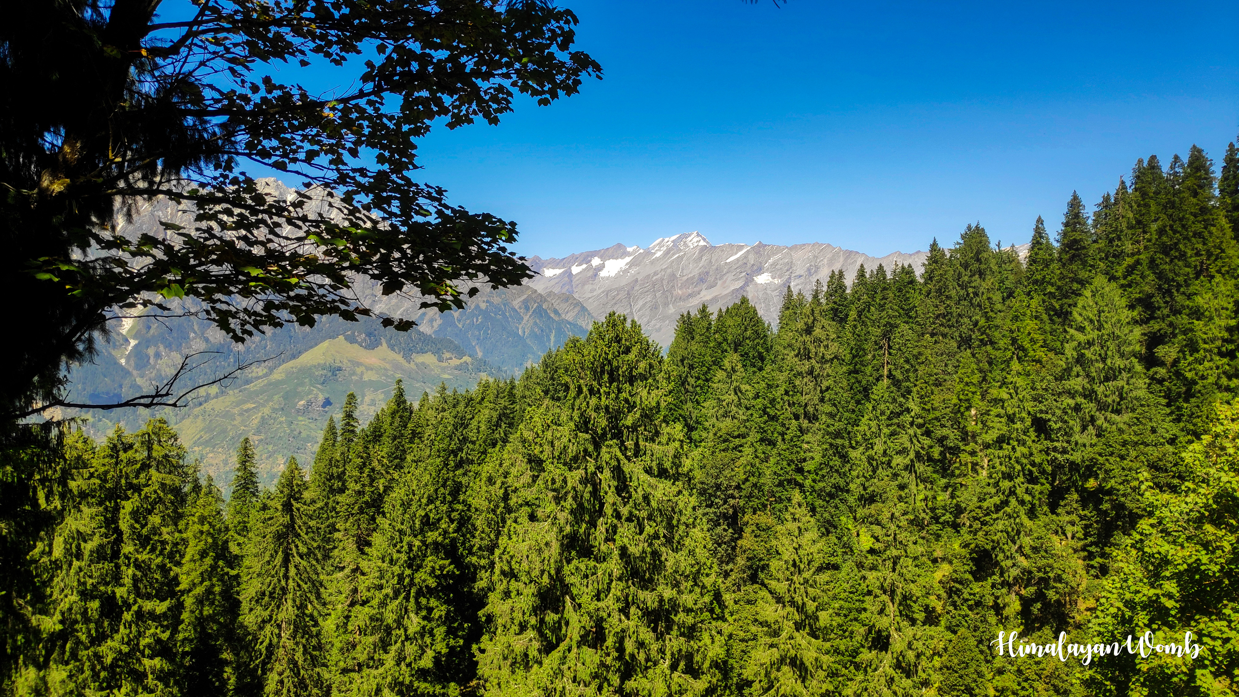
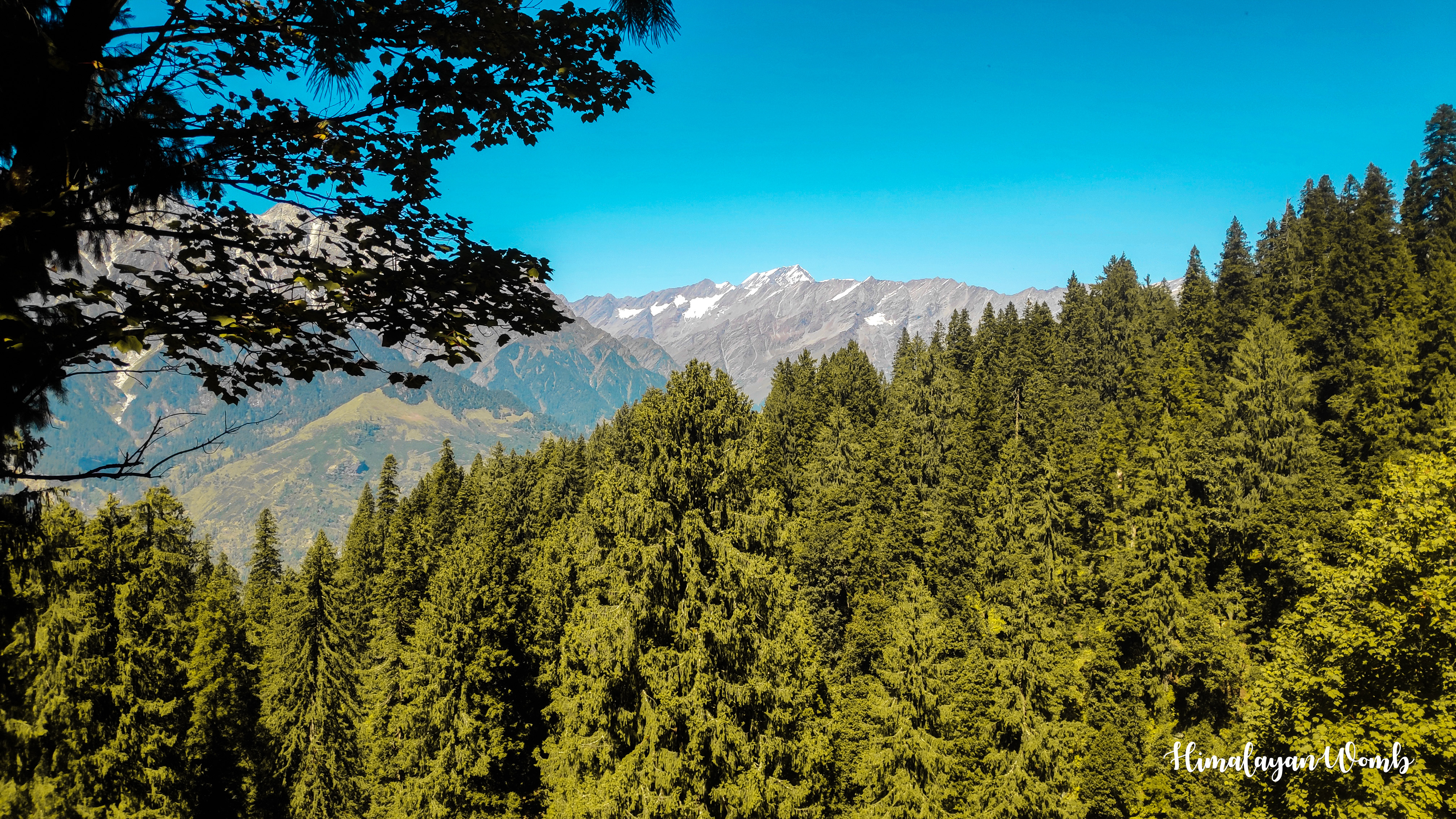
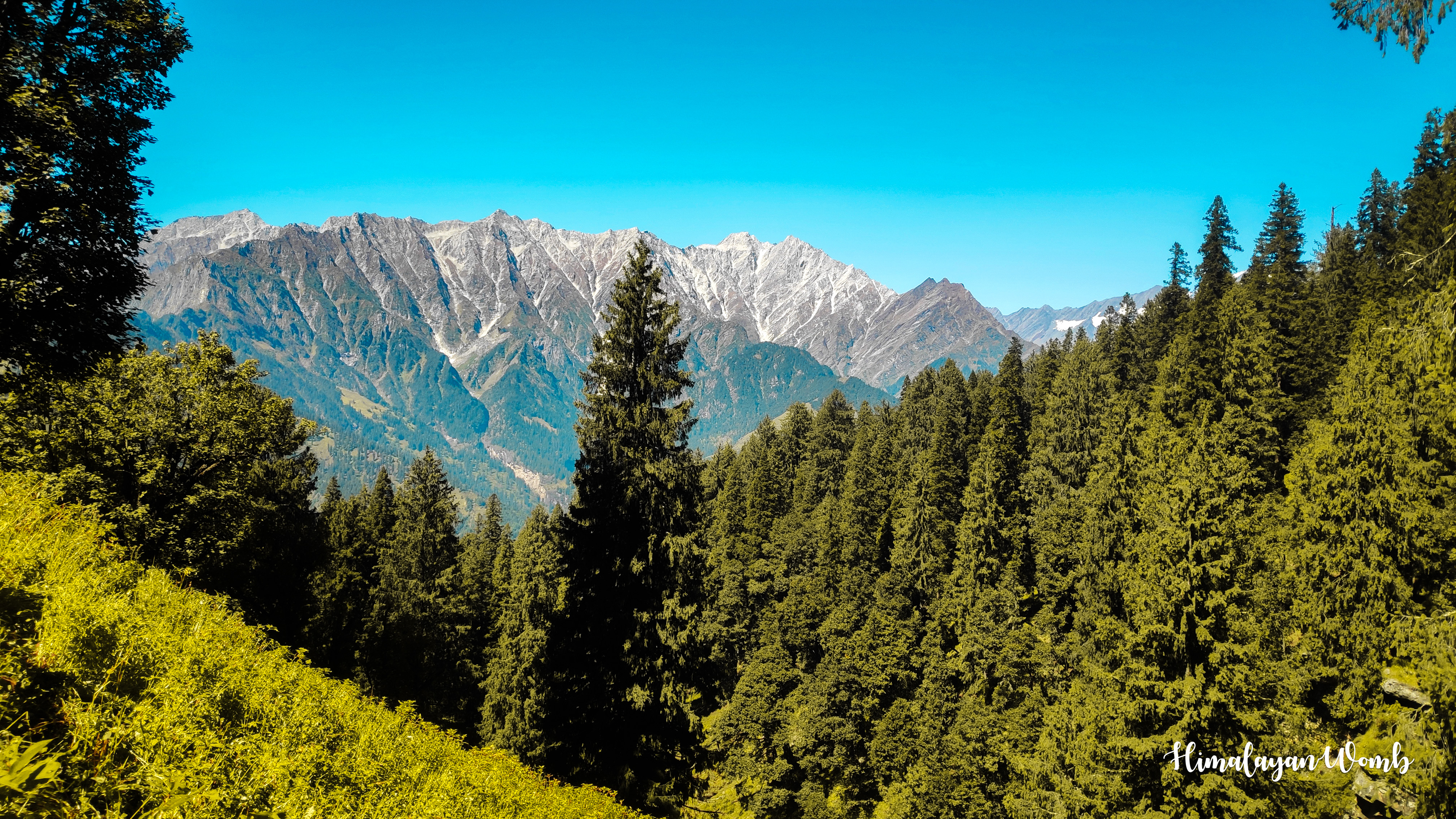
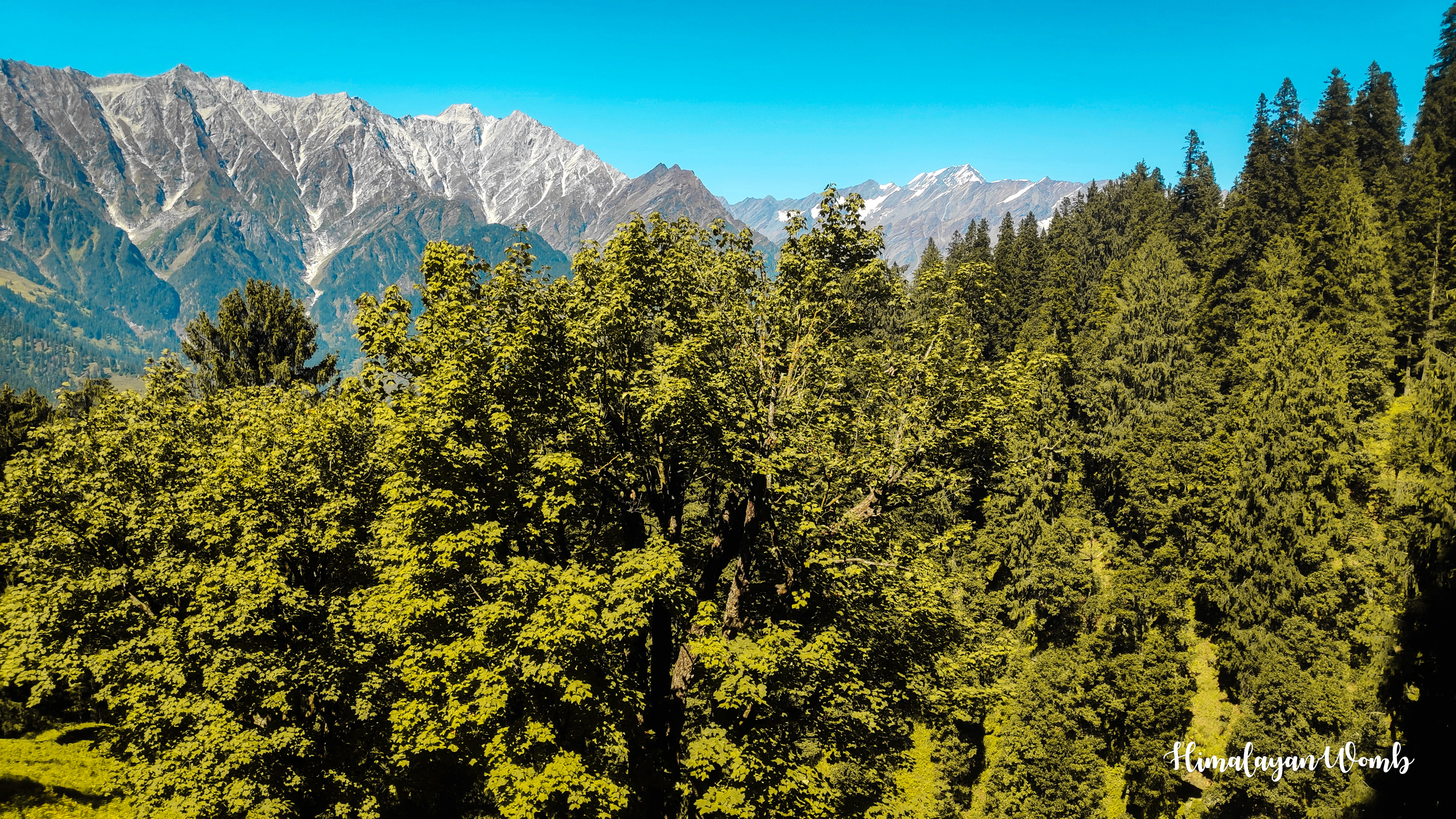
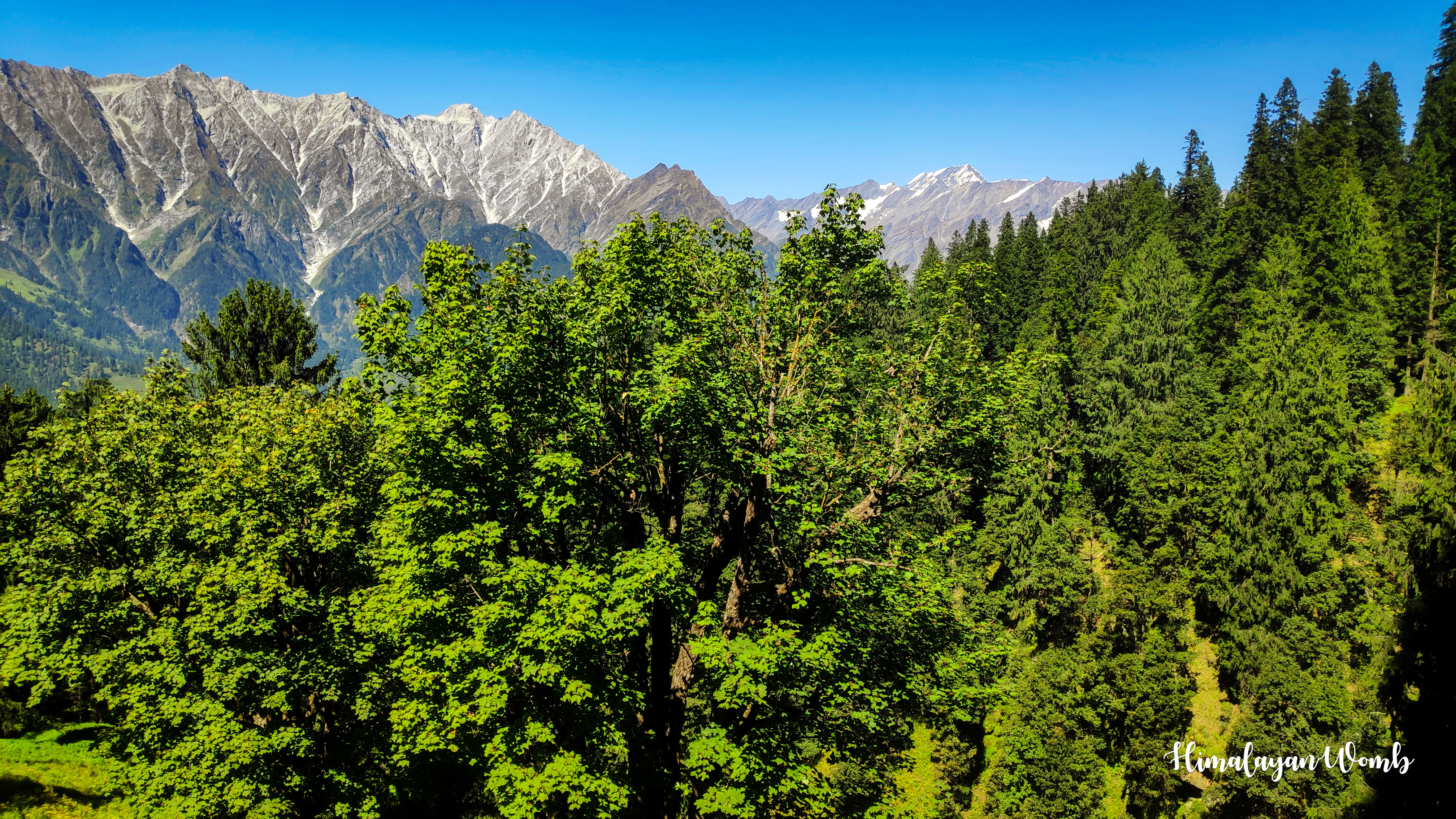
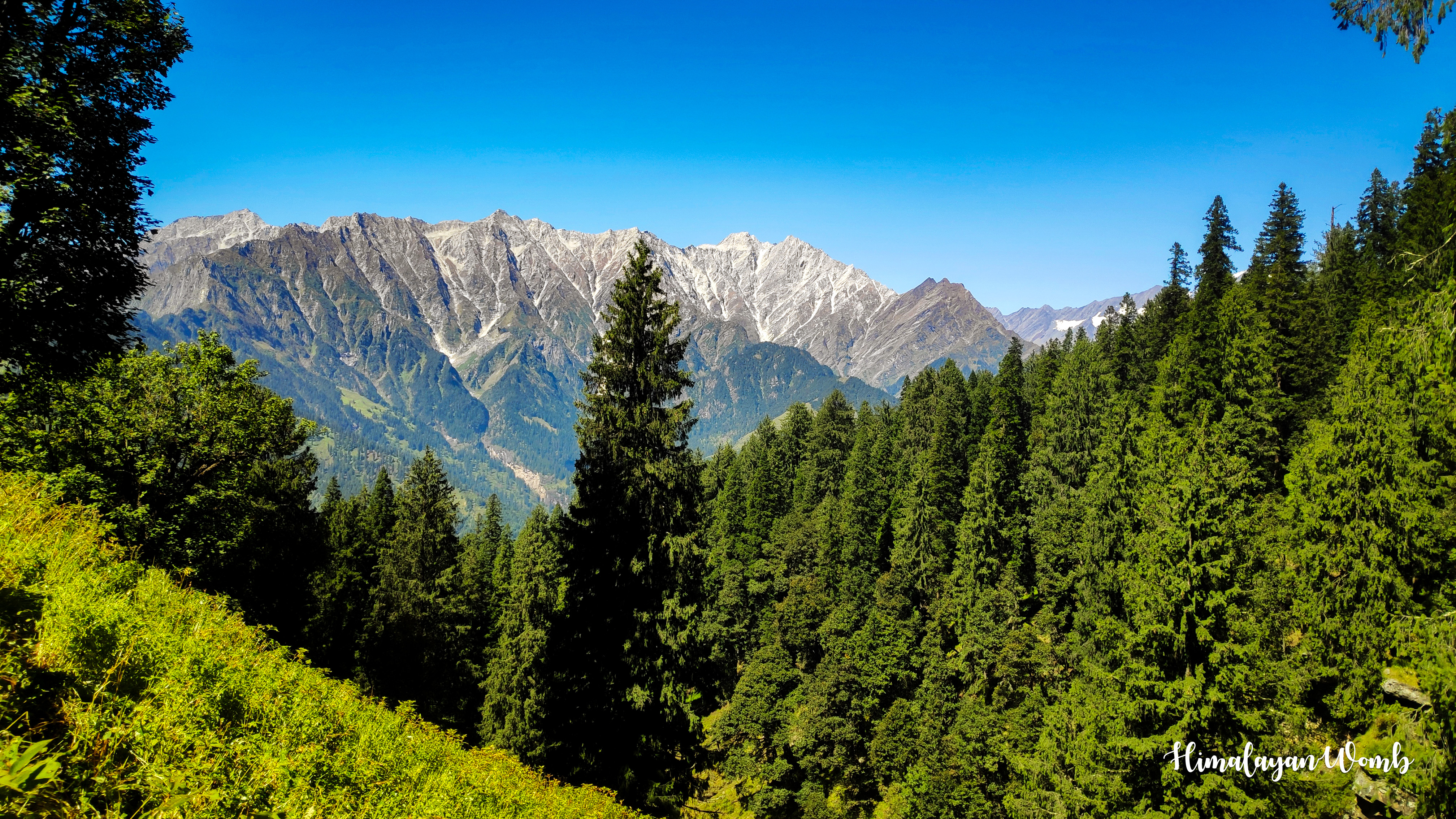
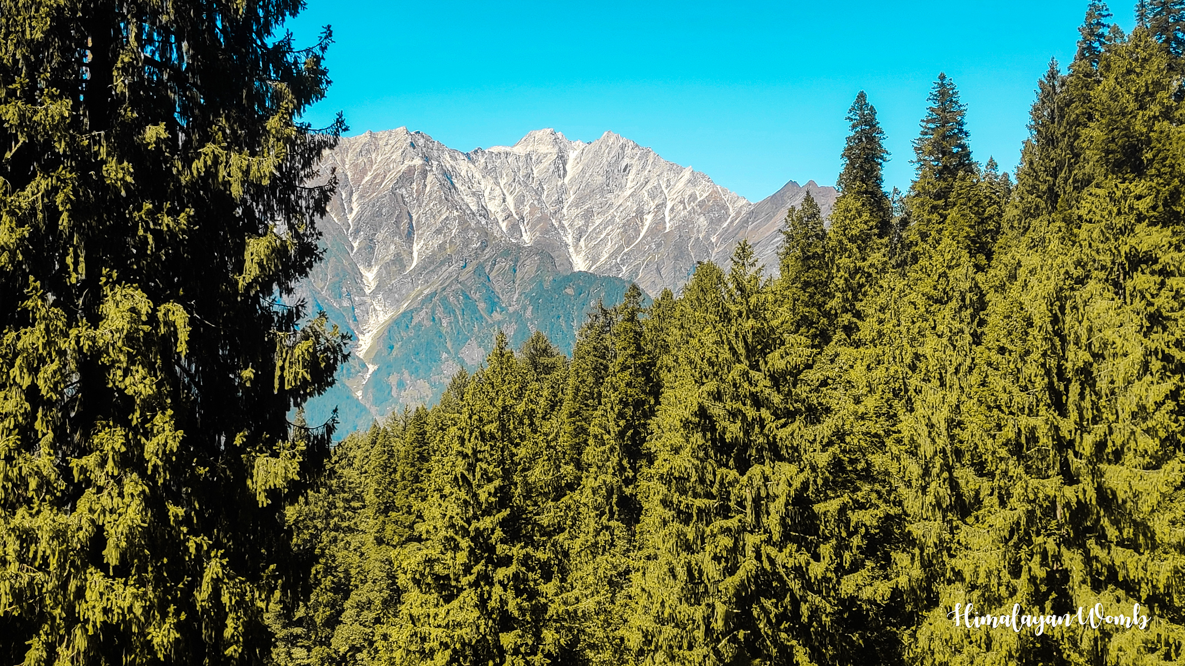
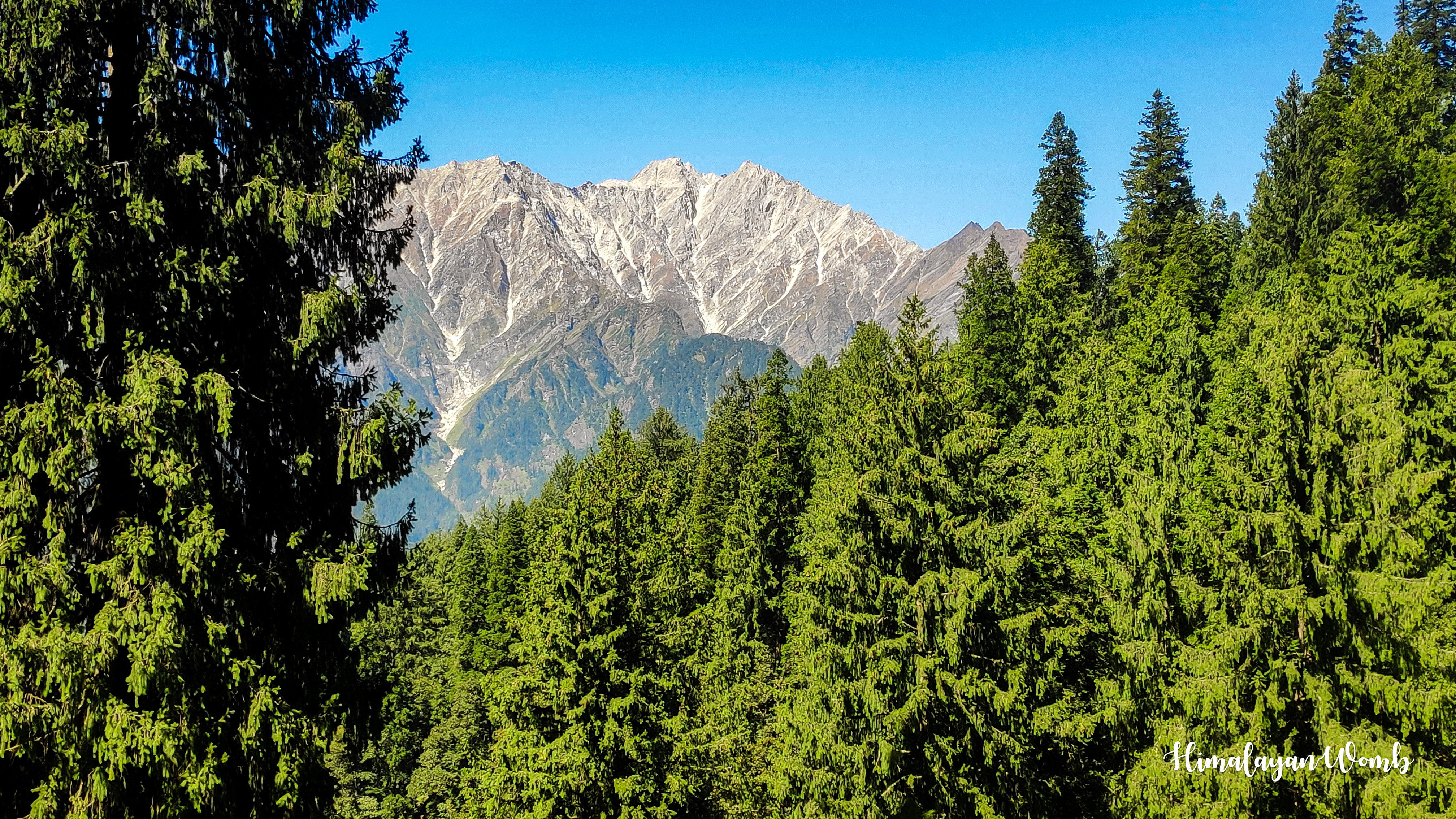
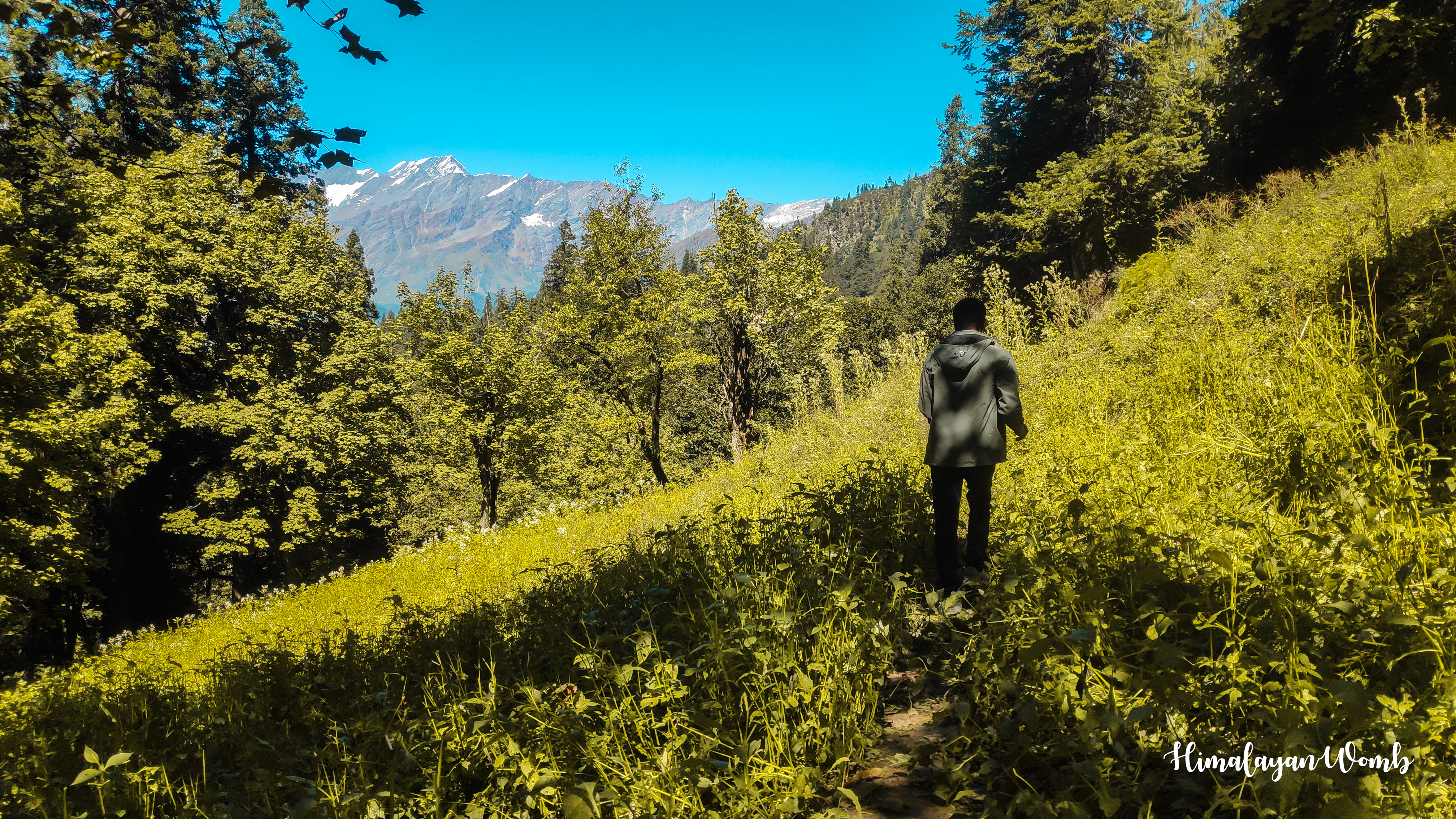
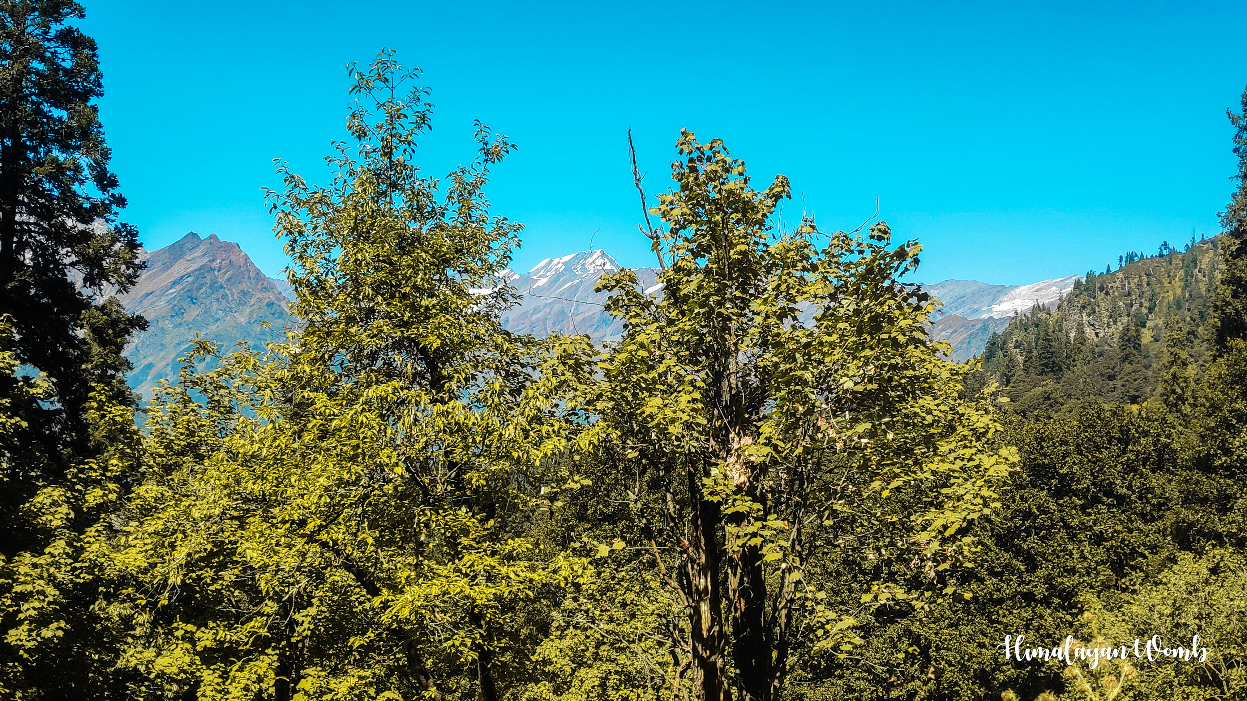
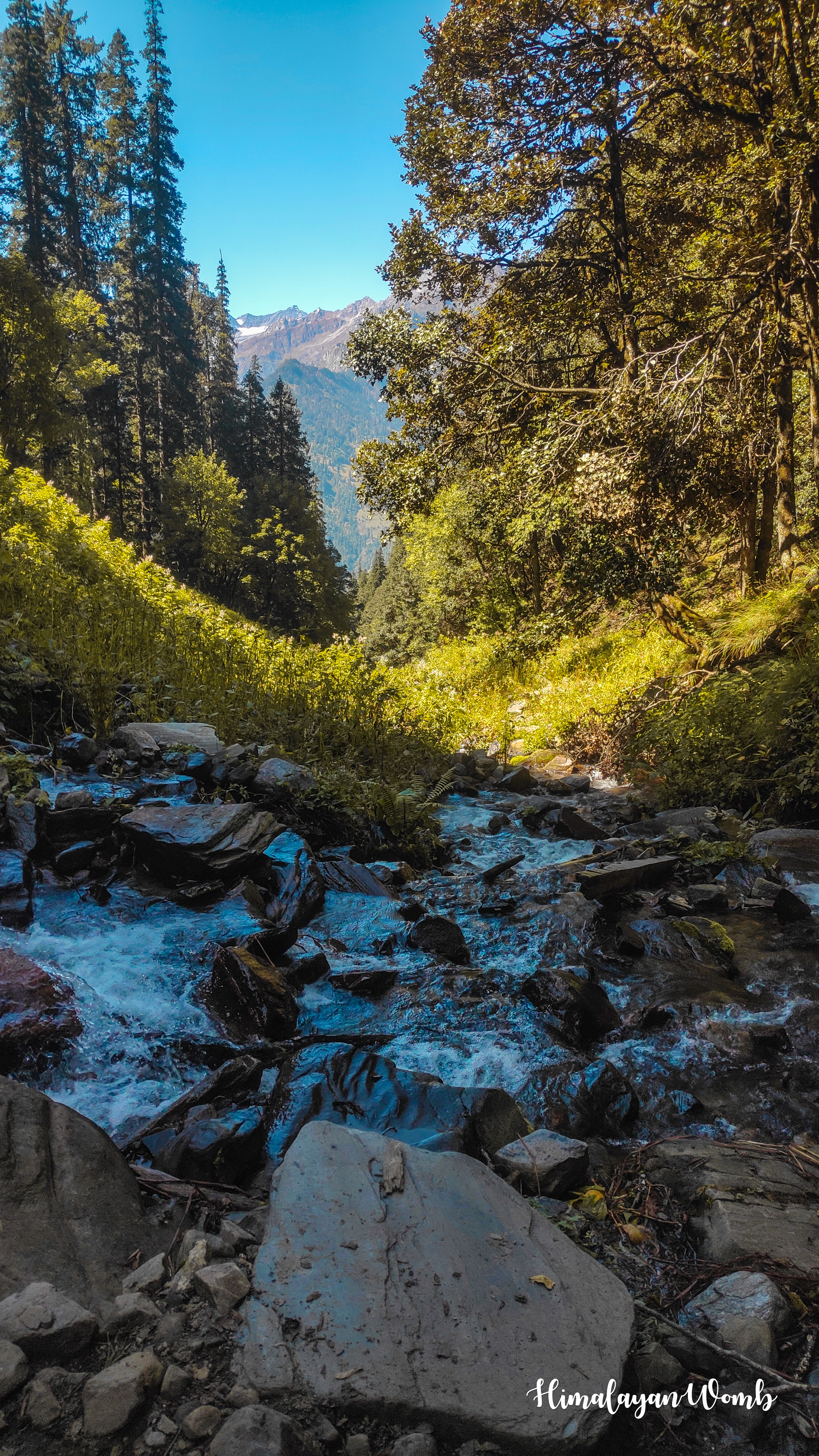
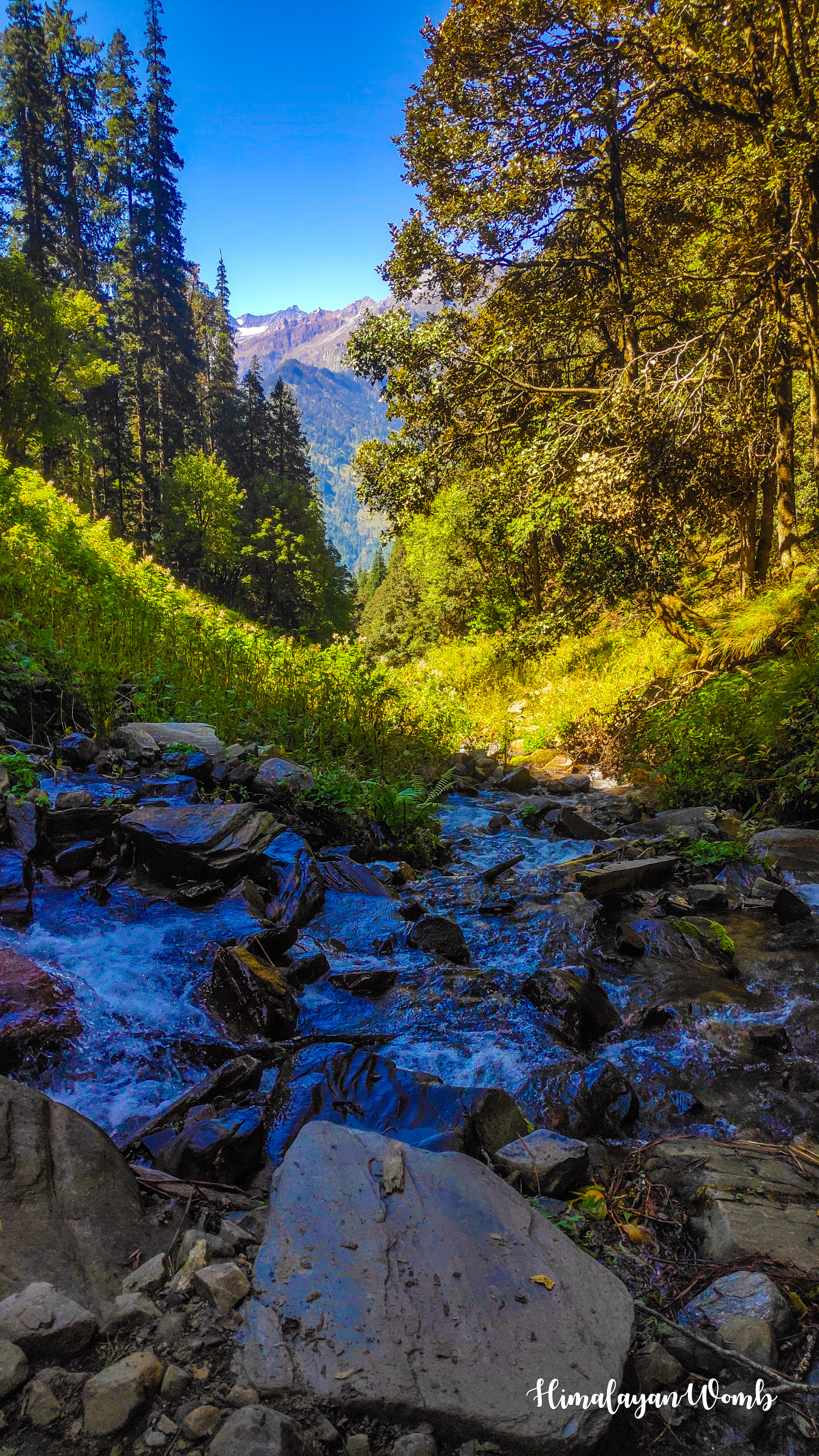
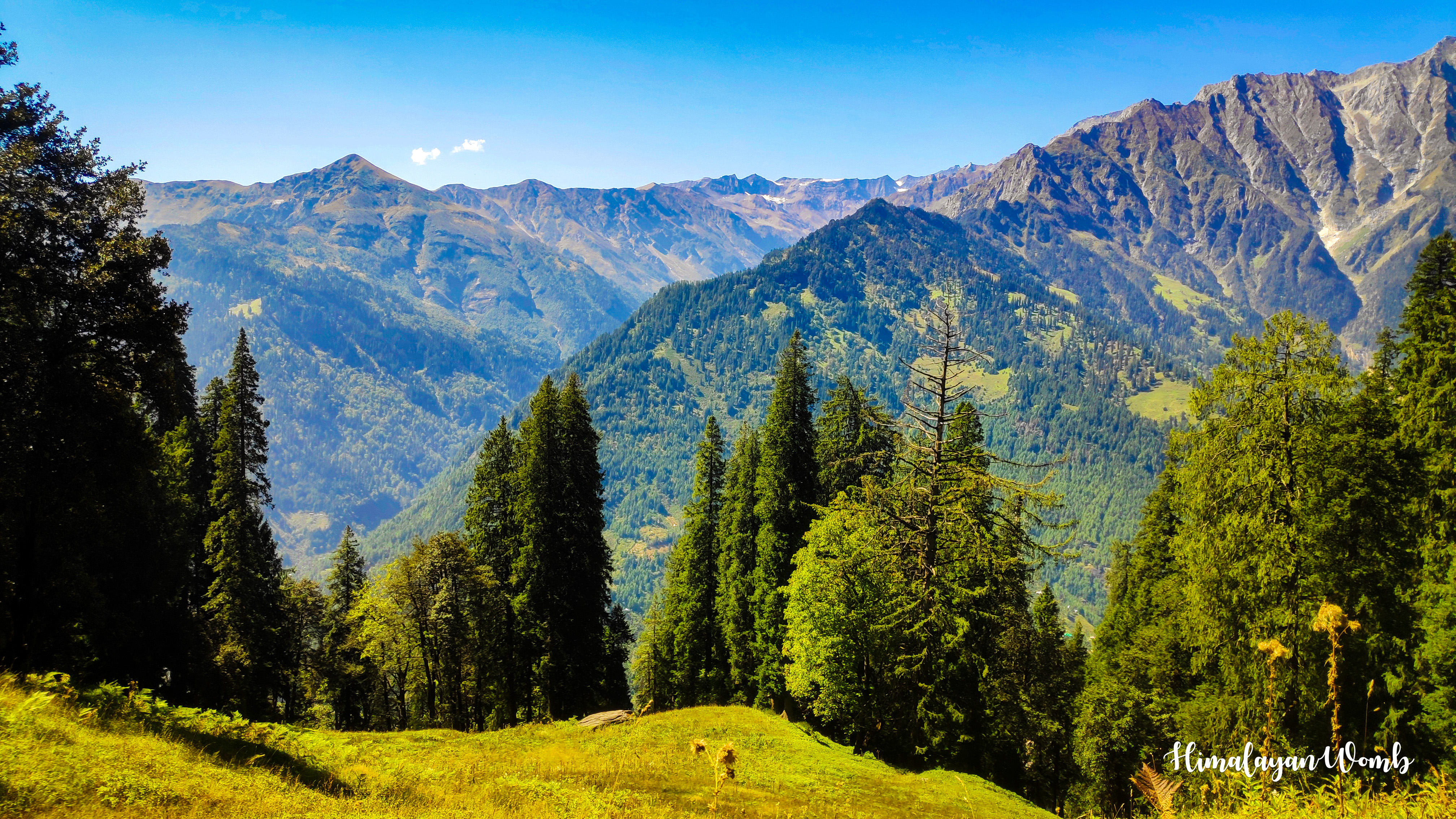
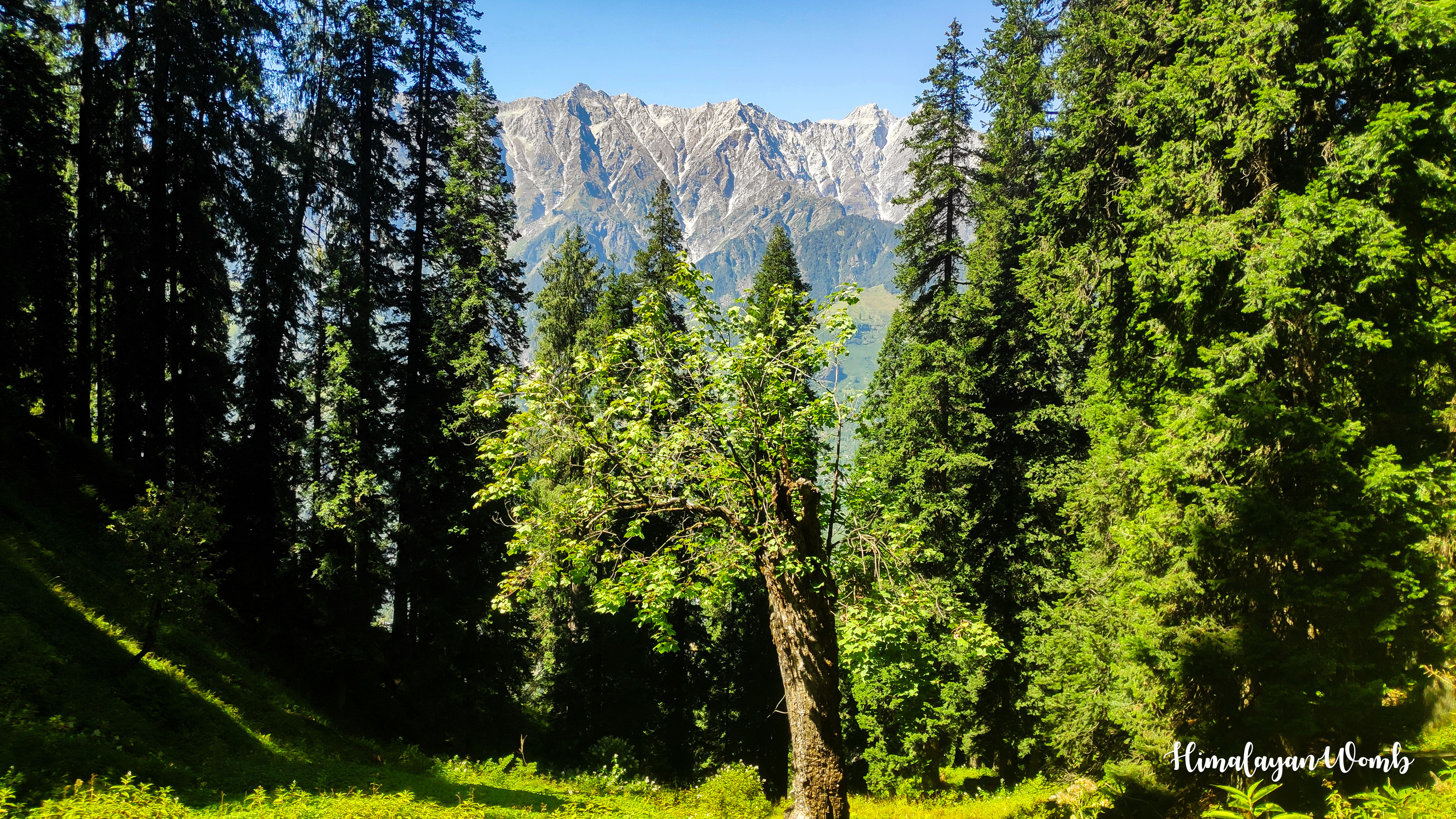
Today while walking we saw the beautiful views of Khampri Tibba, Lama Dug, Seven Sisters, Hanuman Tibba, Friendship Peak, Shikar Bah, Mukkar Bah, Ladakhi Peak, Goh Kincha and Patalsu Peak. Right now it is October so there is no snow but very soon winter will arrive in the entire Himalayas and all these mountains will be covered under a blanket of snow. And it will be impossible for anyone to reach here at that time of winter.
That's all for today, now tomorrow I will take you on a further journey from here. Tomorrow we will go from Mori Dug to British Bridge which is situated above Kothi village. Now I am leaving, take care of yourself and keep smiling.
Disclaimer: This post is originally written in Hindi and I have used Google Translator to translate the Hindi text in English. All the photos have been clicked by me from POCO F1 android smartphone and edited in deskstop software adobe lightroom. Thumbnail created adobe photoshop.
































You can check out this post and your own profile on the map. Be part of the Worldmappin Community and join our Discord Channel to get in touch with other travelers, ask questions or just be updated on our latest features.
Bahut sundar bade bhaii 🥰
Hiya, @glecerioberto here, just swinging by to let you know that this post made it into our Honorable Mentions in Travel Digest #2384.
Your post has been manually curated by the @worldmappin team. If you like what we're doing, please drop by to check out all the rest of today's great posts and consider supporting other authors like yourself and us so we can keep the project going!
Become part of our travel community:
This post has been manually curated by @bhattg from Indiaunited community. Join us on our Discord Server.
Do you know that you can earn a passive income by delegating to @indiaunited. We share more than 100 % of the curation rewards with the delegators in the form of IUC tokens. HP delegators and IUC token holders also get upto 20% additional vote weight.
Here are some handy links for delegations: 100HP, 250HP, 500HP, 1000HP.
100% of the rewards from this comment goes to the curator for their manual curation efforts. Please encourage the curator @bhattg by upvoting this comment and support the community by voting the posts made by @indiaunited.
Such a dream hiking in such wonderful dreamy green places and mountains.