Guerrilla por el centro de Cuba / Warfare in central Cuba (EN/ES)
Primera parte.
A pesar de que el viaje comenzaba el día 2 de agosto de 2019, ya nos tropezábamos con dificultades para reunir los suministros para sobrevivir a días “sin contacto con la civilización”. En ese momento, además de ser muy emotivo por el reencuentro de muchos después algún tiempo, sufrimos un inconveniente, y es que una de nuestras amigas a pesar de vivir tan cerca de la Terminal de Ómnibus, fue la que más tarde llegó. Tanto así que a la hora límite de rectificar los pasajes, fue que apareció y a pesar de estar a tiempo aun, su pasaje había perdido validez por culpa del mal trabajo y el apuro del personal responsable de chequearlos. Por suerte, al final logramos reunirnos todos en Cumanayagua.
Luego de como seis horas de viaje, llegamos a Cumanayagua, en donde nos encontramos con dos de nosotros que se nos habían adelantado pata gestionar el hospedaje de esa noche. Entonces nos guiaron hacia el que sería posteriormente, nuestro refugio pues, aunque no lo sabíamos, nos salvaría de morir hambrientos y apestosos.
Una vez ahí, nos bañamos, nos repartimos en las diferentes habitaciones disponibles y muchos nos pusimos al día con nuestras vidas. Pero, dada las dificultades con el transporte disponible y los tiempos, hubo que reestructurar el itinerario del día siguiente. Nos tuvimos que debatir entre si cumplir con lo planeado de trasladarnos hacia la presa Hanabanilla, o si ir directo hacia El Nicho, en donde igual podríamos pasar por otro punto del Hanabanilla. Pues nos decidimos por ir directo a El Nicho, y nos organizamos por grupos de dos y tres personas para ir a marcar en la cola de la terminal desde las 12 de la madrugada.
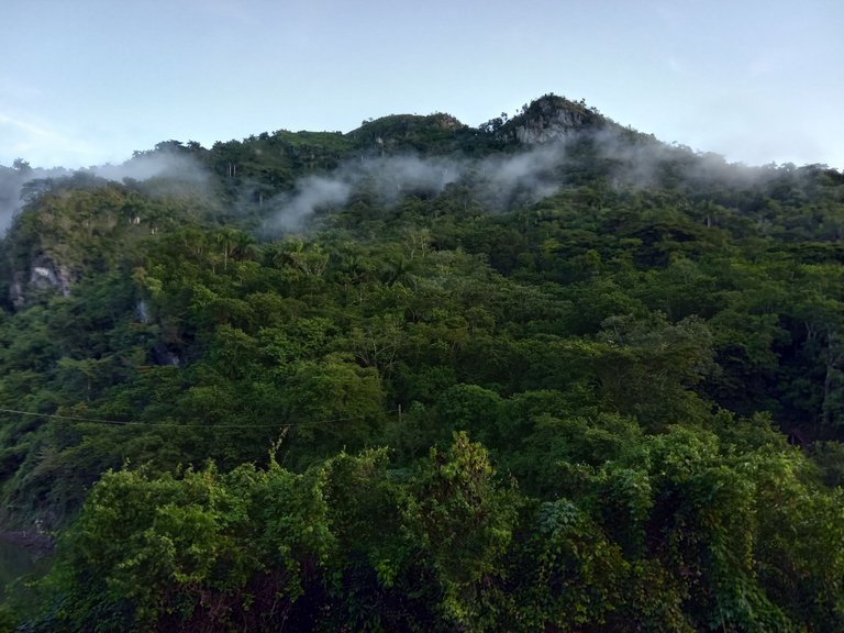
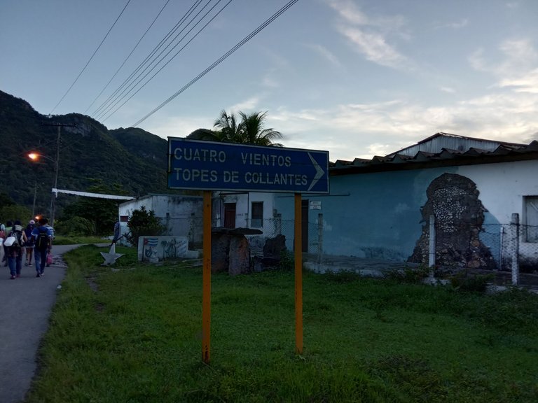
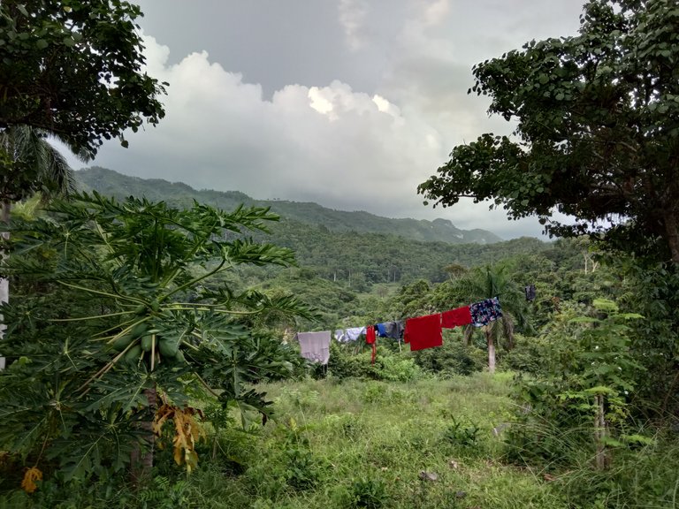
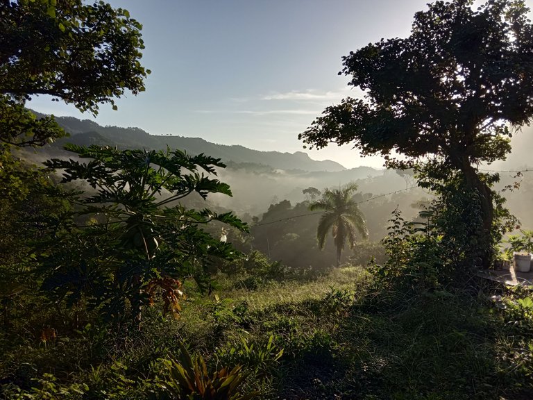
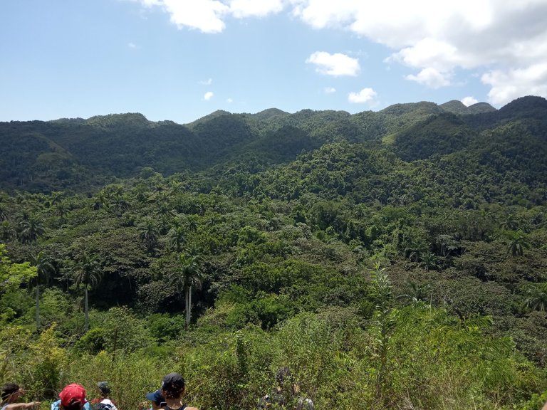
Al llegar al poblado de Cuatro Vientos, preguntamos por orientación hacia el Hanabanilla, y la gente, al vernos con mochilas al hombro como quien llega a un lugar muy turístico, nos miraban con extrañeza y de la misma forma, nos indicaban el camino a seguir. Ya aquí me llamó mucho la atención que se podían ver las nubes sobre las montañas.
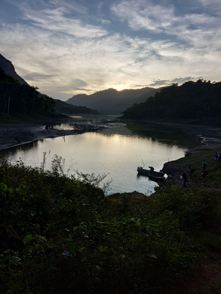
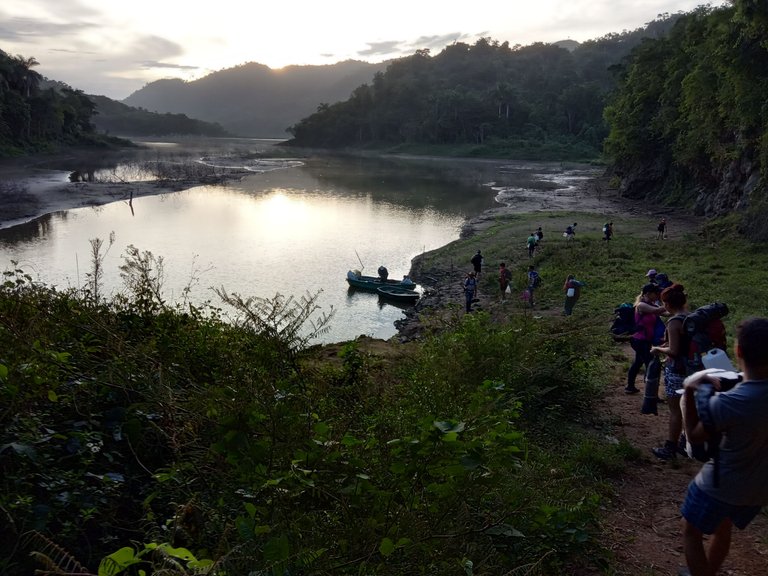
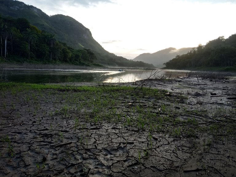
Se trataba de un senderito de bajada que nos ilusionaba, pues contaba con una buena vista del paisaje, pero al avistar desde cierta distancia a nuestro destino, la desilusión fue algo impactante pues, aunque habíamos llegado al primer objetivo puntual de nuestro itinerario, esa parte de la presa se veía como un área pantanosa y mortecina. Incluso así, seguimos la bajada y llegamos. El caminar se nos dificultaba ya que, si nos manteníamos mucho tiempo en un área muy suave, se nos hundían los pies. Sin embargo, conseguimos buenas fotos del amanecer.
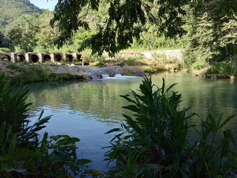
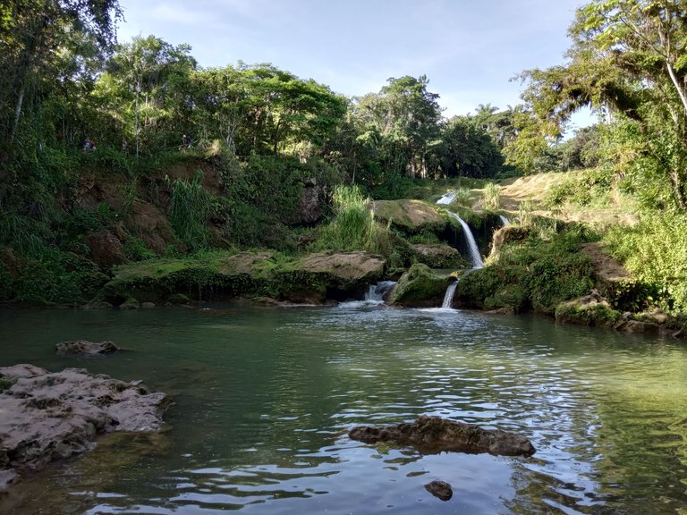
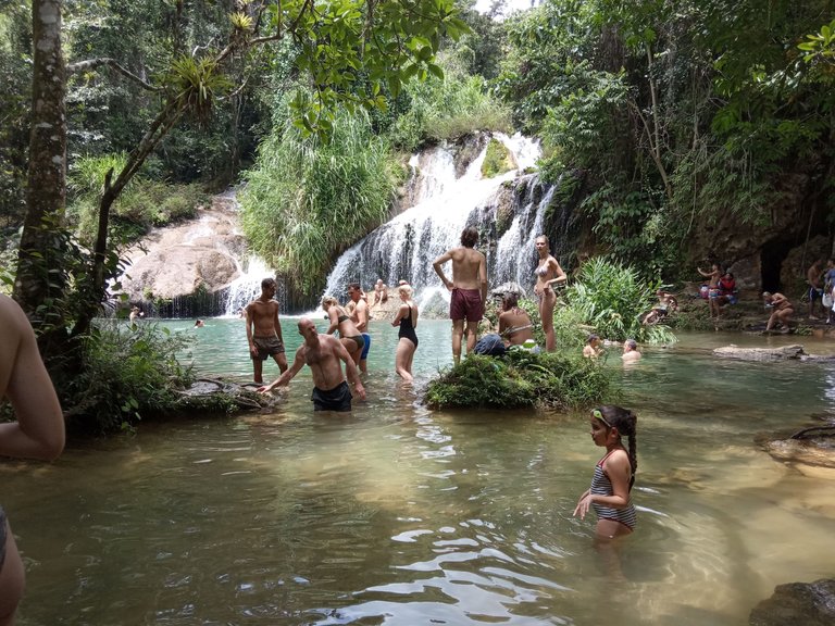
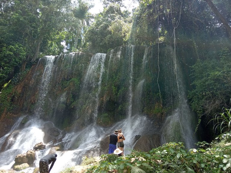
Al regreso, dado que se nos arruinó el plan del Hanabanilla, decidimos hacer ese mismo día el recorrido de El Nicho y pudimos disfrutar de aquel hermoso lugar y su extremadamente congelada agua de las pocetas. Ese día, al anochecer, ya nos topamos con las primeras dificultades, ya que luego de establecernos para acampar a un lado de la carretera, empezó a llover en medio del proceso de cocinar.
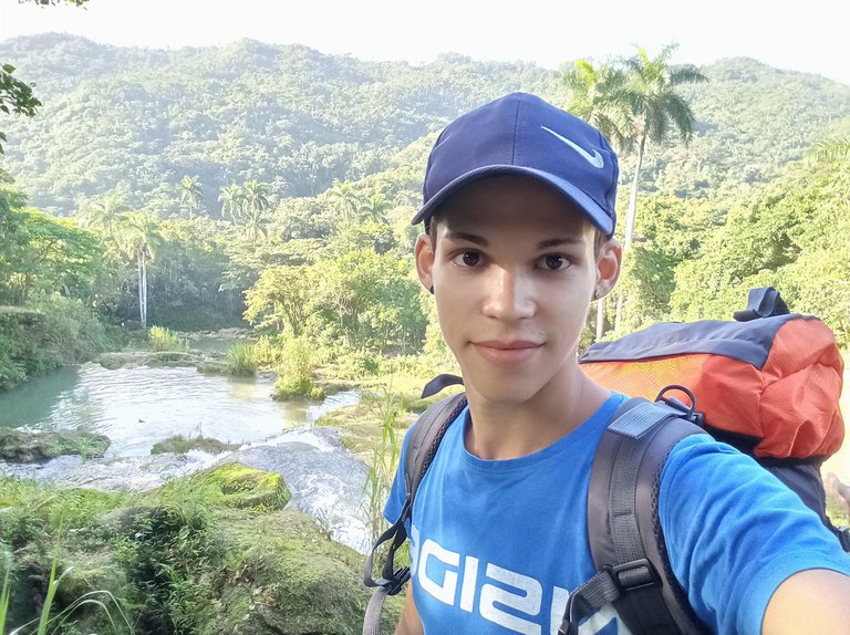
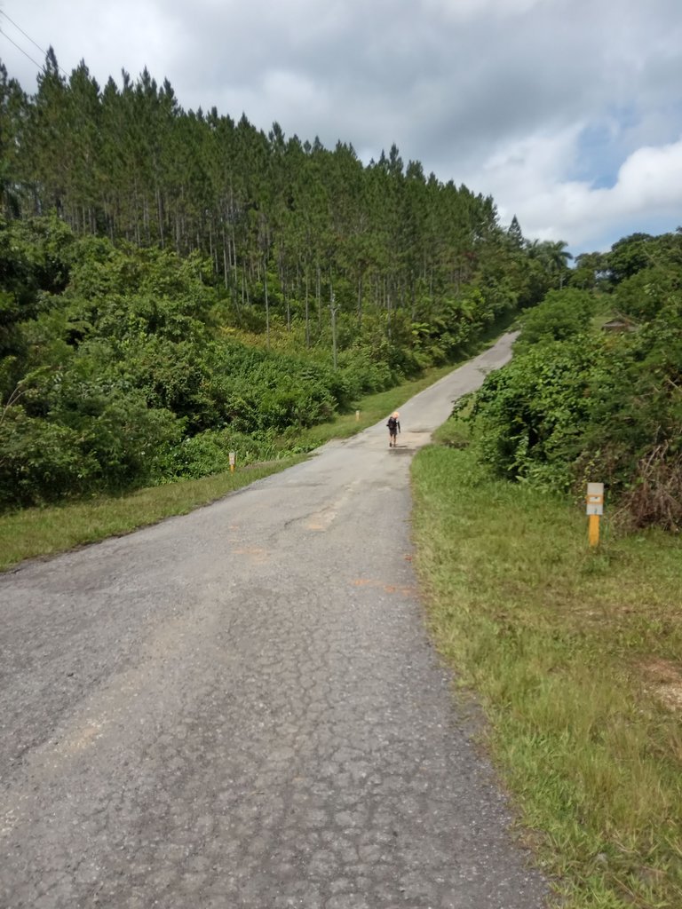
Al otro día, comenzamos lo que sería el capítulo del ascenso al San Juan; el punto más alto de la región central de Cuba. Luego de recogerlo todo, nos dispusimos a caminar por carretera unos seis kilómetros hasta un punto, en el que teníamos que adentrarnos en la vegetación por un sendero que sería reconocido por nuestro capitán. Lo que sucedió fue que dados los cambios sufridos en el entorno desde la última vez que él estuvo por ahí, nos topamos con un punto que le pareció similar al que buscábamos, pero seguimos la caminata y al final cuando nos reconocimos perdidos y preguntamos por orientación, tuvimos que regresar par de kilómetros para atrás hacia ese mismo punto. Casi toda aquella caminata transcurrió bajo un buen aguacero que nos empapó hasta la médula, y continuamos el camino monte adentro aun más complicado por el fanguero y las piedras resbalosas.
Luego de varias caídas graciosas por parte de las chicas, los traseros enfangados, y las apariciones de Gandalf entre nosotros, logramos llegar al bohío de Chávez, donde nos encontramos a René; raro pero cierto. Ahí nos establecimos para acampar, medio que bañarnos en un riachuelo y cocinar (bendito banquete que nos dimos). Pero empezaron los malestares de estómago para muchos.
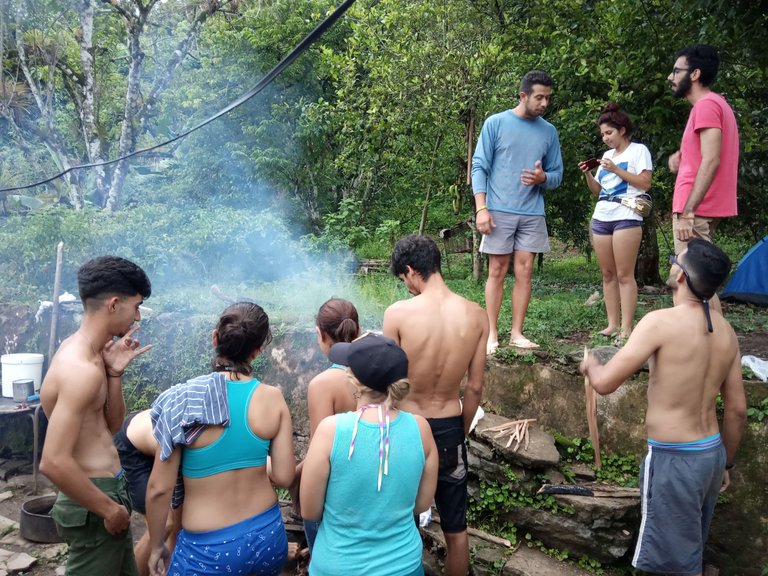
Al día siguiente, nos despedimos y comenzamos realmente el ascenso. Fue cuando comenzó de verdad lo complicado; un portal a un mundo de talanqueras, chichicates y unicornios. Todo lo que conocíamos hasta entonces se convirtió en lomas complicadas, perdederas no tan momentáneas, audios poco fiables, laderas inclinadas, avispas, pero mucha unión, ayuda mutua, aliento y ganas de conquistar el mundo.
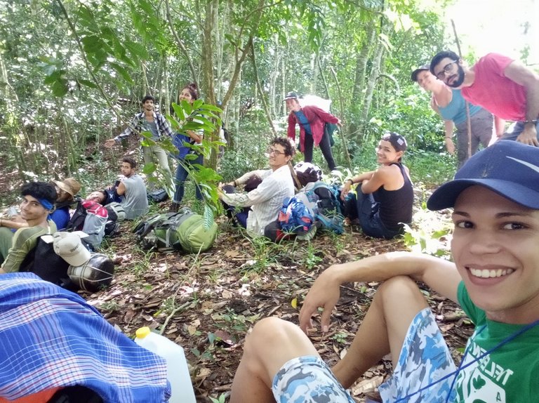
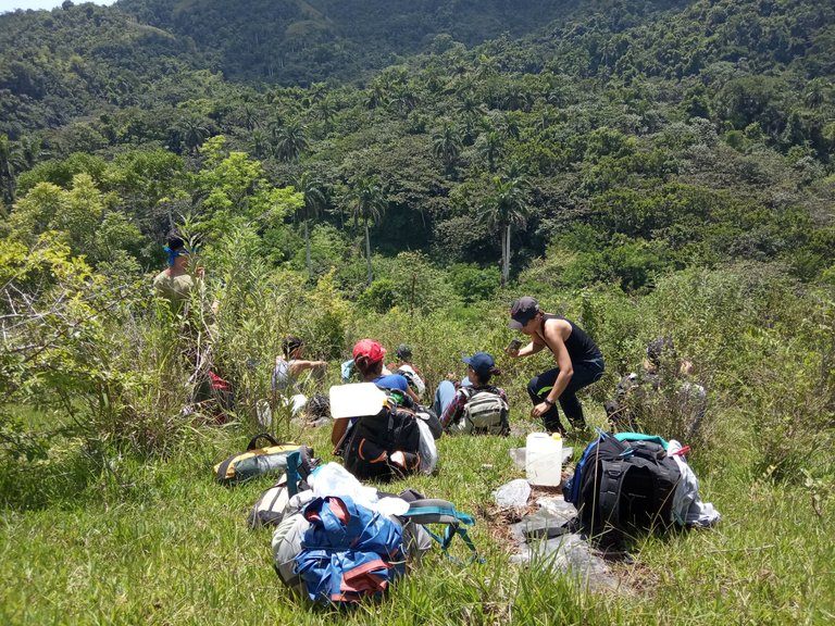
Ese mismo día, luego de muchísimas dificultades y frustraciones por no dar con la ruta indicada, luego de intentarlo por varios senderos existentes, aunque poco transitados y otros que nos abrimos nosotros mismos, aun cuando nos comenzaba a llovernos encima de nuevo, logramos encontrar el fondo de un cañón que parecía del período paleolítico, con helechos arborescentes muy espeluznantes y misteriosos. Chapeamos como pudimos, pues anochecía, además y bajo lluvia a ciegas, acampamos y comimos, perdidos y mojados, pero estoicos.
Continuará...
........................................
English version
First part.
Although the trip started August 2, 2019, we were already having difficulties to gather the supplies to survive the days "without contact with civilization". At that moment, besides being very emotional because of the reunion of many after some time, we suffered an inconvenience, and that is that one of our friends, in spite of living so close to the Bus Terminal, was the one who arrived the latest. So much so that at the deadline to rectify the tickets, she showed up and although she was still on time, her ticket had lost its validity due to the bad work and the haste of the staff responsible for checking them. Luckily, in the end we were all reunited in Cumanayagua.
After about six hours of travel, we arrived in Cumanayagua, where we met up with two of us who had gone ahead of us to arrange lodging for that night. Then they guided us to what would later become our refuge, because, although we did not know it, it would save us from dying hungry and stinking.
Once there, we bathed, spread out in the different rooms available and many of us caught up with our lives. But, given the difficulties with available transportation and timing, the next day's itinerary had to be restructured. We had to debate whether to go as planned to the Hanabanilla dam, or whether to go directly to El Nicho, where we could still pass through another point of the Hanabanilla. We decided to go directly to El Nicho, and we organized ourselves in groups of two and three people to go to check in the queue at the terminal from 12:00 am.
When we arrived at the town of Cuatro Vientos, we asked for directions to Hanabanilla, and the people, seeing us with backpacks on our shoulders as if we were arriving at a very touristy place, looked at us strangely and in the same way, they showed us the way to follow. Already here I was struck by the fact that we could see the clouds over the mountains.


It was a small downhill path that we were looking forward to, because it had a good view of the landscape, but when we saw our destination from a certain distance, the disappointment was somewhat shocking because, although we had reached the first objective of our itinerary, that part of the dam looked like a swampy and deadly area. Even so, we followed the descent and arrived. Walking was difficult for us as, if we stayed too long in a very soft area, our feet would sink in. However, we did get some good photos of the sunrise.


On the way back, since our Hanabanilla plan was ruined, we decided to do the El Nicho hike that same day and we were able to enjoy that beautiful place and its extremely frozen water from the pools. That day, at dusk, we already encountered the first difficulties, since after setting up camp on the side of the road, it began to rain in the middle of the cooking process.


The next day, we began what would be the chapter of the ascent to San Juan; the highest point in the central region of Cuba. After gathering everything, we set out to walk by road for about six kilometers to a point where we had to enter the vegetation along a path that would be recognized by our captain. What happened was that given the changes in the environment since the last time he was there, we came across a point that seemed similar to the one we were looking for, but we continued the walk and in the end when we recognized ourselves lost and asked for guidance, we had to go back a couple of kilometers to the same point. Almost all of that hike was spent under a good downpour that soaked us to the core, and we continued the way inland even more complicated by the mud and slippery rocks.

After several funny falls on the part of the girls, muddy butts, and the appearances of Gandalf among us, we made it to Chavez's hut, where we met Rene; strange but true. There we set up camp, half bathed in a stream and cooked (blessed feast we had). But the stomach aches began for many.


The next day, we said goodbye and really started the ascent. That's when the tricky part really began; a portal to a world of talanqueras, chichicates and unicorns. Everything we knew until then became complicated hills, not so momentary losses, unreliable audios, steep slopes, wasps, but a lot of togetherness, mutual help, encouragement and desire to conquer the world.


That same day, after many difficulties and frustrations for not finding the right route, after trying several existing trails, although little traveled and others that we opened ourselves, even when it began to rain on us again, we managed to find the bottom of a canyon that seemed to be from the Paleolithic period, with very creepy and mysterious tree ferns. We pruned the weed the best we could, as it was getting dark, and under blind rain, we camped and ate, lost and wet, but stoic.
To be continued...

Créditos / Credits
Imágenes utilizadas /Images used:
Imágenes de mi autoría tomadas con mi entonces Redmi 6A / Images of my authorship taken with my then Redmi 6A.
Traducción / Translation:
DeepL
Has sido votado por
PROYECTO ENLACE
'Conectando Ideas y Comunidades'
PROYECTO ENLACE es un proyecto de curación de habla hispana enfocado en recompensar contenido de calidad y apoyar autores en su proceso de crecimiento en HIVE.
Creemos y apostamos por el futuro de esta gran plataforma, y estamos muy emocionados de poder hacerla crecer junto a esta comunidad. Así que te invitamos a publicar en nuestra COMUNIDAD y estar atento a todas las actividades que tenemos preparadas y que estaremos publicando en breve.
¿QUIERES AUTOMATIZAR TUS GANANCIAS DE CURACIÓN? SE PARTE DEL PROYECTO ENLACE APOYANDO A NUESTRO TRAIL EN HIVE.VOTE INGRESA AQUÍ PARA CONOCER LOS DETALLES.
¿QUIERES INVERTIR ENLACE? DESCUBRE COMO HACERLO Y GENERAR INGRESOS DE FORMA SEMANAL MEDIANTE TU DELEGACIÓN DE HP AQUÍ TE EXPLICAMOS COMO.
Te invitamos a participar en nuestro servidor de Discord: https://discord.gg/3S9y7BbWfS
Atentamente
EQUIPO ENLACE 2023
Wow, I loved the photographs 📸 Very interesting place. Walking through nature with family and friends is the best thing in life ❤️ Thank you for sharing 😃
Thank you for reading 🤗