At the Foot of the Drakensberg Mountains: Visiting the Blyde River Canyon Nature Reserve
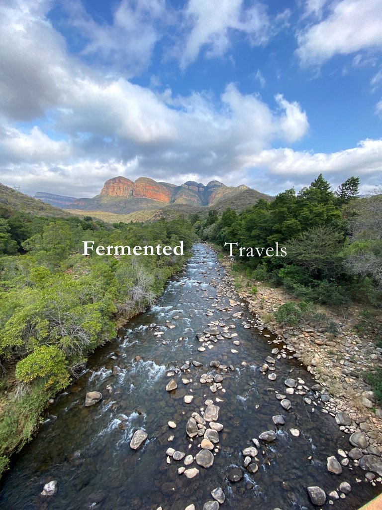
You stand at the foot of the mountain and you feel small. One of Southern Africa's biggest mountain ranges begins at this spot. Nestled between the canyons, the Blyde River forms a dam that was completed roughly 60 years ago. It feeds the local citrus farms and supplies water to the small populations. It has some dark history tied to it, according to what I could figure (but this is all my own speculation). But most of all, it presents us with some of the most beautiful views if you can get there! Purely in South African style, the roads are almost completely washed away. But the effort is surely worth it. So please join me on this journey as I take you to the foot of these mountains nestled at a spectacular dam in Mpumalanga, one of the nine provinces in South Africa.
The Dam Wall
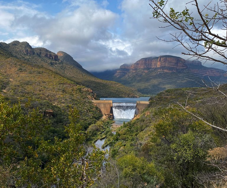
Before you arrive at the lookout point where the dam is situated, you see the massive Blyderivierpoort Dam wall. The water flows very strongly and impressively. Intrusive thoughts dare you to walk closer, to jump into the water. But the mind is not so weak so you know you cannot do that. We just stand there and marvel at the incredible feat of human construction.
See also the video below of how strong these waters flow.
The Views (And Some Speculative Stories)
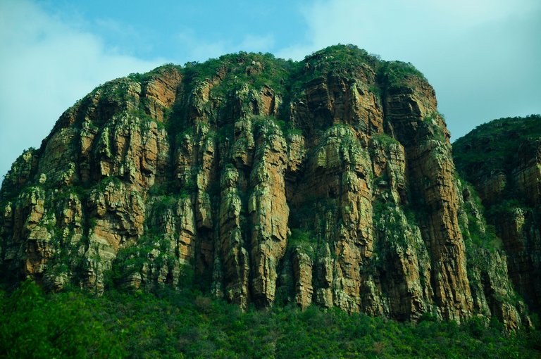
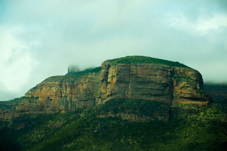
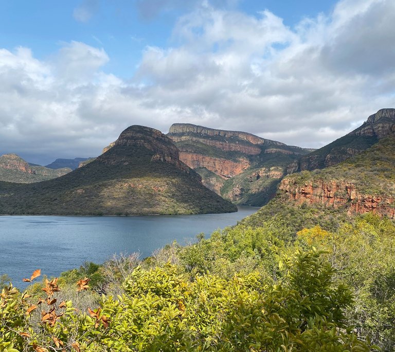
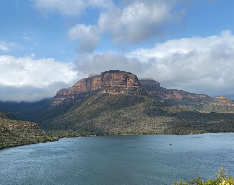
When you arrive at the lookout point, the mountain greets you with its spectacular beauty and magnitude.
The layers of rocks, which seems to be stacked onto each other with precision, look like a prehistoric animal trying to escape the earth. As the beginning of the mountain range, it is only a small "taste" of what is to come (if you know the Drakensberg Mountains).
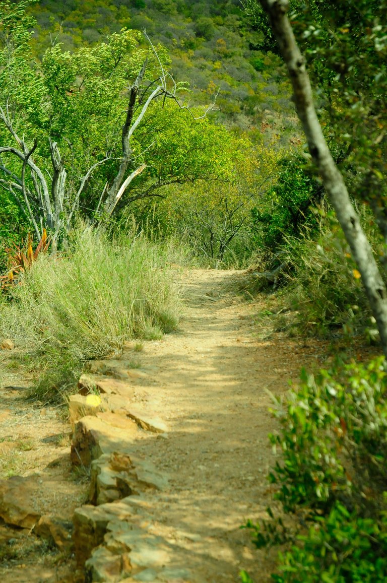
It calls your name to hike in them. I am not sure if there are any hiking trails that go into them. But there are hiking trails at the bottom of the mountains (I show this below).
But in reading the Wikipedia page of the dam I saw a specific line that caught my eye. Apparently in the 1960s, the local government "removed" a settlement by "compensating" them for the ground to build the dam (see the images below). As noted, the dam was created to feed the local citrus farms. Buried under the immense waters of the dam are "stone walled settlements, cultural artefacts and graves". This smells to me like a forced resettlement especially if you know the history of South Africa in those years. I can only imagine how cursed the waters must be. I would not be surprised if there are some haunted stories telling of ancient spirits trying to get out of the waters that bury them. We can only speculate on these stories and the reality behind the situation.
Here is also a video of how beautiful the walk is toward the lookout point:
The Animals
Whilst hiking, you can see various animals. Some of them you really want to see, think the many sorts of bucks and deers, but some of them you really want to avoid, think hippos and baboons. But the hiking routes are really beautiful and lure you in.
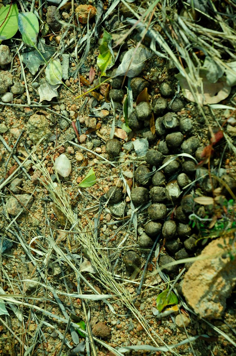
When we walked, we walked past many of these sightings; the droppings of some Kudus, as they roam these areas.
Here is also a very short video of them. They are very camera shy and we could not see much of them. The video is very short due to this reason.
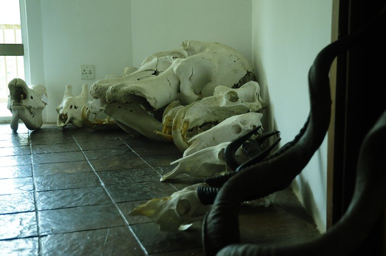
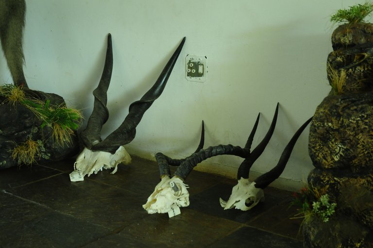
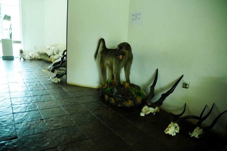
But here are some of the skulls of animals they have in the nature reserve. I hope that these animals died of natural causes and that they merely found their bones like this.
The Poor Roads: A Truly South African Experience
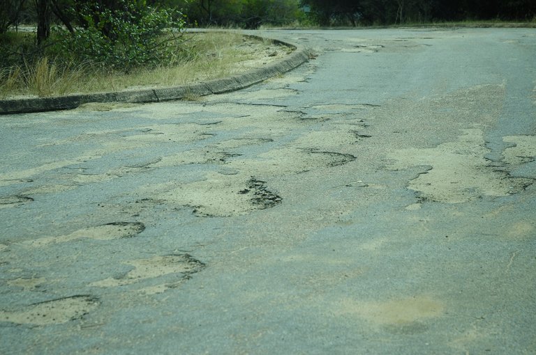
But to get to this beautiful spot, you need to traverse the rough South African roads. This is obviously an exaggerated case, but it is a uniquely South African situation due to the poor maintenance of our roads and mismanagement of funds. The photograph below is more like the usual problem, it is really this bad:
But this video is a bit worse than the normal case. But you need to drive this road to get to the dam lookout point:
Poscriptum, or A View to Yearn For
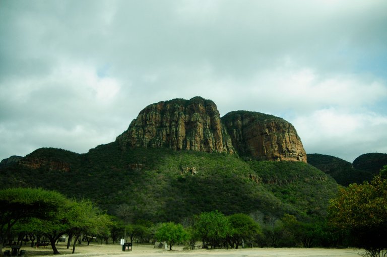
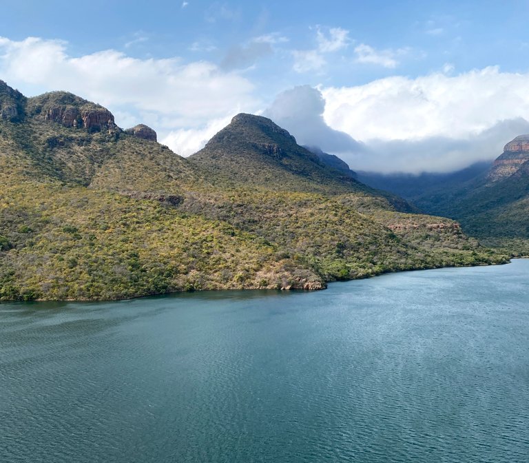
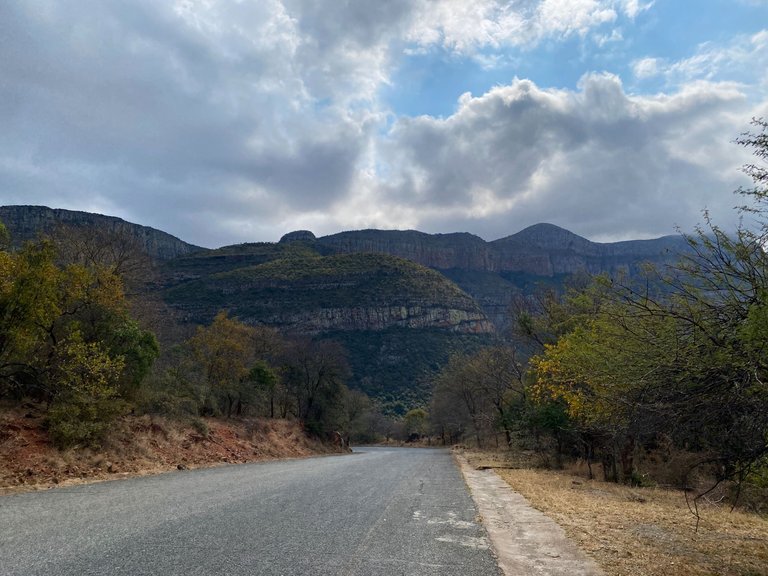
The views are really what made this trip and journey. As you drive through some of the thicket, the mountains again emerge and you are treated to the most beautiful views. It is really sad that the roads do not lean them towards inviting you as the normal car will surely suffer some damage. But if you can get there, you will be treated to the most beautiful.
This is as you drive out, and it really seals the deal or caps off the trip. It was something spectacular.
In any case, I hope you enjoyed this virtual journey with me. I tried to showcase it as we saw it so that you can also experience it. It was surely some of the most beautiful views I have ever seen. Do yourself a favor and visit here if you can.
For now, happy travels and stay safe!
All of the photographs and videos are my own, taken either with my iPhone or Nikon D300. The musings and writings are my own unless stated otherwise or hyperlinked.
Congratulations, your post has been added to Pinmapple! 🎉🥳🍍
Did you know you have your own profile map?
And every post has their own map too!
Want to have your post on the map too?
Charming landscapes. You cant find a !PIZZA there, I think? 🤔
Unfortunately not! But imagine having a pizza and beer with that view, right? Sad that they do not capitalise on the opportunity.
I mean, still possible to combine that view with digital pizza - here, at the blockchain 😛😁😁
So true! Haha. But still, real pizza with beer with that view would have been great! Keep well, my friend. May you be blessed with many pizzas.
$PIZZA slices delivered:
@qwerrie(1/5) tipped @fermentedphil
Such an amazing mountain formation,a beautiful nature indeed!
Exactly! We are blessed with beautiful scenery here. Thanks so much for the virtual visit! Keep well.
Hiya, @LivingUKTaiwan here, just swinging by to let you know that this post made it into our Honorable Mentions in Daily Travel Digest #1945.
Your post has been manually curated by the @pinmapple team. If you like what we're doing, please drop by to check out all the rest of today's great posts and consider supporting other authors like yourself and us so we can keep the project going!
Become part of our travel community:
Oh thank you so much for the mention! I really appreciate all of the hard work. Keep well.
Love those first photos, especially where you place the words on the first image. Well done!
Thank you so much, I really appreciate it. Always a process to find that first photograph!
When I was a schoolboy we hiked the canyon from the lookout down to the river. It was rainy and wet which it often is on the escarpment. One story stays in my head. One of my school friends had a different plan for getting down the steep path. He took his metal eating plate out of his bag - sat on it and used it to toboggan down the path. His fingers were not happy.
As for the roads, I am going to guess they may not have been sealed - we are talking 1971 or thereabouts.
Oh my, that could have ended much worse! But schoolboys know of many ways to do things! Glad that you enjoyed them. And the roads are a mess. Would have been better if they merely removed the bits of tar and made it gravel road.
This post has been rewarded with an upvote from city trail as part of Neoxian City Curation program
 . We are glad to see you using #neoxian tag in your posts. If you still not in our discord, you can join our Discord Server for more goodies and giveaways.
Do you know that you can earn NEOXAG tokens as passive income by delegating to @neoxiancityvb. Here are some handy links for delegations: 100HP, 250HP, 500HP, 1000HP. Read more about the bot in this post. Note: The liquid neoxag reward of this comment will be burned and stake will be used for curation.
Thank you so much for the curation! I really appreciate it.
Well done on the legendary upvotes there for your blog post today. Masses of photos seems to be the secret, and good text.
Thank you so much my friend. Best trick is to find what works for you and your abilities and equipment and hone in on it.
Oh how many memories I have of the Blyde River Canyon. I have hiked it and other magnificent trails. But easily over 20 years ago. Such a special part of our country. I'm glad you're experiencing this beauty
Indeed! It was so beautiful, but the road was and is terrible. You need a 4x4 to get to that lookout point. Wish we could do longer hikes, but that is an adventure for the next time.
All those years ago we had to take in a 4x4. We did a couple four day hikes over the early years. Amazing.
So jealous! I wonder if you can still do it there and if it is safe? Would be such a wonderful experience.
These Dragon Mountains are breathtaking!!!!
Africa is an unfamiliar and mysterious part of the Earth for me. I would like to investigate in the future. Is it safe to swim in this river? Are there no crocodiles?
They are indeed impressive! Thank you so much for the visit and for taking the journey with me. I am sorry for only responding now.
Yes, unfortunately there are crocodiles and hippos in the area. So it might be a bit dangerous to swim there.