Entrenamiento de Caminata de Montaña El Toquito - Pista 9.31K
Greetings friends of Hive and @fulldeportes, today I am going to share with you my mountain walking training on the El Toquito - Pista hill route, in the community of Villa de Cura, Aragua state, Venezuela.
Cabe destacar que para este entrenamiento le había mandado mensaje por teléfono al amigo que siempre me acompaña y me contestó que no era seguro que iría. Así que me levanté a la 5:30 am, y lo estuve esperando, pero no apareció, hice mis calentamientos antes de salir y active la aplicación Actifit y Strava para salir a la 5:56 am, pasando por el centro de Villa de Cura, para después comenzar a subir y llegar a la comunidad del Toquito.
It should be noted that for this training I had sent a message by phone to the friend who always accompanies me and he replied that it was not certain that I would go. So I got up at 5:30 am, and I was waiting for him, but he didn't show up, I did my warm-ups before leaving and activated the Actifit and Strava app to leave at 5:56 am, passing through the center of Villa de Cura , and then begin to climb and reach the community of Toquito.
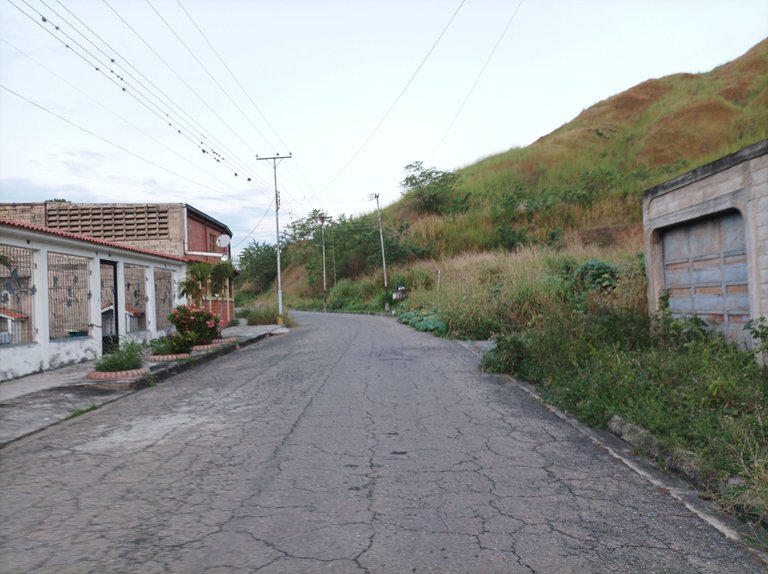
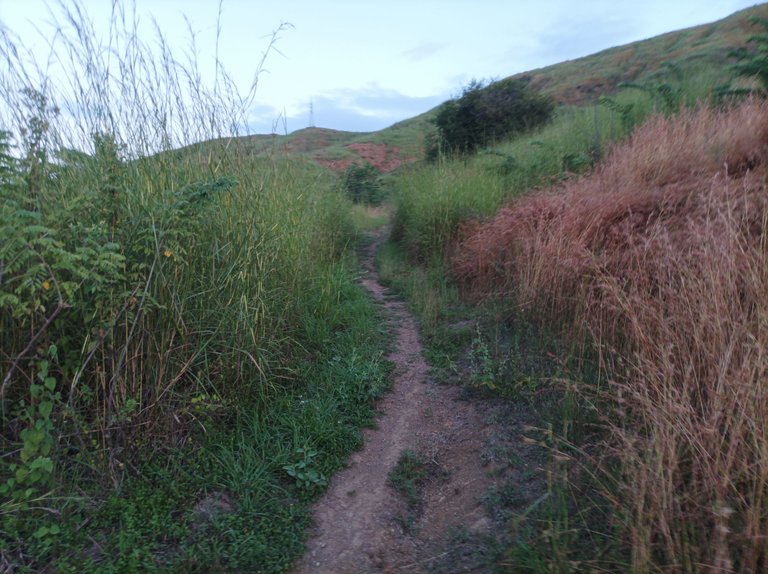
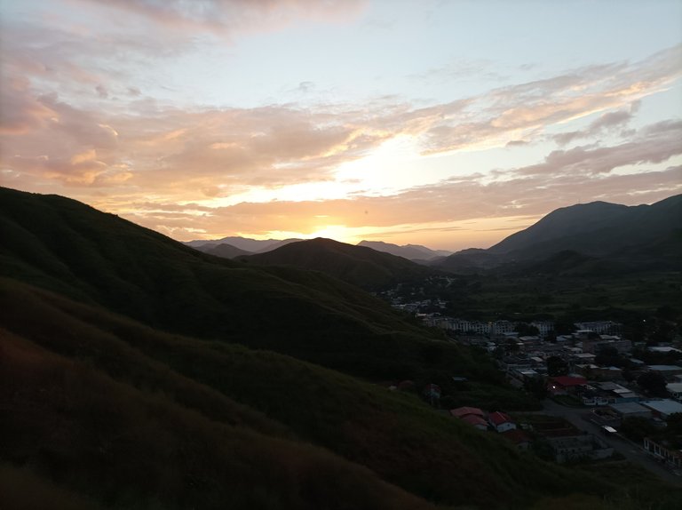
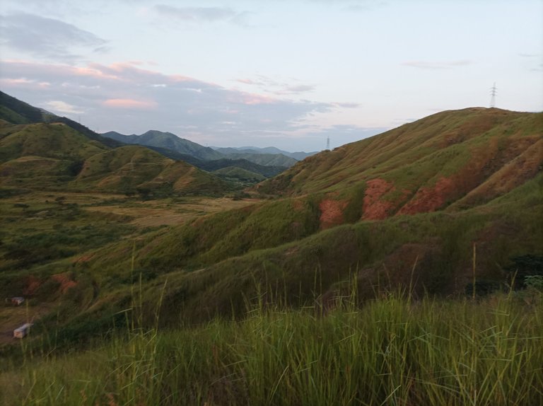
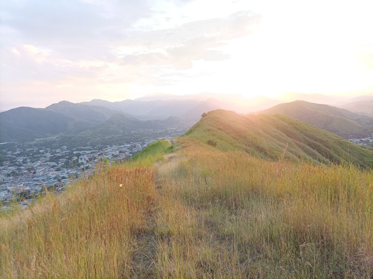
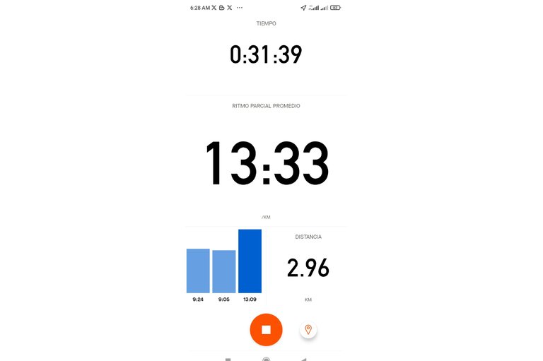
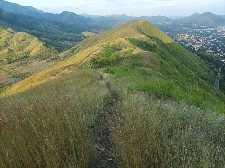
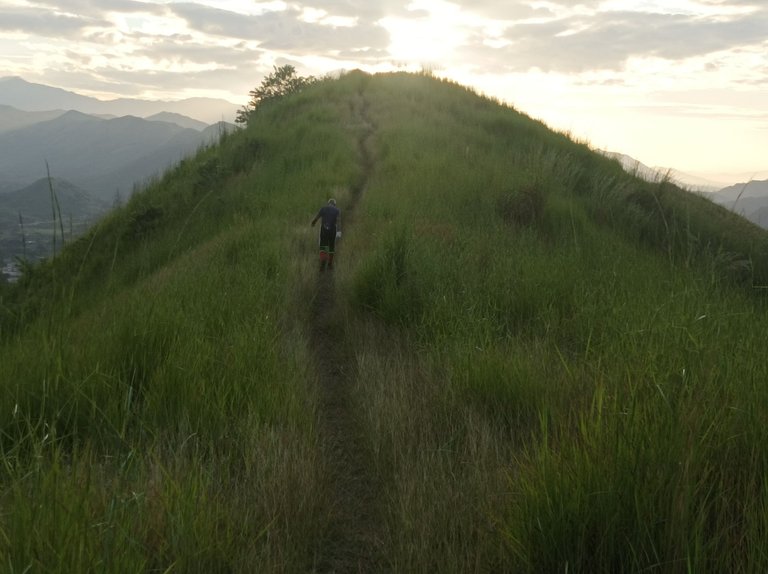
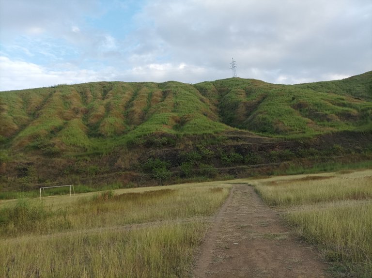
Al pasar por frente de los edificios del Toquito, comenzamos a subir para luego recorrer una parte plana, realizando un tiempo de 19 minutos con 46 segundos, luego comencé a subir la montaña, donde pude apreciar la salida del sol, que muestra un bello paisaje que se refleja en toda la montaña. Al terminar la primera subida hice un tiempo de 26 minutos y luego continúe caminando para pasar la segunda y tercera loma, llegando a la parte más alta con un tiempo de 31 minutos con 39 segundos.
As we passed in front of the Toquito buildings, we began to climb and then cover a flat part, achieving a time of 19 minutes and 46 seconds, then I began to climb the mountain, where I could appreciate the sunrise, which shows a beautiful landscape which is reflected throughout the mountain. At the end of the first climb I made a time of 26 minutes and then continued walking to pass the second and third hills, reaching the highest part with a time of 31 minutes and 39 seconds.
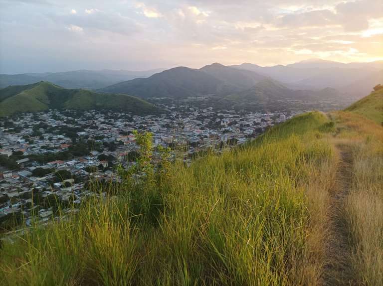
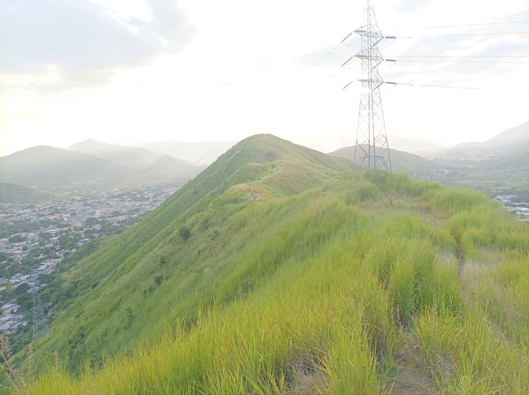
Después baje como 300 metros para una ruta nueva, pero llegué hasta una parte que los arbustos estaban demasiado altos , con un tiempo de 36 minutos, me devolví, de regreso estás bajadas se convierten en una subida bien empinada para nuevamente llegar a la cima y poder ver de frente el centro de Villa de Cura y también la comunidad del Toquito, continúe caminando para descender por detrás de la pista de atletismo, completando los 5K en un tiempo de 1 hora y 1 minuto.
Then I went down about 300 meters to a new route, but I reached a part where the bushes were too high, with a time of 36 minutes, I turned back, on the way back these descents become a very steep climb to reach the top again and To be able to see the center of Villa de Cura and also the community of Toquito in front, continue walking to descend behind the athletics track, completing the 5K in a time of 1 hour and 1 minute.
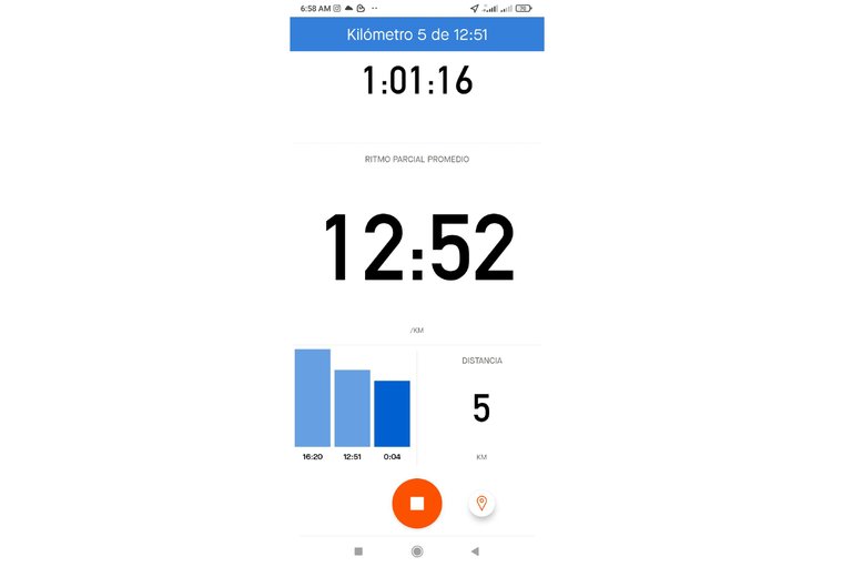
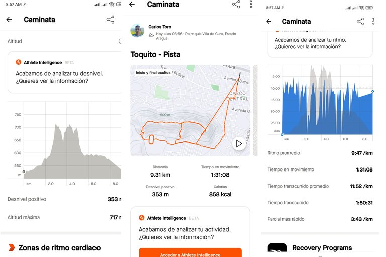
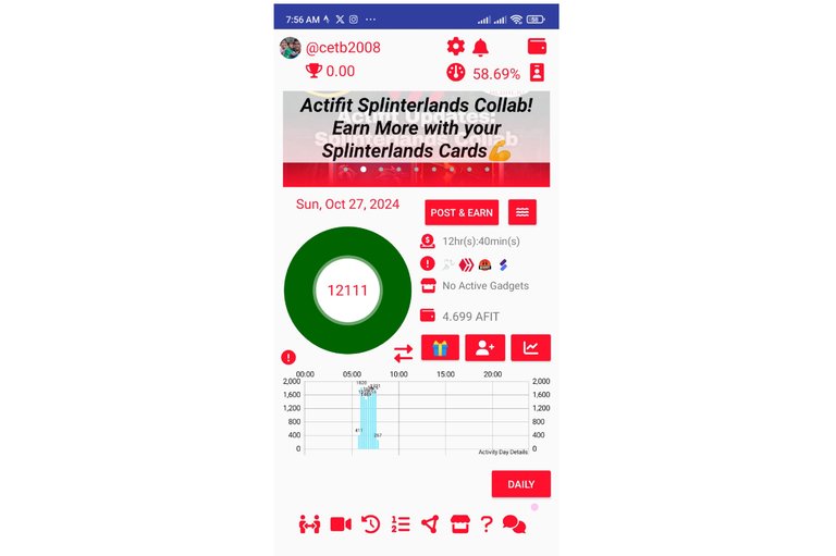
Una vez que llegué a pista, le di tres vueltas y medias para realizar un poco más distancia, y después salí hacia el sector del Toquito, para comenzar a bajar, y tomar la calle doctor Morales, para llegar al centro y terminar mi entrenamiento con un tiempo de 1 hora 50 minutos, con una distancia de 9.31K, con un desnivel positivo de 353m, la altura máxima de 753m, registrado en la aplicación Strava y la 12111 en Actifit.
Once I got to the track, I did three and a half laps to cover a little more distance, and then I left towards the Toquito sector, to start going down, and take Doctor Morales Street, to get to the center and finish my training with a time of 1 hour 50 minutes, with a distance of 9.31K, with a positive gradient of 353m, the maximum height of 753m, recorded in the Strava application and 12111 in Actifit.
Espero que les haya gustado mi entrenamiento de caminata de montaña, nos vemos en el próximo.
I hope you liked my mountain walking training, see you in the next one.
Fotografías: Teléfono Redmi Note 10
Portada realizada en APP GridArt
Logos utilizados de Hive y de fulldeportes
Traductor utilizado: Traductor de Google
Photos: Redmi Note 10 Phone
Cover made in The APP GridArte
Used logos of Hive and fulldeportes
Translator used: Translator used: Google Translate

Vote la-colmena for witness By @ylich

Activo con todo mi hermano💪🔥
Otra caminata más que suma kilómetros de tu vida, me encanta esos recorridos que hace al aire libre, el contacto con la naturaleza es gratificante y reparador, muchos éxitos amigo.
Fuerte abrazo, 🤗saludos
Gracias amiga, saludos.
@cetb2008 eres un duro del entrenamiento de Caminatas. Esos paisajes son un espectáculo, solo me imagino disfrutar la calidad del aire.
Entreno mucho pero no en exteriores, algún día quisiera hacerlo. No creo que te pueda dar la talla contigo, pero me gustaría intentarlo.
Hola amiga, ja ja, gracias.